경로

플래너

기능

업데이트

App

로그인 또는 가입

앱 다운로드

로그인 또는 가입

경로
Places to see
Natural Monuments
오스트리아
로어 오스트리아
바인비에텔
겐세른도르프

그로스-엔저스도르프

그로스-엔저스도르프‬에서 가장 멋진 ‪20‬개의 천연기념물


천연기념물을 방문하여 그로스-엔저스도르프의 아름다운 풍경을 만나보세요. 그로스-엔저스도르프에 있는 20
개의 천연기념물과 상세 정보를 살펴본 후에 방문하고 싶은 천연기념물을 다음 모험 계획에 추가해보세요!

마지막 업데이트: 7월 21, 2026

도나우아우엔 국립공원

하이라이트 (구간) • 자전거 도로

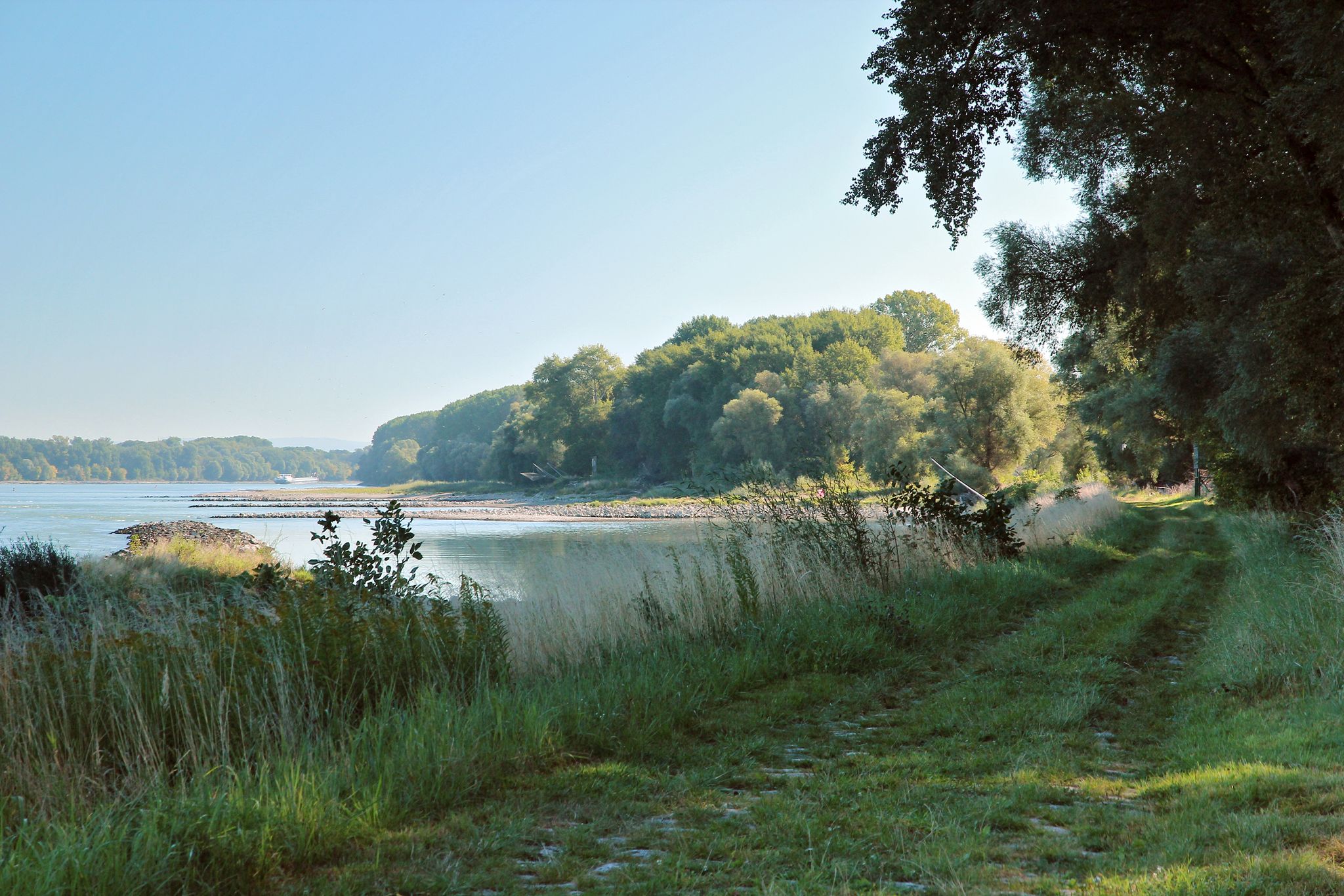
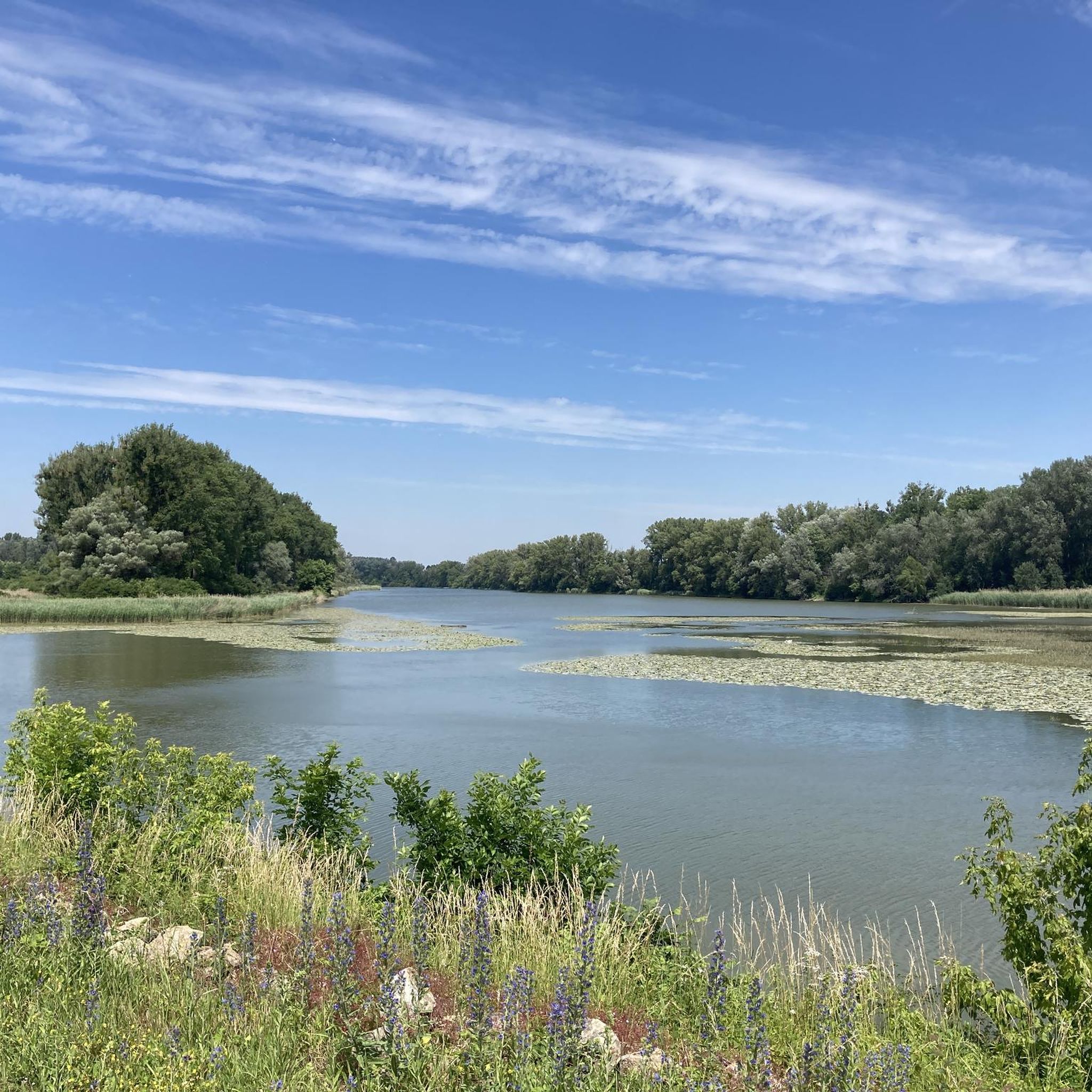
The Donau-Auen National Park in Austria preserves the last large floodplain landscape in Central Europe on an area of more than 9,600 hectares. The Danube, which is still free-flowing here, is the lifeline of the national park for about 36 km. Their dynamic interplay with level fluctuations of up to 7 m redesigns the floodplains again and again. In this way, the Danube River creates habitats for a large number of animals and plants.

번역자 Google •

에 의해

라이딩 보기

휴대폰으로 전송

저장

도나우인젤 남쪽 끝

하이라이트 • 전망대

So here the "island" is over - this is the lower end of the Danube Island. A small "lighthouse" indicates that the end has really been reached here. Here the New Danube meets the Danube and you have a gigantic view towards Schwechat, airport. There is something about the place, just sit down and watch the Danube flow or one of the many ships and breathe in the atmosphere.

번역자 Google •

에 의해

저장

이런 장소를 발견하려면 지금 가입하세요

최고의 싱글 트랙, 봉우리 및 다양한 흥미로운 야외 장소에 대한 추천을 받아보세요.

무료 회원 가입

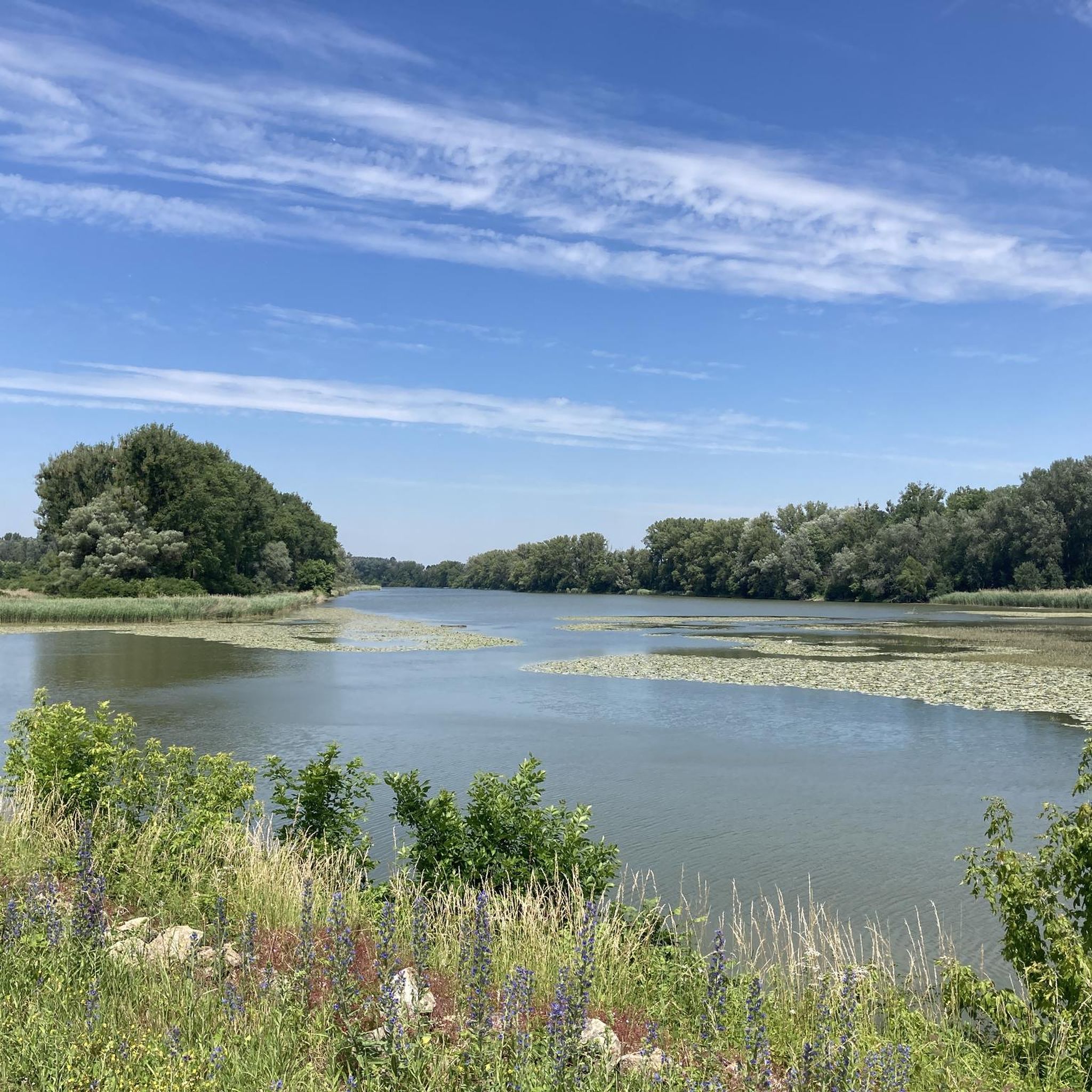
At this point, the Danube Cycle Path turns off the dam into the national park. It offers you a beautiful view of the meadow landscape. Here you can also observe a variety of birds.

번역자 Google •

에 의해

저장

The Danube-Auen National Park is a 9,600 hectare national park that stretches from Vienna to the mouth of the March in Lower Austria on the border with Slovakia. It is one of the largest, largely intact floodplain landscapes in Central Europe along the Danube. The area is 38 kilometers long and measures barely four kilometers at its widest point.

번역자 Google •

에 의해

저장

마우트너바서

하이라이트 • 자연 기념물

The Mauthner water and the crayfish water are protected as natural monuments, as are some trees and groups of trees in the Prater.

번역자 Google •

에 의해

저장

무료로 가입하여 그로스-엔저스도르프 주변의 더 많은 자연 기념물을 발견하세요.

무료 회원 가입

이미 komoot 계정이 있나요?

오늘 무료 계정으로 시작하세요

다음 모험이 기다리고 있어요.
로그인 또는 가입하기

그로스-엔저스도르프 주변 인기 장소

빈 에서 하인부르크 국경까지 - 도나우-아우엔 국가공원 코스

그로스-엔저스도르프 하이킹

그로스-엔저스도르프 로드 사이클링 경로

그로스-엔저스도르프 사이클링

그로스-엔저스도르프 러닝 트레일

그로스-엔저스도르프 주변 그래블 라이딩

그로스-엔저스도르프 MTB 트레일

그로스-엔저스도르프 주변의 다른 모험

빈 에서 하인부르크 국경까지 - 도나우-아우엔 국가공원 코스

하이킹 컬렉션 에 의해

Nationalpark Donau-Auen

커뮤니티 팁

Harald
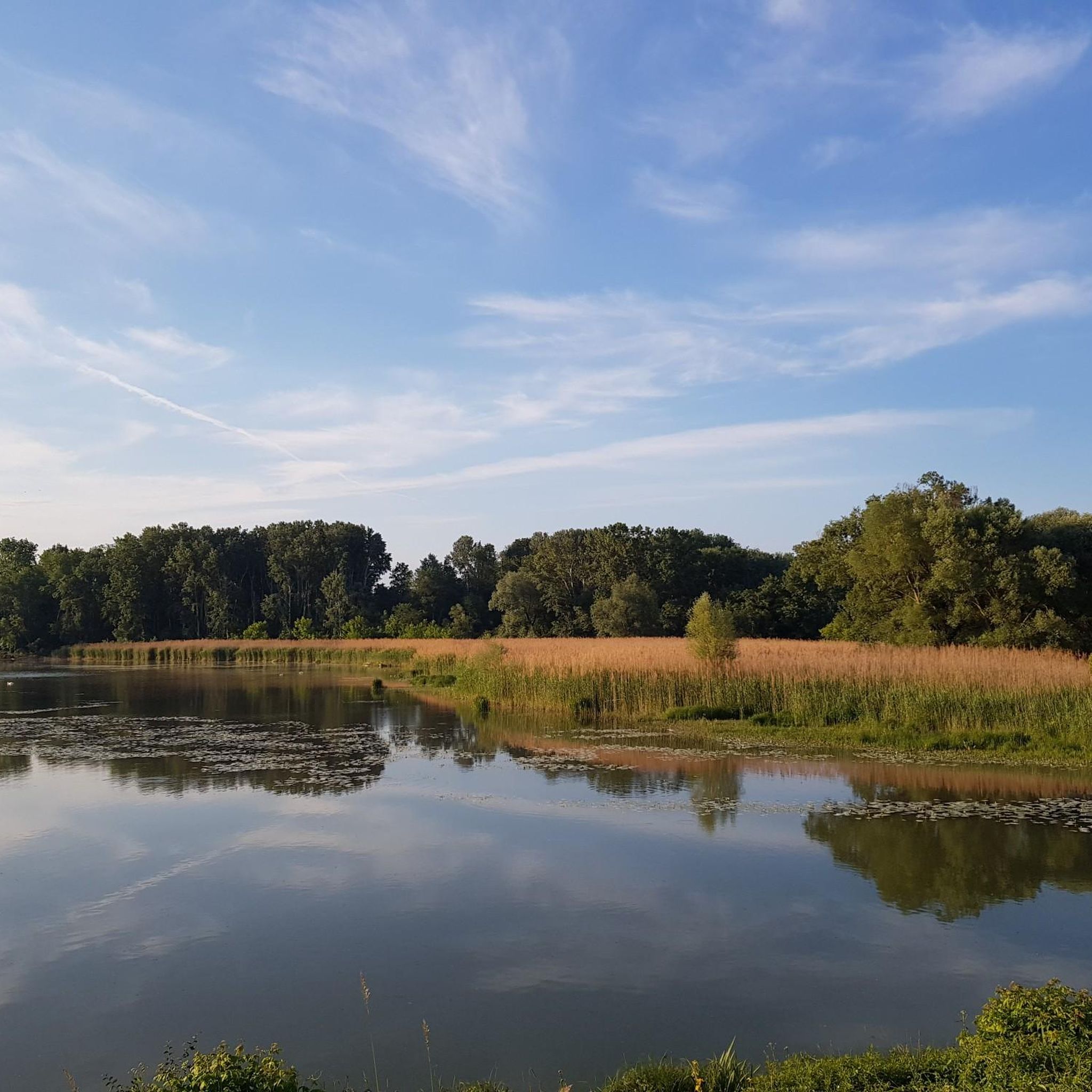
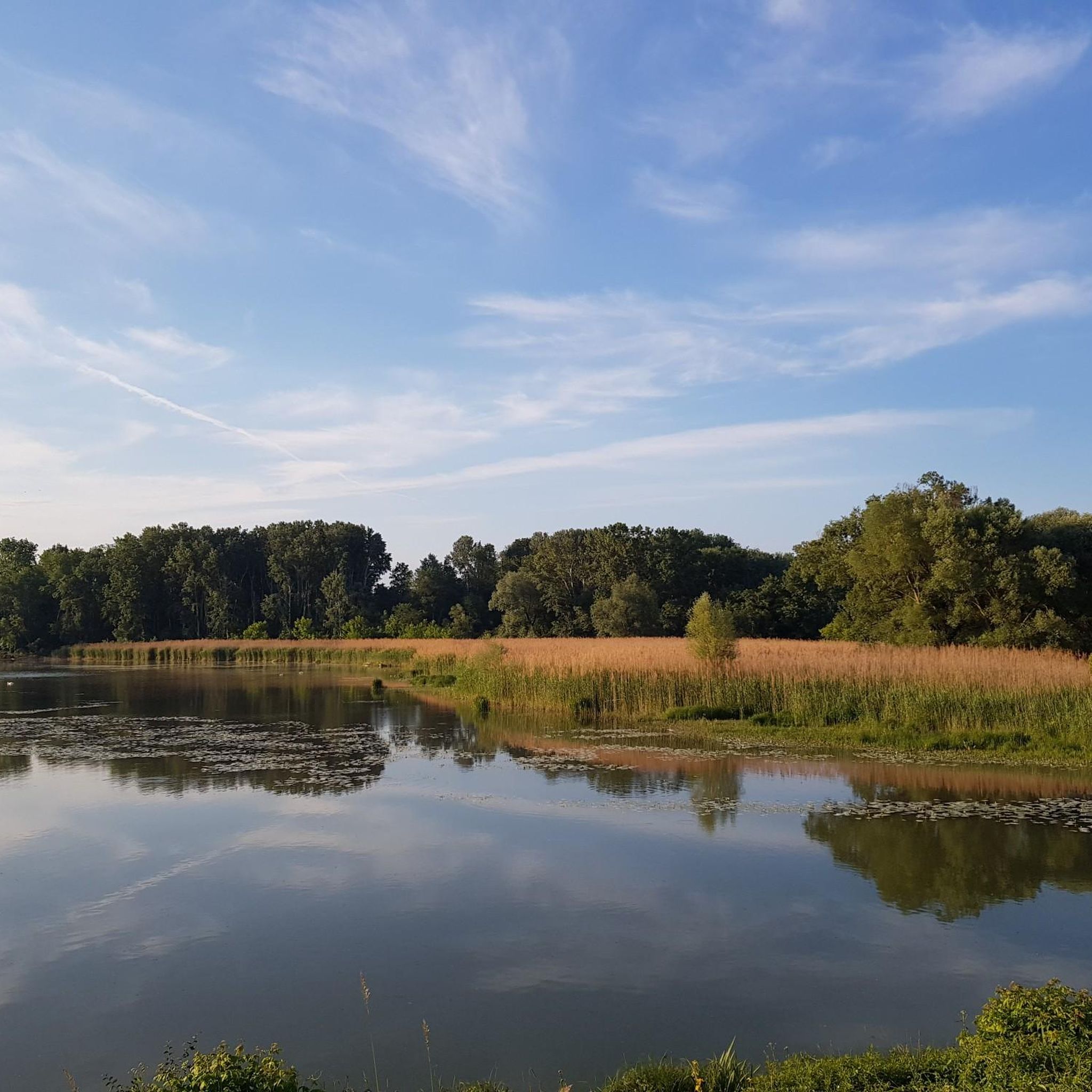
6월 7, 2026, Donauradweg Gravel Section in Nationalpark Donau-Auen

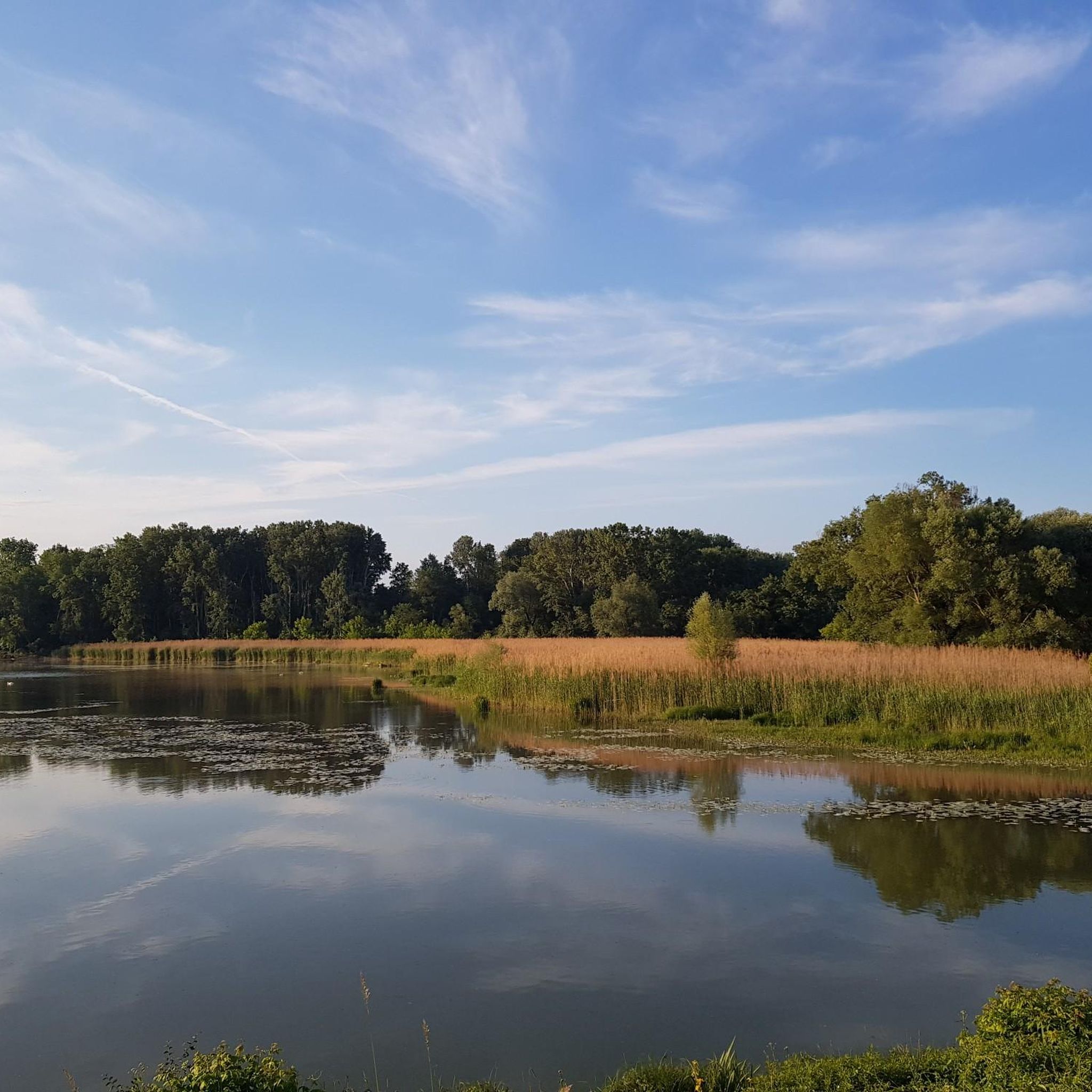
거의 정체된 수역은 반사가 있는 멋진 사진 촬영 명소를 제공합니다.

번역: Google

0

0

markus
5월 24, 2026, Mauthnerwasser

숲에서는 버섯 향기가 나며, 프라터 공원 녹지대의 강가 나무들에도 몇몇 버섯이 자라고 있습니다.

번역: Google

2

0

마우트너바서(Mauthnerwasser)는 비너 프라터(Wiener Prater)에 있는 목가적인 잔잔한 수역으로, 오래된 다뉴브강의 옛 물길의 잔재로 여겨집니다. 이곳의 많은 수역처럼 도시 한가운데 있는 원래의 범람원 풍경의 유물입니다. 특히 보호되는 자연 기념물로서의 지위와 해안가의 풍부한 식생은 수많은 식물과 동물을 위한 서식지를 제공한다는 점에서 흥미롭습니다. 방문객들은 이곳에서 자연 친화적인 길을 따라 산책하거나 도시의 번잡함에서 벗어나 물가에서 편안한 휴식을 즐길 수 있습니다.

번역: Google

2

0

The Danube-Auen National Park is one of the last large, intact floodplain landscapes in Central Europe. It stretches along the Danube between Vienna and Bratislava and covers an area of around 9,600 hectares. The national park protects this unique river landscape, which is characterized by a dynamic interplay of floods, gravel banks, old watercourses and floodplain forests. The national park was created after the successful protests against the construction of a hydroelectric power plant in Hainburg in the 1980s. The protection of the floodplains became a milestone in the Austrian environmental movement. The Danube flows largely unregulated in this section, which means that natural flooding and changes in the course of the river remain possible. This dynamic creates diverse habitats.

번역: Google

2

1

Great cycle paths and beautiful nature

번역: Google

0

1

The Danube-Auen National Park is a 9,600 hectare national park that stretches from Vienna to the mouth of the March in Lower Austria on the border with Slovakia. It is one of the largest, largely intact floodplain landscapes in Central Europe along the Danube. The area is 38 kilometers long and measures barely four kilometers at its widest point.

번역: Google

3

0

EuroVelo 6 always a pleasure

1

0

The Donau-Auen National Park stretches from Vienna to the mouth of the March at the Slovakian border near Bratislava. With a total length of the protected floodplain area of 38 kilometers, the national park is barely 4 kilometers at its widest point, because floodplains are only found in the immediate vicinity of the river. In the north lies the wide plain of the Marchfeld and the protective dam, built in the 19th century, runs through the national park area. In the south, the border is formed by the edge of the Vienna Basin.

번역: Google

4

0

그로스-엔저스도르프 주변에서 가장 인기 있는 경로

그로스-엔저스도르프 하이킹

그로스-엔저스도르프 주변에서 가장 인기 있는 명소

Places to see

Store rating

komoot 모바일 앱으로 영감을 받아보세요

무료 komoot 계정로 끝없는 야외 모험을 손쉽게 찾고, 맞춤 설정하며 길안내할 수 있어요.

또는

지금 komoot에 가입하세요

Store rating

더 살펴보기

그로스-엔저스도르프 주변의 최고의 동굴을 찾기 위해 이 가이드를 확인해보세요:

에카르차우국립공원 도나우엔라스도르프라시도나우-아우엔 국립공원아데르클라엥겔하르트슈테텐마르체그도이치-바그람만스도르프 안 데어 도나우그로스호펜안들러스도르프레오폴즈도르프 임 마르크펠데오르트 데어 도나우글린젠도르프파르바스도르프해링제Markgrafneusiedl운터지벤브룬마첸-라겐도르프지스터스도르프Weiden der March나쁜 피라와스그로스-슈바인바르트바이켄도르프하우스키르헨술츠 임 바인비어텔호엔루퍼스도르프쇤키르헨-라이어스도르프Strasshof an der Nordbahn아우어스탈스판베르크오버시벤브룬노이시들 데르 자야팔테른도르프-도베르만스도르프프로테츠벨름 괴첸도르프호에나우 데어 마치링겔스도르프-니데랍스도르프

근처 어드벤처 가이드

그로스호펜 즐길거리

background

새로운 정복을 위한 준비를 하세요

무료로 가입하기

탐험하기
경로경로 플래너기능바우처 사용하이킹MTB 트레일로드 사이클링 경로바이크패킹사이트맵
앱 다운로드
소셜 미디어에서 팔로우하기

© komoot GmbH

개인 정보 보호 정책