경로

플래너

기능

업데이트

App

로그인 또는 가입

앱 다운로드

로그인 또는 가입

경로
Places to see
Mountain passes
오스트리아
잘츠부르크
할라인

애드넷

애드넷‬에서 가장 멋진 ‪13‬개의 산길

애드넷 주변 최고의 산악 고개는 오스트리아 잘츠부르크의 산악 지역에 위치하며, 그림 같은 울창한 경사면, 석회암 지형, 높은 전망대가 특징입니다. 애드넷은 할라인 근처에 있어 다양한 지형으로 접근할 수 있습니다. 오스터호른 산맥의 일부인 현지 슐렌켄 산은 높이 1,648미터에 달하며 산악 지형을 제공합니다. 이 지역은 독특한 붉은색 애드넷 대리석으로도 유명하며, 지질학적, 문화적 차원을 더합니다.

애드넷 주변 최고의 산악 고개

  • 가장 인기 있는 산악 고개는 로스펠트 파노라마 로드 전망대로, 운터스베르크 산괴를 향한 잘츠부르크 전망을 제공하는 곳입니다. 이 장소는 접근이 용이하며 광활한 산악 전망을…

마지막 업데이트: 7월 21, 2026

Rossfeld Panoramastraße 전망대

하이라이트 • 전망대

Here is a view from the panoramic road towards Salzburg with Untersberg massif.

번역자 Google •

에 의해

라이딩 보기

휴대폰으로 전송

저장

미탁샤르테

하이라이트 • 산악 고개

The Mittagsscharte is a ridge (comb) in the Untersberggebirge.
location

It is located between the Salzburg Hochthron (1 853 m above sea level) in the north and the Raucheck (1 …

번역자 Google •

에 의해

저장

이런 장소를 발견하려면 지금 가입하세요

최고의 싱글 트랙, 봉우리 및 다양한 흥미로운 야외 장소에 대한 추천을 받아보세요.

무료 회원 가입

로스펠트 파노라마슈트라세

하이라이트 • 산악 고개

Rossfeld-Panoramastraße의 동쪽 부분은 Berchtesgaden에서 오는 것보다 오르막길이 약간 더 평탄합니다. Hallein 방향의 전망은 장엄합니다. Golling 방향도 훌륭합니다.

번역문 보기

에 의해

저장

테넨게비르지의 전경

하이라이트 • 전망대

This particularly beautiful section of the route runs along the Salzach River near Kuchl and offers a striking backdrop: As the route runs close to the river through green meadows …

번역자 Google •

에 의해

저장

로스펠트 파노라마 도로

하이라이트 (구간) • 전망대

It is not called Panoramastrasse for nothing. But be careful: From the Berchtesgaden side, your shoes take off in the beginning. From the toll station, the slope becomes more even and the view is phenomenal.

번역자 Google •

에 의해

저장

무료로 가입하여 애드넷 주변의 더 많은 산악 고개를 발견하세요.

무료 회원 가입

이미 komoot 계정이 있나요?

오늘 무료 계정으로 시작하세요

다음 모험이 기다리고 있어요.
로그인 또는 가입하기

애드넷 주변 인기 장소

애드넷 로드 사이클링 경로

애드넷 하이킹

애드넷 사이클링

애드넷 등산

애드넷 주변 그래블 라이딩

애드넷 MTB 트레일

애드넷 러닝 트레일

커뮤니티 팁

®️adl Wander ®️icky 🚴🏼‍♂️🏃🏼‍♂️🏕
4월 25, 2026, Rossfeld Panoramic Road

산악 도로 초보자라면 시계 방향으로 도로를 이용하는 것이 좋습니다. 이 방향으로는 오르막이 그다지 힘들지 않습니다 😉

번역: Google

0

0

A beautiful driveway and sensational panoramic view

번역: Google

0

0

Somewhat steep climb to the summit cross

번역: Google

4

0

A very nice bike path

번역: Google

3

0

The Tennengebirge is a mountain range of the Northern Limestone Alps

번역: Google

5

1

Good footwear Take enough to drink with you Sure-footedness required

번역: Google

0

1

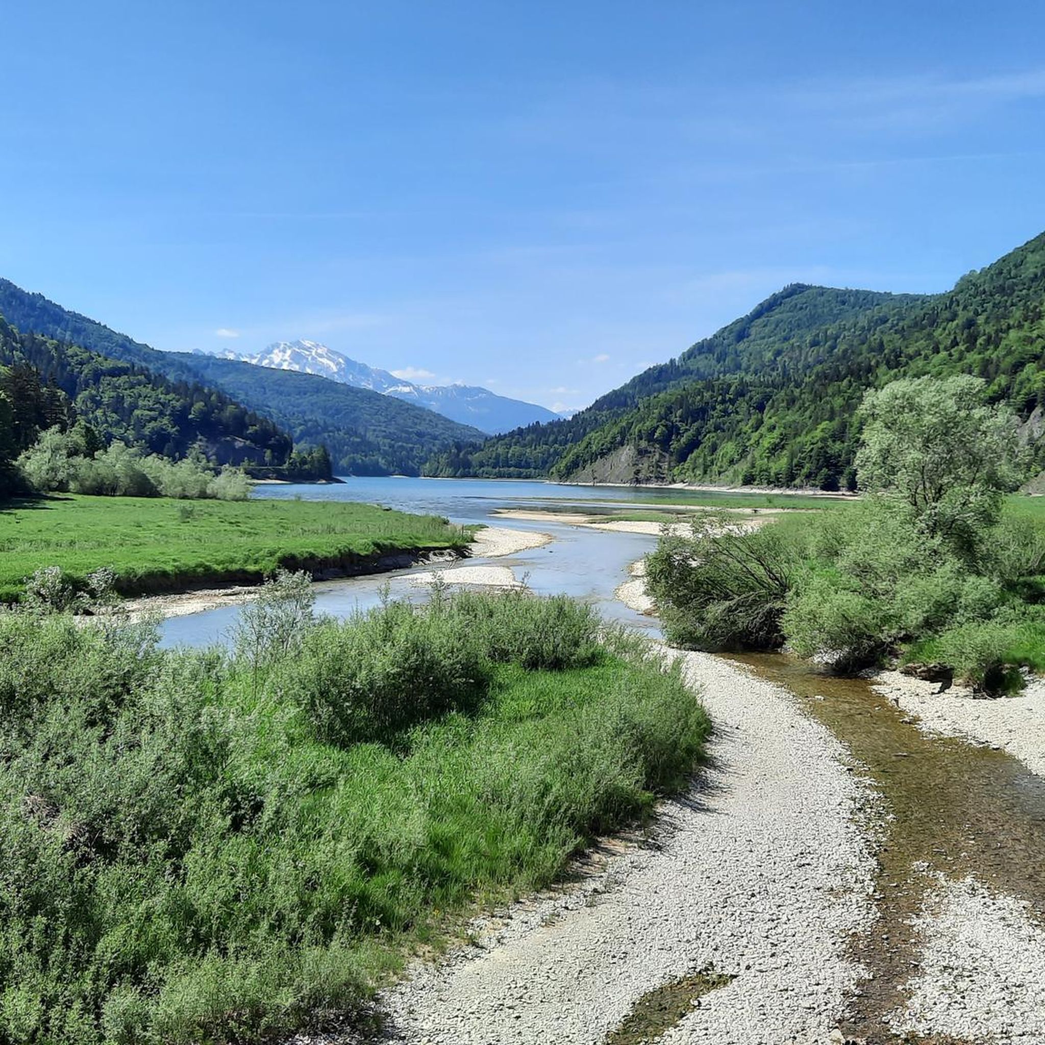
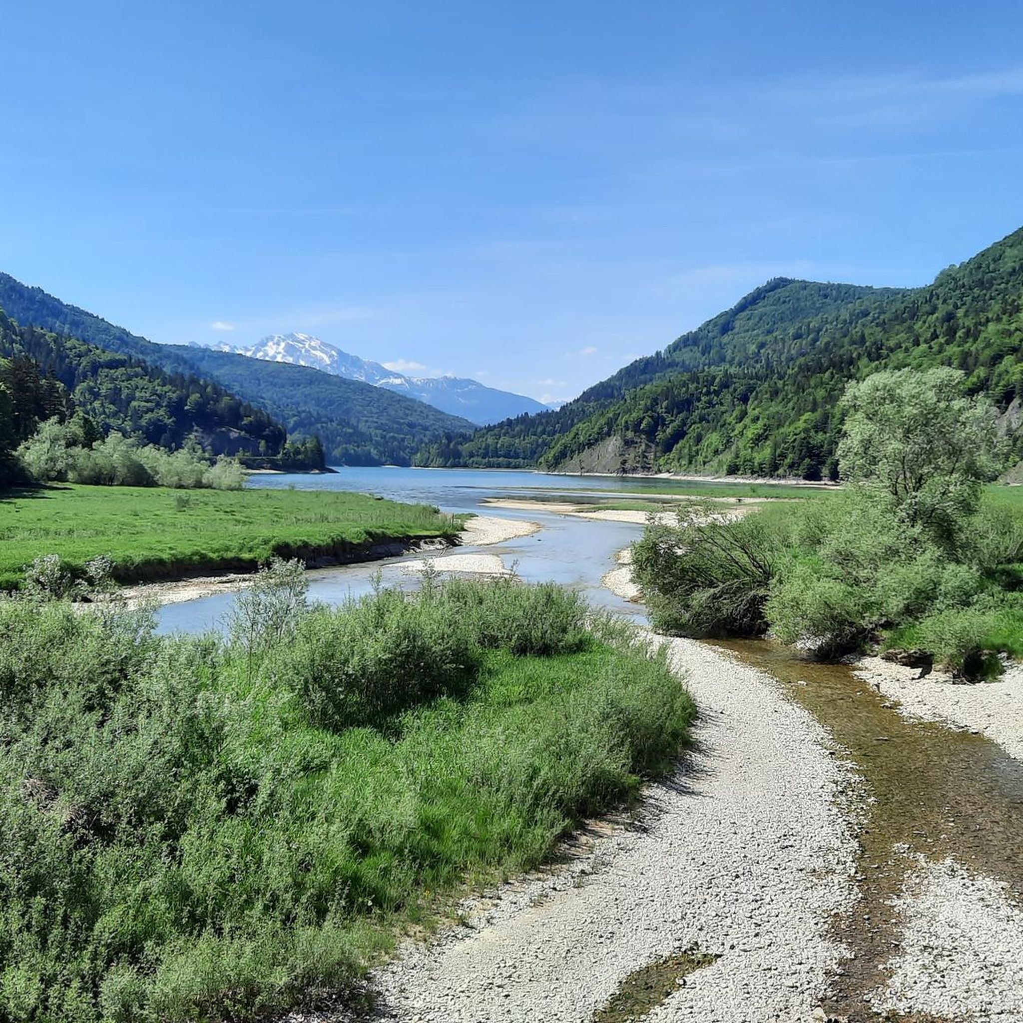
This particularly beautiful section of the route runs along the Salzach River near Kuchl and offers a striking backdrop: As the route runs close to the river through green meadows and floodplain forests, unobstructed views of the majestic Tennengebirge Mountains repeatedly open up. The rugged cliffs and striking peaks form an impressive backdrop to an overall harmonious, natural bike tour. The combination of quiet paths, impressive mountain scenery, and gentle river flow makes this section a true highlight of the region – ideal for anyone who wants to enjoy nature and panoramas in equal measure.

번역: Google

8

1

It is located between the Salzburger Hochthron (1,853 m above sea level) in the north and the Raucheck (1,891 m above sea level) in the south at an altitude of 1,671 m above sea level. A. right on the border between Austria and Germany. Crossing the Untersberg from the Berchtesgadener to the Salzburger Hochthron is one of the most beautiful tours in the Berchtesgaden Alps. The varied path leads over the extensive high plateau with its huge sinkholes - an extraordinary landscape that is second to none.

번역: Google

1

2

애드넷 주변에서 가장 인기 있는 경로

애드넷 로드 사이클링 경로

애드넷 주변에서 가장 인기 있는 명소

Places to see

Store rating

komoot 모바일 앱으로 영감을 받아보세요

무료 komoot 계정로 끝없는 야외 모험을 손쉽게 찾고, 맞춤 설정하며 길안내할 수 있어요.

또는

지금 komoot에 가입하세요

Store rating

더 살펴보기

이 가이드를 통해 더 많은 장대한 산악 통과를 확인해보세요 애드넷 주변:

아나베르그-룽괴츠셰파우 암 테넨게비르게장크트 콜로만압테나우오베랄름푸흐 베이 할라인나쁜 비건골링 안 데어 잘자흐Rußbach am Paß Gschütt쿠츨크리스플Wenger Wald

근처 어드벤처 가이드

나쁜 비건 즐길거리

background

새로운 정복을 위한 준비를 하세요

무료로 가입하기

탐험하기
경로경로 플래너기능하이킹MTB 트레일로드 사이클링 경로바이크패킹사이트맵
앱 다운로드
소셜 미디어에서 팔로우하기

© komoot GmbH

개인 정보 보호 정책