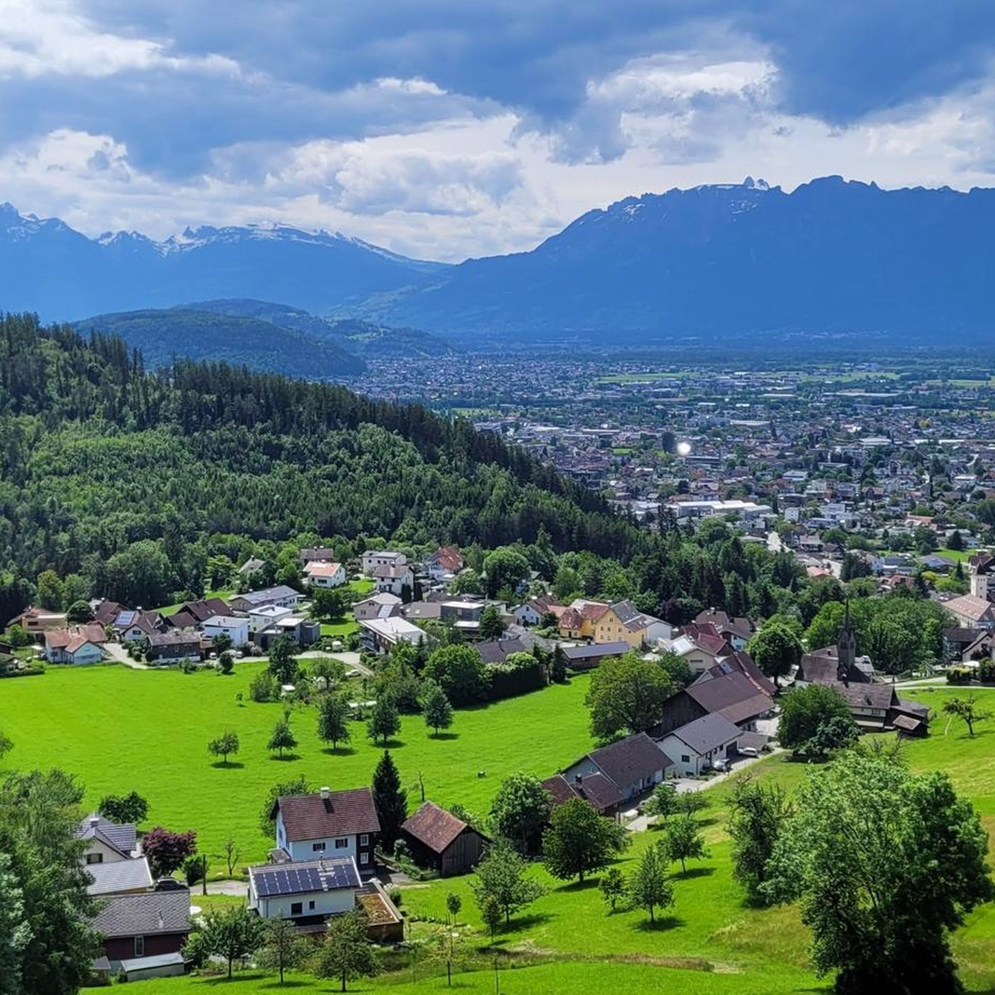
츠비셴바서에서 가장 멋진 산길을 아래에서 살펴보세요. 풍경을 감상하기에도 좋고, 오르막길/내리막길을 따라 걷기에도 좋은 곳이랍니다. 커뮤니티가 특별 도움을 통해 공유한 콘텐츠인 만큼 믿을 수 있는 정보이니 마음에 드는 산길이 있다면 바로 다음 모험 계획에 추가해서 바로 방문해보세요.
마지막 업데이트: 7월 7, 2026
하이라이트 • 정상
번역자 Google •
팁에 의해
이런 장소를 발견하려면 지금 가입하세요
최고의 싱글 트랙, 봉우리 및 다양한 흥미로운 야외 장소에 대한 추천을 받아보세요.
무료 회원 가입
하이라이트 • 산악 고개
번역자 Google •
팁에 의해
무료로 가입하여 츠비셴바서 주변의 더 많은 산악 고개를 발견하세요.
무료 회원 가입
이미 komoot 계정이 있나요?
오늘 무료 계정으로 시작하세요
다음 모험이 기다리고 있어요.
로그인 또는 가입하기
And then it lies down there like a forgotten eye of the landscape: Lake Süns. Dark and round, framed by undulating meadows where summer dwells. No noise, no boats, no paths that claim to lead to the shore. The lake simply looks back – as if you yourself were the stranger in a story that has been told here for much longer. Whoever reaches the pass stands on a line between worlds. Behind you is the lake, in front of you the path to the peak – and to the side, the view stretches far down, where the Rhine Valley disappears. On a clear day, some say you can see Lake Constance. I think you see yourself above all – smaller, but also lighter than you thought. It's not the grand gestures that characterize this hike. It's the way the light clings to the slopes, the way the wind accompanies the path, the way the trail doesn't lead you but invites you. And anyone standing up there—between the Ragazer Grat, the Sünser Joch, and the dark blue of the small lake—may notice: The most beautiful places don't scream. They whisper.
1
0
A path that is a lot of fun. From root paths to mountain climbing and up to 2 ladders. Really recommended.
4
0
The Furkajoch connects the Laternsertal with the Bregenzerwald at an altitude of 1,761 meters. The increase is sharp on both sides, sometimes up to 14%. The Furkajoch has a winter closure, which is usually lifted around Pentecost.
1
0
Here you can descend to the Süsner See and then climb back up to the Sünser Spitze.
2
0
Beautiful view from the saddle of the Damülser Horn, Glatthorn and down to the Stafelalpsee.
1
0
Furkajoch 1759 m The Furkajoch is a mountain pass (pass height 1759 m above sea level, up to 14% gradient) in the Alps (Eastern Alps, Northern Limestone Alps). It connects the valley of the Bregenzer Ach (Bregenzerwald) near Damüls with the valley of the Frutz (Laternsertal) near Laterns. The Furkajoch (Italian forca 'mountain pass', name with Romansh roots) is a pass crossing with ancient but purely local significance. The pass path, which until recently was little more than a natural path, was correspondingly simply developed. Only a few years ago, a modern, narrow road was built over the Furkajoch, the state road L 51 Laternser Straße Rankweil – Laterns – Damüls. The route is popular with motorcyclists and is closed in winter. Text/Source: Wikipedia https://de.wikipedia.org/wiki/Furkajoch
8
1
Staufen (Bregenzerwald Mountains) The Staufen is a 1,465 meter high mountain in the far west of the Bregenzerwald Mountains, rising from the foot of the Vorarlberg Rhine Valley. The mountain peak is often referred to as Dornbirn's local mountain due to its distinctive, isolated shape, even though the summit of the mountain lies on the municipal border between the cities of Dornbirn and Hohenems. The Staufen is connected to Dornbirn's actual local mountain, the 971 meter high Karren, via a mountain ridge. Source: Wikipedia
5
2
이 가이드를 통해 더 많은 장대한 산악 통과를 확인해보세요 츠비셴바서 주변: