엔틀레부흐에서 가장 멋진 9개의 산길
엔틀레부흐에서 가장 멋진 산길을 아래에서 살펴보세요. 풍경을 감상하기에도 좋고, 오르막길/내리막길을 따라 걷기에도 좋은 곳이랍니다. 커뮤니티가 특별 도움을 통해 공유한 콘텐츠인 만큼 믿을 수 있는 정보이니 마음에 드는 산길이 있다면 바로 다음 모험 계획에 추가해서 바로 방문해보세요.
마지막 업데이트: 7월 7, 2026

Lättgässli 고개
하이라이트 • 산악 고개
번역자 Google •
팁에 의해

이런 장소를 발견하려면 지금 가입하세요
최고의 싱글 트랙, 봉우리 및 다양한 흥미로운 야외 장소에 대한 추천을 받아보세요.
무료 회원 가입

Blattenegg
하이라이트 • 산악 고개
번역자 Google •
팁에 의해


Schrattenflue 패스 로드
하이라이트 (구간) • 산악 고개
번역자 Google •
팁에 의해

습지 지역을 지나 힐페렌 고개로
하이라이트 (구간) • 산악 고개
번역문 보기
팁에 의해
힐테너패스 트레일 연결
하이라이트 (구간) • 트레일
번역자 Google •
팁에 의해

오늘 무료 계정으로 시작하세요
다음 모험이 기다리고 있어요.
로그인 또는 가입하기
엔틀레부흐 주변 인기 장소

스위스 바이크패킹 희망 1000 11 단계
번 및 루체른 사이를 걷기 - 나프베르클란드 국경 트레일

산에 눈을 떠보세요 - 스위스의 알프스 전망 트레일

스위스 전국 트레일을 따라 하이킹
Alps의 구릉 지대를 통과하는 8개의 구간 — Alpine Panorama Route
스위스의 마음가짐으로 자전거 타기 - 헤르츠루테
보ден젠 호수에서 제네바 호수까지
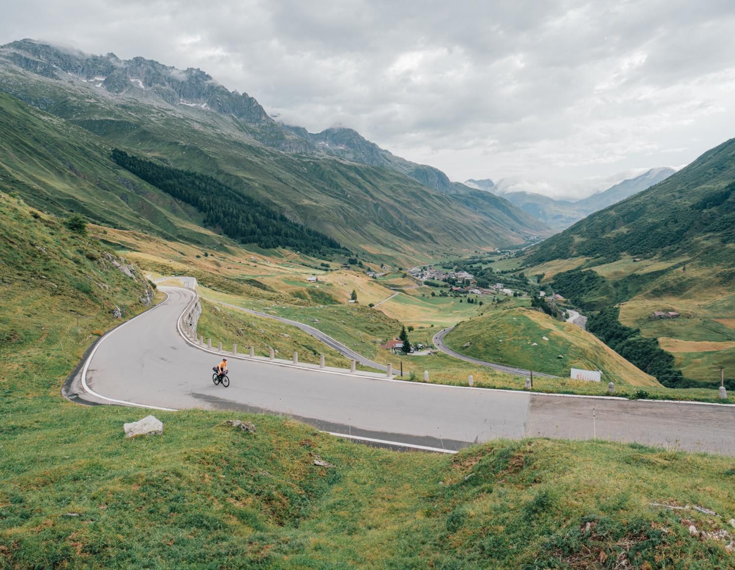
중부 스위스 발견 – 1291 루트 타기
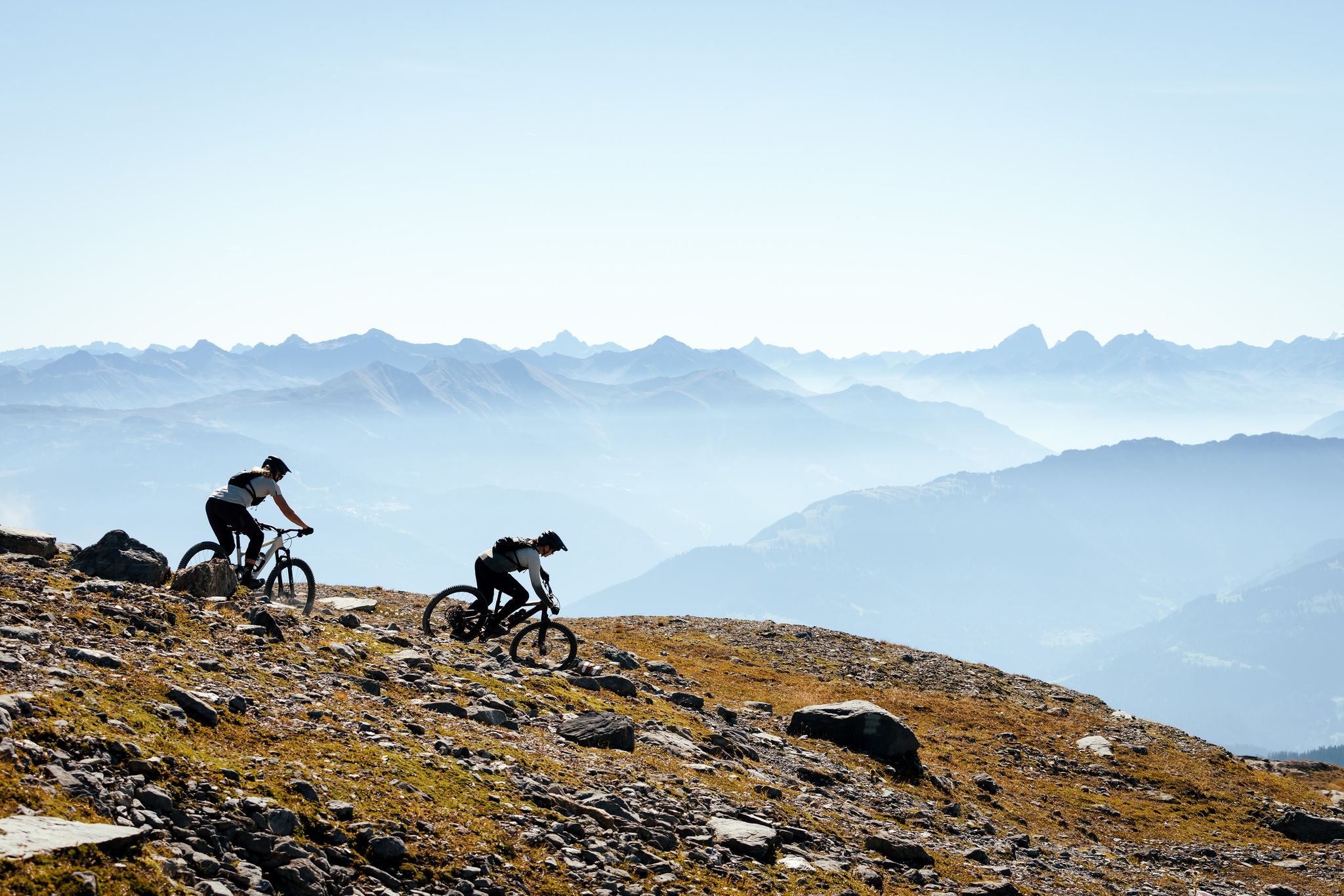
100% Women: the most beautiful MTB routes for every woman
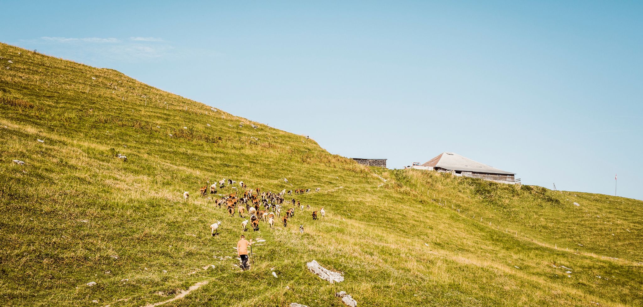
Swiss nature parks — Adrian the Goatherd of Bern
엔틀레부흐 주변의 다른 모험


커뮤니티 팁


On the way to the Glaubenberg Pass, this route is a very pleasant alternative to the direct route through the valley from Wolhusen via Entlebuch. From the Reng Pass, it's only a short descent of a few meters until you rejoin the Glaubenberg route just before Finsterwalde.
0
0

At the foot of the Brienzer Rothorn is the Blattenegg pass, which is often visited on a circular tour from Sörenberg. The path here is a bit bumpy and rocky at times, so it is advisable to take it easy here. The beautiful view of the Entlebuch is best enjoyed during a break.
0
0

Here at Chrutere at an altitude of 2073 m, the path runs along the mountain ridge a little lower on the north side, or along the steep slopes below the very jagged rocky ridge. At this point, the only path branches off, which leads quite steeply down to the north to Rossweid and further to Sörenberg.
1
0

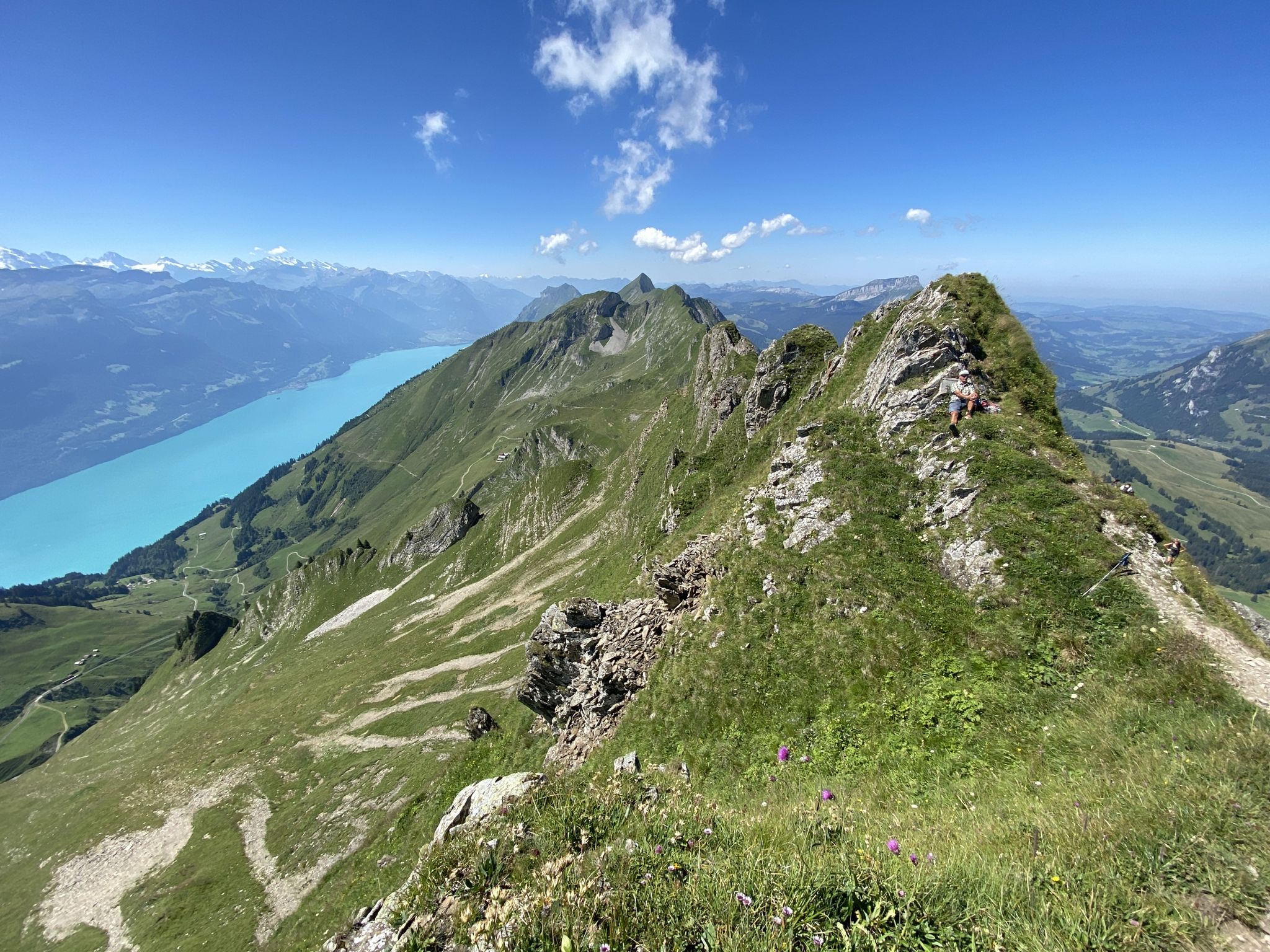
When you climb from Sörenberg, this is the point where you reach the ridge and see Lake Brienz and the peaks of the Bernese Oberland for the first time - breathtaking!
1
0

to get out of the Rotbachgraben, the bike has to be partially carried (pushed).
0
0
The "Lättgässli" is a gully on the north side of the Brienzer Grat with a developed, marked mountain hiking trail. The steep ascent and descent path is developed with steps in the upper part. Here the ridge path leading from the Rothorn changes from the south to the north side. It is therefore a kind of crossing over the Brienzer Grat at an altitude of 2160 m, without being a significant pass. Further down or west at Chrutere at an altitude of 2073 m, the path forks: to the southwest the path continues to the Chrutere pass and from there down to Planalp and Brienz; a steep path with a lot of scree leads down to the north on the steep northern slope of the mountain range down to Rossweid with the gondola down to Sörenberg or as a hiking trail to Sörenberg. Addition: As late as mid-June (2024) there was a lot of snow in the wide crevice. The ascent or descent was quite difficult. The wire rope safety device was absolutely necessary, but also problematic, namely far too loose, as it was obviously aimed at the steps further away.
2
2
엔틀레부흐 주변에서 가장 인기 있는 명소


찾고 계신 것을 찾지 못하셨나요?
엔틀레부흐 주변의 더 놀라운 산악 통과를 지역별로 찾아보세요:
