에스콜츠마트에서 가장 멋진 16개의 산길
에스콜츠마트에서 가장 멋진 산길을 아래에서 살펴보세요. 풍경을 감상하기에도 좋고, 오르막길/내리막길을 따라 걷기에도 좋은 곳이랍니다. 커뮤니티가 특별 도움을 통해 공유한 콘텐츠인 만큼 믿을 수 있는 정보이니 마음에 드는 산길이 있다면 바로 다음 모험 계획에 추가해서 바로 방문해보세요.
마지막 업데이트: 10월 13, 2026

Lättgässli 고개
하이라이트 • 산악 고개
번역자 Google •
팁에 의해

이런 장소를 발견하려면 지금 가입하세요
최고의 싱글 트랙, 봉우리 및 다양한 흥미로운 야외 장소에 대한 추천을 받아보세요.
글라우벤비엘렌 고개
하이라이트 • 산악 고개
번역자 Google •
팁에 의해

글라우벤베르크 고개
하이라이트 • 산악 고개
번역자 Google •
팁에 의해

사르넨에서 글라우벤베르크 고개
하이라이트 (구간) • 산악 고개
It gets pretty cold on the descent from Glaubenberg, so make sure you have something warm :)
팁에 의해

무료로 가입하여 에스콜츠마트 주변의 더 많은 산악 고개를 발견하세요.
이미 komoot 계정이 있나요?
오늘 무료 계정으로 시작하세요
다음 모험이 기다리고 있어요.
커뮤니티 팁


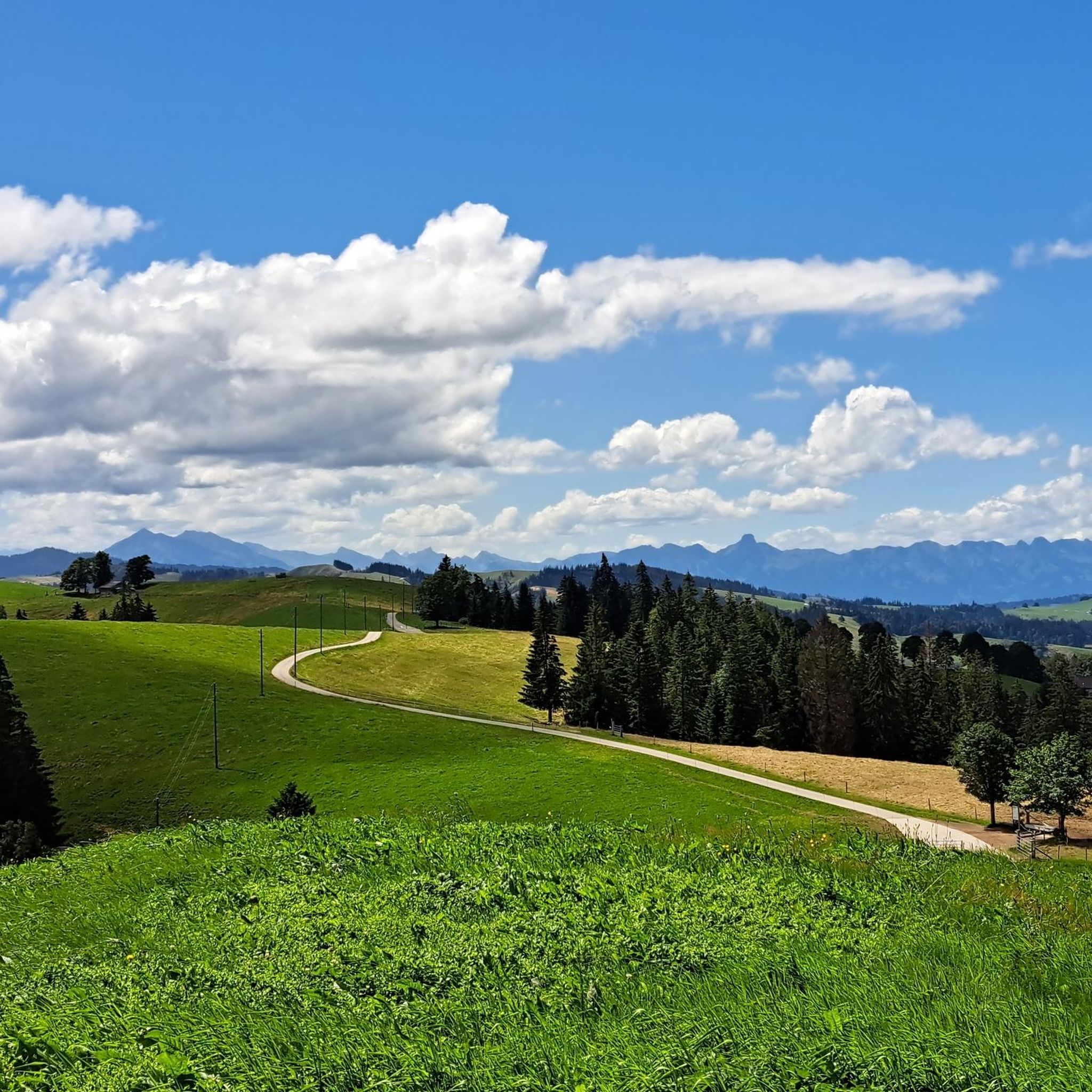
A small mountain pass between the cantons of Obwalden, from Giswil and Lucerne to Sörenberg. The route is narrow on the Obwalden side and in places only single-track, stretching with a very constant gradient of 8 to 12% over meadow slopes and forest up to the highest point. From the Lucerne side, starting at the Brienz Rothorn cable car valley station, it is also only two-track. The highest point is somewhat unspectacular, situated in the sparse mountain forest at the foot of a rock face; the actual pass summit is somewhat lower on the Lucerne side, where there is also a small kiosk.
0
0
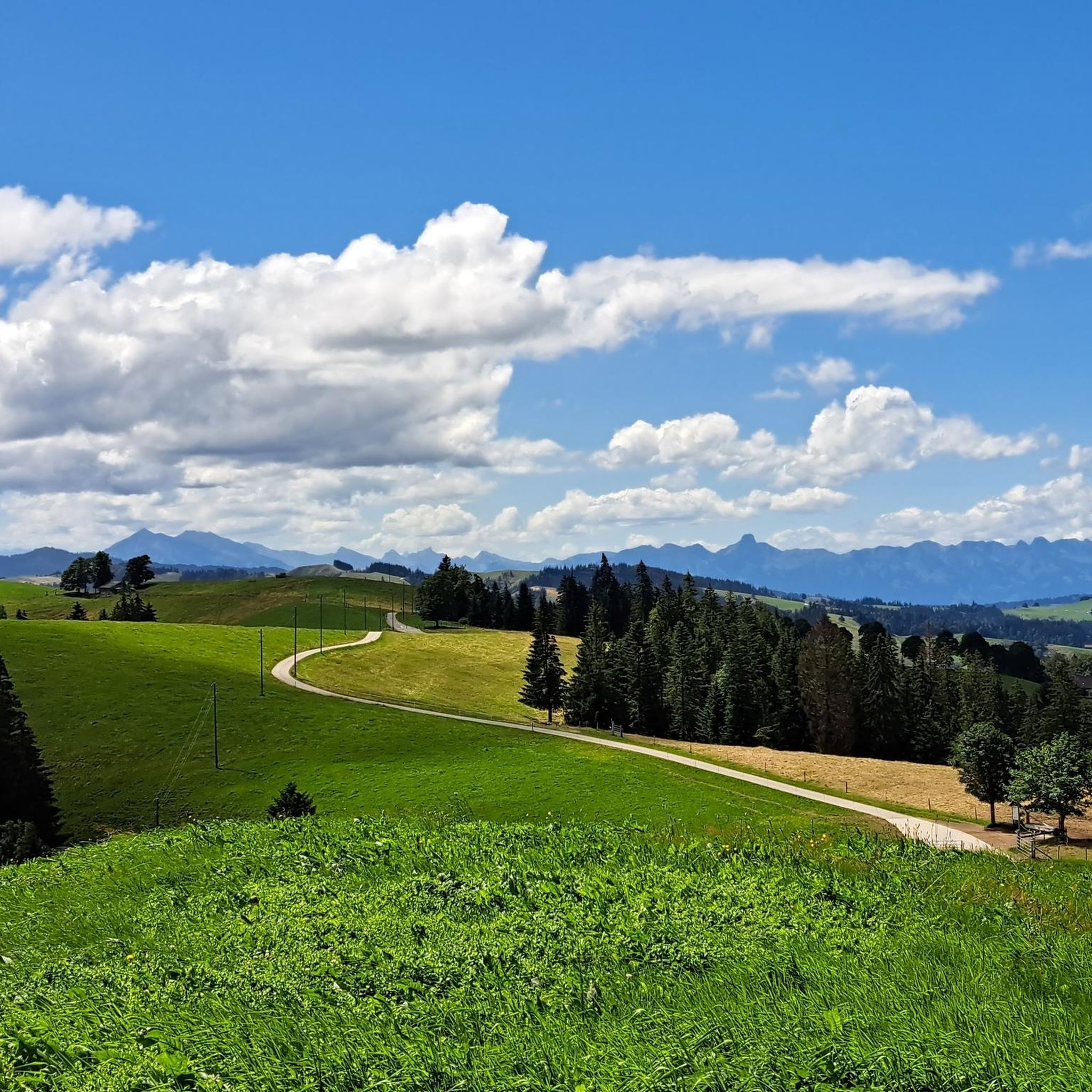
A small mountain pass between the cantons of Obwalden and Lucerne, from Giswil to Sörenberg. The route is narrow on the Obwalden side and in places only single-track, stretching at a very constant gradient of 8 to 12% over meadow slopes and forest up to the highest point. From the Lucerne side, starting at the Brienz Rothorn cable car valley station, it is also only two-track. The highest point is somewhat unspectacular, situated in the sparse mountain forest at the foot of a rock face; the actual pass summit is somewhat lower on the Lucerne side, where there is also a small kiosk.
0
0

Great little restaurant with super friendly service.
0
0

No pain, no gain... But definitely worth it
0
0

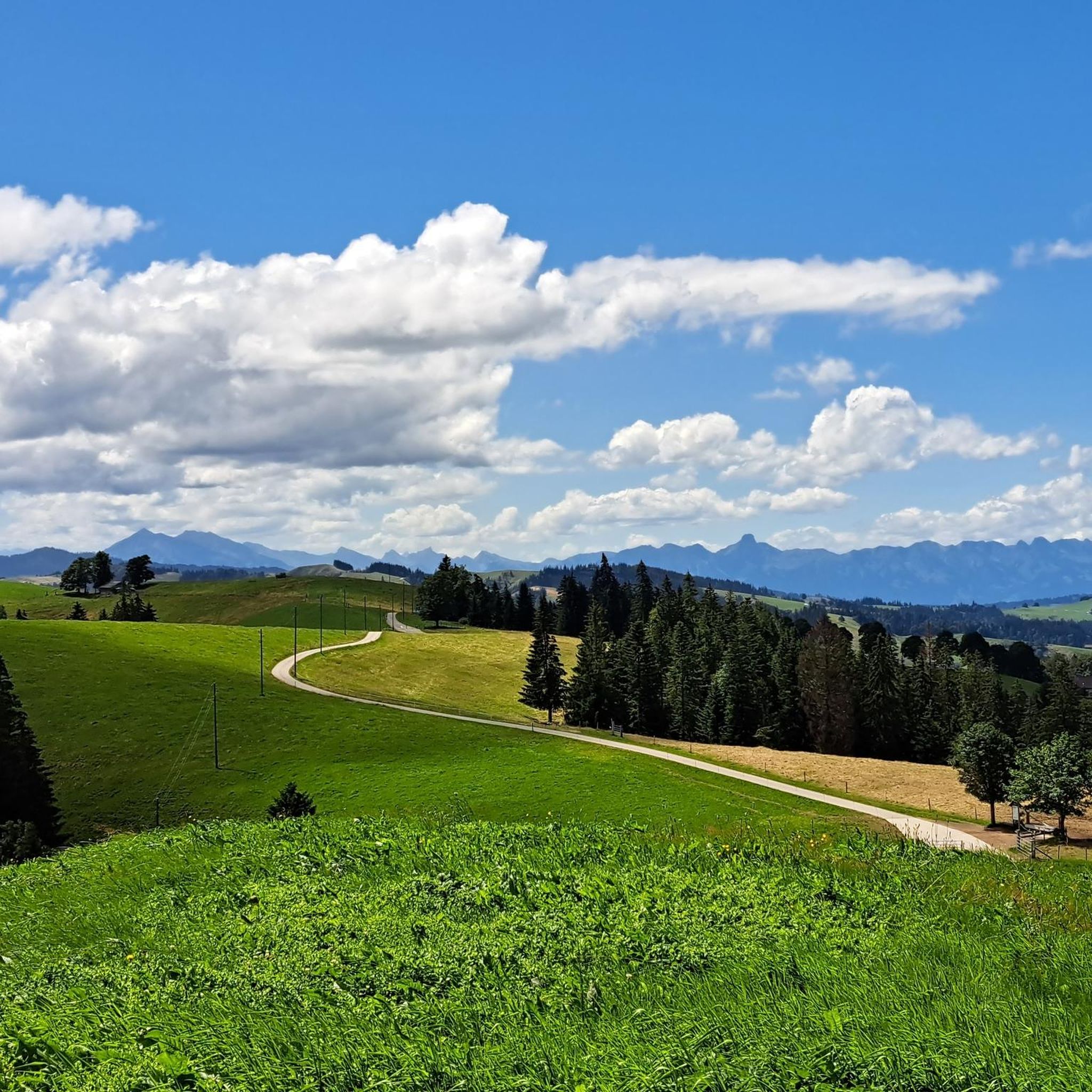
Very beautiful pass. Quite tough with a 10% gradient from Giswil.
1
0

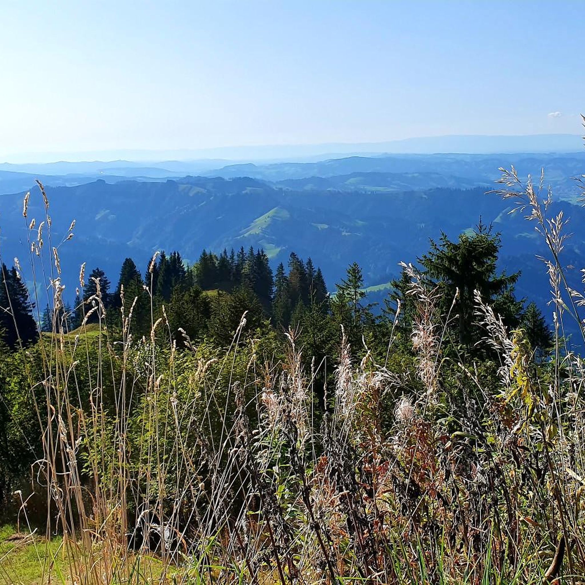
When you climb from Sörenberg, this is the point where you reach the ridge and see Lake Brienz and the peaks of the Bernese Oberland for the first time - breathtaking!
3
0

The "Lättgässli" is a gully on the north side of the Brienzer Grat with a developed, marked mountain hiking trail. The steep ascent and descent path is developed with steps in the upper part. Here the ridge path leading from the Rothorn changes from the south to the north side. It is therefore a kind of crossing over the Brienzer Grat at an altitude of 2160 m, without being a significant pass. Further down or west at Chrutere at an altitude of 2073 m, the path forks: to the southwest the path continues to the Chrutere pass and from there down to Planalp and Brienz; a steep path with a lot of scree leads down to the north on the steep northern slope of the mountain range down to Rossweid with the gondola down to Sörenberg or as a hiking trail to Sörenberg. Addition: As late as mid-June (2024) there was a lot of snow in the wide crevice. The ascent or descent was quite difficult. The wire rope safety device was absolutely necessary, but also problematic, namely far too loose, as it was obviously aimed at the steps further away.
4
2
에스콜츠마트 주변에서 가장 인기 있는 명소


더 살펴보기
이 가이드를 통해 더 많은 장대한 산악 통과를 확인해보세요 에스콜츠마트 주변:
