허퍼드에서 가장 멋진 20개의 천연기념물
천연기념물을 방문하여 허퍼드의 아름다운 풍경을 만나보세요. 허퍼드에 있는 20
개의 천연기념물과 상세 정보를 살펴본 후에 방문하고 싶은 천연기념물을 다음 모험 계획에 추가해보세요!
마지막 업데이트: 8월 30, 2026
슈파첸베르크 정상 십자가
하이라이트 (구간) • 정상
번역자 Google •
팁에 의해


이런 장소를 발견하려면 지금 가입하세요
최고의 싱글 트랙, 봉우리 및 다양한 흥미로운 야외 장소에 대한 추천을 받아보세요.
무료 회원 가입
슈파트첸베르크
하이라이트 (구간) • 전망대
번역자 Google •
팁에 의해

Bonstapel 정상 (342m) – 헤르포르트 군의 최고점
하이라이트 • 정상
번역자 Google •
팁에 의해


일곱 샘 (Linnenbeeke 샘)
하이라이트 • 자연
번역자 Google •
팁에 의해

분더발트 뢰딩하우젠
하이라이트 • 트레일
번역자 Google •
팁에 의해

물 분화구 - 아쿠아 매지카
하이라이트 • 기념물
It is the most impressive work in the AQUA MAGICA park, unique in Germany: the water crater - a walk-in, …
번역자 Google •
팁에 의해

본슈타펠 정상과 유서 깊은 나무 원형
하이라이트 • 정상
번역자 Google •
팁에 의해


무료로 가입하여 허퍼드 주변의 더 많은 자연 기념물을 발견하세요.
무료 회원 가입
이미 komoot 계정이 있나요?
오늘 무료 계정으로 시작하세요
다음 모험이 기다리고 있어요.
로그인 또는 가입하기
허퍼드 주변 인기 장소
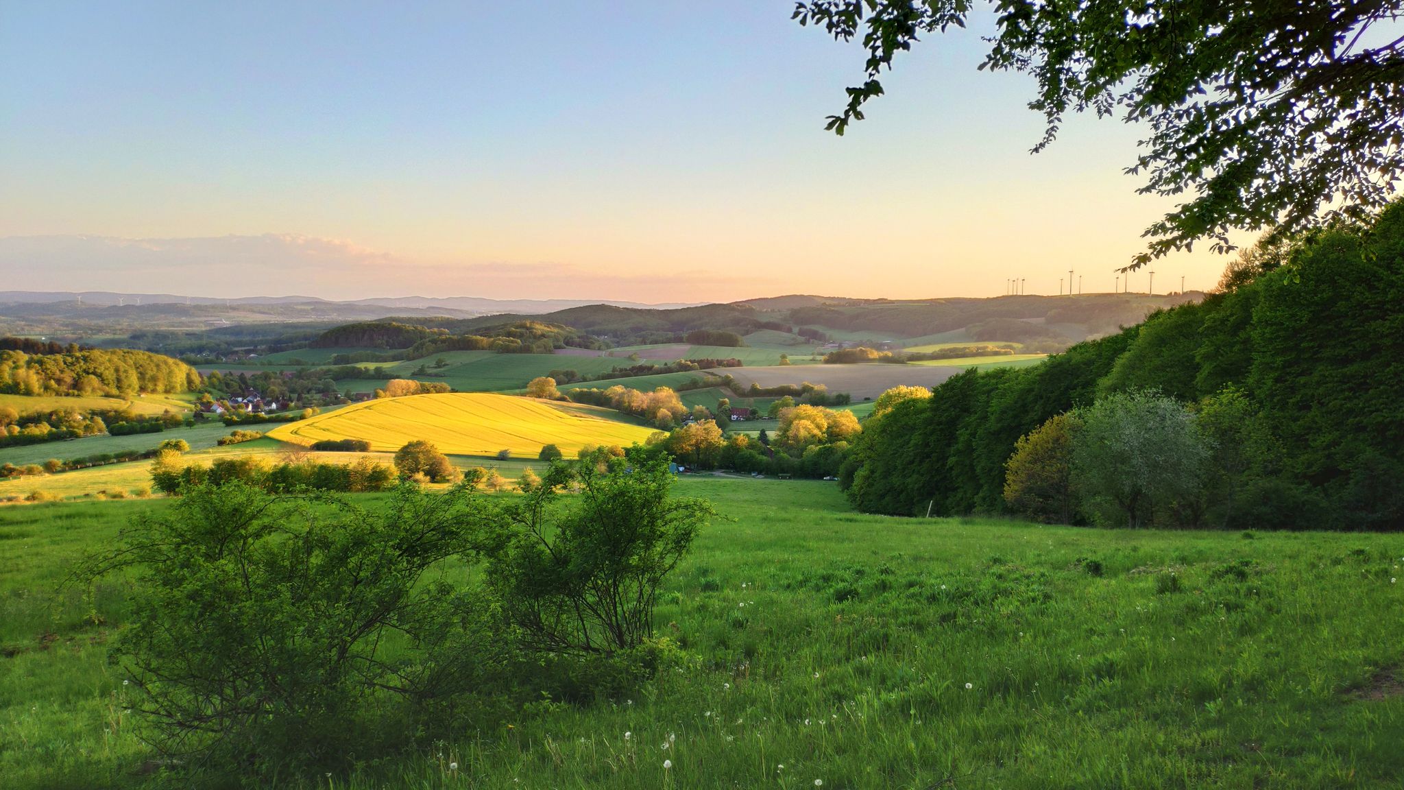
독일 립퍼 베르글란드의 언덕과 재미 – 한사 트레일 6 구간
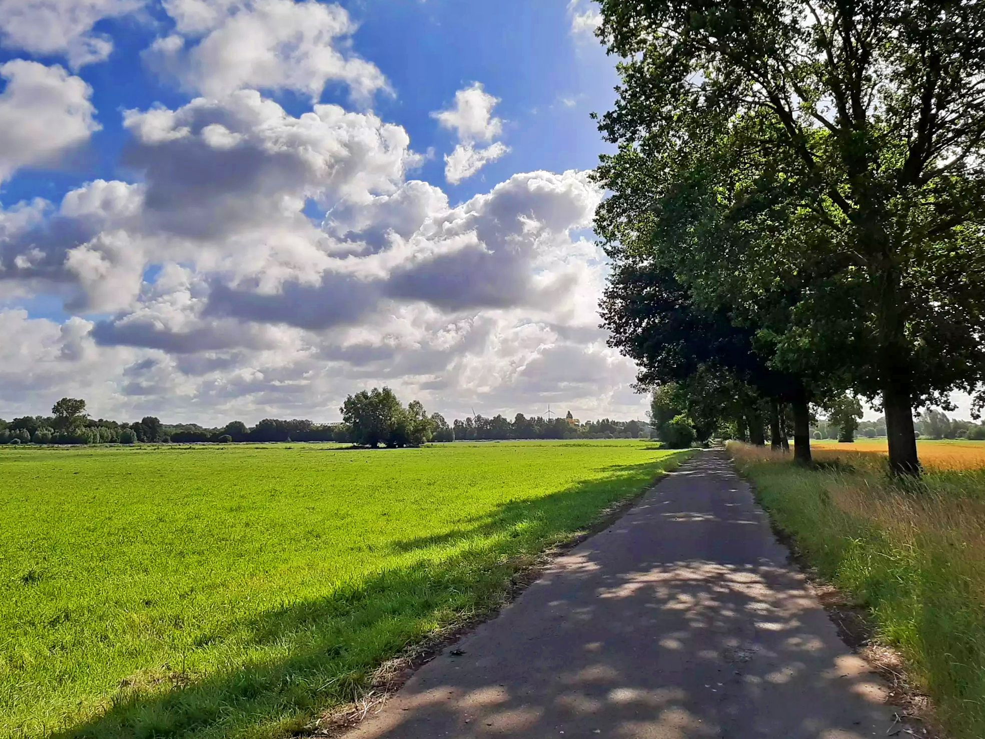
브레멘에서 파더본까지 자전거 타기 – 웨서-리페 자전거 경로
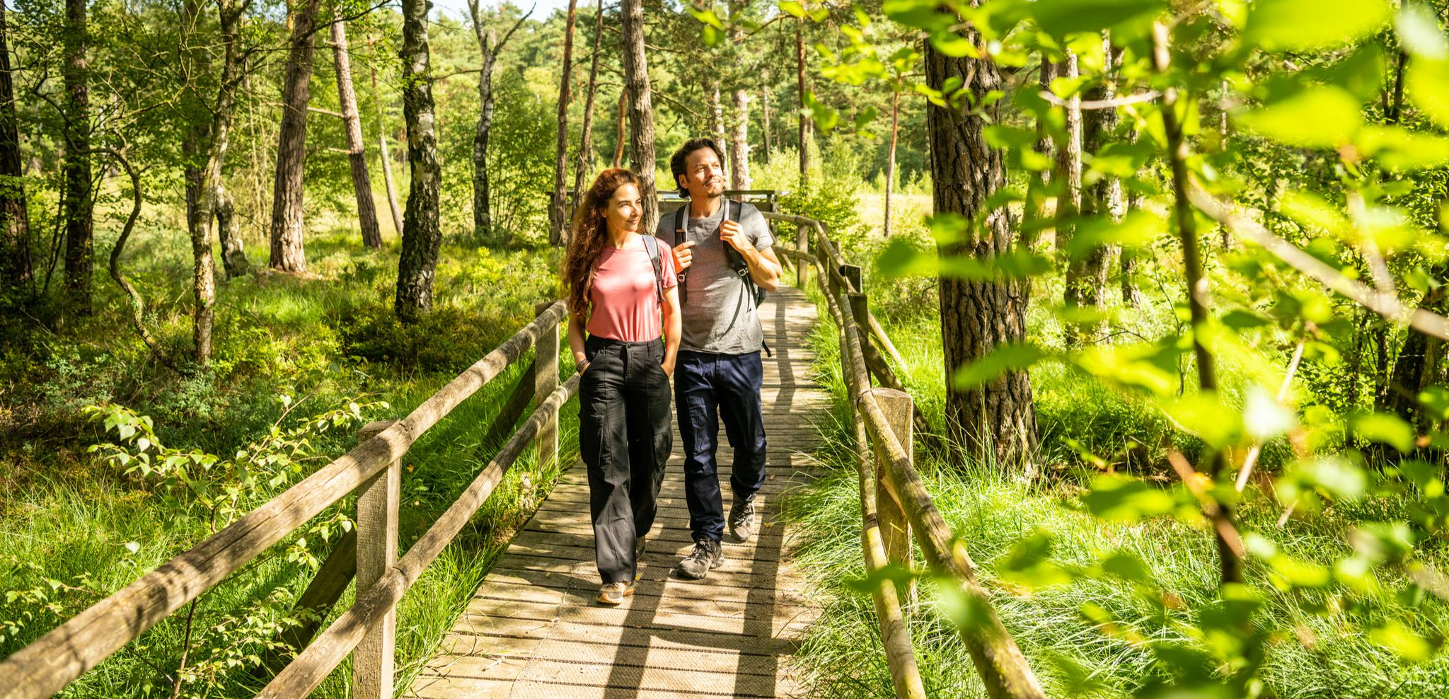
Lippe Quality Trails – hiking in the land of Hermann
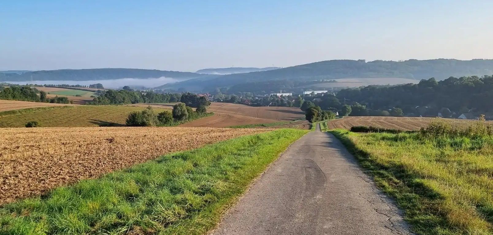
Wittekindsroute – 크라이스 헤르포트를 세 일 만에 돌아다니기
엘세-베레 자전거로 - 오스트베스탈레넨에서 2일 동안 여행
Tour hopping in the Teutoburg Forest in western Germany
Grüne Wege statt Rote Ampeln – Aktive Auszeit im Teutoburger Wald
Mit Rosbacher auf Tour in Westfalen
허퍼드 사이클링
허퍼드 하이킹
허퍼드 주변의 다른 모험


커뮤니티 팁

Located on the Spatzenberg (also called Löhner Berg), below the memorial cross, directly on the cycling and hiking path, is a marl pit, also known as the Grumkuhle (Grum Pit) to the long-established Falscheiders. The marl (Grum) mined here until the mid-20th century served as reinforcement material for agricultural paths, farms, and squares. In the late 1950s and early 1960s, this was a festival site. Today, it is a rest area for cyclists and hikers familiar with the area. You can take a relatively comfortable break on the large, semicircular stone blocks or on a bench nearby. An information board provides interesting facts about the Spatzenberg, its history, and its natural environment. The Spatzenberg, which was predominantly used for agriculture until the mid-20th century, is now half-forested again and a popular local recreation area.
2
0
You can enjoy cycling around Spatzenberg on well-maintained, car-free paths. However, there's no view from the top because the summit area is densely forested.
2
0
The supposed summit cross at the highest point of the Spatzenberg, also called Löhner Berg (96 m, according to Komoot/Open Street Map 101 m above sea level) is actually a memorial. At the foot of the cross, the short inscription reads: "Remembrance Cross. We warn." It was erected in 1954 by the "Association of Returnees" and commemorates the fate of the prisoners of war of World War II. Some historical background: In 1954/55, the last surviving German prisoners of war returned from the former Soviet Union. In 2006, the memorial cross was completely replaced. Those who venture up the steep and somewhat adventurous trail (preferably on foot) will find a wonderful place of silence and contemplation up there.
2
0

Very attractive landscape, wide view to the former Veltheim power station
1
0

There are various trails on Spatzenberg, mostly running north-south. The paved paths lead through the beautiful forest. If visibility is good, the eastern dirt road is recommended. The compromise of limited comfort (condition, gradient) is rewarded with a magnificent view!
3
1

Rödinghausen Wonder Forest elves and many pairs of eyes will be watching your hike. Small games and motivation for children along the way.
1
0


The Rödinghausen Wonder Forest is a stand-alone, 5 km long and (somewhat patchily) marked hiking trail run by the Rödinghausen local history association. Created during the Corona period, it was specifically created for the whole family. It starts at the Rödinghausen church. From here we experience the story of Wanda and her friend Wutz, who was turned into a stone. Wanda must now find the greatest miracle of the forest to save her friend. Along the way, she meets a wide variety of creatures, each of whom has their own idea of the greatest miracle. The texts on the story boards are quite long, but if you read them out loud, it is certainly a highlight for the children. At each station there are beautifully designed creatures to discover that have something to do with the overall story. In addition, there are a few tree spirits to be found on the right and left of the entire path, which invite you to branch off the main path again and again and explore the nearby forest. There are also a few branches off the main route that are unmarked but intended as alternative routes. Here is a somewhat schematic overview map: https://www.facebook.com/wunderwaldroedinghausen/?locale=de_DE Printed flyers are also available at the car park. The route is supposedly suitable for the whole family and also for strollers. That's only half true. It runs almost exclusively on farm roads, but the descent from the Nonnenstein is rather steep and the roughly paved forest paths are, in my opinion, only partially suitable for strollers. Especially since the story is told in such detail that the children should also be of a certain age.
2
0


