에센로에에서 가장 멋진 14개의 산길
에센로에에서 가장 멋진 산길을 아래에서 살펴보세요. 풍경을 감상하기에도 좋고, 오르막길/내리막길을 따라 걷기에도 좋은 곳이랍니다. 커뮤니티가 특별 도움을 통해 공유한 콘텐츠인 만큼 믿을 수 있는 정보이니 마음에 드는 산길이 있다면 바로 다음 모험 계획에 추가해서 바로 방문해보세요.
마지막 업데이트: 9월 13, 2026
케셀베르크 고개 정상
하이라이트 • 산악 고개
번역자 Google •
팁에 의해


이런 장소를 발견하려면 지금 가입하세요
최고의 싱글 트랙, 봉우리 및 다양한 흥미로운 야외 장소에 대한 추천을 받아보세요.

밤베르크 고개 (1,304m)
하이라이트 • 산악 고개
* Elevation: 1304 m above sea level.
* It is the highest peak of the Wamberg Saddle, a mountain ridge in the Werdenfelser Land region.
* This …
번역자 Google •
팁에 의해

플란제에서 오버아머가우까지
하이라이트 (구간) • 트레일
번역자 Google •
팁에 의해

무료로 가입하여 에센로에 주변의 더 많은 산악 고개를 발견하세요.
이미 komoot 계정이 있나요?

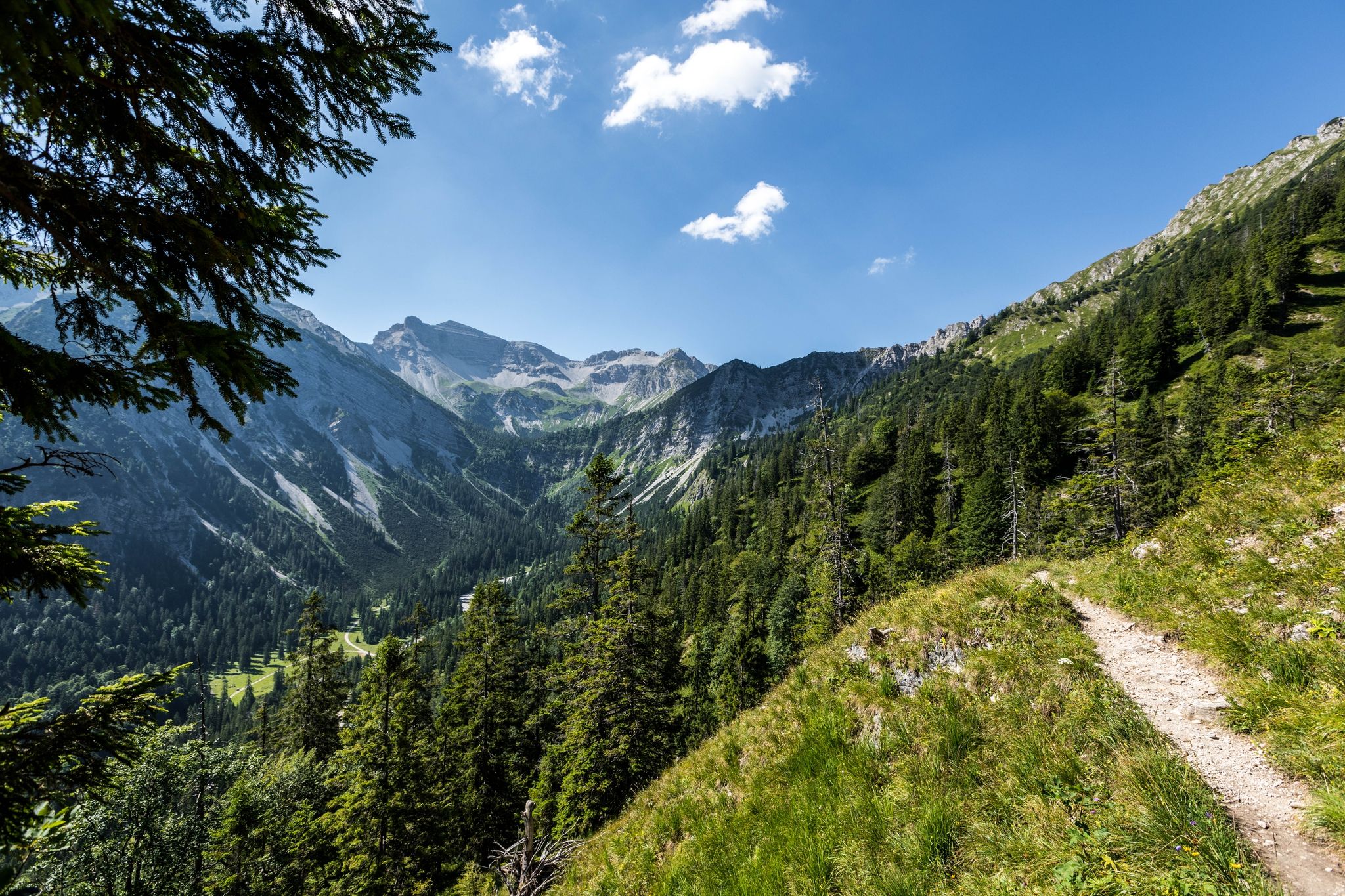
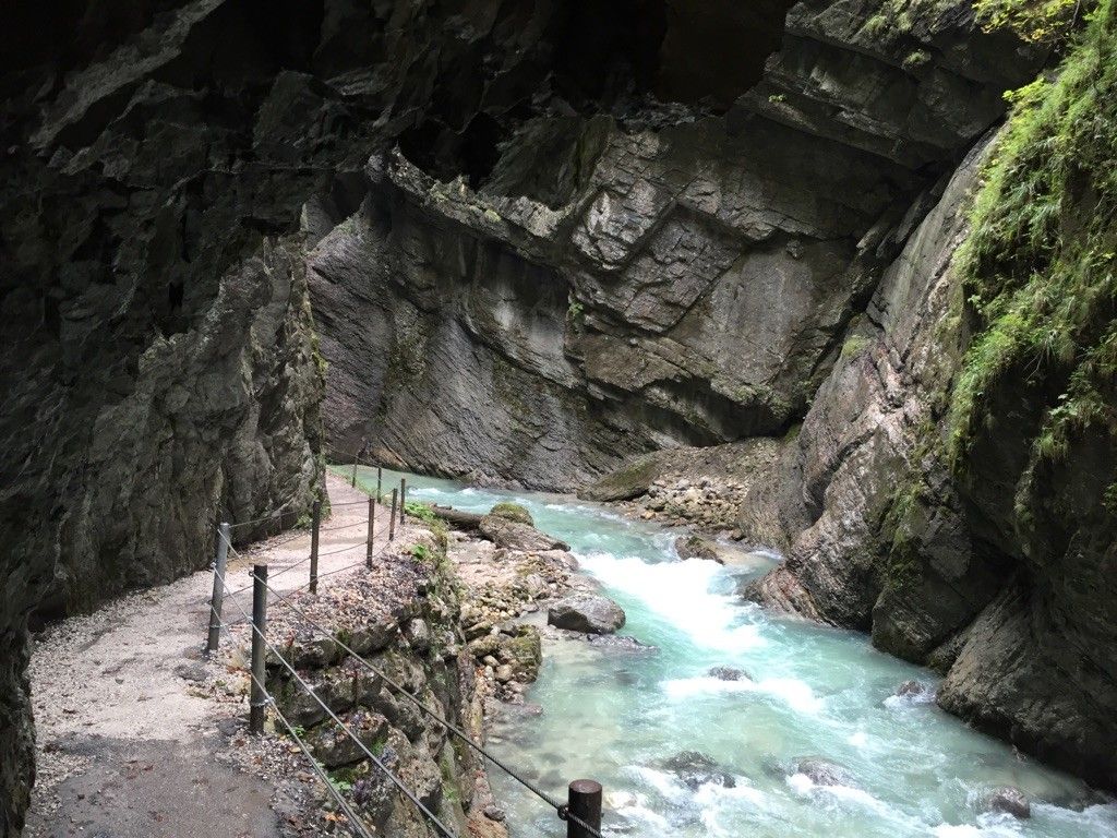
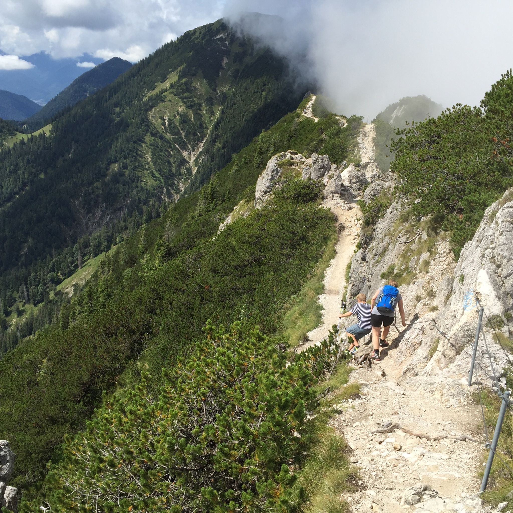
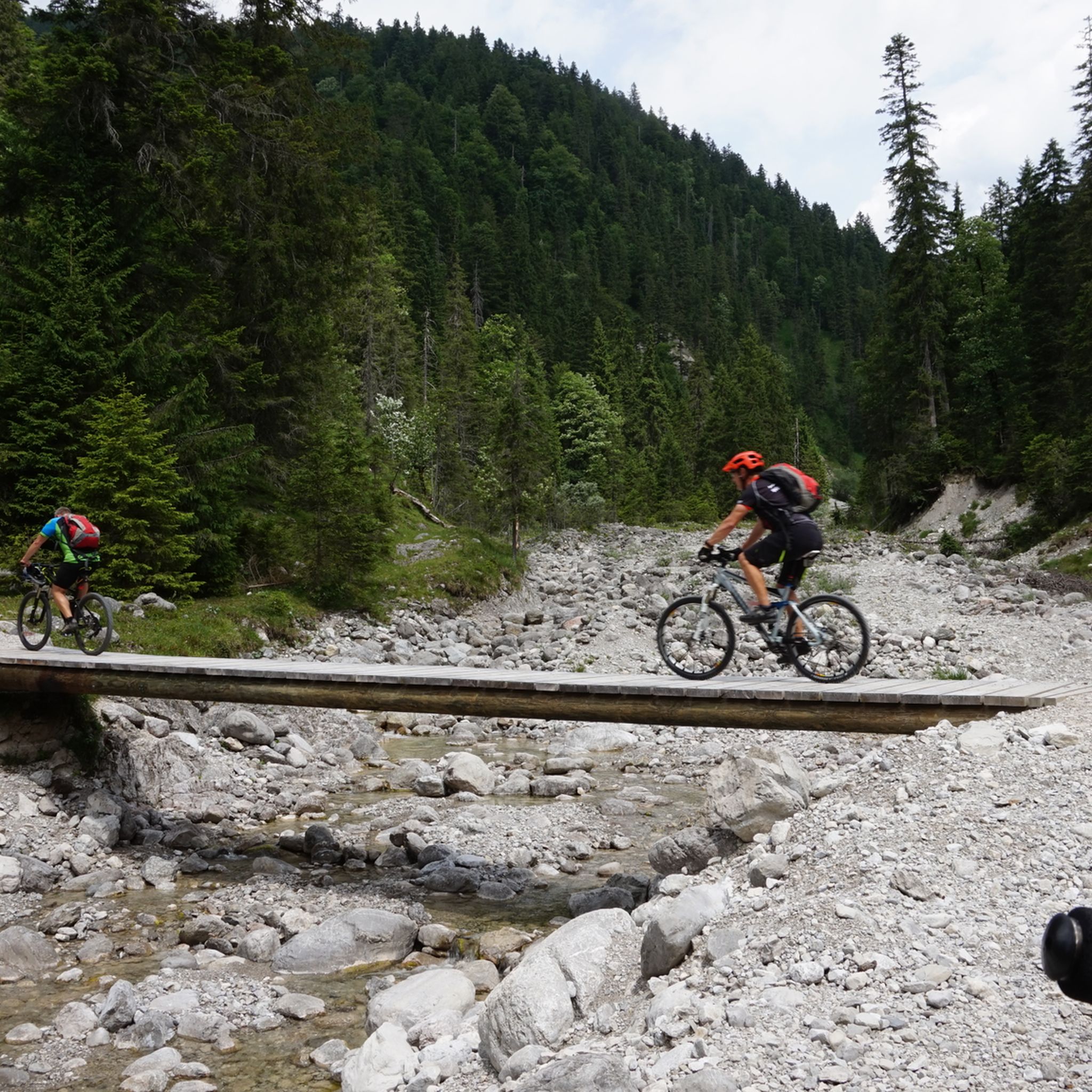



커뮤니티 팁

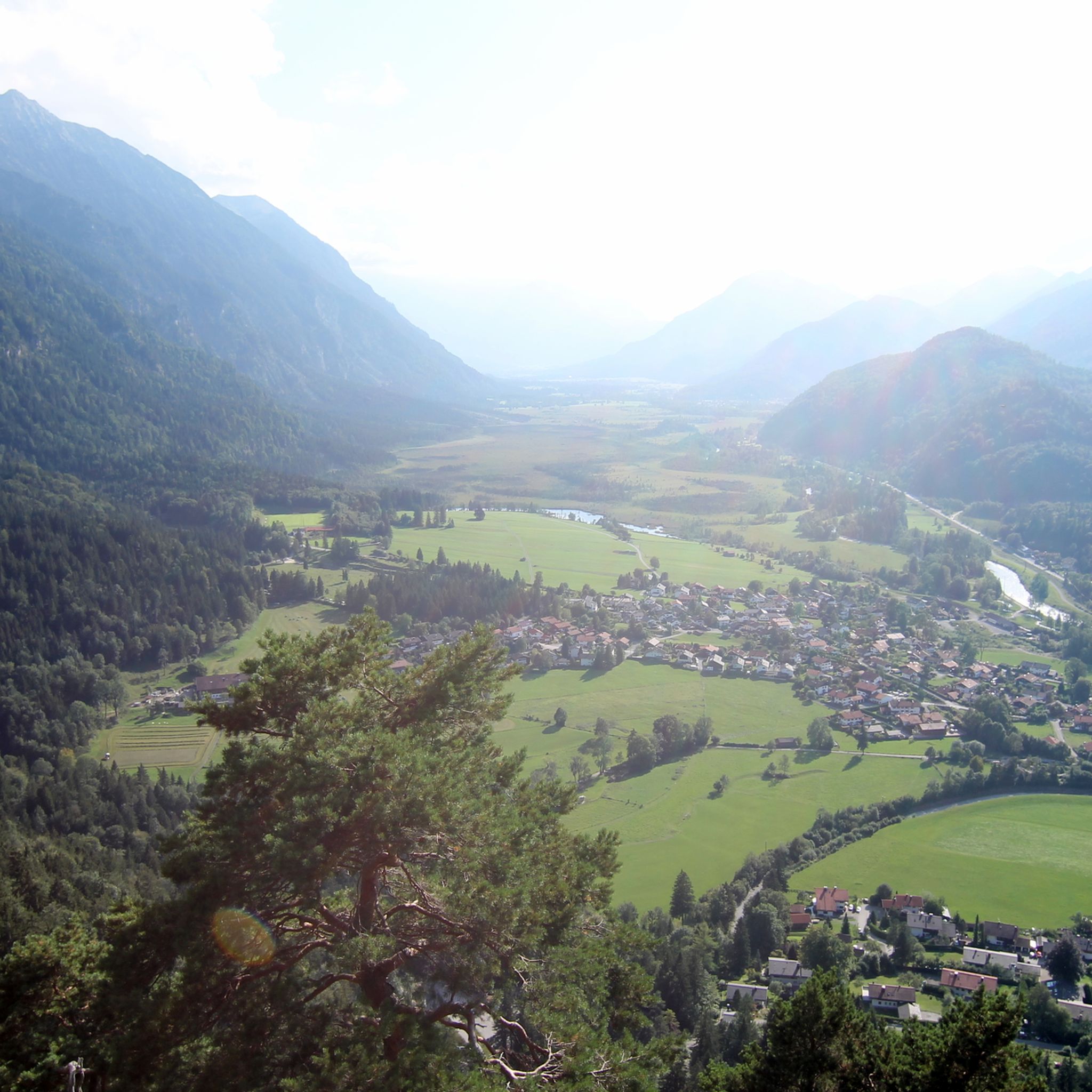
Ettaler Sattel은 Naturpark Ammergauer Alpen 가장자리에 있는 경치 좋은 산악 고개입니다. 높이를 표시하는 표지판이 있는 고전적인 사이클링 및 하이킹 경유지로, 아래 에탈 수도원을 향한 전망을 주목하세요.
0
0

남쪽으로 갈 때는 그냥 건너야 합니다. 하지만 균일하고 빠르게 갈 수 있습니다. 겨우 3700m 정도입니다. 며칠 동안은 교통량이 많습니다.
0
0

The Wamberg Saddle: * Elevation: 1304 m above sea level. * It is the highest peak of the Wamberg Saddle, a mountain ridge in the Werdenfelser Land region. * This ridge extends approximately 8 km from the Partnach Gorge near Garmisch-Partenkirchen in the west to the village of Klais (part of the municipality of Krün) in the east. * Other peaks on this ridge are Eckbauer (1237 m), Brauneck (1226 m), Zotzenberg (1205 m), and Hirzeneck (1186 m).
3
0

Nice tour to Wamberg just a pity that the cross is missing
2
1

I think it's a shame that at Wamberg you're unfortunately not rewarded with a cross or a shield or whatever. If I hadn't looked at the map digitally, I wouldn't have even noticed that I had arrived there. It's a shame because Wamberg am Eckbauer is advertised a lot. But the tour itself is very beautiful and varied. Running was really fun.
2
1

Also ideal for gravel bike riders! More tips for gravel bike adventures in the area at https://graveldeluxe.com or in my Komoot profile https://www.komoot.de/user/graveldeluxe
1
0

There are several hiking car parks here. The early bird...
10
0

For public transport users: Boarding the bus is only possible in the direction of Urfeld/Walchensee. In the opposite direction, the bus stop is in Urfeld.
6
0


더 살펴보기
이 가이드를 통해 더 많은 장대한 산악 통과를 확인해보세요 에센로에 주변:
