경로플래너기능업데이트
App
로그인 또는 가입
앱 다운로드
로그인 또는 가입
경로
Places to see
Mountain passes
북아메리카
미국
콜로라도
이글 카운티

고어 레인지

고어 레인지‬에서 가장 멋진 ‪16‬개의 산길

고어 레인지에서 가장 멋진 산길을 아래에서 살펴보세요. 풍경을 감상하기에도 좋고, 오르막길/내리막길을 따라 걷기에도 좋은 곳이랍니다. 커뮤니티가 특별 도움을 통해 공유한 콘텐츠인 만큼 믿을 수 있는 정보이니 마음에 드는 산길이 있다면 바로 다음 모험 계획에 추가해서 바로 방문해보세요.

마지막 업데이트: 9월 26, 2026

Kokomo 패스

하이라이트 • 산악 고개

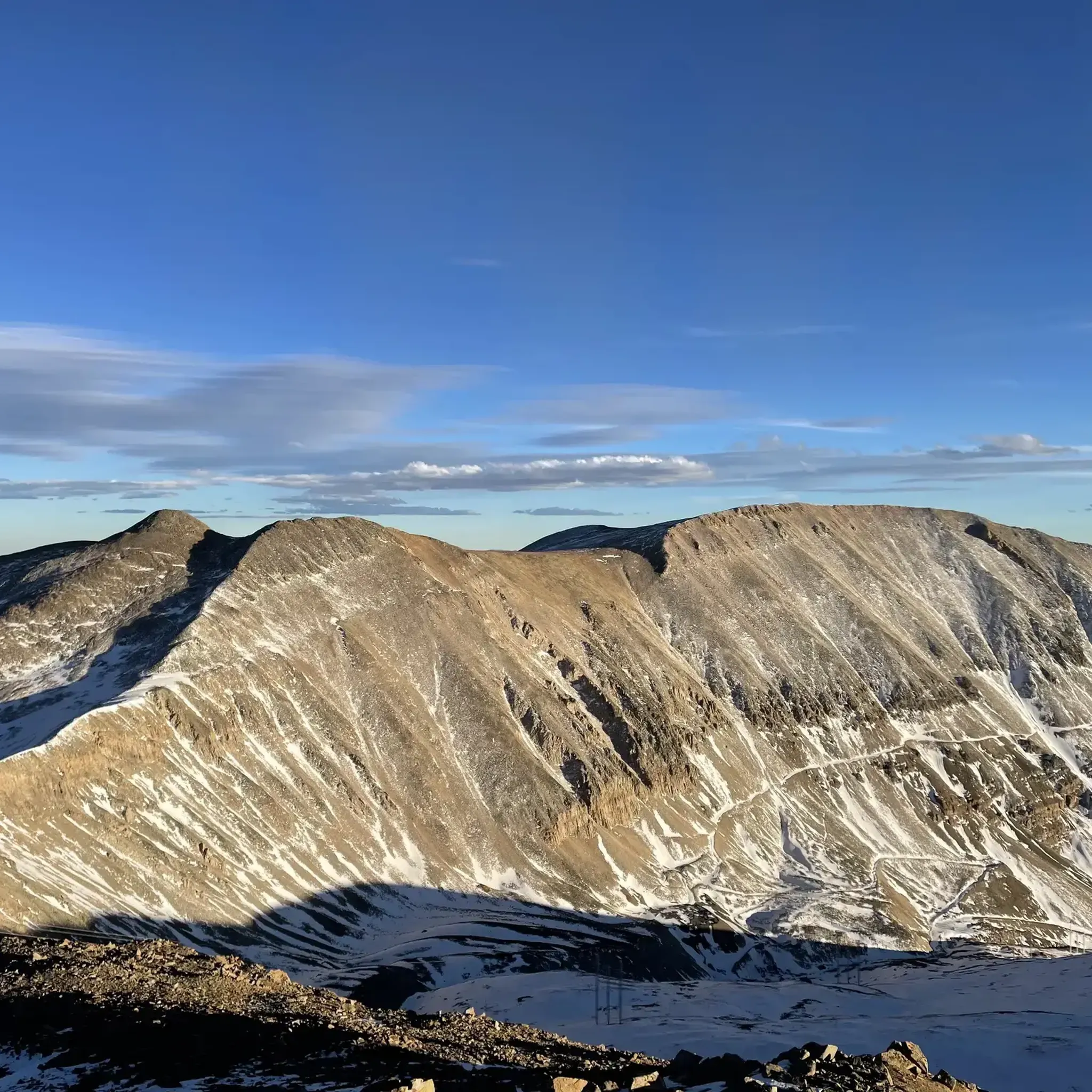
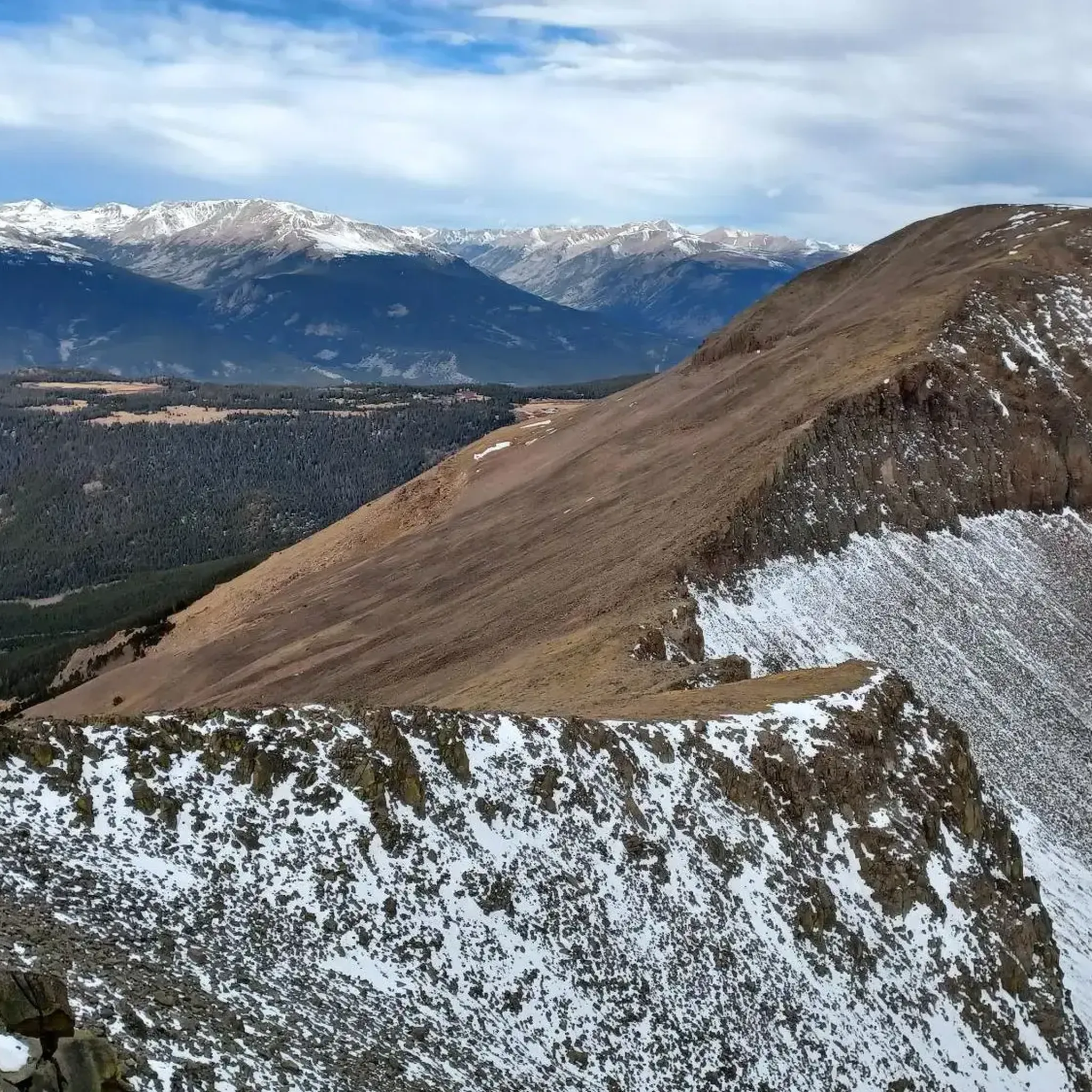
At an elevation of 12,027 feet, Kokomo Pass is one of two high mountain passes in the Colorado Trail: Segment 8. The other pass, Searle Pass, is a little less dramatic. It does not have as striking views as Kokomo, but it does still rise up to 12,034 feet. The section of trail between these two mountain passes is exposed alpine meadows with easy to follow singletrack etched into the landscape.

팁에 의해

하이킹 보기휴대폰으로 전송
저장

Searle Pass

하이라이트 • 산악 고개

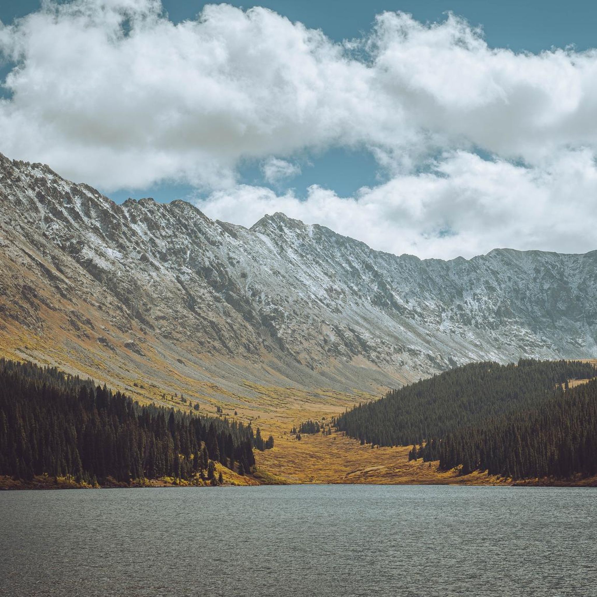
Searle Pass is one of two passes between Copper Mountain and Camp Hale on the Colorado Trail. This pass sits at 12,034 feet and is slightly taller than it's partner Kokomo Pass. The ridgeline gains and loses elevation slightly, but it is not as steep as the sections of trail climbing up and down from the passes.

팁에 의해

저장

이런 장소를 발견하려면 지금 가입하세요

최고의 싱글 트랙, 봉우리 및 다양한 흥미로운 야외 장소에 대한 추천을 받아보세요.

무료 회원 가입

Mount Bross

하이라이트 • 정상

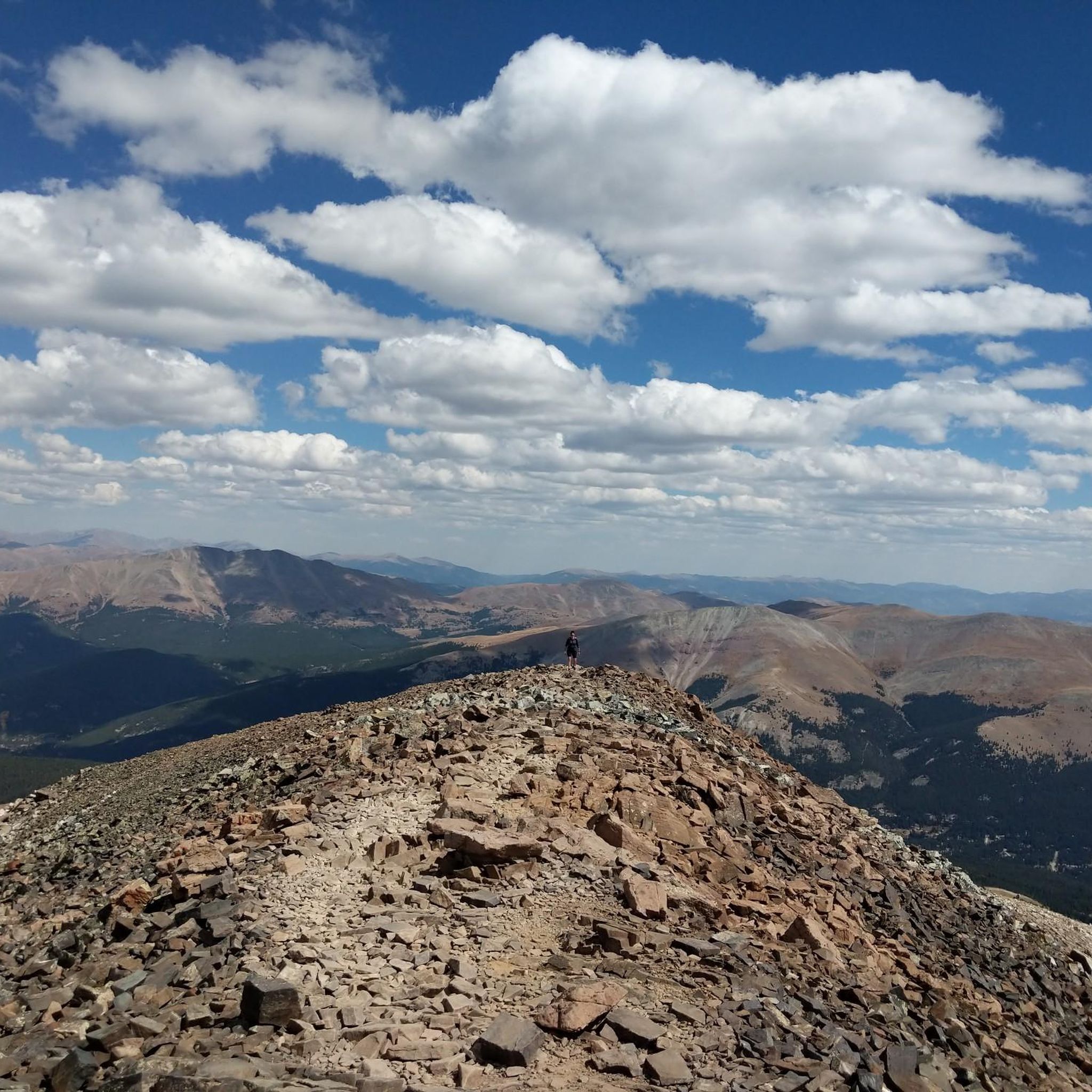
Mount Bross is a 14,178 foot mountain making up the final peak in the DeCaLiBron loop (when done clockwise). This mountain has lots of mines and mining claims associated with it, which leads to the private property issues often faced in the area.

The mountain is notorious for having limited and restricted access since the actual summit lies on private property. In fact, the entirety of the DeCaLiBron loop is sometimes restricted/closed to the public.

팁에 의해

저장

Mosquito Pass

하이라이트 • 산악 고개

Mosquito Pass (sandwiched between Mosquito Peak and Mount Evans "B") sits at 13,185 feet atop an old mining road. The pass separates the towns of Alma and Leadville and requires some real clearance and 4wd abilities to reach via car. The high mountain pass offers access to some of the nearby peaks and views of the Sawatch, Mosquito, and Tenmile Ranges.

팁에 의해

저장

Hoosier Pass

하이라이트 • 산악 고개

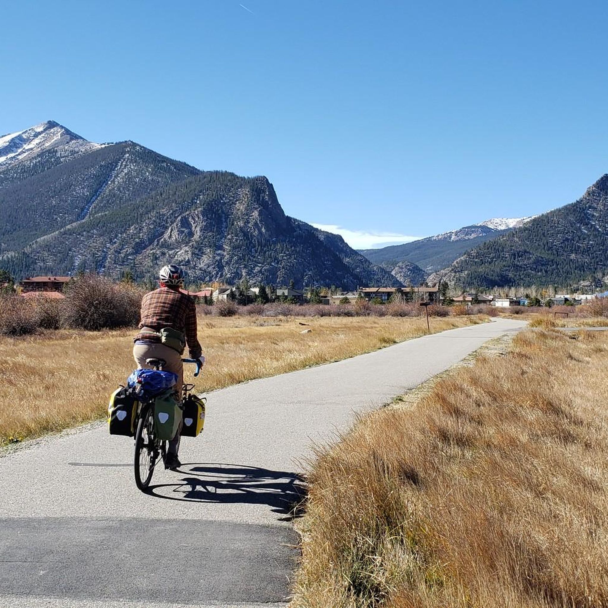
Hoosier Pass is a mice mountain climb to begin from Breckenridge. The road has a decent sized shoulder on the way up and you are rewarded with mountain views once you reach the switchbacks. In the winter they do a good job of clearing the roads, but there is quite a bit of sand.

팁에 의해

저장

콜로라도 트레일 능선 구간

하이라이트 (구간) • 트레일

The Colorado Trail goes up and over the Tenmile range when traveling from Breckenridge to Copper Ski Resort. It spends a brief moment on the ridge, itself, and offers expansive views of Friso, Copper Ski Resort, and the peaks sitting along Tenmile Ridge.

팁에 의해

저장

코튼우드 패스 오르기

하이라이트 (구간) • 등반

Climbing Cottonwood Pass westwards from Buena Vista is a journey to extreme altitudes on the Continental Divide. Prepare for approximately 20-25 miles where you'll gain over 4,100ft to reach the stunning 12,126ft paved summit. This notoriously steady climb averaging only around 3-4% with ramps around 6-8%. You'll enjoy beautiful scenery as you climb through extensive aspen groves which are spectacular in fall. The road over the pass is seasonally closed so be sure to check it's open before attempting this climb.

팁에 의해

저장

Gore Range Trail

하이라이트 (구간) • 트레일

The Gore Range Trail connects the counties of Eagle and Summit in the Eagles Nest Wilderness. The highpoint on the trail comes at Eccles Pass at 11,917 feet. Being above treeline, this alpine section of trail is rocky and slow going.

팁에 의해

저장

프리몬트 패스 정상

하이라이트 • 산악 고개

At 11,318 feet, Fremont Pass is the high point between Summit County and Leadville. The pass tops out at the entrance of the Climax Mine, which is the largest operating mine in the area. You get views of both the Tenmile Range and the Mosquitos from the top (on a clear day, you can even see some of the Sawatch peaks).

팁에 의해

저장
At 10,424 feet, Tennessee Pass is one of the high points between the cities of Leadville and Minturn. The pass separates Ski Copper (to the east) and a Colorado Trail trailhead (to the west). The trailhead has plenty of parking at restrooms while Ski Cooper offers uphill, downhill, backcountry, and cross country skiing options in the winter (along with other winter sports).

팁에 의해

저장

무료로 가입하여 고어 레인지의 더 많은 산악 고개를 발견하세요.

무료 회원 가입

이미 komoot 계정이 있나요?

오늘 무료 계정으로 시작하세요

다음 모험이 기다리고 있어요.

로그인 또는 가입하기

고어 레인지 주변 인기 장소

록키 산맥의 놀라운 10일 — 컬러라도 트레일

Colorado Trail — 야생 Colorado의 정점

컬러라도 주 살리다 주변의 마운틴 바이크 파라다이스

고어 레인지 하이킹

고어 레인지 로드 사이클링 경로

고어 레인지 MTB 트레일

고어 레인지 사이클링

고어 레인지 러닝 트레일

고어 레인지 그래블 라이딩

고어 레인지의 다른 모험

록키 산맥의 놀라운 10일 — 컬러라도 트레일

산악자전거 라이딩 컬렉션 에 의해

Joey

커뮤니티 팁

Paul_C
5월 2, 2025, Cottonwood Pass Climb

Climbing Cottonwood Pass westwards from Buena Vista is a journey to extreme altitudes on the Continental Divide. Prepare for approximately 20-25 miles where you'll gain over 4,100ft to reach the stunning 12,126ft paved summit. This notoriously steady climb averaging only around 3-4% with ramps around 6-8%. You'll enjoy beautiful scenery as you climb through extensive aspen groves which are spectacular in fall. The road over the pass is seasonally closed so be sure to check it's open before attempting this climb.

0

0

Alex
12월 27, 2023, Kokomo Pass

Kokomo Pass is a high pass at 12,027 feet above sea level. It has great views over the Gore Range of the Rocky Mountains. During the right season, bikers can catch beautiful wildflowers.

0

0

Christopher
11월 23, 2023, Hoosier Pass

Hoosier Pass is a mice mountain climb to begin from Breckenridge. The road has a decent sized shoulder on the way up and you are rewarded with mountain views once you reach the switchbacks. In the winter they do a good job of clearing the roads, but there is quite a bit of sand.

0

0

At 10,424 feet, Tennessee Pass is one of the high points between the cities of Leadville and Minturn. The pass separates Ski Cooper (to the east) and a Colorado Trail trailhead (to the west). The trailhead has plenty of parking at restrooms while Ski Cooper offers uphill, downhill, backcountry, and cross country skiing options in the winter (along with other winter sports).

0

0

Hoosier Pass sits on the Continental Divide at 11,542 feet in elevation and connects the towns of Alma & Breckenridge. It is also the highest point along the TransAmerica bike trail, a 4,200-mile route from Oregon to Virginia.

0

0

At 11,319 feet, Freemont Pass is one of the highest roads in Colorado. It connects the towns of Copper Mountain and Leadville.

0

0

At 11,318 feet, Fremont Pass is the high point between Summit County and Leadville. The pass tops out at the entrance of the Climax Mine, which is the largest operating mine in the area. You get views of both the Tenmile Range and the Mosquitos from the top (on a clear day, you can even see some of the Sawatch peaks).

0

0

The Colorado Trail goes up and over the Tenmile range when traveling from Breckenridge to Copper Ski Resort. It spends a brief moment on the ridge, itself, and offers expansive views of Friso, Copper Ski Resort, and the peaks sitting along Tenmile Ridge.

0

0

고어 레인지에서 가장 인기 있는 경로

고어 레인지 하이킹

고어 레인지에서 가장 인기 있는 명소

Places to see

Store rating

komoot 모바일 앱으로 영감을 받아보세요

무료 komoot 계정로 끝없는 야외 모험을 손쉽게 찾고, 맞춤 설정하며 길안내할 수 있어요.

또는

지금 komoot에 가입하세요
Store rating

근처 어드벤처 가이드

Red Cliff 즐길거리

background

새로운 정복을 위한 준비를 하세요

무료로 가입하기
탐험하기
경로경로 플래너기능바우처 사용하이킹MTB 트레일로드 사이클링 경로바이크패킹사이트맵
앱 다운로드
소셜 미디어에서 팔로우하기

© komoot GmbH

개인 정보 보호 정책