20의 고어 레인지가지 명소 & 주요 장소
고어 레인지에는 둘러볼 만한 장소가 많답니다. 하이킹 또는 사이클링을 좋아한다면 고어 레인지에 숨겨진 20
가지 보석을 만날 수 있을 거예요. 이 지역의 주요 명소를 살펴보면서 다음 모험을 계획해보세요.
마지막 업데이트: 8월 31, 2026


이런 장소를 발견하려면 지금 가입하세요
최고의 싱글 트랙, 봉우리 및 다양한 흥미로운 야외 장소에 대한 추천을 받아보세요.
무료 회원 가입
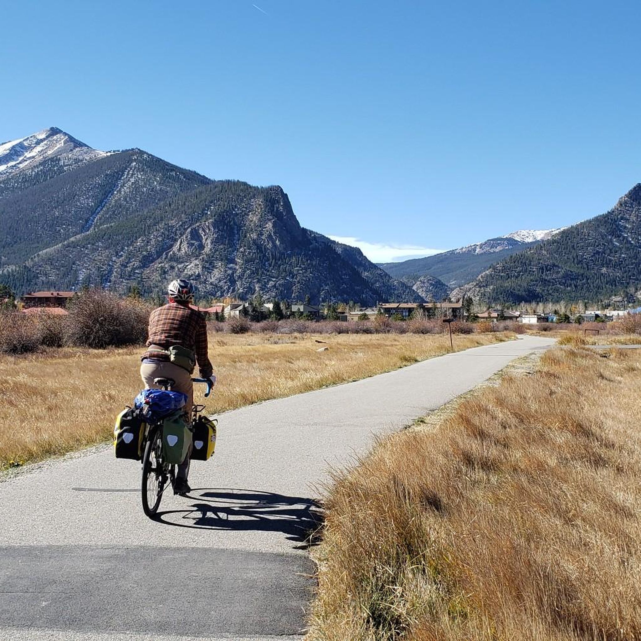
프리스코 습지 자전거길
하이라이트 (구간) • 자전거 도로
팁에 의해

딜런 댐 자전거 트레일의 습지
하이라이트 (구간) • 트레일
팁에 의해

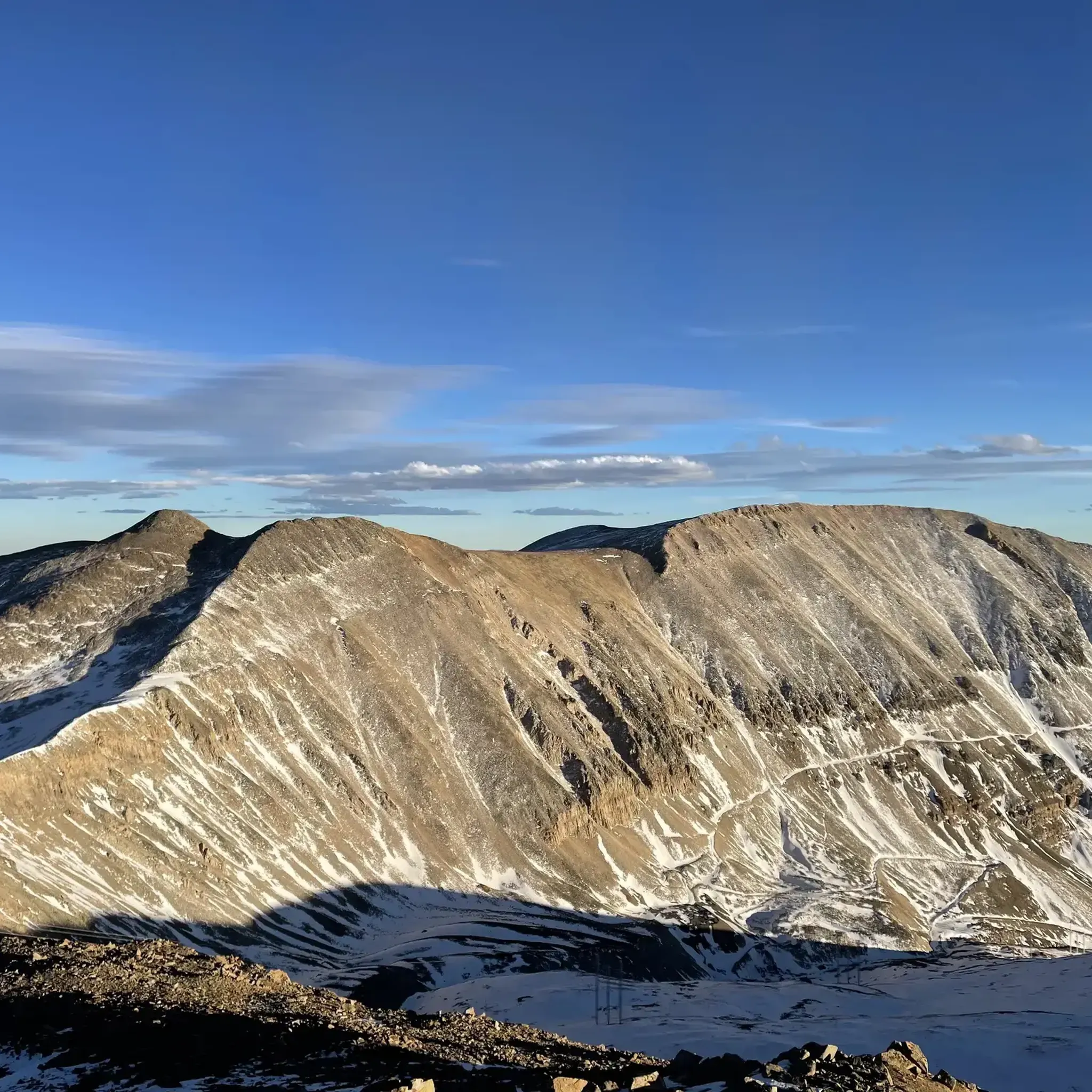
텐마일 산맥 그랜드 트래버스 종점
하이라이트 • 주차장
팁에 의해
Peaks Trail 트레일헤드
하이라이트 • 트레일
팁에 의해
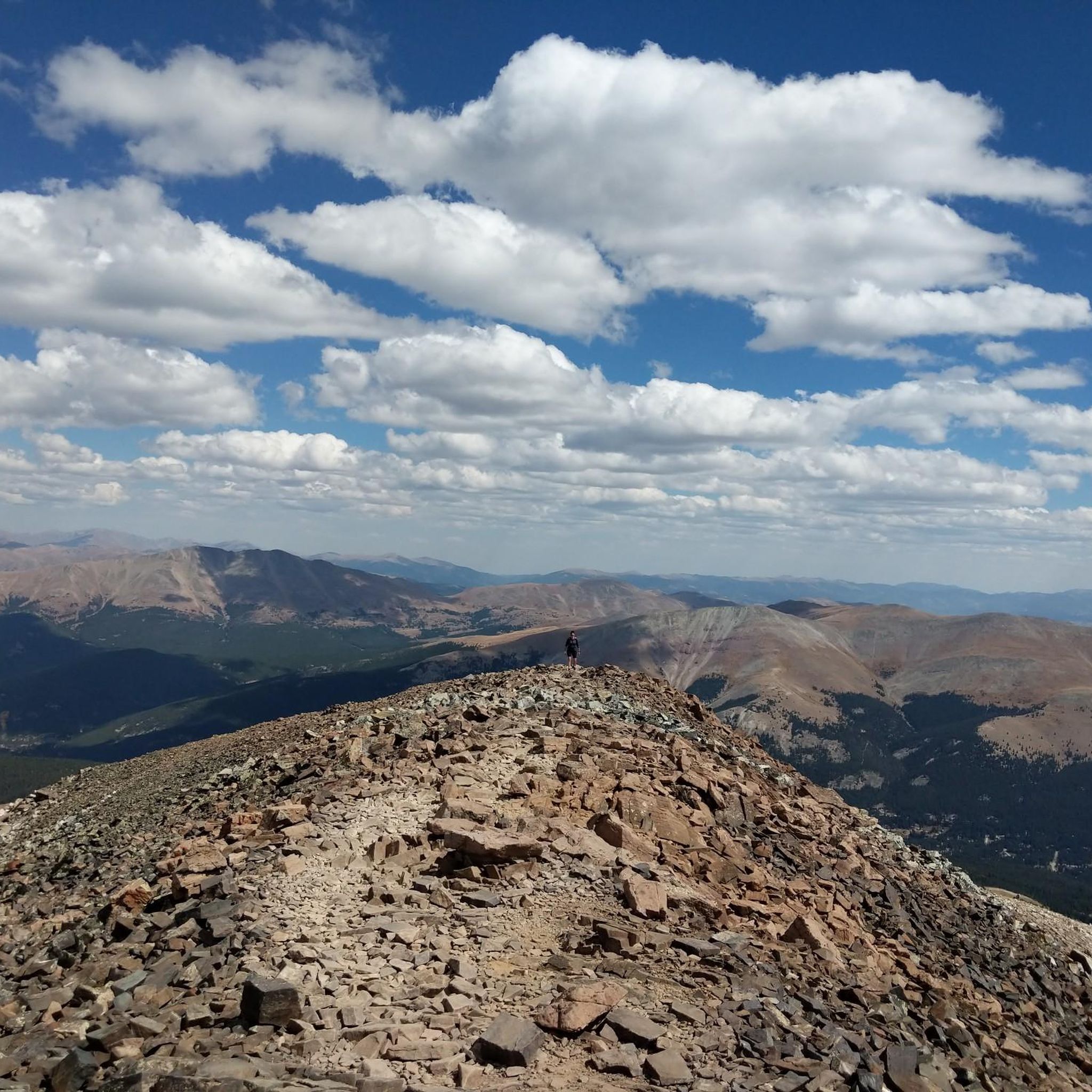
마운트 데모크랫 정상
하이라이트 • 정상
팁에 의해
Ophir Mountain 트레일 시스템
하이라이트 • 트레일
팁에 의해
무료로 가입하여 고어 레인지의 더 많은 명소를 발견하세요.
무료 회원 가입
이미 komoot 계정이 있나요?
오늘 무료 계정으로 시작하세요
다음 모험이 기다리고 있어요.
로그인 또는 가입하기





커뮤니티 팁

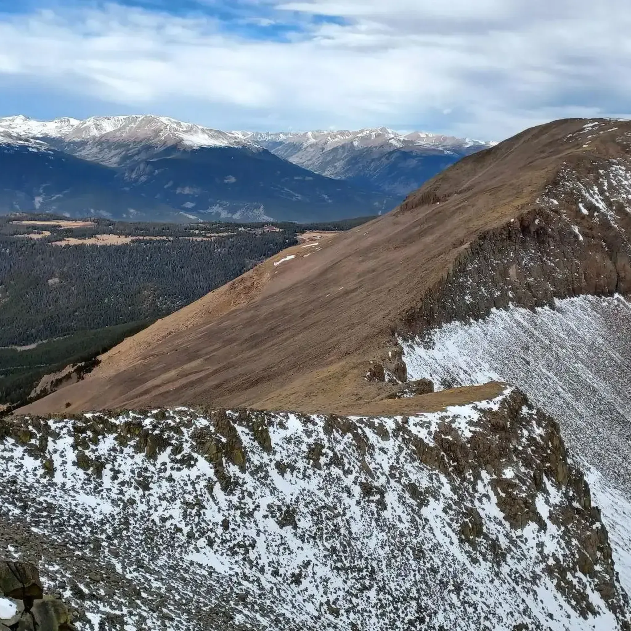
Of course, at 3102 m, Ophir Mountain isn't a "big" climb, but the trails to the summit are quite challenging...there's a network of hiking trails here that leads through "forest" and across forest regeneration meadows...we found a charming trail today!!! The mountain offers wonderful views from the summit...of the Dillon Reservoir, the surrounding mountains, several 14,000-meter peaks, and the Ten Mile Range. The loop is relatively short, but has a significant elevation change with very steep sections (both up and down). Today, significant areas are used by the Forest Service, initially to reduce the risk of wildfires, but later also to "regenerate the natural forest" (sometimes it looks like an uncontrolled forest landslide...the timber just stays there; cross-country? no chance!). Today, the rain finally caught up with us, but it could have been worse, considering the neighboring mountains...it's worth it!
0
0

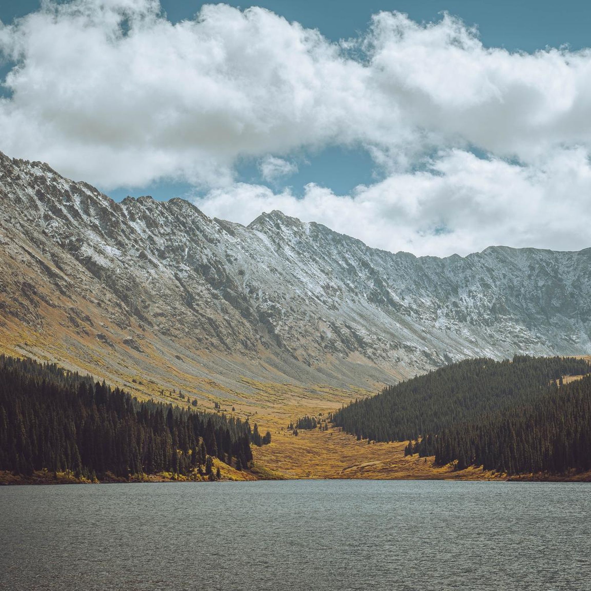
This is a scenic spot to look out over the reservoir. The dam itself was built in the early 1960s and required relocating the original town of Dillon, which is now sitting beneath the water. Today, the reservoir holds Denver’s largest water supply and sends it through a tunnel under the Continental Divide. Surrounded by mountain towns, Dillon Reservoir is a popular locale for boating, fishing, and summer concerts at the lakeside amphitheater.
0
0

Situated in a forest yet still providing open views of the lake and surrounding mountains, the Ophir Mountain Trail System is an intertwining set of trails in the Frisco area. The trails are not as popular as some of the other trails in the area (such as Peak Trail, Rainbow Lake, etc.) and provide a sense of nature just at the edge of town.
0
0
This is about half a mile past where the Overlook at Peak Nine (a restaurant located at the top of a ski lift at Breckenridge Resort) is located. It is a rough 2wd road up to the restaurant, and then the road continues while becoming a rougher 4wd road. You can leave a car at this spot or a little further up the road at several pull-offs before the road gets too bad to drive. This is also a good spot to have someone pick you up at the end of your run. The town of Breckenridge sits 4 miles beyond this point. There are bus stations and more parking down in town, but this adds quite a few more miles to the trek.
0
0
Traveling to the top of Peak Eight, the Imperial chair lift at Breckenridge Ski Resort is the highest chairlift in North America. It tops out at 12,840 feet, which is over 1,000 feet above treeline. The summit sees snow for much of the year, but it is an exposed talus field in the summer months.
0
0
A small alpine lake in a meadow, Lily Pad Lake is tucked away in the Eagles Nest Wilderness and sees much less traffic than the lake trails in downtown Silverthorne and Frisco. This lake can be accessed via several different wilderness trails. When it's warm enough outside, you can actually swim in the lake, so dress appropriately!
0
0
The Peaks Trail is a heavily used trail that travels from Frisco to Breckenridge (or vice versa). The trail is well-marked, full of wildlife, and is bookended by two large parking lots. You can connect the Peak Trail to other trails in the area to create different loops and routes. This is also a popular mountain biking trail, so be aware of other trail users.
0
0
Matchless Mine is actually owned and operated by the Leadville National Mining Hall of Fame and Museum. You can pay to take self-guided tours and learn more about the mining history of Leadville and other small Colorado mountain towns. You can see some of the mining infrastructure from the Mineral Belt Trail, and there are many other mining ruins along the eastern part of the Mineral Belt Trail loop.
1
0
고어 레인지에서 가장 인기 있는 명소


더 살펴보기
찾고 있는 하이라이트를 아직 못 찾으셨나요? 다른 지역의 주요 명소 가이드를 확인해보세요:
