테르노이젠에서 가장 멋진 20개의 천연기념물
천연기념물을 방문하여 테르노이젠의 아름다운 풍경을 만나보세요. 테르노이젠에 있는 20
개의 천연기념물과 상세 정보를 살펴본 후에 방문하고 싶은 천연기념물을 다음 모험 계획에 추가해보세요!
마지막 업데이트: 10월 23, 2026
스트로퍼스보스의 스페인 방어선
하이라이트 • 역사적 장소
번역자 Google •
팁에 의해

신트 야코프스폴더 자연보호구역
하이라이트 • 자연
번역자 Google •
팁에 의해

이런 장소를 발견하려면 지금 가입하세요
최고의 싱글 트랙, 봉우리 및 다양한 흥미로운 야외 장소에 대한 추천을 받아보세요.
Fort Sint-Jacob 및 Staats-Spaanse Linies
하이라이트 • 역사적 장소
번역자 Google •
팁에 의해





커뮤니티 팁

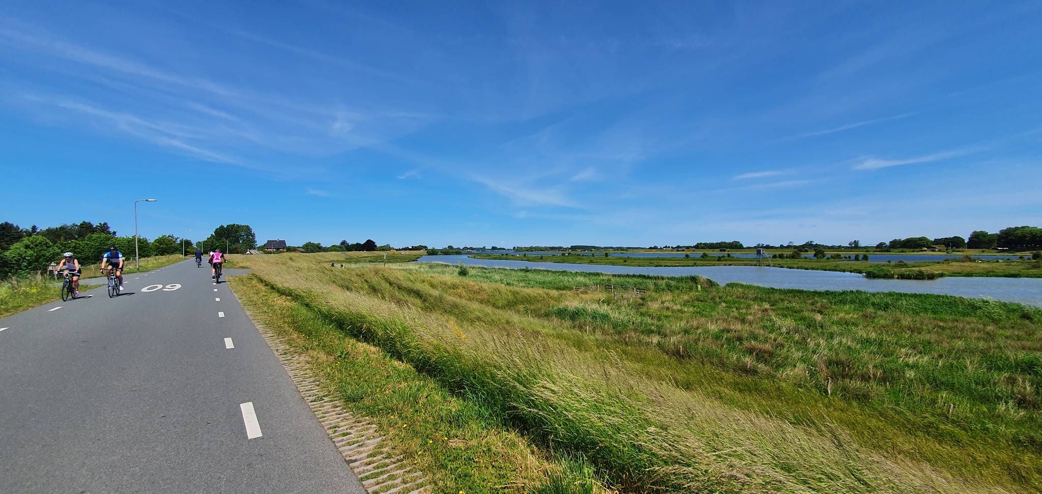
2007년에 이곳에 새로운 자연 및 번식지가 조성되었습니다. 이는 웨스터 스헬더 수심 증대로 인한 자연 손실에 대한 보상 역할을 합니다.
0
0

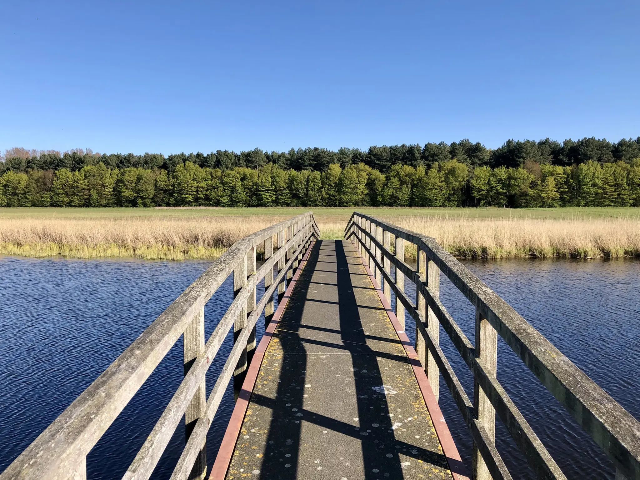
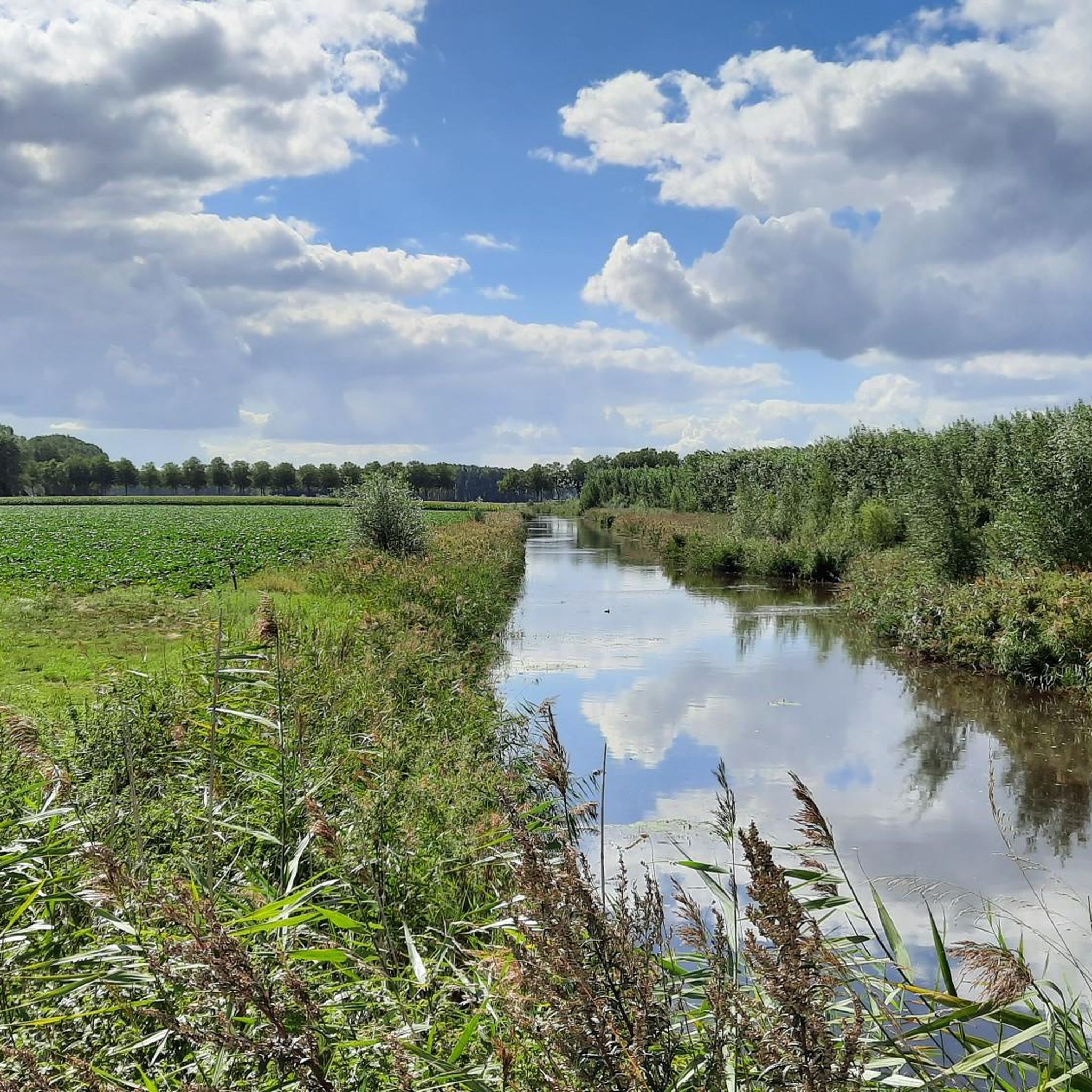
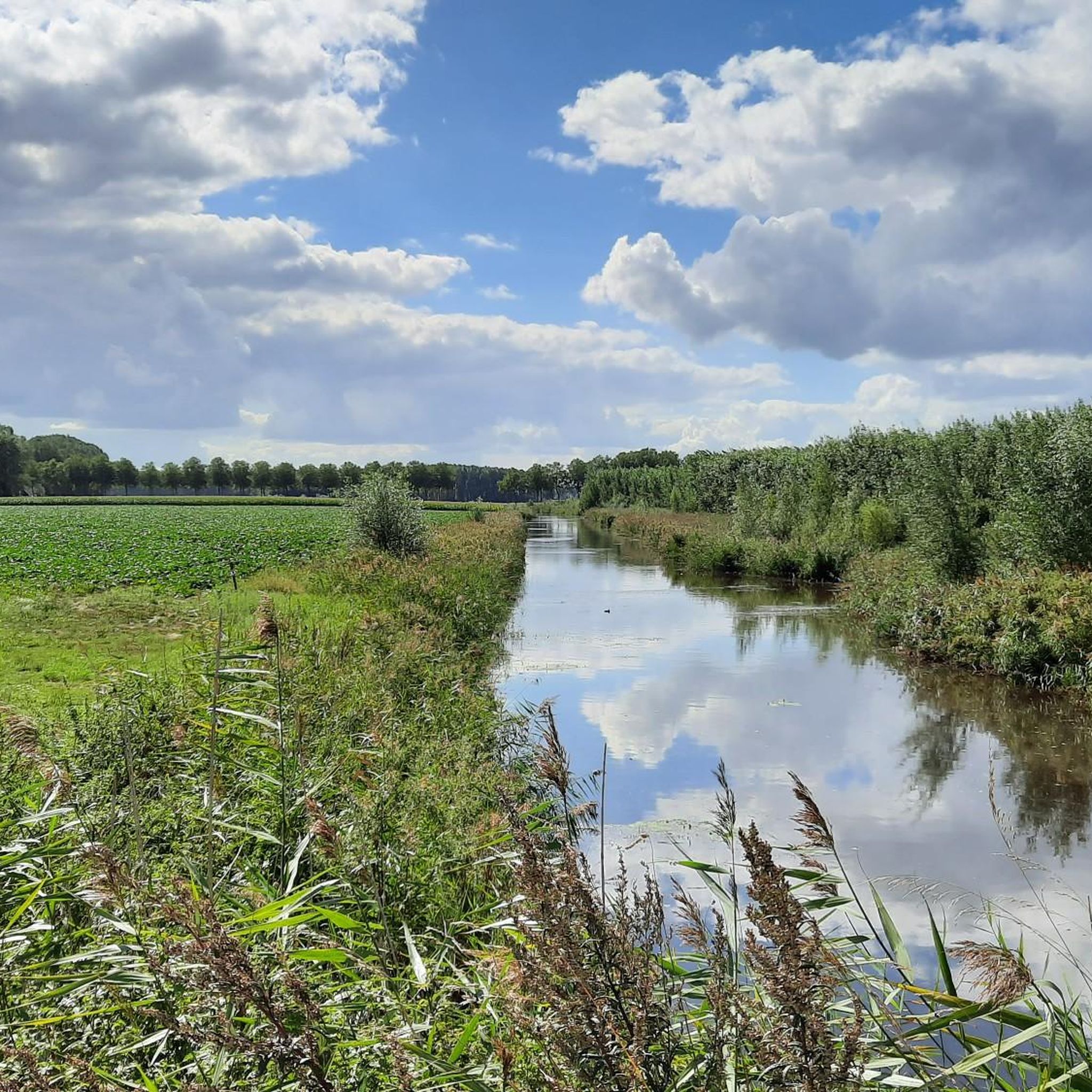
살레험 개울 지역은 그 부분들의 합 이상입니다. 이 자연 지역은 한편으로는 그로테 살레험게울로, 다른 한편으로는 신트-야코브스가트와 킬드레흐트세 바터강으로 이루어져 있습니다. 이 세 개의 개울은 킬드레흐트의 그로테 게울로 흘러 들어갑니다. 각각 따로도 아름답습니다. 하지만 함께하면 마법 같습니다. 부드럽게 경사진 강둑, 초원과 건초, 희귀한 새와 화려한 꽃, 찰랑이는 갈대와 우울한 버드나무가 이어지는 풍경은 사람을 말문이 막히게 합니다. 자연의 마법에 대한 경외감을 불러일으킵니다. 그리고 휠체어 사용자도 즐길 수 있습니다. 왜냐하면 개울 호수 주변에는 특별한 휠체어 산책로가 있기 때문입니다. 와스란드닷비에 따르면... 그리고 그에 반박할 여지가 없습니다.
2
0

멋진 조류 서식지. 다양한 종류의 물새와 도요새를 볼 수 있습니다.
0
0

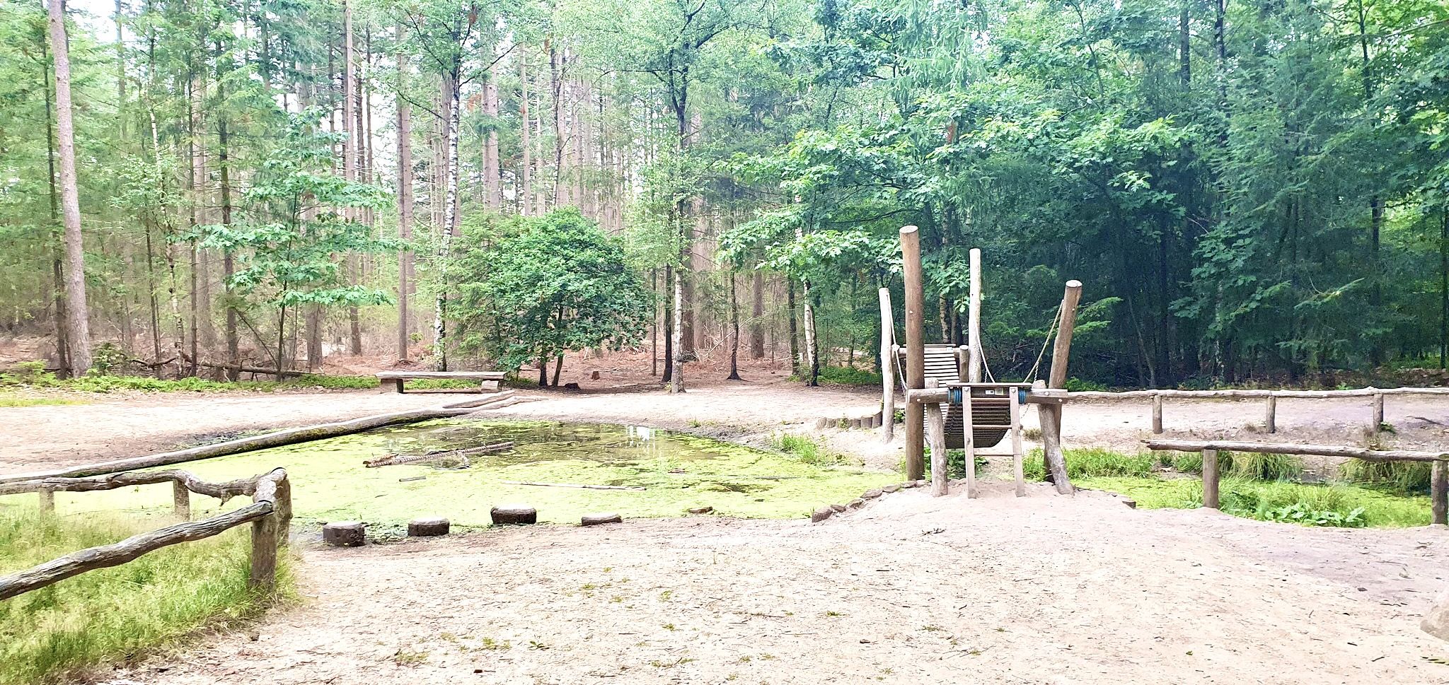
이 높아진 자갈길을 따라 Fort Sint-Jacob의 특별한 과거와 자연을 발견해 보세요. 이 역사적인 요새는 인상적인 Staats-Spaanse Linies의 일부이며, Hulst와 Sas van Gent 사이의 통신선 일부로서 Fort Sint-Joseph와 Fort Sint-Livinus 사이에 전략적으로 위치했습니다. 이곳에서는 1634년 후방 지역을 침략으로부터 보호하기 위해 요새가 건설되었던 80년 전쟁의 흔적을 여전히 느낄 수 있습니다. 불과 몇 년 후 다른 세력의 손에 넘어갔다는 사실은 이 장소의 이야기를 더욱 흥미롭게 만듭니다. 과거 Fort Sint-Jacob는 견고한 흙벽과 보호용 해자로 둘러싸인 작고 정사각형의 보루였습니다. 오늘날에도 이러한 윤곽은 풍경 속에서 뚜렷하게 보이며, 방문객들은 말 그대로 역사를 따라 걸을 수 있습니다. 재건된 안뜰과 새로운 도개교를 포함한 세심한 복원 덕분에 요새는 다시 생기를 되찾았습니다. 동시에 이곳의 자연은 자유롭게 번성할 수 있게 되었습니다. 이 지역은 Staatsbosbeheer에서 관리하며 평화로운 자연 보호 구역으로 발전했습니다. 역사에 관심이 있든, 걷거나 자전거 타기를 즐기든, 아니면 잠시 번잡함에서 벗어나고 싶든: Fort Sint-Jacob는 여러분을 와서 보고, 발견하고, 즐기도록 초대합니다.
6
0

single track that requires concentration
0
1

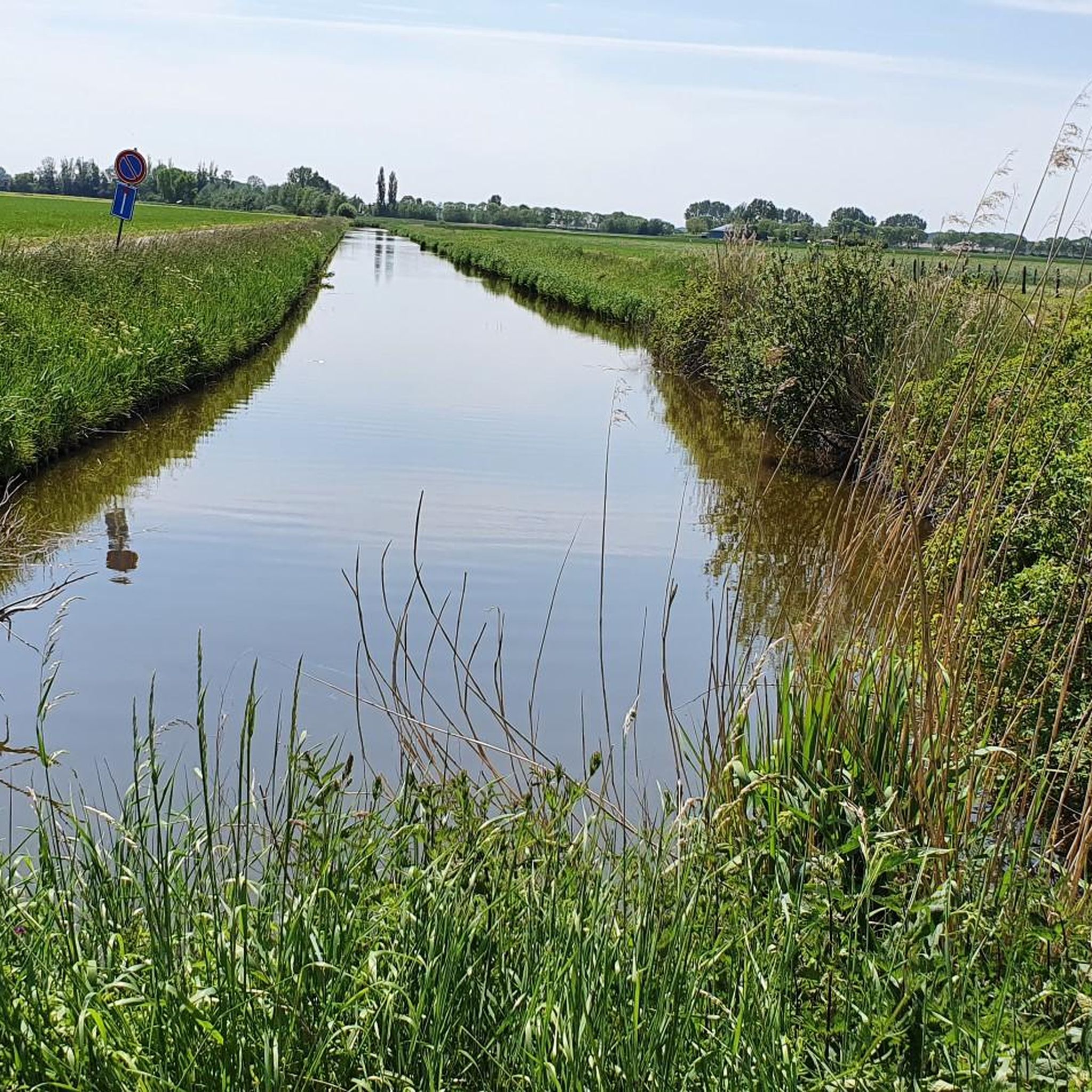
This creek connects to the Boerekreek to the west and to the Oudemanskreek to the east. It contains brackish water. The creek lies directly north of the Leopold Canal. Due to silting, the creek could no longer drain, which caused problems for agriculture. Therefore, around 2000, the drainage to the Leopold Canal on the east side was improved, the creek was also dredged, and the banks were reinstated to the nature reserve. (Wikipedia)
7
0

On the southern edge of Zuid-Beveland, near Baarland, a new nature reserve was created in 2007. This was done to compensate for the nature that is being lost due to the deepening of the Western Scheldt. The deepening increases the current and the nature outside the dike on the Western Scheldt is crumbling. The two most important goals in the creation of this area were to provide a high-water refuge for wading birds and a breeding area for coastal breeding birds. The area is used extensively by coastal breeding birds. Birds such as ringed plovers, ringed plovers and avocets are extensively searching for worms, crustaceans and cockles. In the spring of 2009, the nests were counted and it turned out that more than 110 pairs of avocets were breeding. The young are currently leaving the nest. Wherever you look, you can see this beautiful creature wading through the area. The ranger also counted a small colony of breeding black-headed gulls, a few Kentish plovers, a few little ringed plovers and three pairs of ringed plovers. You can take a look at this nursery. The area is right next to the Scheldeoord campsite in the south of Baarland. You can look out over the area from the Zeedijk. This area falls under Natura 2000
0
0
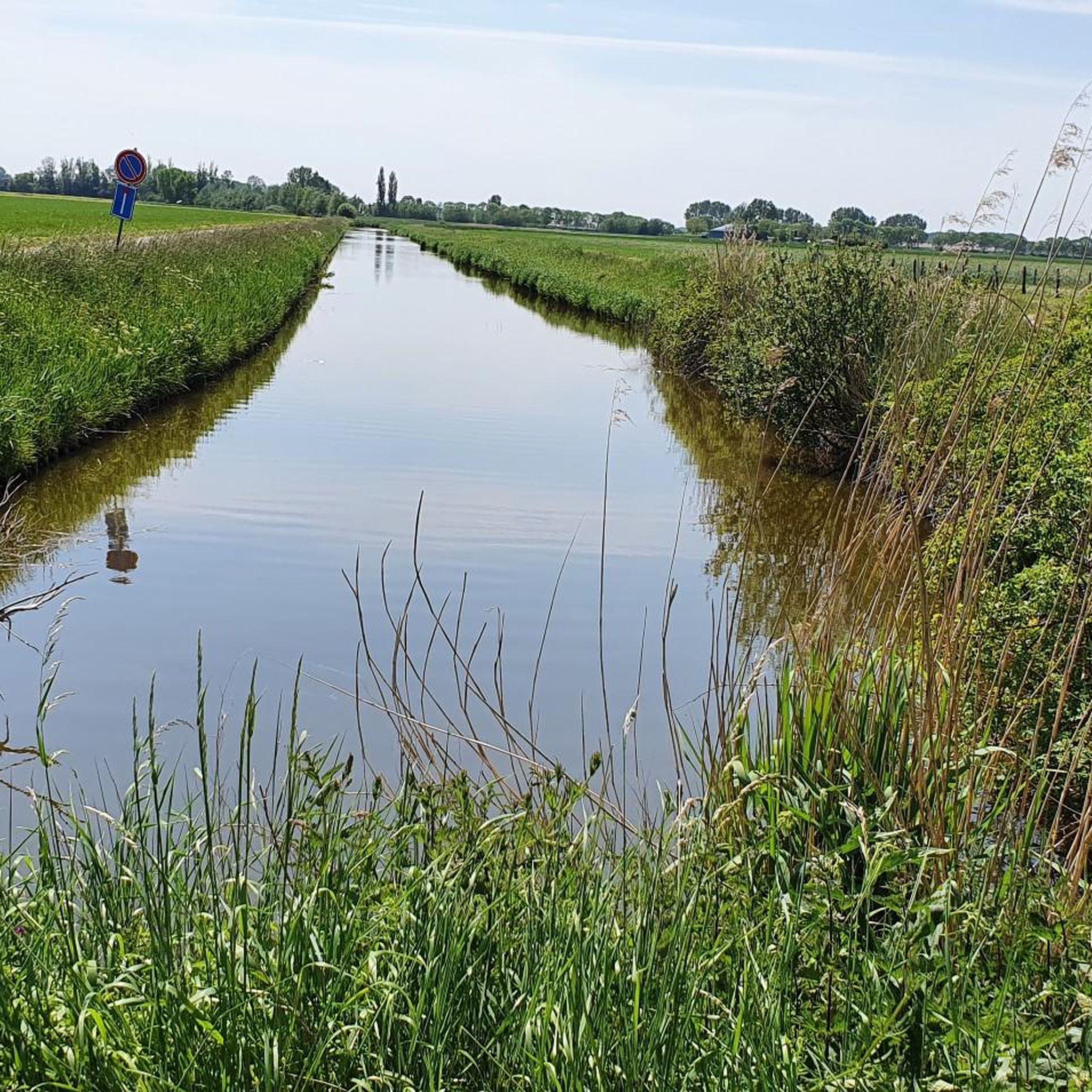
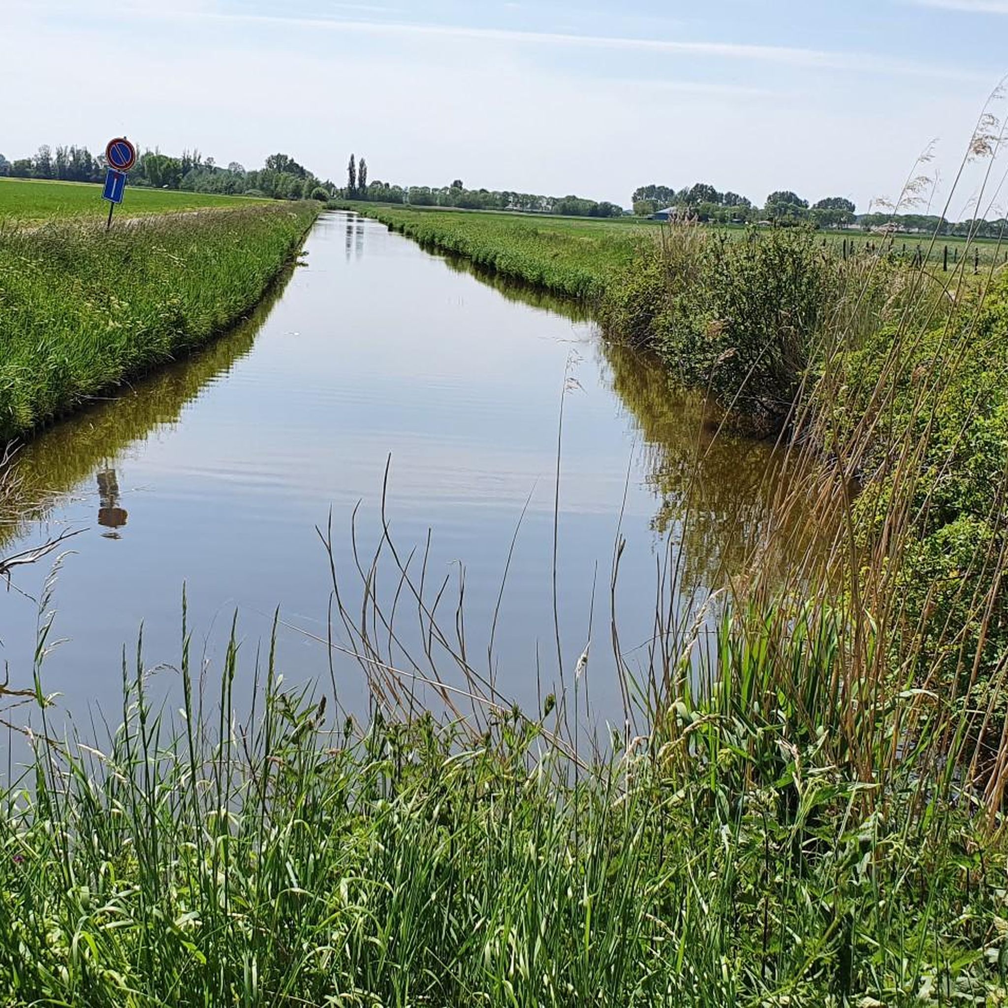
Creek, located next to the elevated roadway to Sint-Jan-in-Eremo. Creek contains brackish water. A creek where the eel feels at home.
8
0
테르노이젠 주변에서 가장 인기 있는 명소


더 살펴보기
테르노이젠 주변의 최고의 동굴을 찾기 위해 이 가이드를 확인해보세요:
