올덴잘에서 가장 멋진 20개의 천연기념물
천연기념물을 방문하여 올덴잘의 아름다운 풍경을 만나보세요. 올덴잘에 있는 20
개의 천연기념물과 상세 정보를 살펴본 후에 방문하고 싶은 천연기념물을 다음 모험 계획에 추가해보세요!
마지막 업데이트: 10월 10, 2026
루터잔트의 딩켈강 해변
하이라이트 • 해변
번역자 Google •
팁에 의해

길데하우스 지질 야외 박물관
하이라이트 • 기념물
번역자 Google •
팁에 의해

이런 장소를 발견하려면 지금 가입하세요
최고의 싱글 트랙, 봉우리 및 다양한 흥미로운 야외 장소에 대한 추천을 받아보세요.
탱크베르크의 에게리아 찻집
하이라이트 • 전망대
번역자 Google •
팁에 의해

루터잔트의 딘켈 강 굽이
하이라이트 • 강
번역자 Google •
팁에 의해

쿠이퍼베르흐 전망대
하이라이트 • 전망대
The old stone ANWB orientation point helps with this.
Huge stone benches invite you …
번역자 Google •
팁에 의해

무료로 가입하여 올덴잘 주변의 더 많은 자연 기념물을 발견하세요.
이미 komoot 계정이 있나요?





커뮤니티 팁

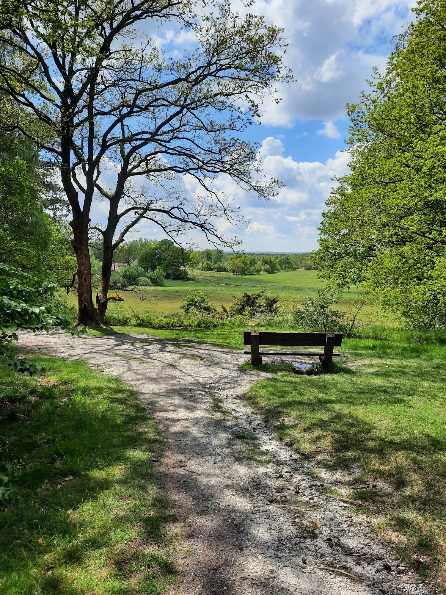
At the top of Tankenberg is a small chapel. From there, you can enjoy a sublime view of the valley, which is rather unusual for the Netherlands.
2
0

"Het Lutterzand" is a nature reserve of approximately 750 hectares in the province of Overijssel, on the German-Dutch border near the county of Bentheim. The diverse landscape, consisting of pine forests, juniper thickets, and heathland, is largely surrounded by the Dinkel River. The Dinkel River has retained its original character, and its meandering course has carved deep cuts into the drifting sand over time. The "Het Lutterzand" nature reserve, which boasts an excellent restaurant, is a popular excursion and recreation area. Beautiful hiking and cycling trails lead through this charming landscape.
2
0


Lutterzand - always beautiful. Whether by bike or on foot, it doesn't matter. The Dinkel meandering through the landscape is simply wonderful. The Lutte Hut invites you to have a coffee or a snack.
1
0

Stone Kingdom The geological open-air museum in Gildehaus is a great destination for cyclists and hikers. Here, 50 exhibits in 16 different types of rock can be seen in the open air. The location, close to the only still active quarry for Bentheim sandstone, offers the opportunity to take a look inside as well.
4
0

The Kuiperberg is part of the moraine that extends from Ootmarsum to Uelsen in Germany. Other hills of this moraine are the Braamberg (76 m) and further north the Overijsselse Galgenberg (68 m). The highest point is the Poascheberg (Paasberg) (89 m), located just across the border, not to be confused with the Paasberg (80 m) on the moraine of Oldenzaal.
2
0
DeKuiperberg (Low Saxon: Kupersbearg) is a 71 meter (according to the National Triangle Measurement) high hill in the Twente municipality of Dinkelland in the Dutch province of Overijssel. The top of the Kuiperberg is located just west of Ootmarsum.
0
0

The nature park is located directly on the A30 motorway and can therefore be reached quickly and easily from Enschede and the German border region. As soon as you leave the motorway, you notice how the world becomes a little quieter and less fast-paced. Super simple signs lead you along small streets, past meadows and fields, and finally to the Lutterzand Nature Park.
3
0
올덴잘 주변에서 가장 인기 있는 명소


더 살펴보기
올덴잘 주변의 최고의 동굴을 찾기 위해 이 가이드를 확인해보세요:
