무르토사에서 가장 멋진 7개의 천연기념물
천연기념물을 방문하여 무르토사의 아름다운 풍경을 만나보세요. 무르토사에 있는 7
개의 천연기념물과 상세 정보를 살펴본 후에 방문하고 싶은 천연기념물을 다음 모험 계획에 추가해보세요!
마지막 업데이트: 9월 12, 2026
오바르 운하 🌊 아베이루 석호
하이라이트 • 호수
번역자 Google •
팁에 의해

리아 데 아베이루 - 미라 운하
하이라이트 • 강
번역자 Google •
팁에 의해

이런 장소를 발견하려면 지금 가입하세요
최고의 싱글 트랙, 봉우리 및 다양한 흥미로운 야외 장소에 대한 추천을 받아보세요.
소금밭 전망, Rua do Sal
하이라이트 • 전망대
번역자 Google •
팁에 의해

리아 드 아베이루의 모래언덕을 가로지르는 보드워크
하이라이트 • 트레일
번역자 Google •
팁에 의해

안내소 - 상자신투 자연보호구역
하이라이트 • 휴식 공간
팁에 의해
무료로 가입하여 무르토사 주변의 더 많은 자연 기념물을 발견하세요.
이미 komoot 계정이 있나요?
오늘 무료 계정으로 시작하세요
다음 모험이 기다리고 있어요.


커뮤니티 팁

Salt mining in the Aveiro region dates back to a time before the Ria de Aveiro itself existed, with the first written document about Aveiro salt production dating back to before the founding of the nation. Over the centuries, the instability of the inlet (isolation from the sea) was a decisive factor in the variation in the number and production of salt pans. This resulted in periods of decline interspersed with periods of great favorability for production. This occurred in 1572, when, given the favorable condition of the inlet and the high and progressive commercial and maritime index, Aveiro became one of the best ports in Portugal, with a significant increase in salt trade and cod fishing. In 1808, the new inlet (an artificial system that allows seawater to enter) was finally opened, a fact of exceptional importance for the future of Aveiro and the entire region. (Source: Wikipedia) (Source: Wikipedia)⁶
14
0

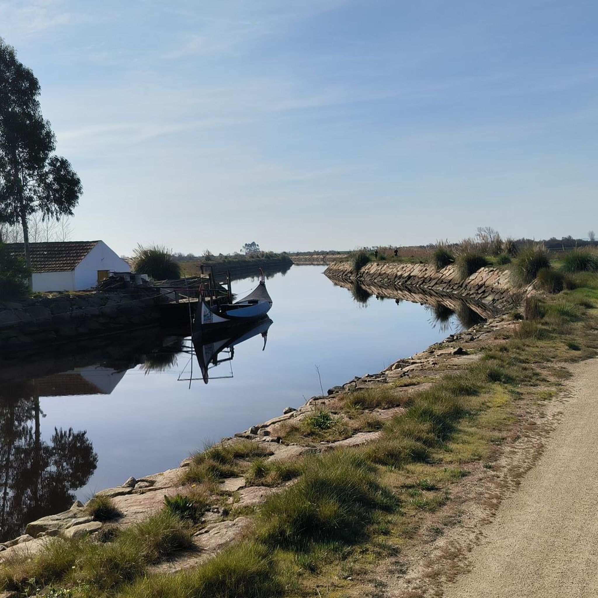
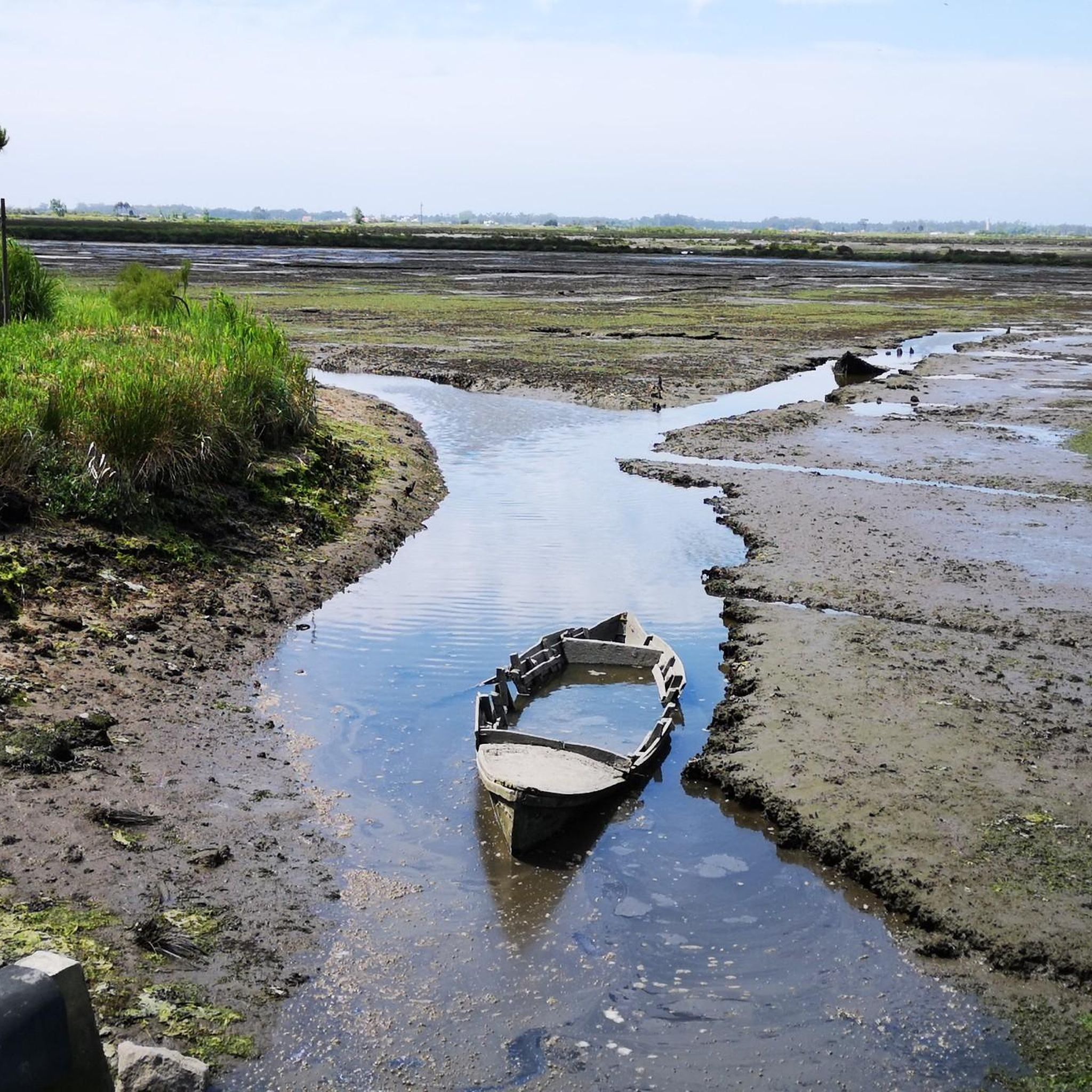
The Ria de Aveiro (also known as Foz do Vouga) is a shallow coastal lagoon in the Aveiro region, extending for 45 kilometers. It covers two districts and several locations, including Aveiro, Ílhavo and Mira. It is divided into three main channels, one of which is the Canal de Mira, location of the bridge in question.
0
0

The path leads over the dunes along the sea and is primarily intended to protect the vegetation there.
4
1

A boardwalk through the dunes
4
1

Trailhead with info, restrooms, picnic tables. The trails into the reserve are not mean for bikes, and standard tires would have difficulties on the sandy soft sections. Note the resident mosquito population can be fierce due to the nearby wet areas.
1
0
The bridge crosses the beautiful long extension of the coastal lagoon, stretching along the Lagoon from Aveiro to Vagueira
1
0
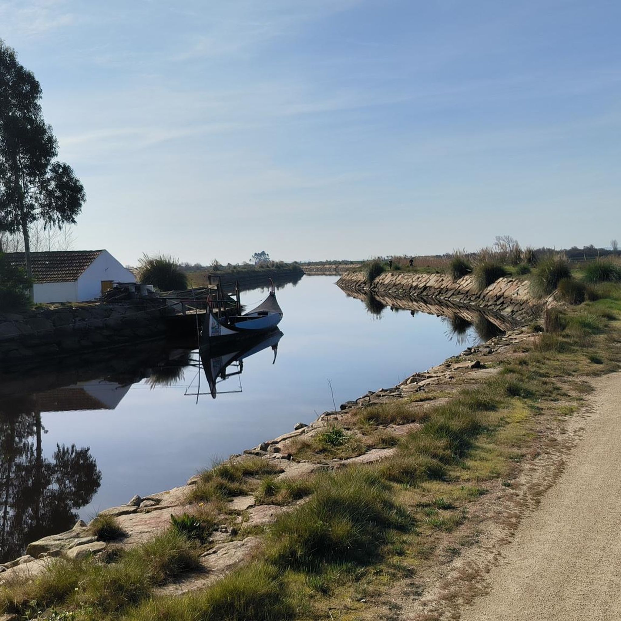
The Canal de Ovar, also known as Ria de Ovar, is the northern section of the Ria de Aveiro, between São Jacinto and Ovar, in the district of Aveiro. The shallow coastal lagoon, about 25 kilometers long, is the largest of the three main channels of the Ria (Ovar, Ílhavo and Mira) understood as a unique space in the context of Portugal and Europe, given the environmental and landscape qualities of high scientific value, with conditions for the practice of bird watching and other activities, such as rowing, sailing, canoeing, stand up paddle or simple boat or moliceiro trips. The Ria de Aveiro has been the target of a silting intervention since 2019, with the aim of strengthening the margins in low areas threatened by the advance of water, to protect people and goods and to restore the supply of sediment to the coast, and complementarily, contribute to the improvement of navigation conditions in the estuary and accessibility to some of the quays, which are quite silted, as well as to maintain an ecological flow, in order to preserve ecosystems
2
0
무르토사 주변에서 가장 인기 있는 명소


더 살펴보기
무르토사 주변의 최고의 동굴을 찾기 위해 이 가이드를 확인해보세요:
