오레이라에서 가장 멋진 11개의 천연기념물
천연기념물을 방문하여 오레이라의 아름다운 풍경을 만나보세요. 오레이라에 있는 11
개의 천연기념물과 상세 정보를 살펴본 후에 방문하고 싶은 천연기념물을 다음 모험 계획에 추가해보세요!
마지막 업데이트: 8월 29, 2026
Roc de la Foradada
하이라이트 • 자연 기념물
번역문 보기
팁에 의해


이런 장소를 발견하려면 지금 가입하세요
최고의 싱글 트랙, 봉우리 및 다양한 흥미로운 야외 장소에 대한 추천을 받아보세요.
무료 회원 가입
Refuge d'Oller
하이라이트 • 산장
번역자 Google •
팁에 의해

테트 강의 닉포인트
하이라이트 • 자연 기념물
번역자 Google •
팁에 의해

튀에 레 뱅 자연 온천
하이라이트 • 자연 기념물
번역자 Google •
팁에 의해

무료로 가입하여 오레이라 주변의 더 많은 자연 기념물을 발견하세요.
무료 회원 가입
이미 komoot 계정이 있나요?
오늘 무료 계정으로 시작하세요
다음 모험이 기다리고 있어요.
로그인 또는 가입하기
커뮤니티 팁

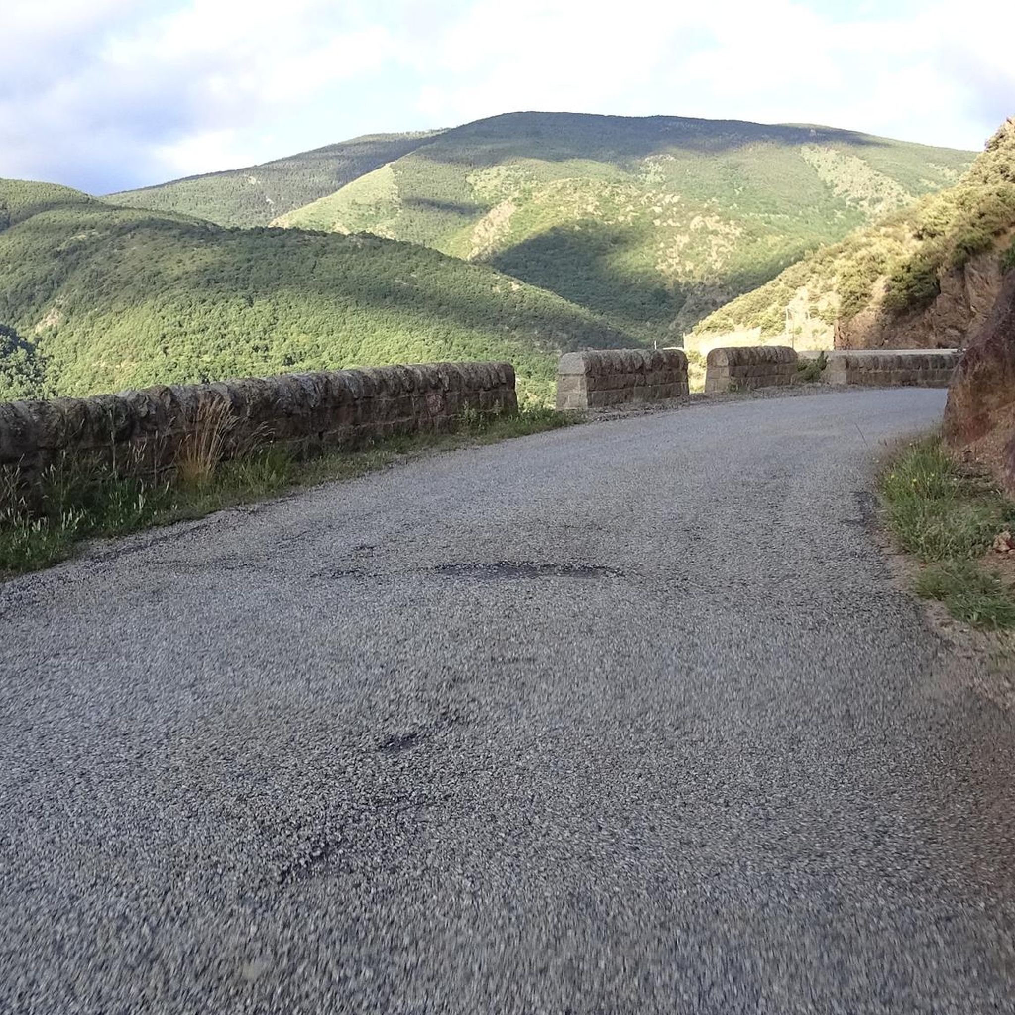
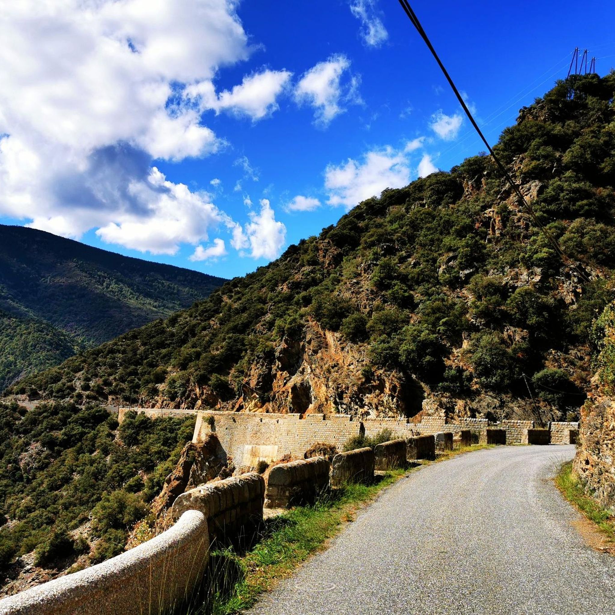
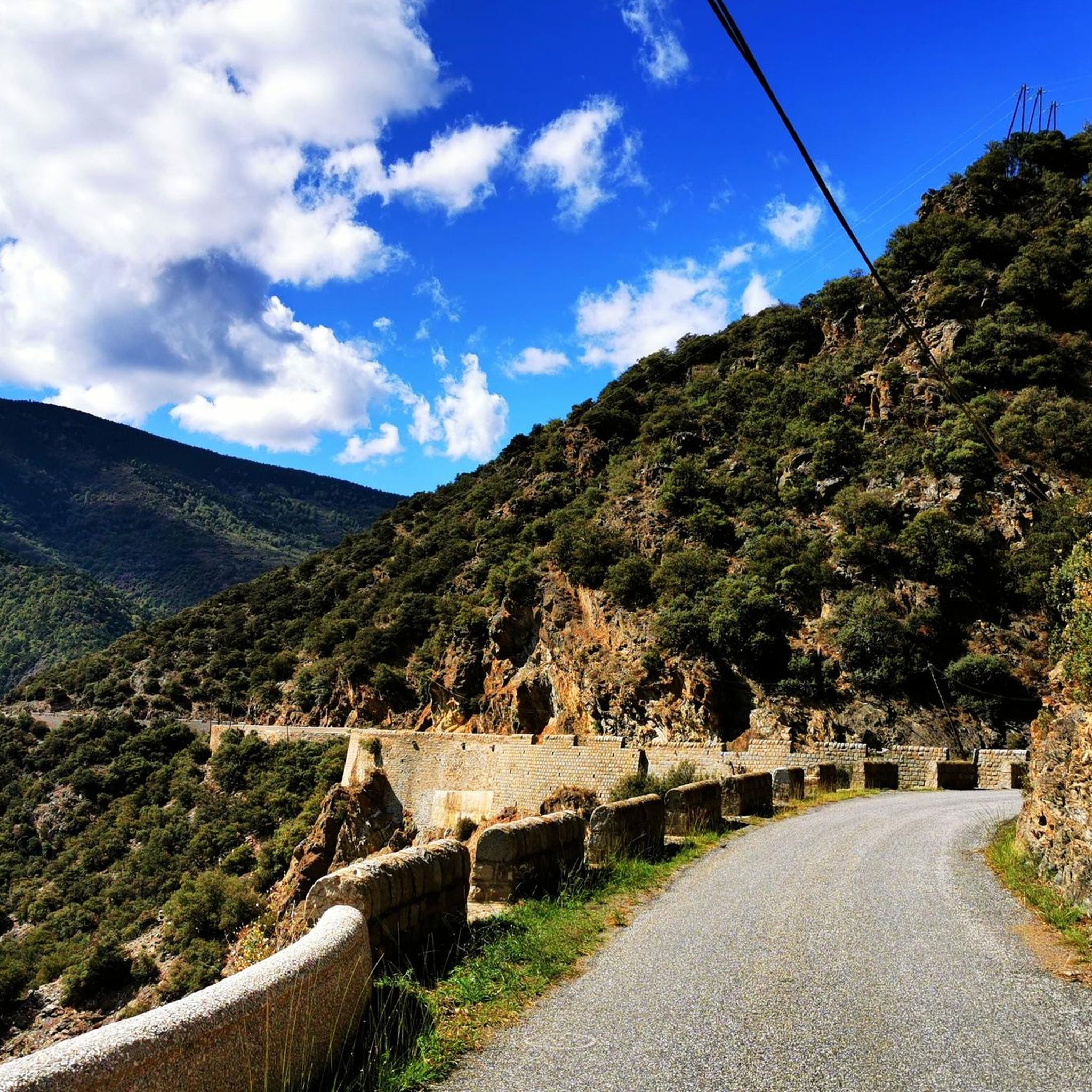
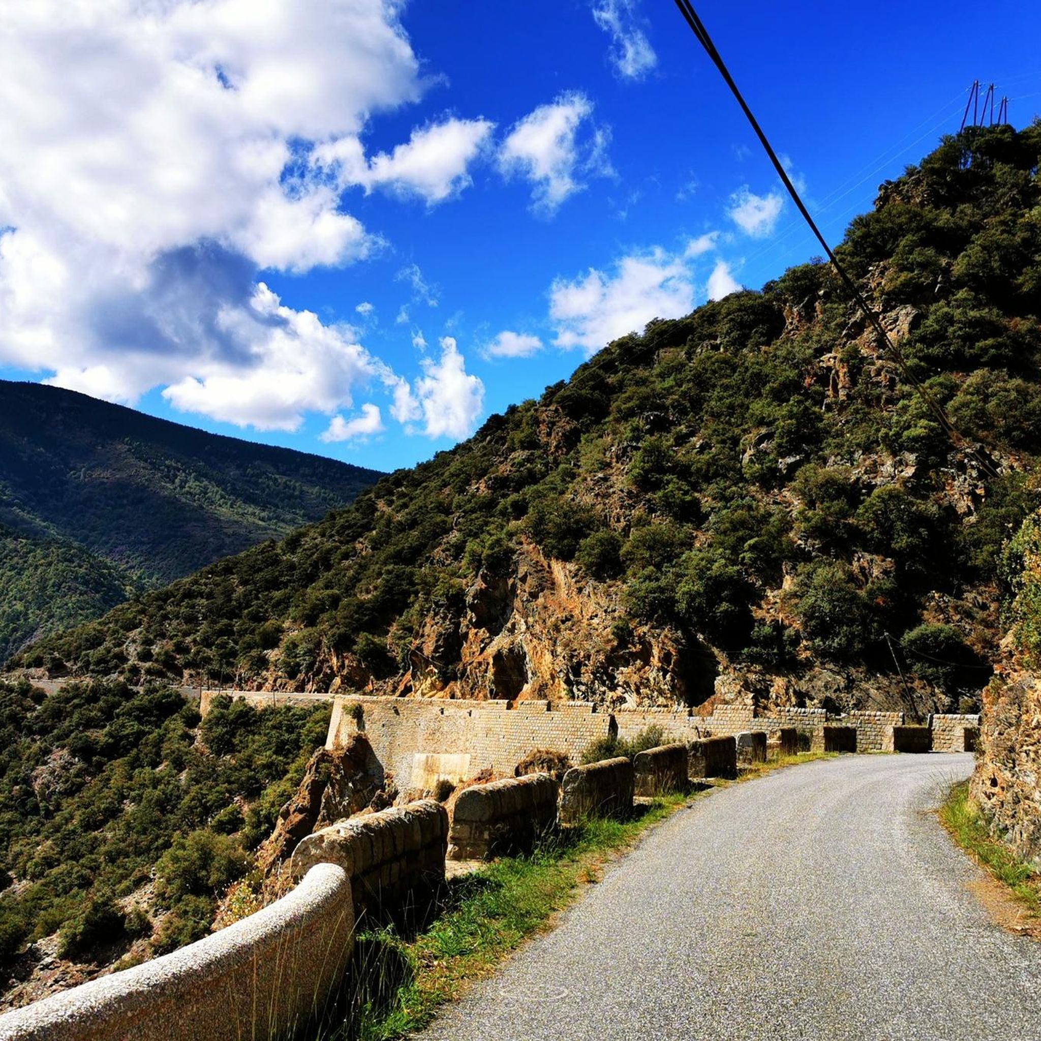
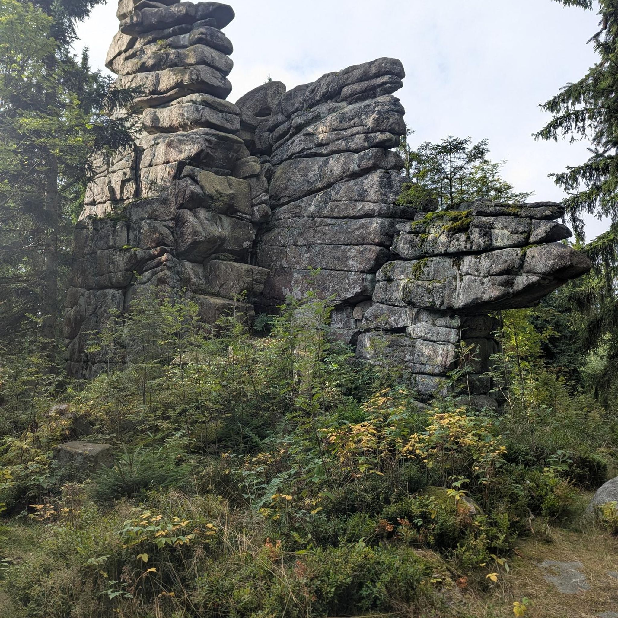
바위에 구멍을 뚫어 만든 길이라 이런 이름이 붙었습니다. 약간의 용기만 있다면 이곳을 지나는 스릴 넘치는 모험을 즐길 수 있을 것입니다.
1
0


A natural sulfurous hot spring. The water is very hot at the top and cools in the pools below.
0
0

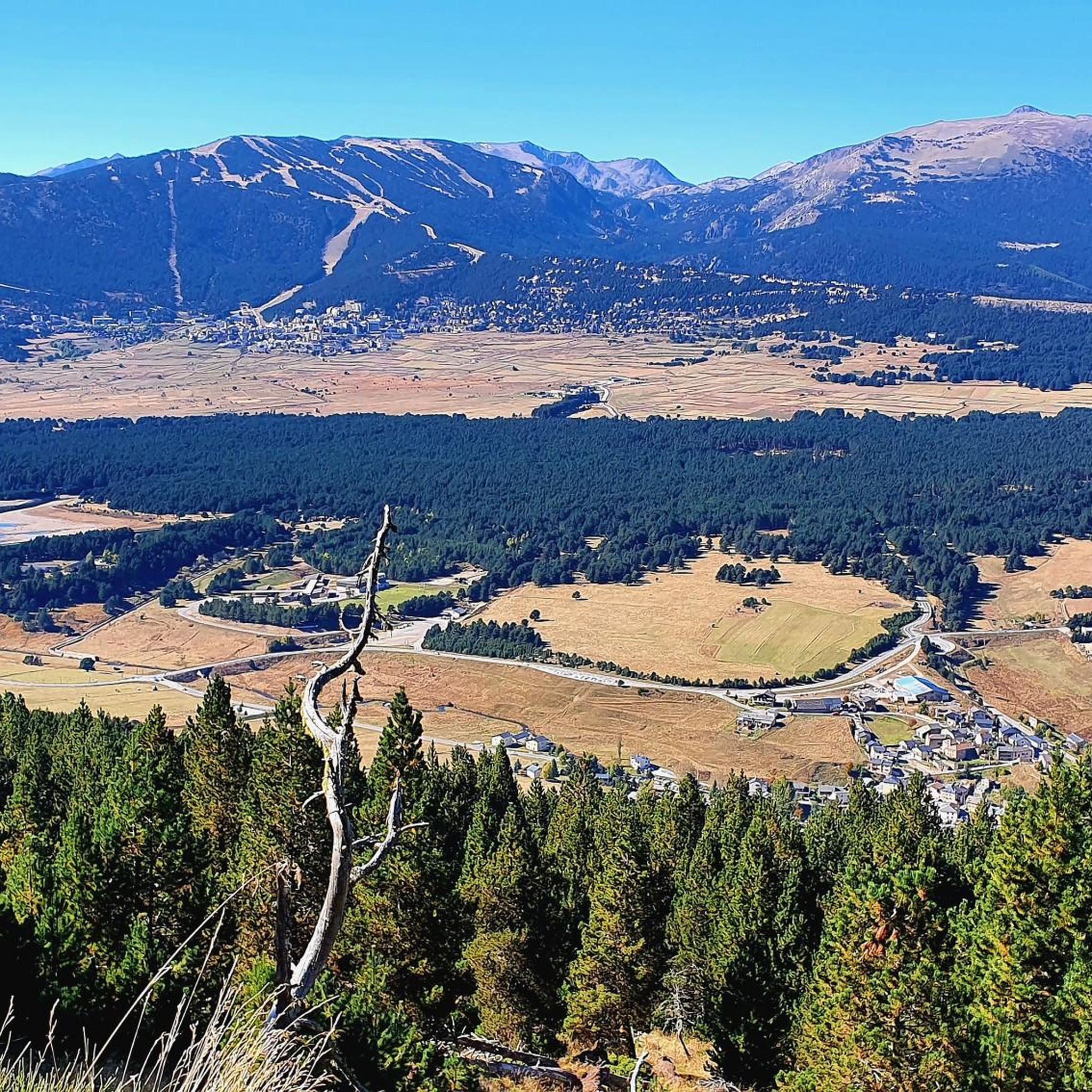
Going up the village to the antennas allows you to have a breathtaking view of the upper Têt valley. The eastern end of the Perche plateau, which carries Mont-Louis, La Cabanasse, Saint-Pierre and Planès, is dissected by the Têt and its tributaries. The landscape changes radically in a few hundred meters, the valley steepening by 500m. This topographic break point in the profile of a watercourse is called a *knick point*. It marks the place where regressive erosion has reached today following the global uplift that the region has been undergoing for around 10 Ma.
2
0
The path leaving the village offers a last view of the Cerdan landscape and the Perche plateau before heading towards the mountainous landscapes of the Orri valley. This final glance is an opportunity to visualize the layout of the three generations of flattening: the Carlit and Campcardos plateaus, the Carlit ponds and the Perche and Quillane plateaus. We can also see the imprint that the ice has left on the landscape. The tongue of ice which descended the Têt valley barely 25,000 years ago tore up, transported and deposited approximately 50 m of blocks which today form the magnificent frontal moraine of Mont-Louis and which is highlighted by the forest.
1
0

The Oller refuge (not guarded) is located halfway up the Pic de Madrès from Odeillo. From this point, you will have privileged views over places such as Puyvalador and its lake, the old station and the Pic de Ginèvre area, the Llissa Cremada, etc. As for the shelter, it is not very big but it is very pleasant and well equipped. It has bunk beds for four people, a stove and firewood, some books, maps...
0
0
The Oller refuge (not guarded) is located halfway up the Pic de Madrès from Odeillo. From this point, you will have privileged views over places such as Puyvalador and its lake, the old station and the Pic de Ginèvre area, the Llissa Cremada, etc. As for the shelter, it is not very big but it is very pleasant and well equipped. It has bunk beds for four people, a stove and firewood, some books, maps...
1
0
오레이라 주변에서 가장 인기 있는 명소


더 살펴보기
오레이라 주변의 최고의 동굴을 찾기 위해 이 가이드를 확인해보세요:
