바슈렐에서 가장 멋진 11개의 천연기념물
천연기념물을 방문하여 바슈렐의 아름다운 풍경을 만나보세요. 바슈렐에 있는 11
개의 천연기념물과 상세 정보를 살펴본 후에 방문하고 싶은 천연기념물을 다음 모험 계획에 추가해보세요!
마지막 업데이트: 10월 7, 2026


이런 장소를 발견하려면 지금 가입하세요
최고의 싱글 트랙, 봉우리 및 다양한 흥미로운 야외 장소에 대한 추천을 받아보세요.
니므-르-비외의 카오스
하이라이트 • 자연 기념물
번역자 Google •
팁에 의해

라 캉 드 로스피탈레
하이라이트 (구간) • 전망대
번역자 Google •
팁에 의해

오늘 무료 계정으로 시작하세요
다음 모험이 기다리고 있어요.


커뮤니티 팁

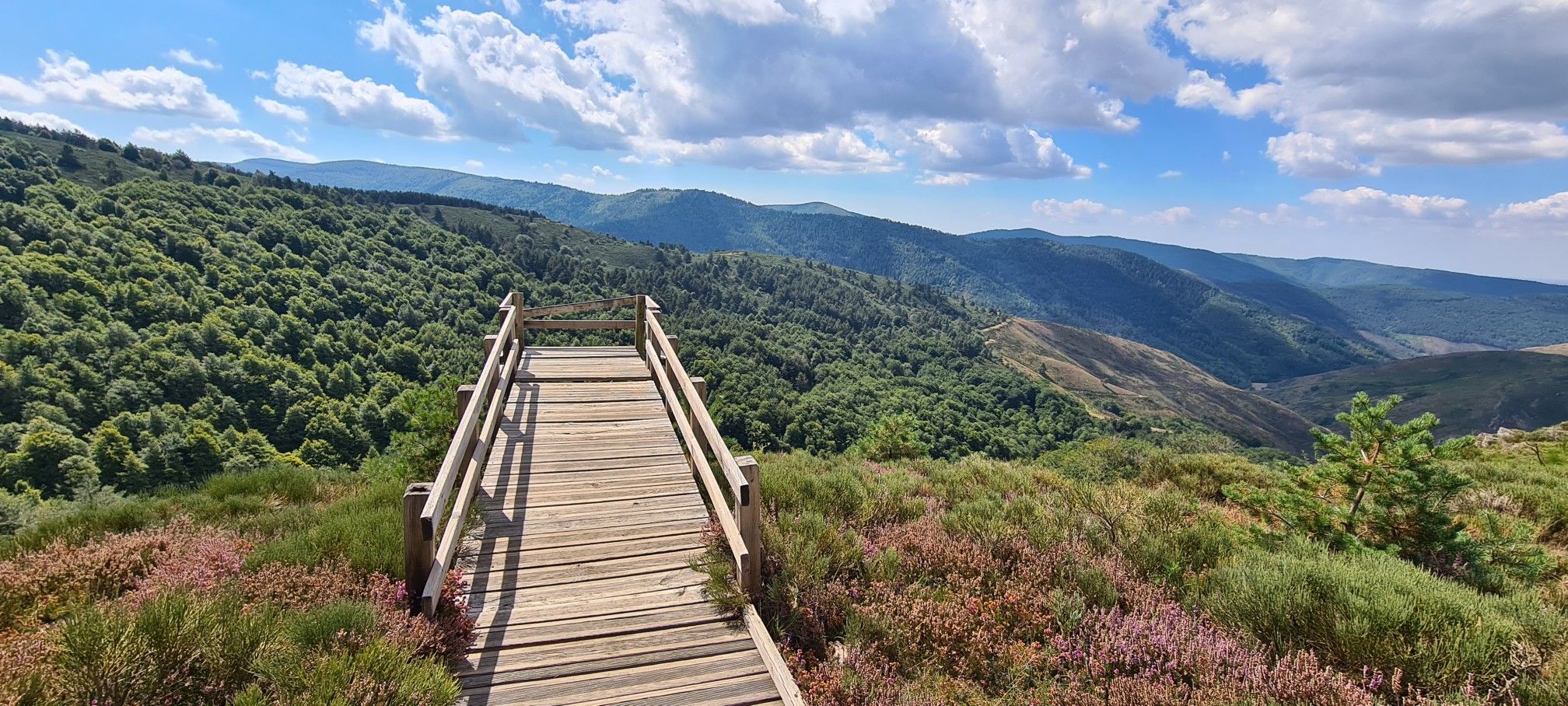
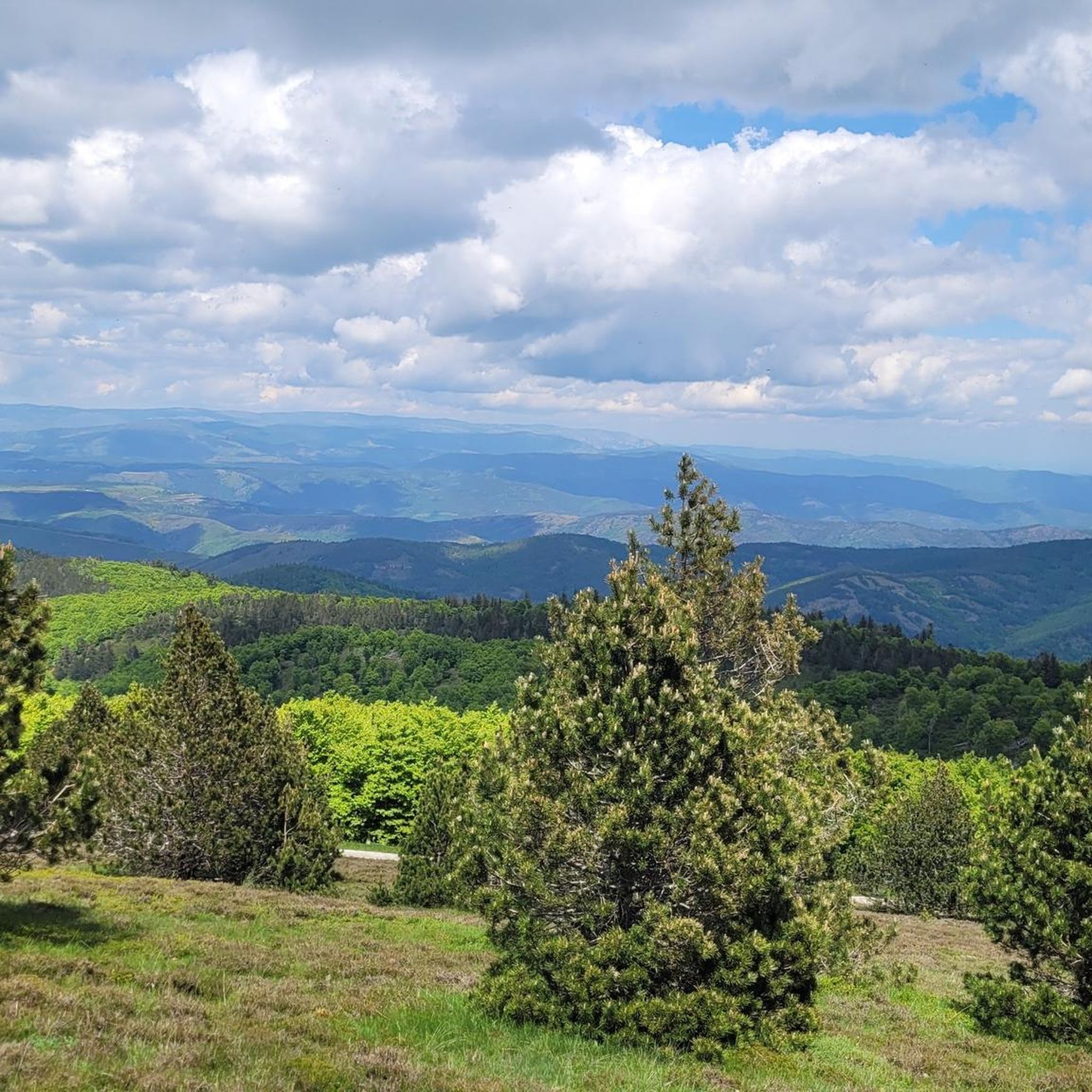
This pass, discreetly nestled among the fir trees, is a great road and pedestrian crossing. It also allows cyclists and gravel enthusiasts to take the trails that go a little deeper into the coniferous forests.
0
0


22.60 km and “Height difference” 1033m between Le Vigan and Col!
1
0

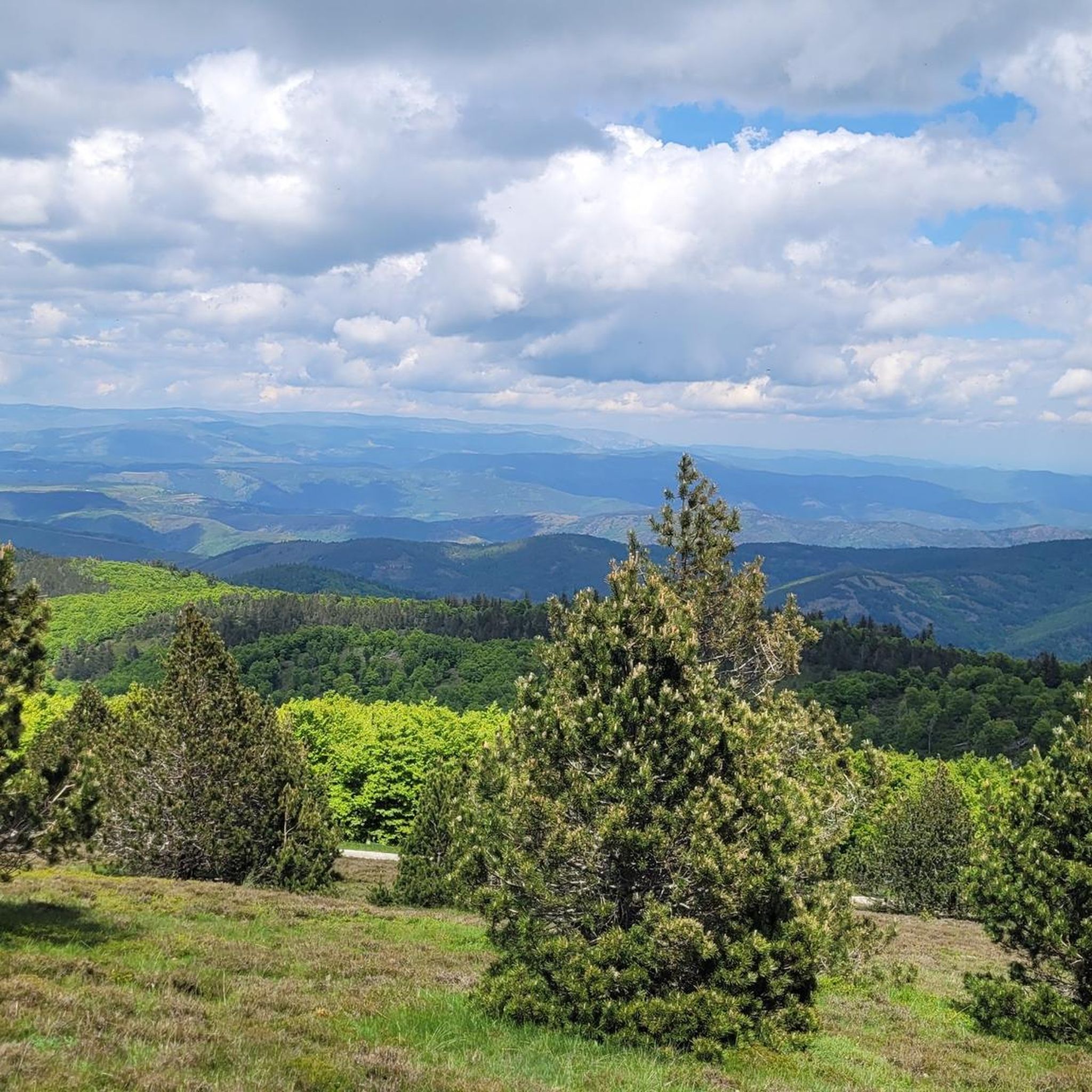
The Col du Minier with an altitude of 1,264 meters is located on the watershed between the Mediterranean Sea and the Atlantic Ocean. It is also located near a small waterfall, which is very useful for cooling off.
0
0

Viewpoint over the Causse Méjean from the chaos of Nîmes-le-Vieux. The Causse Méjean (or Méjan), a plateau cut by the Tarn to the north and the Jonte to the south, owes its name to its median position between the Causse de Sauveterre further north and the Causse Noir further south.
0
0
The Col du Minier with an altitude of 1,264 meters is located on the watershed line between the Mediterranean Sea and the Atlantic Ocean. It is also located near a small waterfall, which turns out to be very useful for cooling off after the climb.
1
0
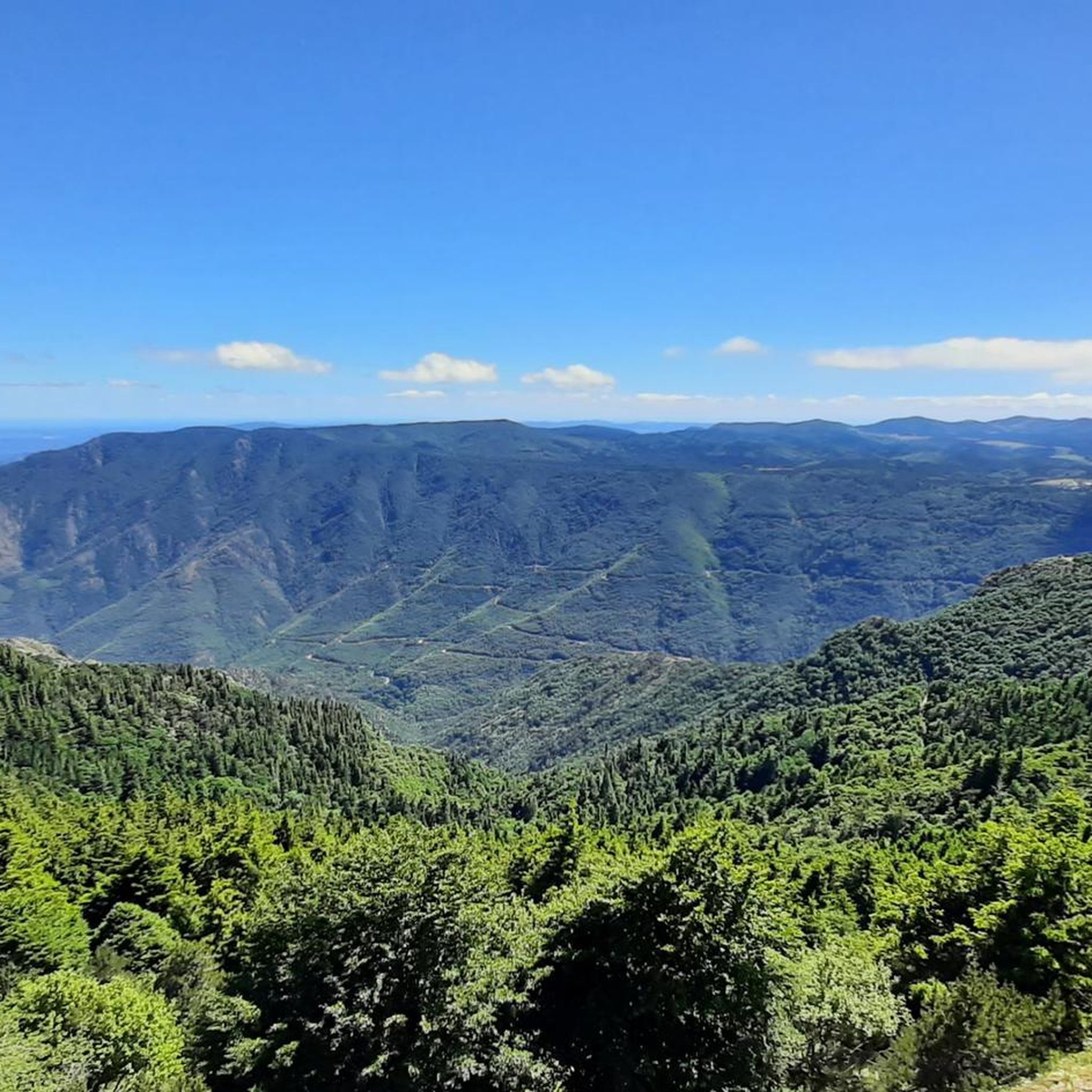
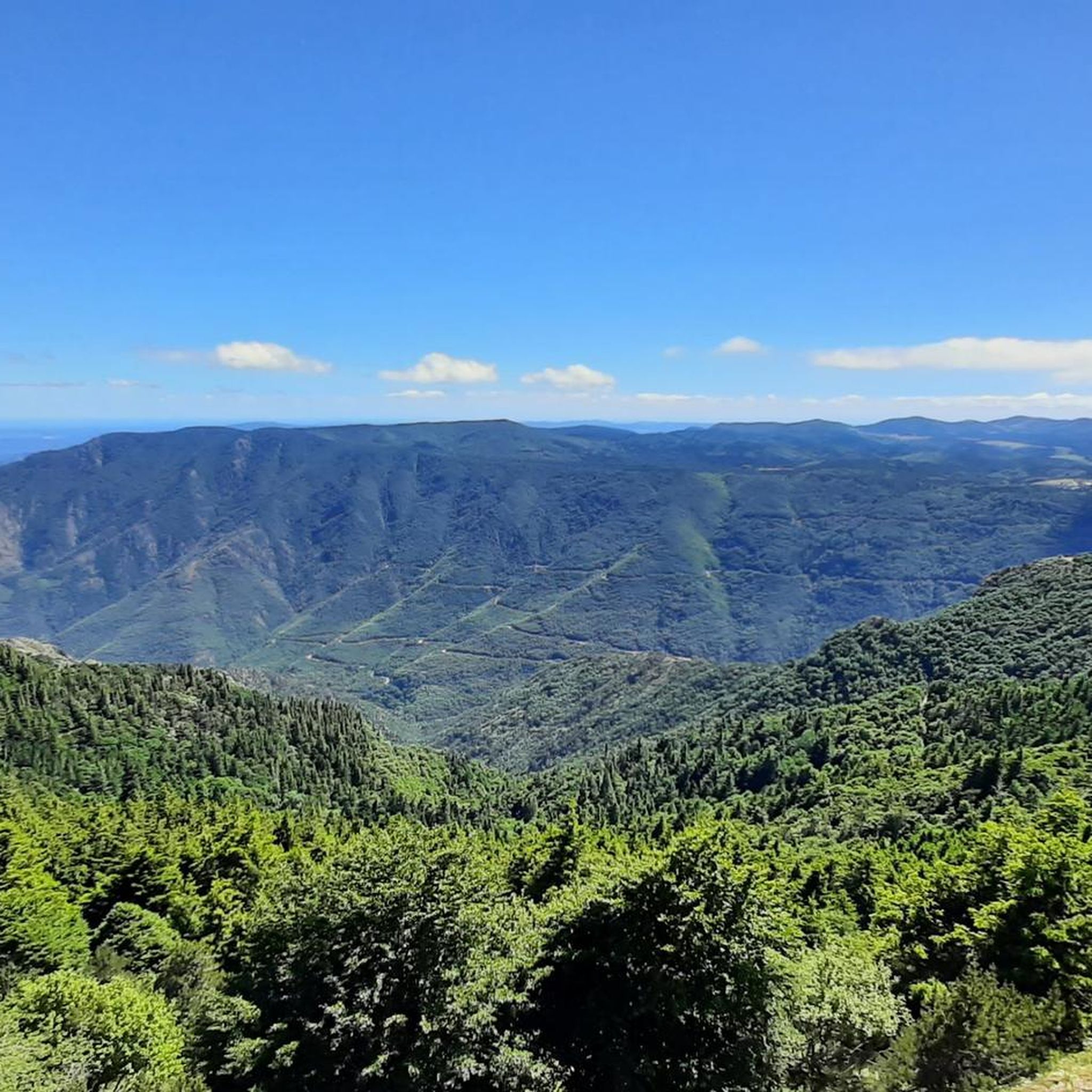
The Can de l'Hospitalet is a plateau separated from the Causse Méjean by the Tarnon. It offers magnificent views of the Cévennes. Its highest point, the Serre de Montgros, culminates at an altitude of 1,111m.
0
0
바슈렐 주변에서 가장 인기 있는 명소


더 살펴보기
바슈렐 주변의 최고의 동굴을 찾기 위해 이 가이드를 확인해보세요:
