라르모르바덴에서 가장 멋진 18개의 천연기념물
Larmor-Baden 주변의 최고의 자연 기념물은 육지와 바다가 독특하게 조화된 지역인 모르비앙 만(Gulf of Morbihan) 내에서 발견됩니다. 이 지역은 수많은 섬, 작은 섬, 광활한 해안 산책로를 특징으로 합니다. 풍경은 다양한 식생을 지원하며 환경과 고대 문화 모두에 대한 통찰력을 제공합니다. 만 자체는 종종 가장 아름다운 만 중 하나로 언급되며 독특한 해양 환경을 제공합니다.
Larmor-Baden 주변 최고의 자연 기념물
- 가장 인기 있는 자연 기념물은 돌멘 데 피에르 플라테스(Dolmen des Pierres Plates)로, 입구에 거석 기념물(menhir)이 있고 내부에 조각된 그림이 있는 역사적인 장소입니다. 바다…
마지막 업데이트: 10월 21, 2026
돌멘 데 피에르 플라트
하이라이트 • 역사적 장소
번역자 Google •
팁에 의해


이런 장소를 발견하려면 지금 가입하세요
최고의 싱글 트랙, 봉우리 및 다양한 흥미로운 야외 장소에 대한 추천을 받아보세요.

Vincin의 강변
하이라이트 (구간) • 강
번역자 Google •
팁에 의해

오늘 무료 계정으로 시작하세요
다음 모험이 기다리고 있어요.
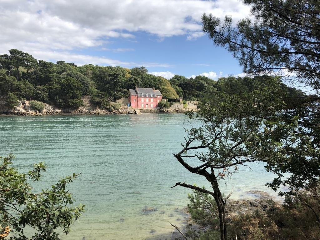
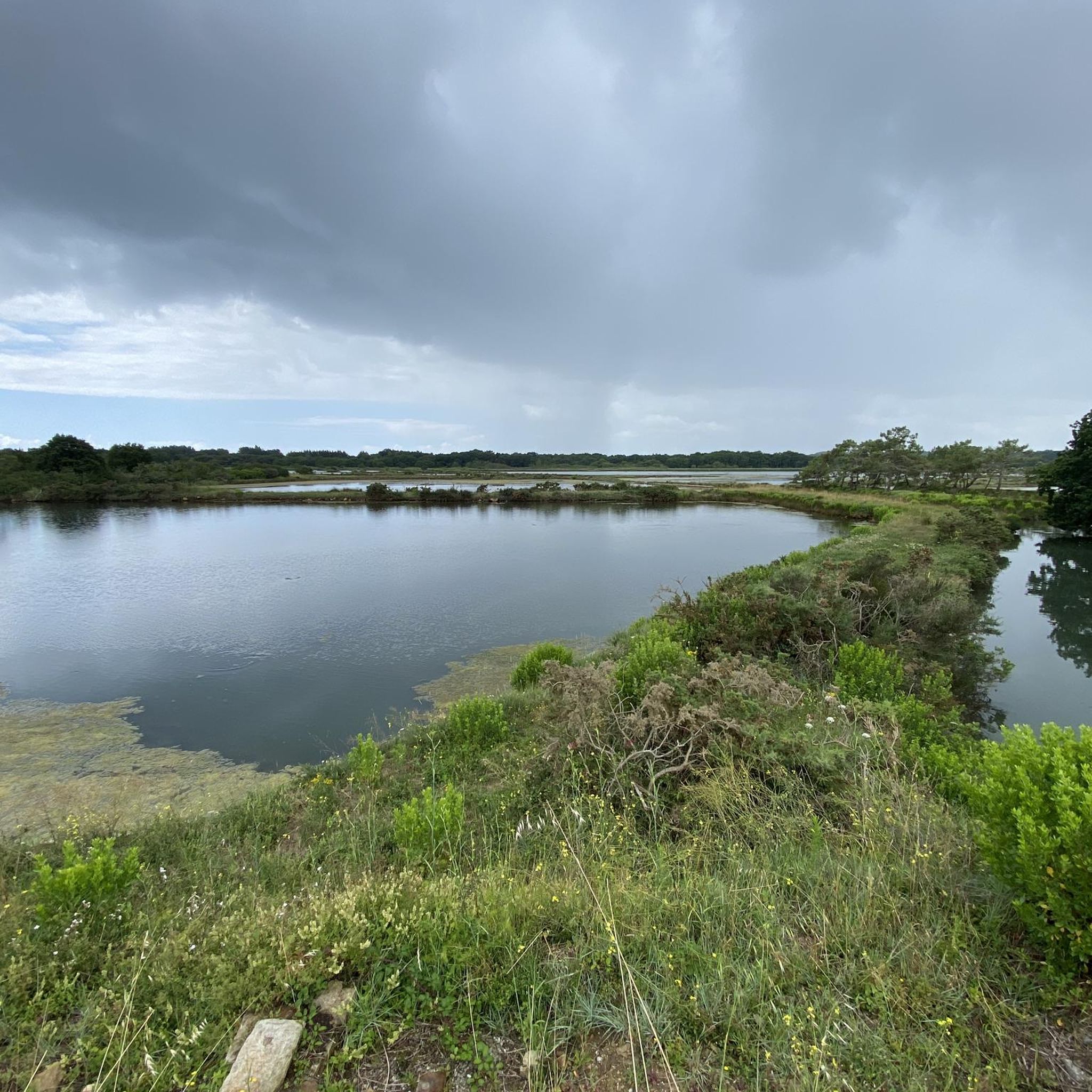
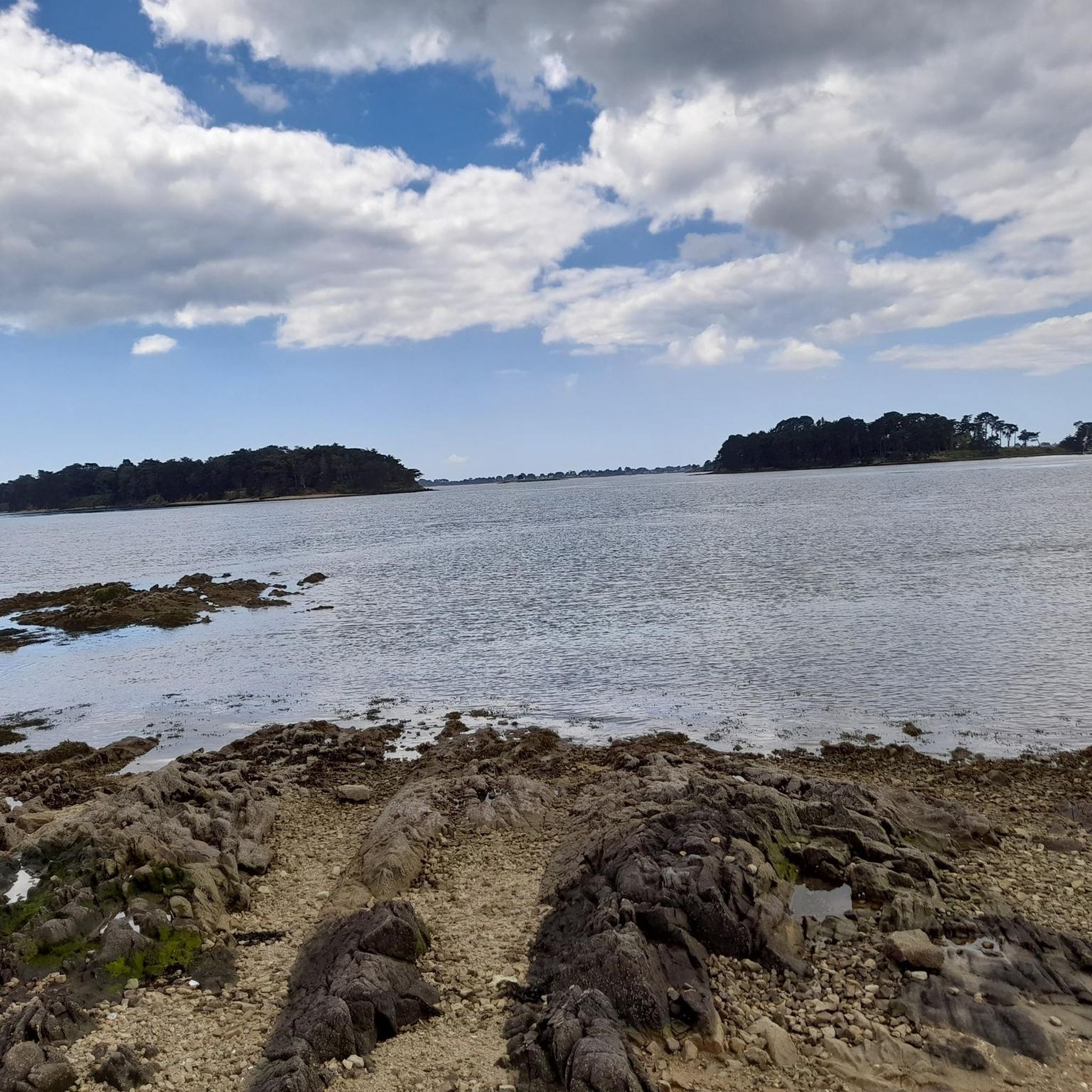
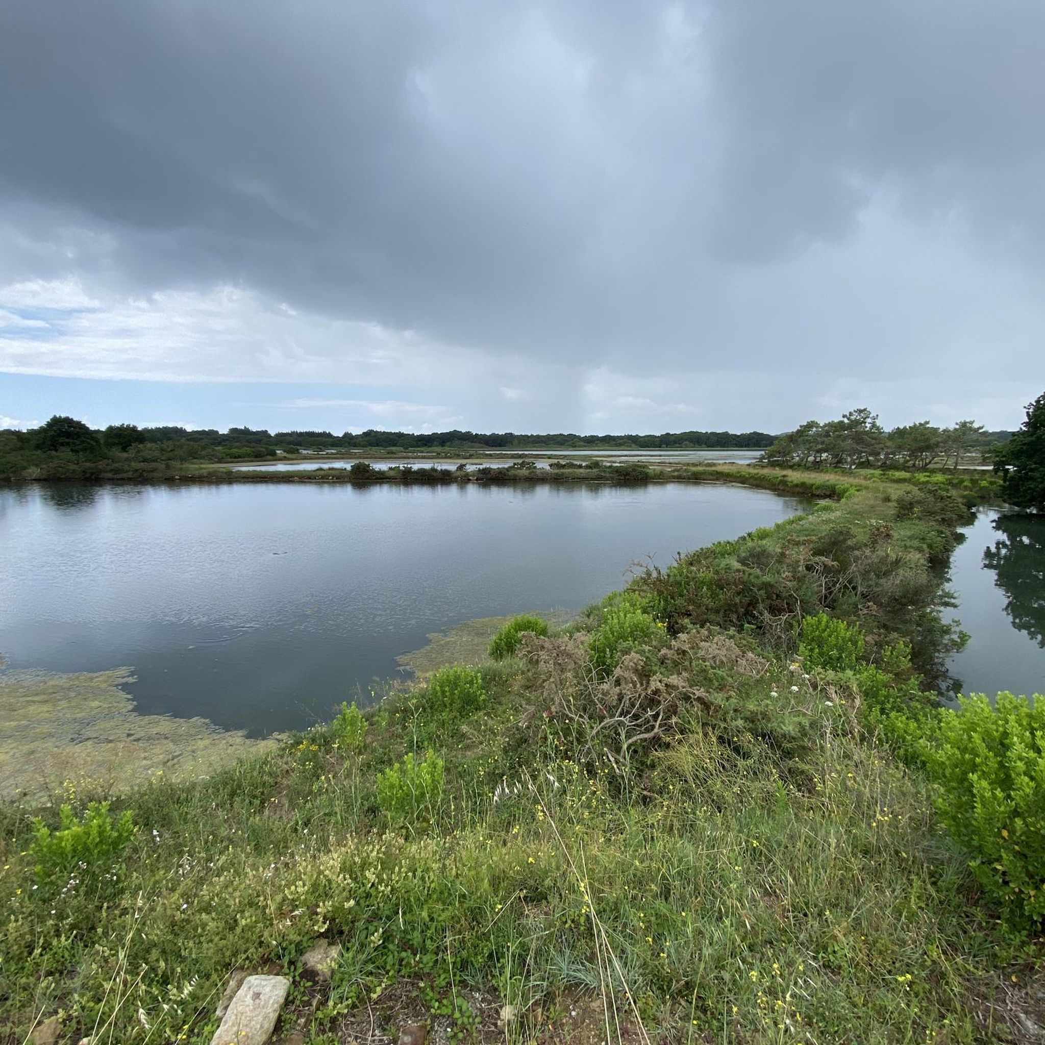

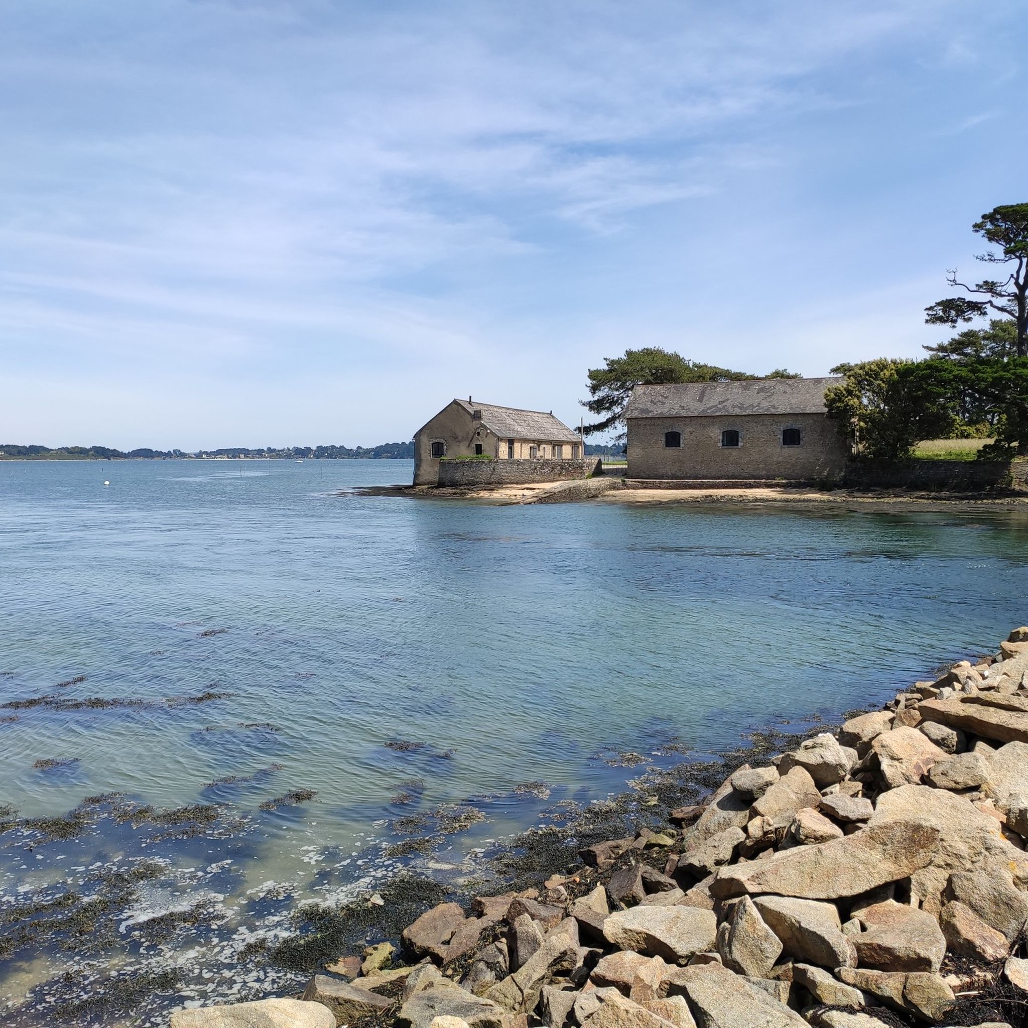
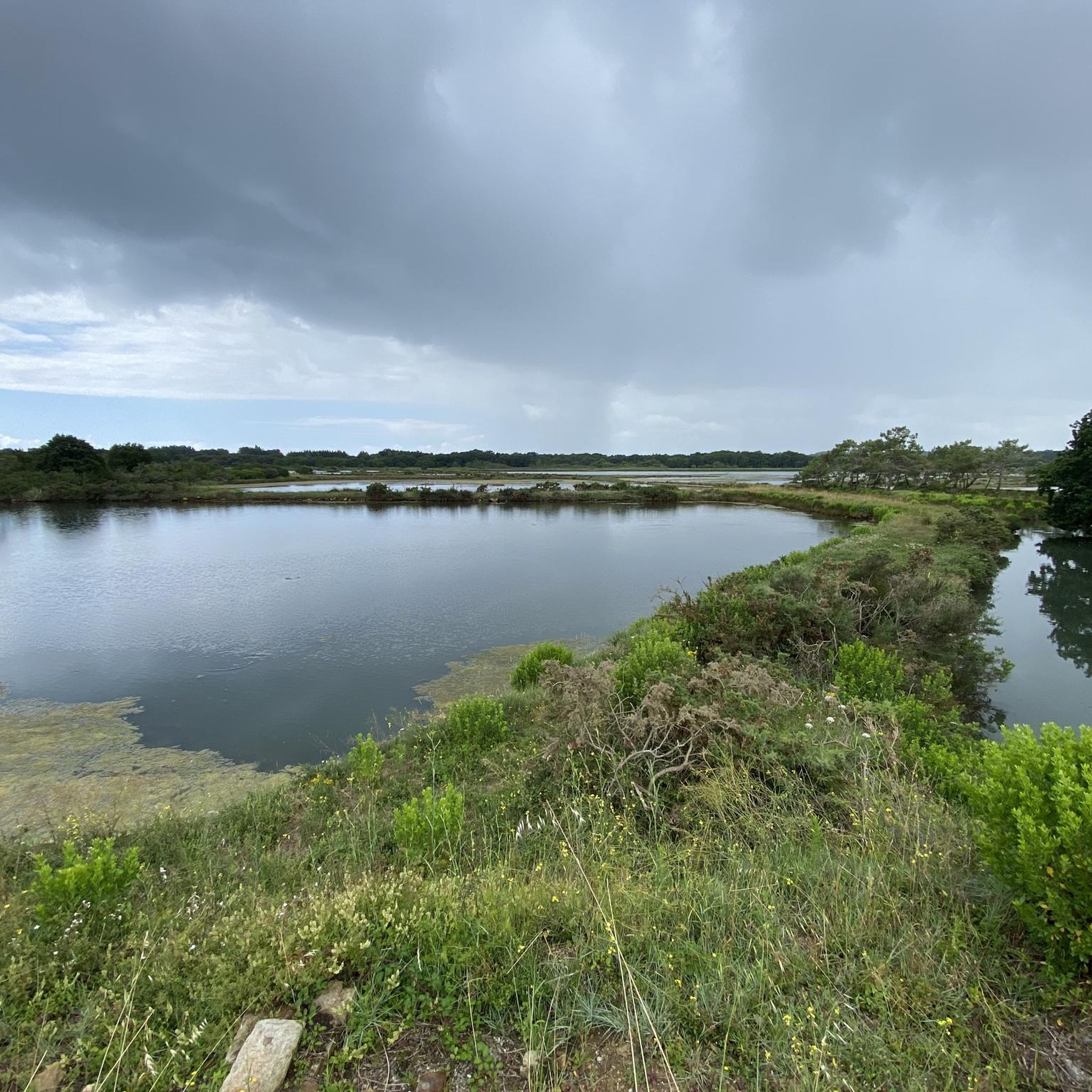
라르모르바덴 주변의 다른 모험

커뮤니티 팁

A site full of history, with a magnificent view of the bay of Quiberon. Be sure to respect the regulations of the place!
0
0

Cycle the Rives du Vincin trail, which winds through a protected natural site teeming with biodiversity. This leisurely route follows the Vincin River and takes you through lush woodlands and wetlands that are home to a variety of native bird and plant species. The area is a designated nature reserve, ensuring that its rich ecosystem is preserved. The trail is largely flat, making it ideal for a relaxed stroll, with panoramic views inviting you to pause and appreciate the serenity of the place.
1
0


The Tumiac tumulus is located in Arzon, on the Rhuys peninsula, south of the Gulf of Morbihan, in Brittany. It is also known as Caesar's Mound because, according to local legend, it served as an observatory for Julius Caesar during his war against the Veneti in 56 BC. This building belongs to the large "Carnacean" tumulus, burials of Neolithic elites, such as the Saint-Michel tumulus, in Carnac, and the Ruyk tumulus, in Locmariaquer. https://fr.m.wikipedia.org/wiki/Tumulus_de_Tumiac
0
0

Beautiful views of the islands of the Gulf of Morbihan.
2
0

Pointe de Brouel is the westernmost part of the Island of Arz (Morbihan). This similarity in name with the nearby Pointe de Brouel on Île aux Moines originated four thousand years before our era, when the two islands were still connected by an isthmus. According to a legend, a young man from the Île d'Arz was madly in love with a young girl from the Île aux Moines, but her parents were opposed to his marriage and decided to entrust him to the monks. His beauty, however, joined him every day. The parents asked the superior of the monastery to chastise the couple. One evening, while Beauty was joining her lover on the isthmus, the sea separated the two islands and drowned the young girl.
1
0
Caesar's Mound is a tumulus 56 meters in diameter and 18 meters high. This pile of stones, covered with a layer of silt and black earth, was explored in 1853. Classified as a historical monument in 1926, the tumulus was the subject of further excavations and work in 1934, which uncovered several secondary burials. Unfortunately, the tumulus is currently closed indefinitely due to the risk of collapse.
2
0
라르모르바덴 주변에서 가장 인기 있는 명소


더 살펴보기
라르모르바덴 주변의 최고의 동굴을 찾기 위해 이 가이드를 확인해보세요:
