콩데 쉬르 베그레에서 가장 멋진 5개의 천연기념물
천연기념물을 방문하여 콩데 쉬르 베그레의 아름다운 풍경을 만나보세요. 콩데 쉬르 베그레에 있는 5
개의 천연기념물과 상세 정보를 살펴본 후에 방문하고 싶은 천연기념물을 다음 모험 계획에 추가해보세요!
마지막 업데이트: 8월 28, 2026


이런 장소를 발견하려면 지금 가입하세요
최고의 싱글 트랙, 봉우리 및 다양한 흥미로운 야외 장소에 대한 추천을 받아보세요.
무료 회원 가입
에탕 드 생-위베르
하이라이트 • 호수
번역자 Google •
팁에 의해


오늘 무료 계정으로 시작하세요
다음 모험이 기다리고 있어요.
로그인 또는 가입하기



커뮤니티 팁

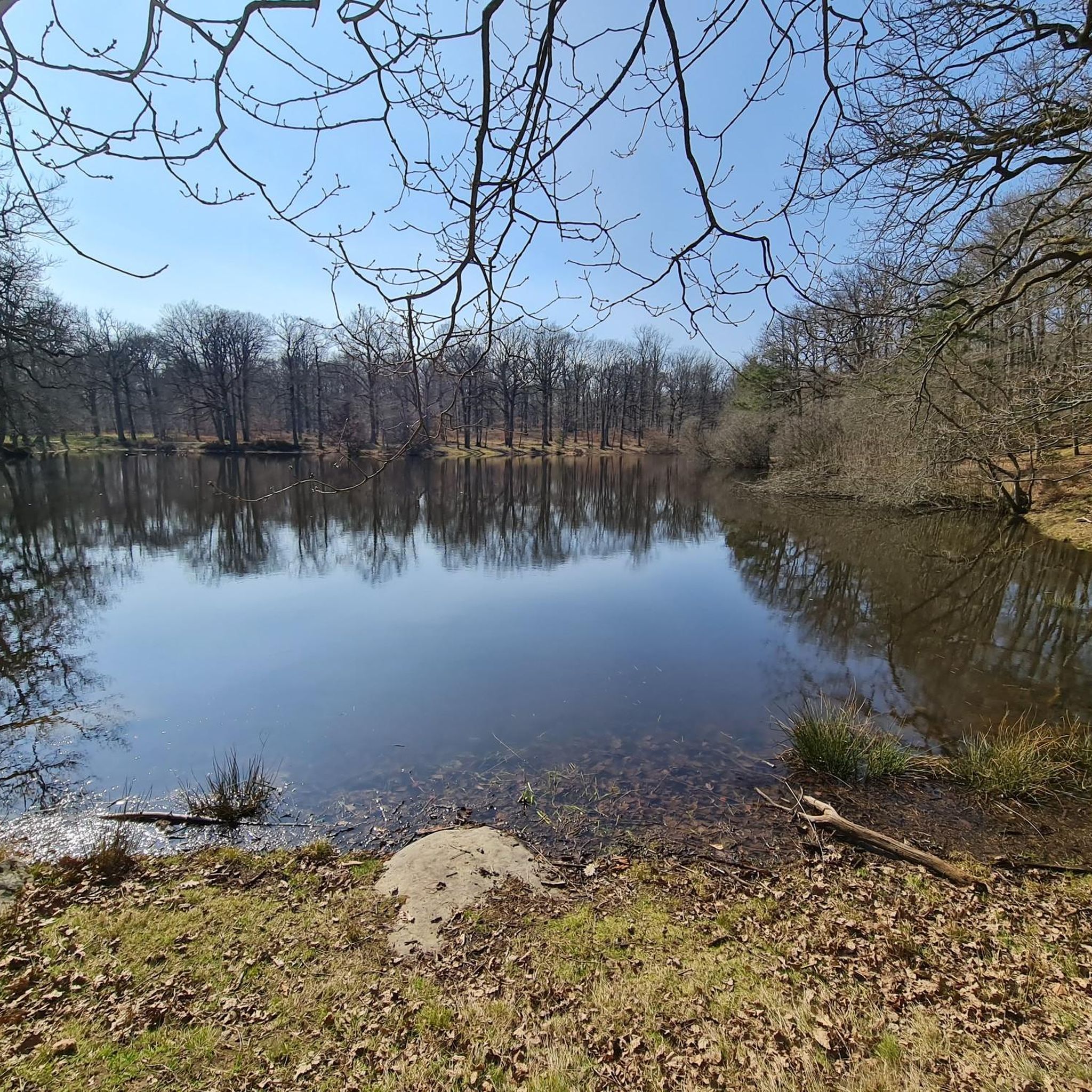
This former retention basin was part of the network that was used to supply water to the Palace of Versailles. Today, it is a beautiful bird sanctuary where it is pleasant to walk.
0
0

Napoleon's bridge crossing the ponds of the Cheuvreuse valley. Very nice place to get some air in the Paris region
1
0
Passing over the Pont Napoléon between the Etangs de Saint-Hubert and de Pourras in the heart of the Cheuvreuse Valley
1
0

At the edge of this road a pond which forms with the forest which surrounds it a protected natural area. Each year, during the thaw (roughly from February to April), a "toadstool" is installed on the road that runs along the pond. But what is a toaddrome exactly? So, it is not a place where one could indulge in clandestine bets on toad races, but a device intended to prevent these poor beasts from being crushed by cars in crossing the road to breed and lay their eggs in the pond on the other side of the road. Indeed, thousands of common toads, but also frogs and newts, begin their long prenuptial migrations around March each year. They go to the nearest pond or pond to breed. Once their duty is done, they leave the aquatic environment to return to their summering areas where they will spend most of their time feeding. In order to avoid a carnage of amphibians on the road, a tarpaulin is planted 600m on each side of the road to block their passage. In various places a hole has been made in which a bucket is buried. By looking for a passage all along the tarpaulin, the toad will inevitably end up at the bottom of a bucket. Every morning, volunteers come to collect toads and other frogs and drop them off on the other side of the road.
1
0


Located at an altitude of 154 meters1, the pond covers an area of 0.8 hectares. The “Ponts-Quentin stream” flows into the Rompu pond — coming from the Holland ponds located about 1 km upstream to the east — and comes out to flow, about ten kilometers further to the west, in the Vesgre, having previously changed its name twice: first under the name of “Etang-Neuf stream” then under that of “Grapelin”. The Ponts-Quentin stream passes under departmental road 138 before flowing into the pond, which justifies the undulation of the road and its bend. The pond is part of the Rambouillet national forest, a private state domain. As such, its management is ensured by the National Forestry Office (ONF). Wikipedia
1
0
Developed during the reign of Louis XIV, this set of ponds and hydraulic structures was set up under the supervision of the “engineer, architect and hydraulics engineer”: Vauban himself. The 6 ponds, perched at an altitude of 174 meters, had the primary purpose of draining water in order to supply water to the basins of the Domaine de Versailles.
0
0
콩데 쉬르 베그레 주변에서 가장 인기 있는 명소


더 살펴보기
콩데 쉬르 베그레 주변의 최고의 동굴을 찾기 위해 이 가이드를 확인해보세요:
