구자르게스에서 가장 멋진 5개의 천연기념물
Guzargues 주변의 최고의 자연 기념물은 포도밭과 관목 지대를 포함한 보존된 자연 환경을 특징으로 하는 지역에서 발견됩니다. Guzargues는 험준한 석회암 봉우리, 강 협곡, 독특한 지질학적 지형을 특징으로 하는 옥시타니 지역의 다양한 풍경을 탐험하기 위한 거점 역할을 합니다. 이 풍경은 수세기 동안의 포도 재배와 지중해 식생에 의해 형성되었습니다. 이 지역은 강 수원지부터 탁 트인 산 전망까지 볼거리와 탐험할 수 있는 다양한 자연 기념물을 제공합니다.
Guzargues 주변 최고의 자연 기념물
- 가장 인기 있는 자연 기념물은 강 지형인 Lez Resurgence입니다. 방문객들은 계절에 따라…
마지막 업데이트: 10월 20, 2026
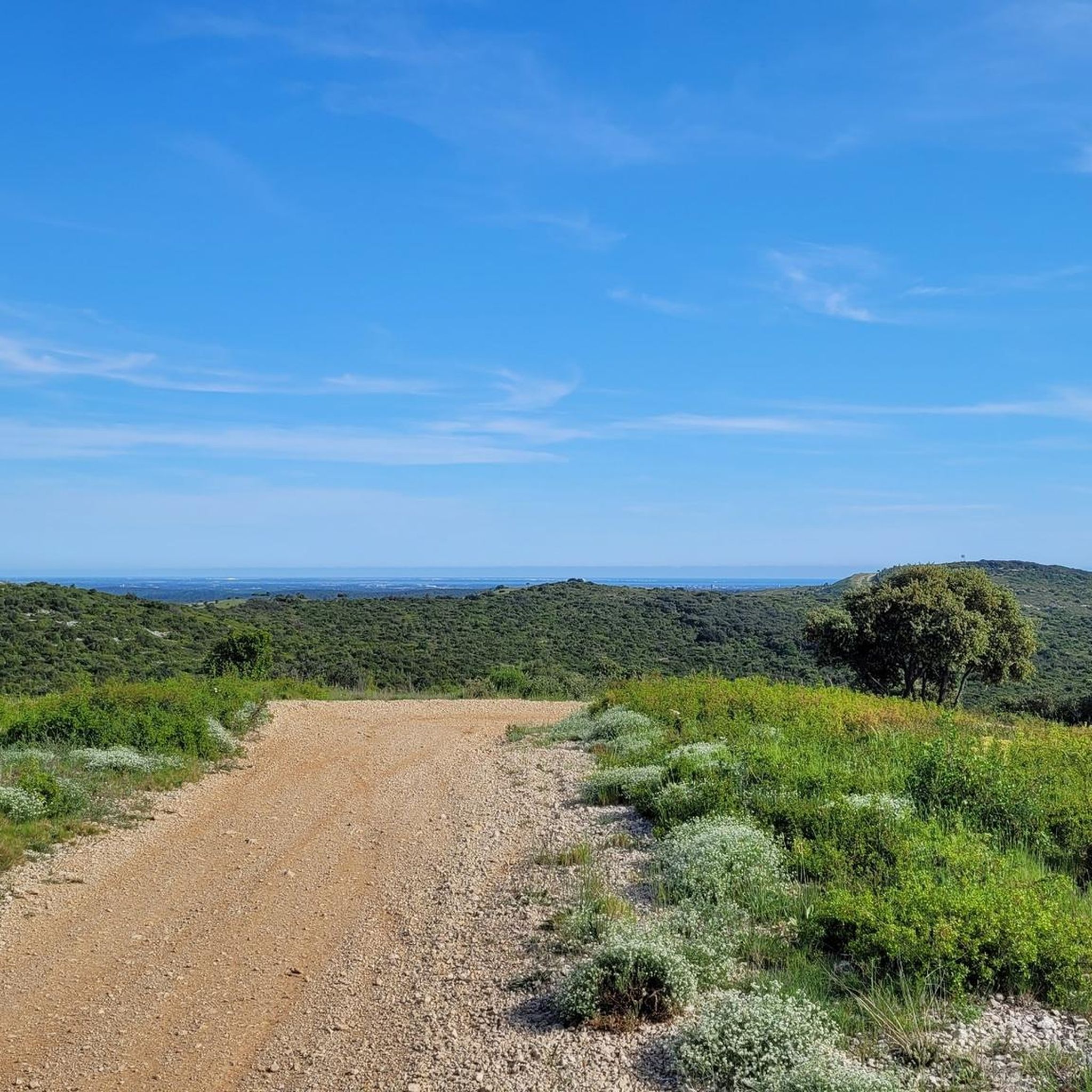
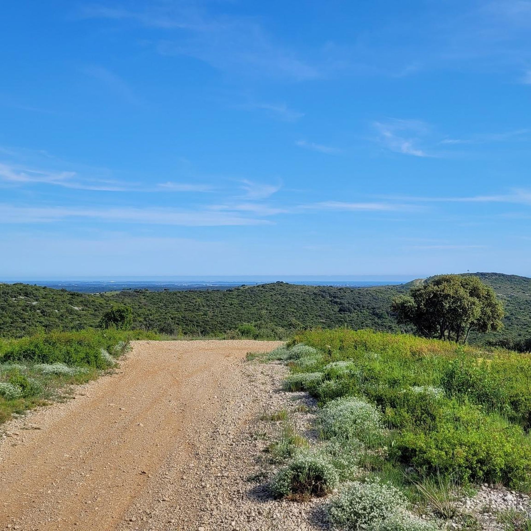
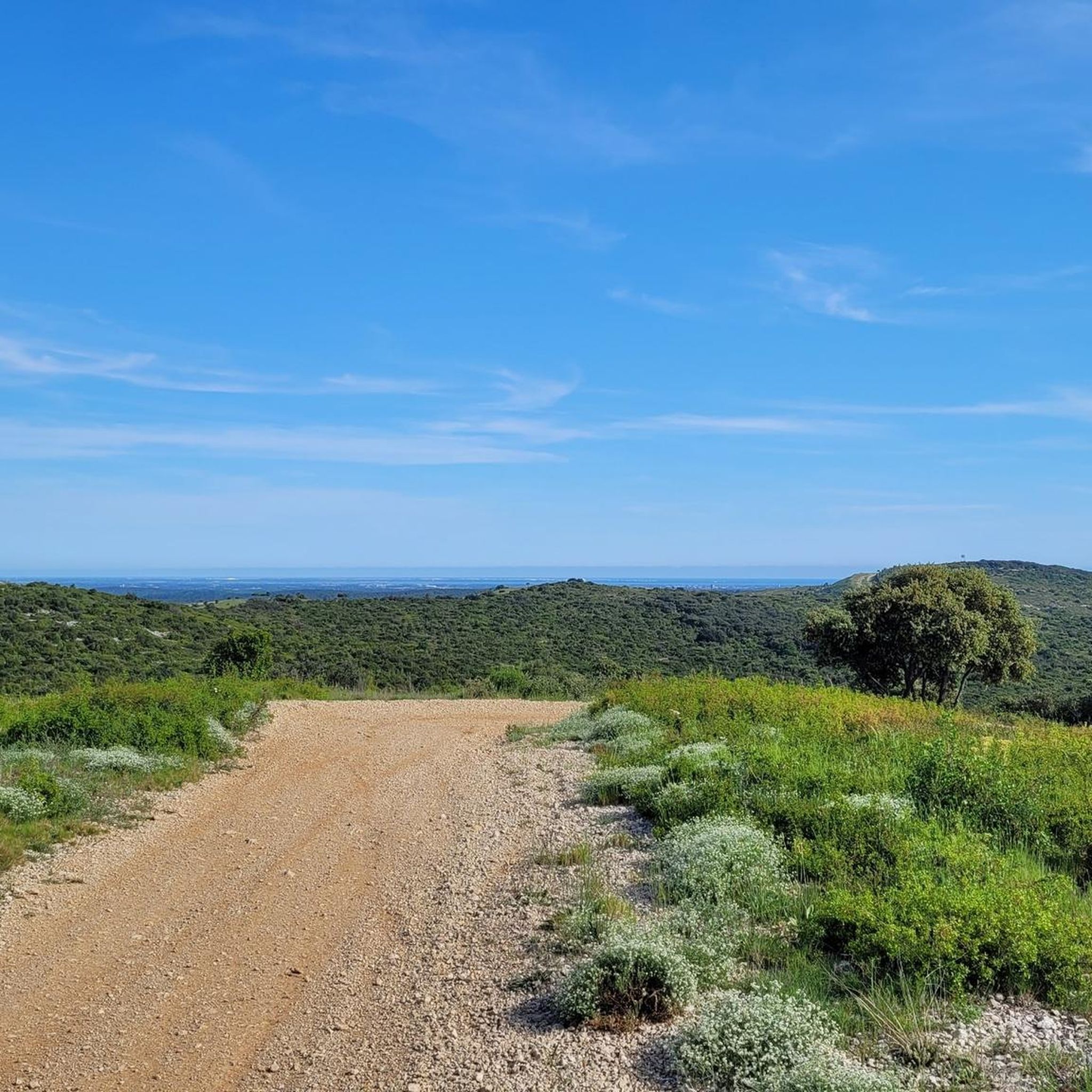
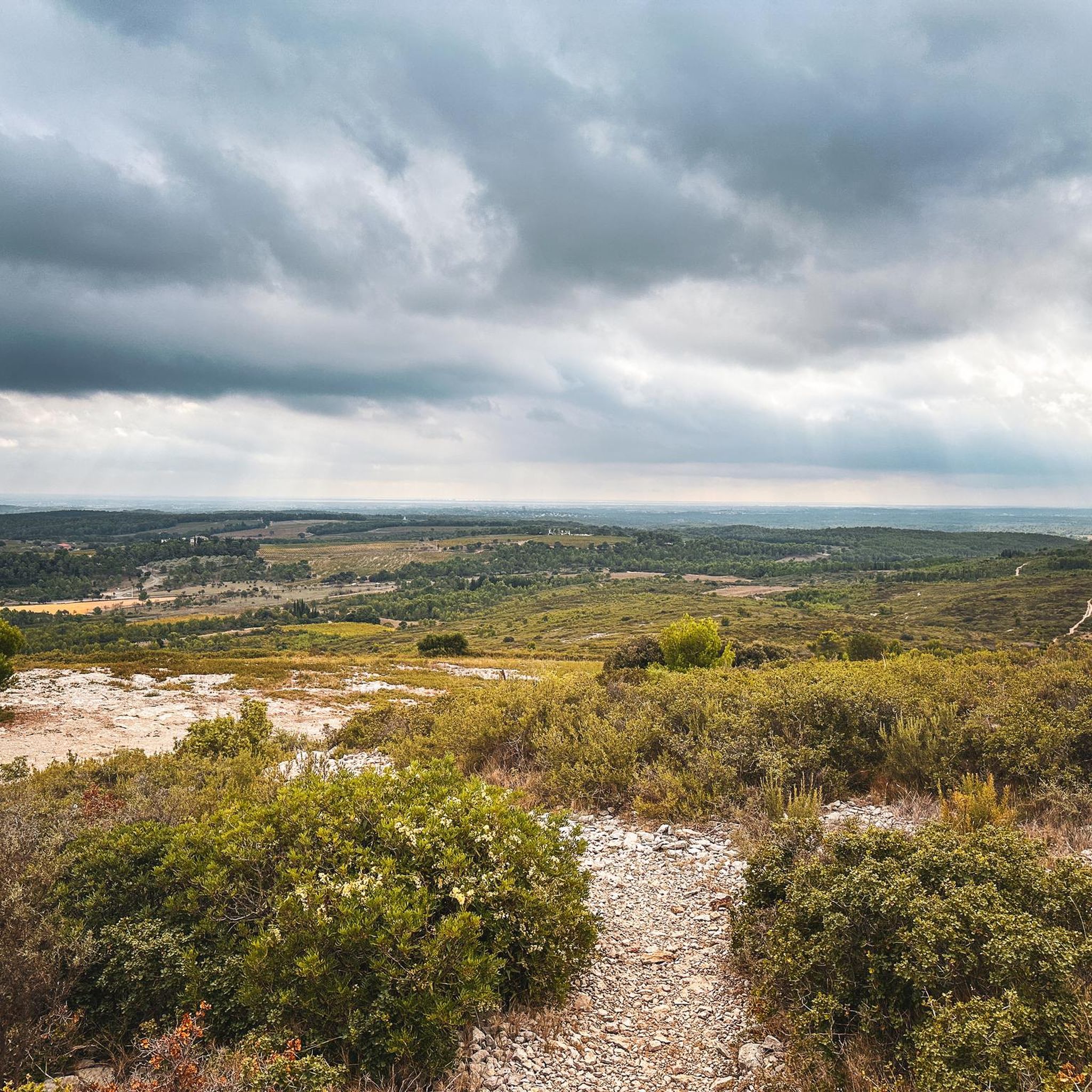
피크 생 루프에서 바라보는 세벤 산맥과 바다 전망
하이라이트 • 전망대
Best for this hike is to go behind the peak. So you will enjoy the shade and the descent of the peak …
번역자 Google •
팁에 의해


이런 장소를 발견하려면 지금 가입하세요
최고의 싱글 트랙, 봉우리 및 다양한 흥미로운 야외 장소에 대한 추천을 받아보세요.
퐁 데 투리유(로마네스크 다리)
하이라이트 • 다리
PS: be careful it does not date from the Roman era, but is in Romanesque style, an important nuance!
번역자 Google •
팁에 의해

오늘 무료 계정으로 시작하세요
다음 모험이 기다리고 있어요.

커뮤니티 팁

It’s a shame that the resurgence can only be seen through a fence, there are fences everywhere… Precaution against vandalism?
0
0

The Pont des Tourilles is in fact the remnant of an old Roman bridge with three arches which spanned the Cadoule.
0
0
The Pont des Tourilles is the vestige of an ancient Roman bridge with three arches which spanned the Cadoule.
2
0

Good for leaving the Montpellier conurbation and heading towards Pic St Loup. A pleasant coating on a quiet road.
2
0

Passage on foot on the bridge possible, passage by mountain bike in the bed of La Cadoule possible, if you ride in gravel you will have to push/carry your bike for 50m. Fording possible thanks to large blocks of cut stones.
0
0
Last arch still standing on the three that made up this Romanesque bridge. A ford made of blocks of stone allows you to cross La Cadoule without getting your feet wet.
1
0

This is the hike that loops west of the Pic. Once at the top, the view is exceptional...Nevertheless, you should know that certain passages of the pedestrian path are more for climbing than hiking and that certain passages can put people who are dizzy in difficulty. As a result, the duration of the loop is longer than what is announced...count between 4 and 5 hours and not 3h26.
3
1
Go up the north face? Too dangerous
4
0
구자르게스 주변에서 가장 인기 있는 명소


더 살펴보기
구자르게스 주변의 최고의 동굴을 찾기 위해 이 가이드를 확인해보세요:
