제닌스에서 가장 멋진 20개의 산 정상
제닌스의 산 정상에 오르면 이 지역의 아름다운 모습을 제대로 구경할 수 있어요. 다만, 20
곳이나 되는 산 정상 중에서 어떤 곳을 가야 할 지 고민된다는 게 문제죠. 제닌스에서 가장 멋진 산 정상을 살펴본 후에 마음에 드는 산 정상을 다음 모험 계획에 추가해보세요.
마지막 업데이트: 10월 10, 2026

피잘룬 정상 및 전망대
하이라이트 • 정상
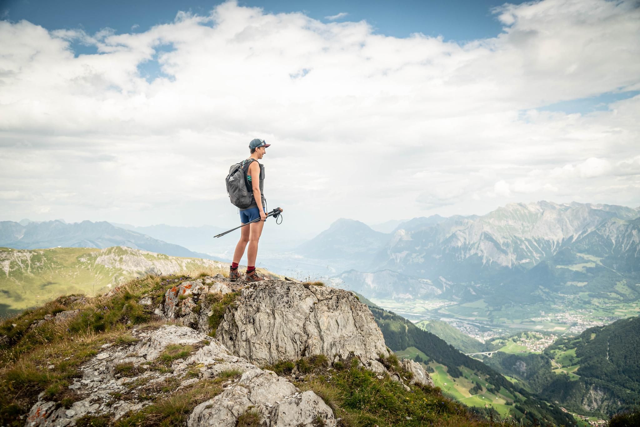
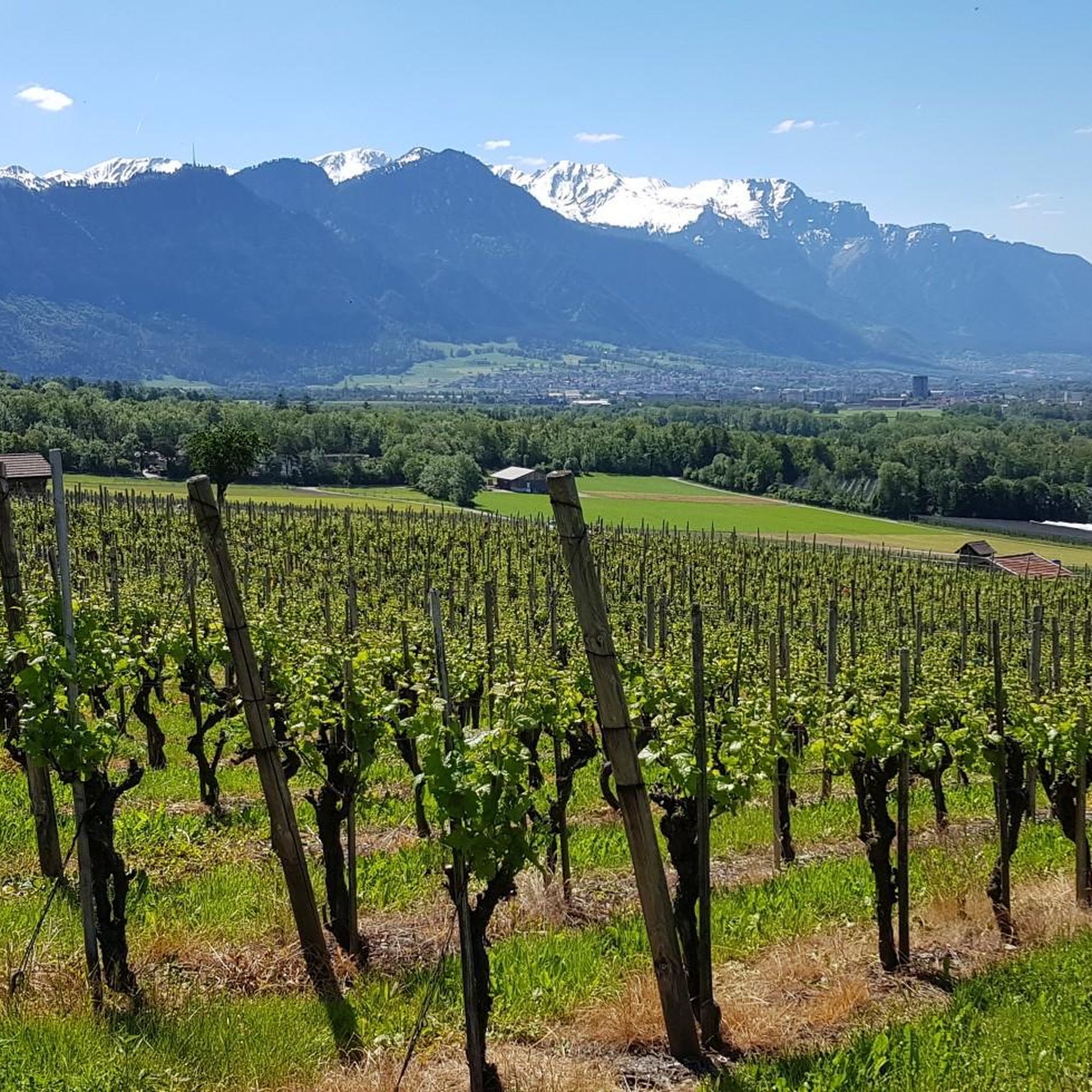
The Pizalun is a viewing point with a view of the St. Gallen, Chur Rhine Valley, Prättigau, Bündner Herrschaft, Sarganserland and …
번역자 Google •
팁에 의해

이런 장소를 발견하려면 지금 가입하세요
최고의 싱글 트랙, 봉우리 및 다양한 흥미로운 야외 장소에 대한 추천을 받아보세요.

아우크스텐베르크 정상
하이라이트 • 정상
번역자 Google •
팁에 의해


오늘 무료 계정으로 시작하세요
다음 모험이 기다리고 있어요.
제닌스 주변의 다른 모험

커뮤니티 팁

The summit lies on the border between Liechtenstein and Switzerland, between the Graubünden municipality of Fläsch and the Liechtenstein municipality of Triesen. It is accessible via a hiking trail and lies at 2,560 m above sea level. The view from Falknis extends northward beyond Lake Constance. Source: Falknis - Wikipedia https://share.google/8XutRhc1mPOcqfBan A breathtaking 360° view awaits you on Falknis.
6
0

Pizalun 1478 m above sea level (SG / GR) The Pizalun is a viewing point with a view of the St. Gallen, Chur Rhine Valley, Prättigau, Bündner Herrschaft, Sarganserland and the Principality of Liechtenstein FL. Cantonal border between SG and GR. The viewing platform, which can be reached via a steep steel staircase.
12
0

A very popular peak, which appears invincible from afar, but loses some of its "terror" with every meter you approach. The sensational view is a reward for every single drop of sweat.
6
0

Fantastic view and the highest mountain in the Rätikon. Best and ideally climbed during the weekdays and outside of the holiday season to enjoy the peace and quiet.
7
0
Augstenberg / Schafälpler 2358 m above sea level The Augstenberg, also called Schafälpler, is a 2358 m above sea level mountain in the western Rätikon on the southwest edge Text / Source: bing.com https://www.bing.com/search?q=Der+Augstenberg%2C+auch+Schaf%C3%A4lpler+genannt%2C+ist+ein+2358+m+%C3%BC.+M.&form=ANNTH1&refig=1de68adcd8914445a09b259945a32df0
15
4

Wonderful circular route that you should definitely have walked as a mountain hiker in Malbun.
3
2

Great trail for hiking with an amazing view. ☀️
2
0

An incredibly beautiful path with a breathtaking view
3
0


