몽색소넥스에서 가장 멋진 12개의 천연기념물
천연기념물을 방문하여 몽색소넥스의 아름다운 풍경을 만나보세요. 몽색소넥스에 있는 12
개의 천연기념물과 상세 정보를 살펴본 후에 방문하고 싶은 천연기념물을 다음 모험 계획에 추가해보세요!
마지막 업데이트: 8월 26, 2026

퐁 뒤 디아블르 협곡
하이라이트 • 협곡
번역자 Google •
팁에 의해

이런 장소를 발견하려면 지금 가입하세요
최고의 싱글 트랙, 봉우리 및 다양한 흥미로운 야외 장소에 대한 추천을 받아보세요.
무료 회원 가입


Pointe de Marcelly
하이라이트 • 정상
번역자 Google •
팁에 의해

무료로 가입하여 몽색소넥스 주변의 더 많은 자연 기념물을 발견하세요.
무료 회원 가입
이미 komoot 계정이 있나요?
오늘 무료 계정으로 시작하세요
다음 모험이 기다리고 있어요.
로그인 또는 가입하기

커뮤니티 팁

As you climb the challenging trail to the top of Tête du Danay, you’ll be rewarded with breathtaking panoramic views of the surrounding mountains and valleys. Once you reach the top, you’ll come across the iconic Croix du Danay, an imposing cross that marks the highest point in the region. From this vantage point, you can admire the picturesque villages, winding rivers and lush forests that characterize the landscape.
0
0

One of the most beautiful views of the valley, with a rather unusual view overlooking the mole. It is then possible to cross the ridges to Pointe du Haut Fleury but be careful at Pas de l'Ane which is quite exposed despite the handrail. Strictly not recommended in case of dizziness.
0
0
A majestic summit resembling a pyramid from the Cenise side, the Jallouvre - or Jalouvre - is a mythical summit whose ascent, although not difficult compared to its neighbor Pointe Blanche overhanging it by 30m, remains in the memory like that of a almost epic adventure between grueling scree (on both sides), the mythical Col du Razoir (the aptly named) and the Passage de la Cravate which, in the end, poses no more problem than that when the residual snowfields have disappeared, unless that we are subject to vertigo. In summary, one of the most beautiful hikes in the area in my opinion, for which you still need to be sure-footed and in good shape, but which can be tamed quite easily. Do not miss !
1
0


Incredible nature, the river has carved out a passage
0
0

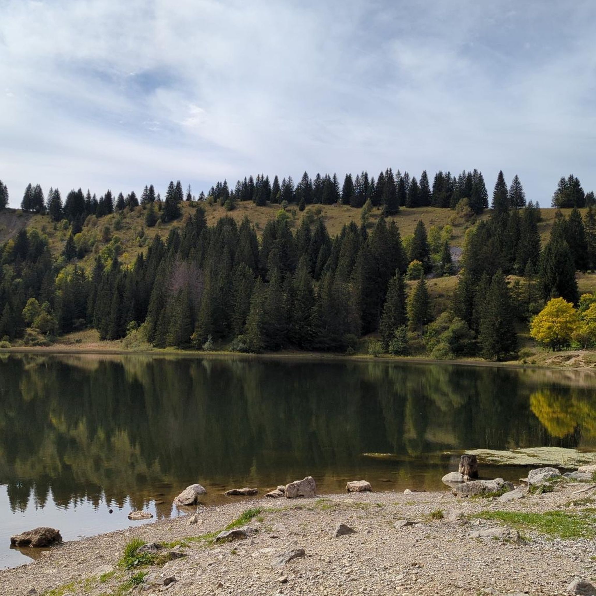
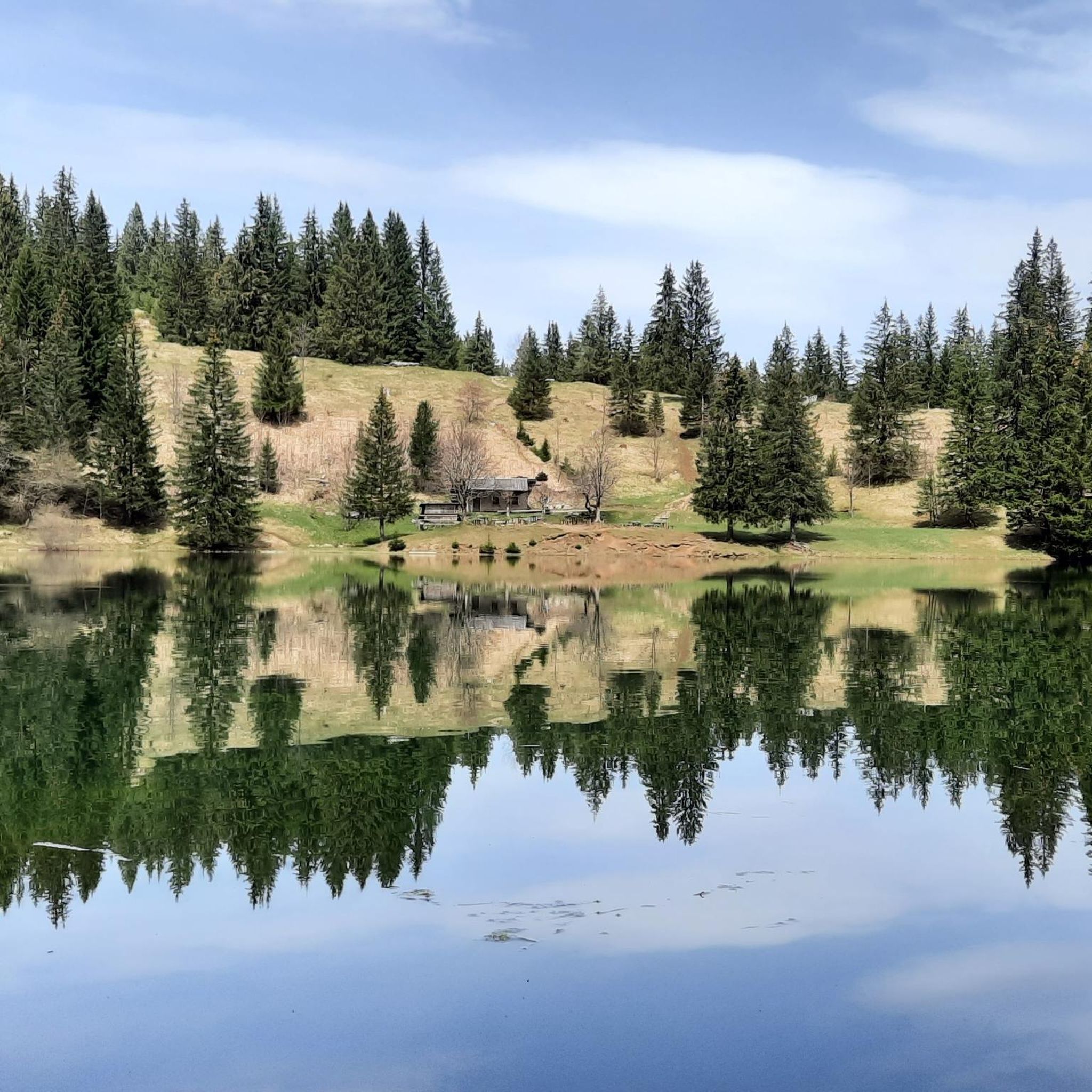
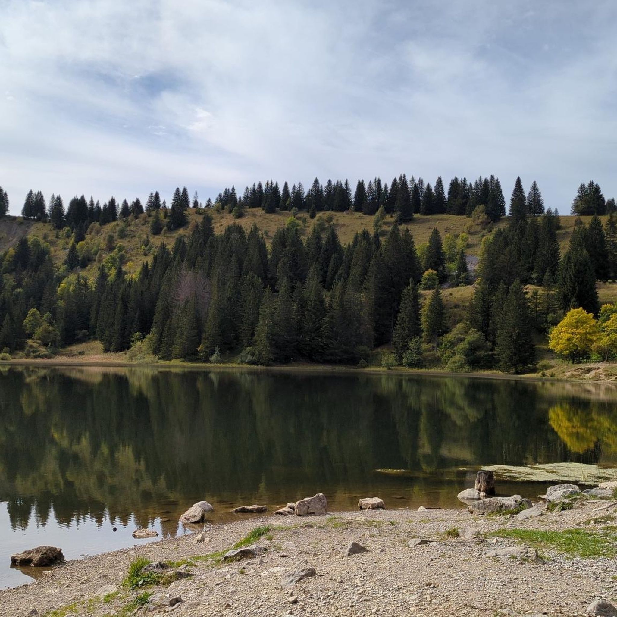
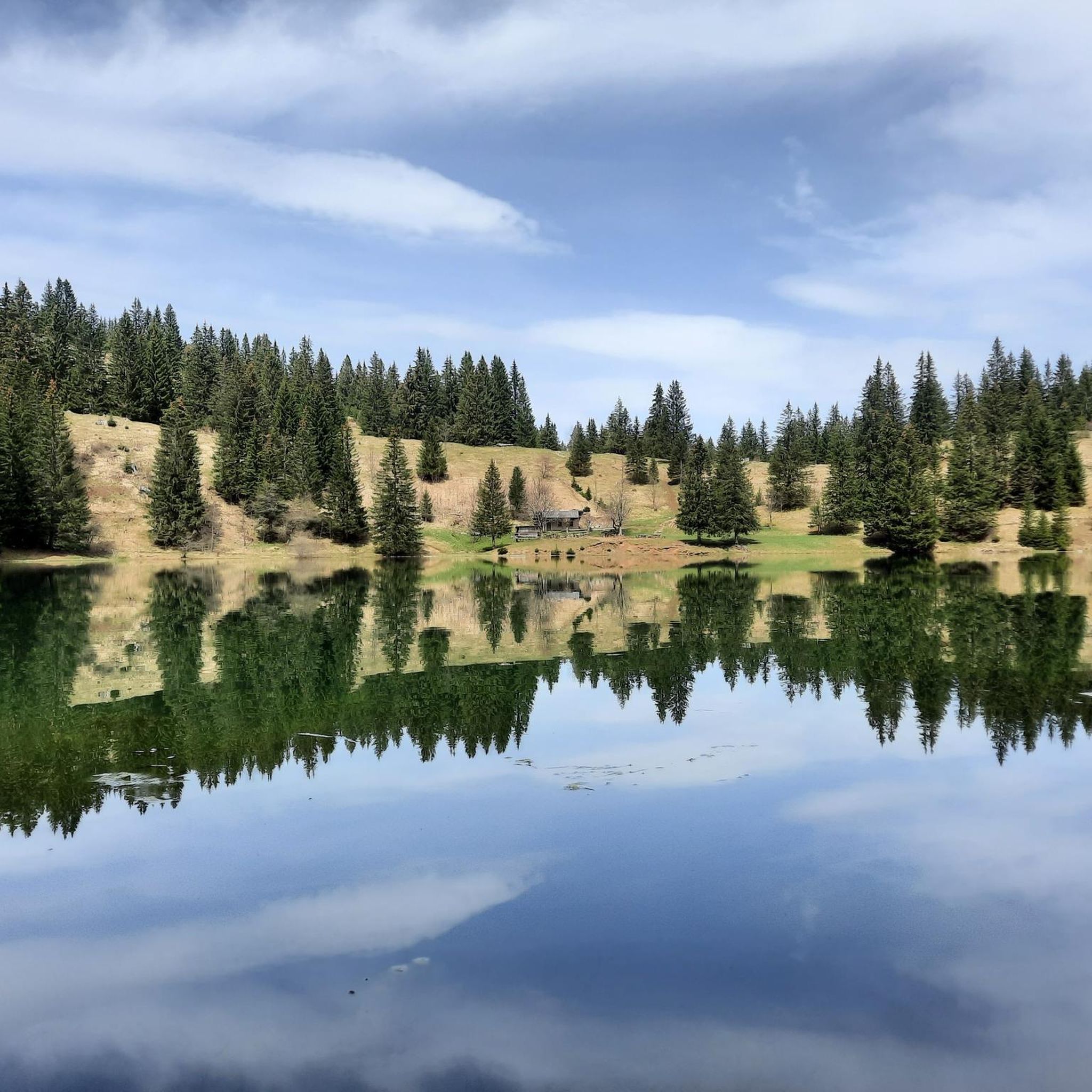
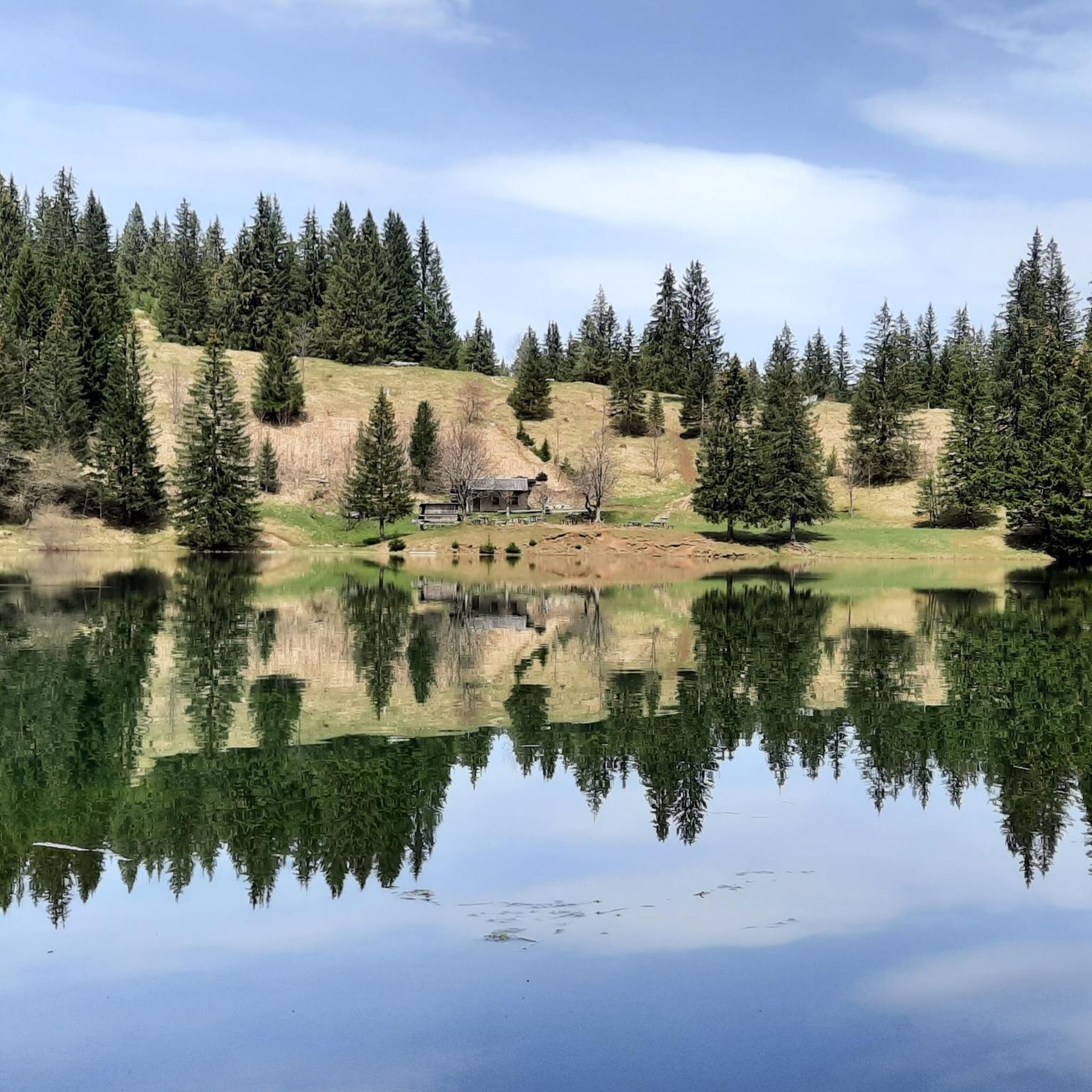
Lake Bénit is located at an altitude of 1,452 meters, on the northern slope (ubac) of the Bargy chain, in the Bornes1 massif. It is dominated to the south by the limestone wall of the Bargy chain from where the scree of the Col d'Encrenaz cirque spills out and delimits the south-west shore of the lake. The northwest bank corresponds to the slope of the old glacial basin while the east bank opens onto the valley of the Lac Bénit stream. In 1988, Father Arsène Bourgeaux, ethnographer, in a publication dedicated to the parish, indicated that the lake, “for the inhabitants of the Mont is considered as a sort of founding place where the identity of a population originates” 7. The lake was the subject of processions by the populations of Marnaz and Mont-Saxonnex, on Saint Claude's Day, in order to protect the villages from flooding. The lake benefited from developments in the early 1960s, notably with the raising of the lake level, which made it possible to double its surface area7. The inauguration took place on July 11, 19657. A mass was improvised by priest Claude Scherantz. Lake Bénit is the subject of many legends. One of them relates that the fairies came to bathe there and were at the origin of the production of butter and tomme in the town. A second legend says that an episcopal ring is found in the lake9. Following a deadly avalanche, the bishop of the diocese is said to have gone “in a grand procession” to bless the lake and to have thrown “his episcopal ring into the waves asking heaven that such a catastrophe never happens again”9. Another version says that the object was so heavy that it fell into the lake at the time of the blessing9. According to this legend, an avalanche emptied the lake and flooded Marnaz below4. Finally Alphonse Favre (en) reports that “this lake is due to a collapse in which a fir forest disappeared. As for the time, it can only be established in a very doubtful manner, by the fact that an old man from the village of Brezon assured, around 1845, that this event had happened in his father's youth. »1
0
0
The Gorges du Giffre, at the Pont du Diable, represent a very aesthetic canyon, when the sun is in the axis, it gives extraordinary lights. These mythical gorges are steeped with a rather horizontal profile. The geological formation of the Gorges du Giffre is formed by a lock, called a glacial lock. On the bottom of the valley, the folds of the limestone layers are oriented perpendicular to the axis of the valley. During the Quaternary era, these limestones offered greater resistance to the erosion of the glacier. He was only able to hollow out the layers occasionally. The pots were dug afterwards, by repeated movements of water and pebbles
0
1

Great summit, which is also worthwhile because of the ascent via the "razor blade" and the "tie"
0
0
몽색소넥스 주변에서 가장 인기 있는 명소


더 살펴보기
몽색소넥스 주변의 최고의 동굴을 찾기 위해 이 가이드를 확인해보세요:
