브릴/브리겔스에서 가장 멋진 20개의 산 정상
브릴/브리겔스의 산 정상에 오르면 이 지역의 아름다운 모습을 제대로 구경할 수 있어요. 다만, 20
곳이나 되는 산 정상 중에서 어떤 곳을 가야 할 지 고민된다는 게 문제죠. 브릴/브리겔스에서 가장 멋진 산 정상을 살펴본 후에 마음에 드는 산 정상을 다음 모험 계획에 추가해보세요.
마지막 업데이트: 8월 30, 2026

이런 장소를 발견하려면 지금 가입하세요
최고의 싱글 트랙, 봉우리 및 다양한 흥미로운 야외 장소에 대한 추천을 받아보세요.
무료 회원 가입

겜스파이렌슈톡 정상
하이라이트 • 정상
번역자 Google •
팁에 의해

겜스파이렌슈톡 오르막의 주요 구간
하이라이트 • 등반
Questioning or playing down official SAC ratings is completely out of the question for me. The so-called "social media alpinism" is increasingly being criticized due to the increase in irresponsible users.
번역자 Google •
팁에 의해

무료로 가입하여 브릴/브리겔스 주변의 더 많은 봉우리를 발견하세요.
무료 회원 가입
이미 komoot 계정이 있나요?
오늘 무료 계정으로 시작하세요
다음 모험이 기다리고 있어요.
로그인 또는 가입하기
브릴/브리겔스 주변 인기 장소

Winter Magic in the Surselva – peace, space and pure nature
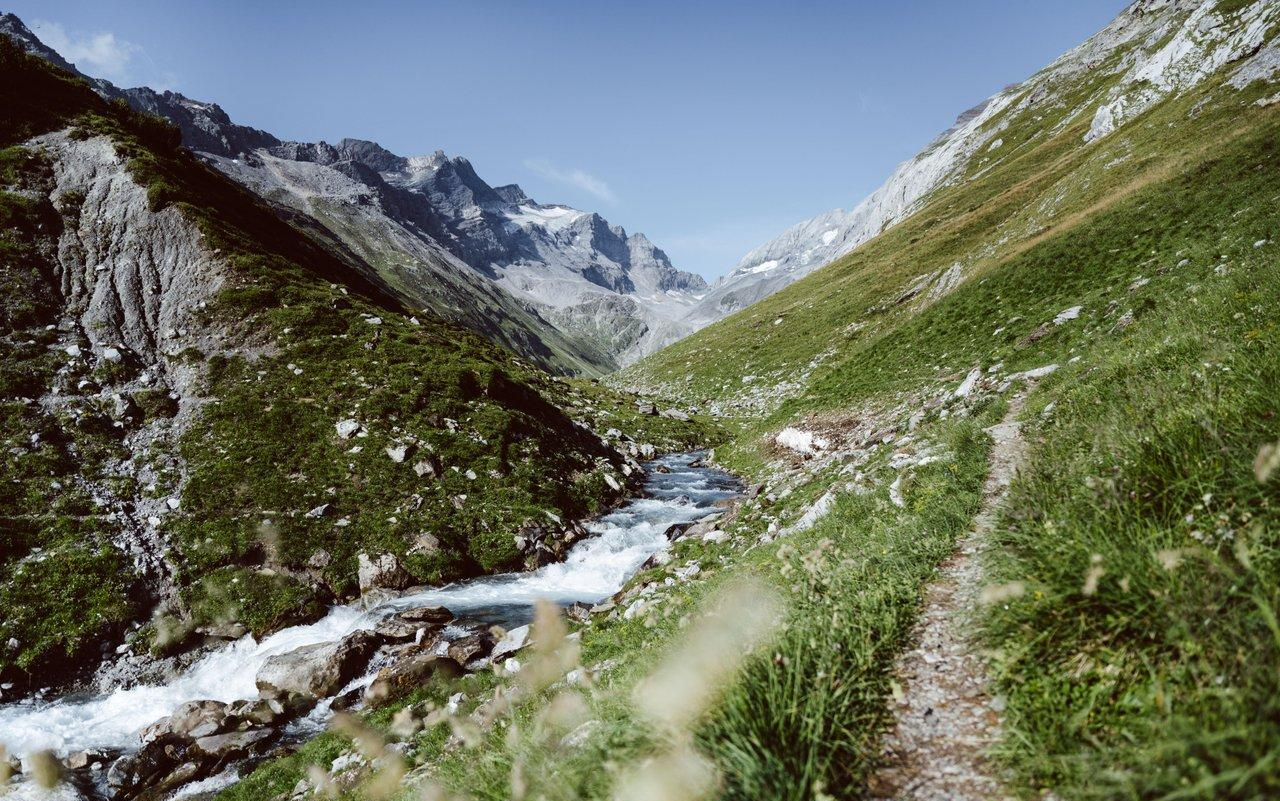
Relax and enjoy – hiking highlights of the Surselva
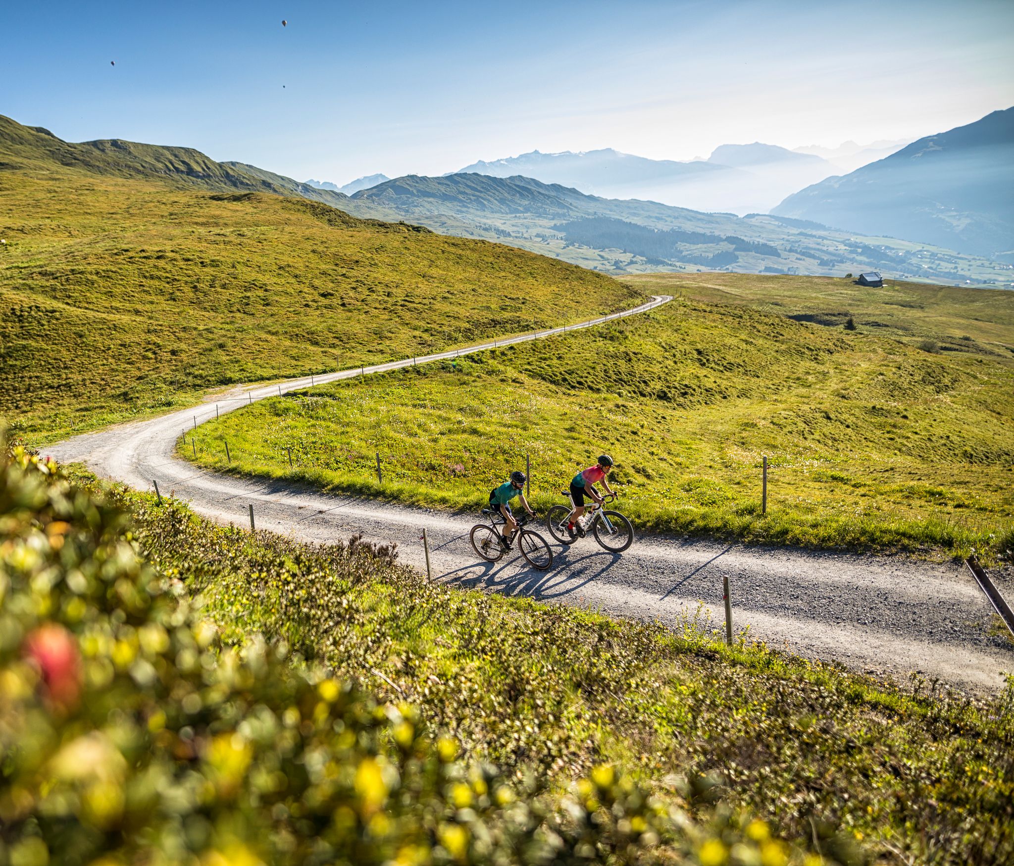
The six most beautiful gravel routes in Graubünden
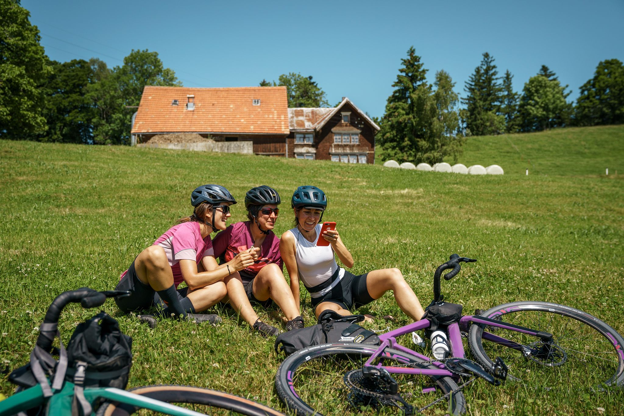
100% Women: essential Switzerland on a gravel bike
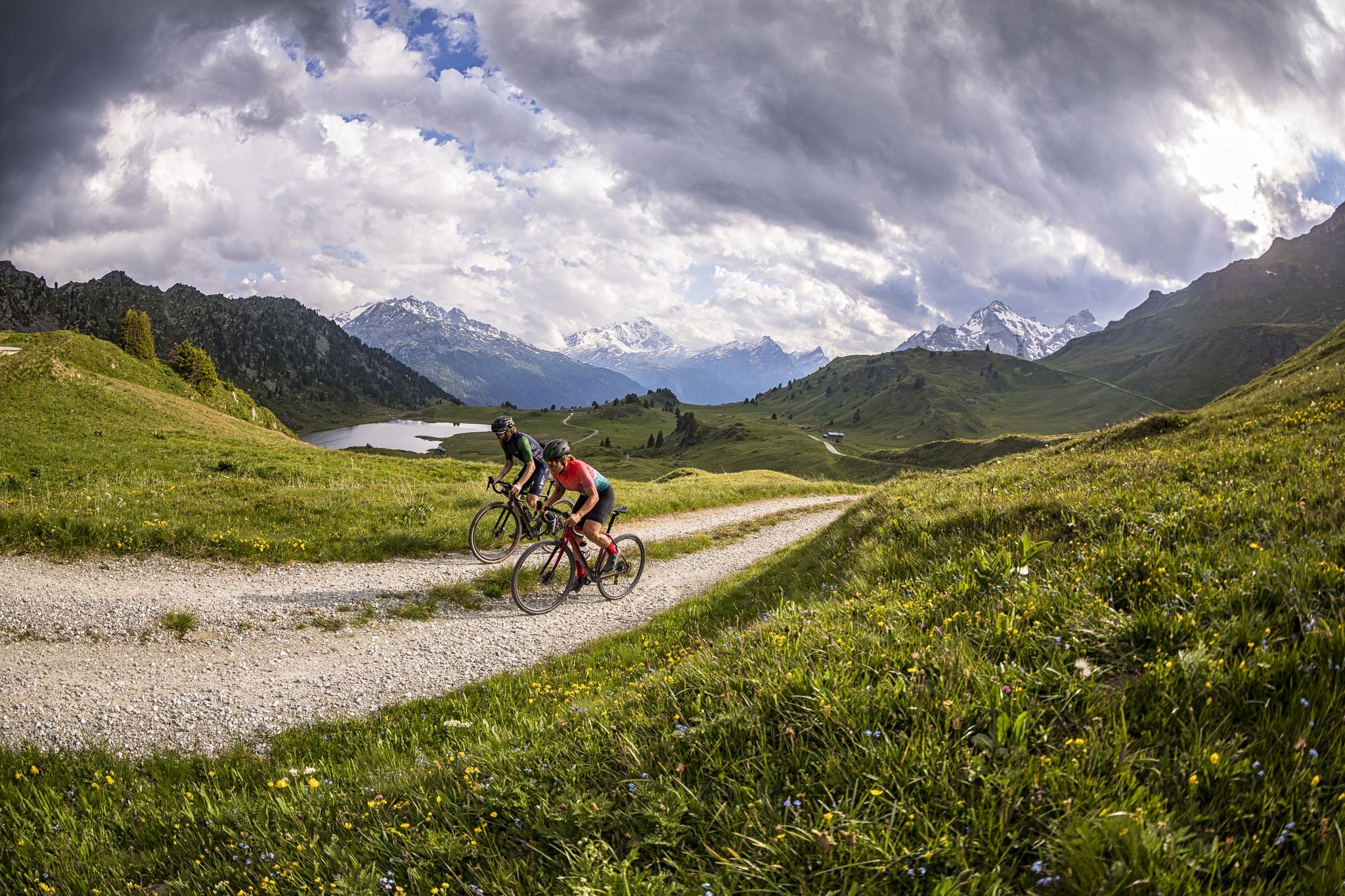
A gravel biking Menu for Switzerland’s Grisons

오래된 길 산티아고 방면 - 야코프스베크 그라우뷘덴
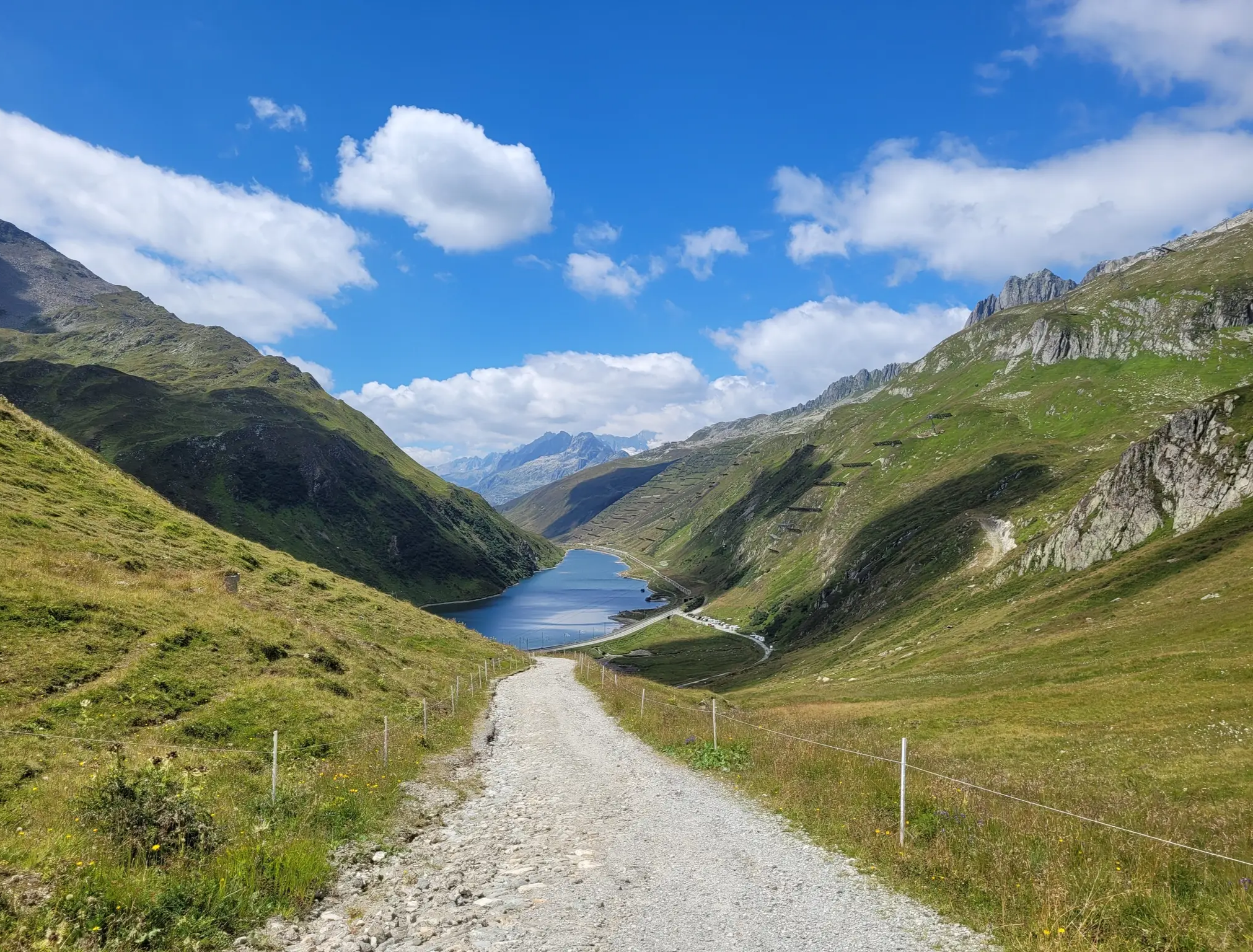
Senda Sursilvana – lungo il Giovane Reno tra natura e tradizione
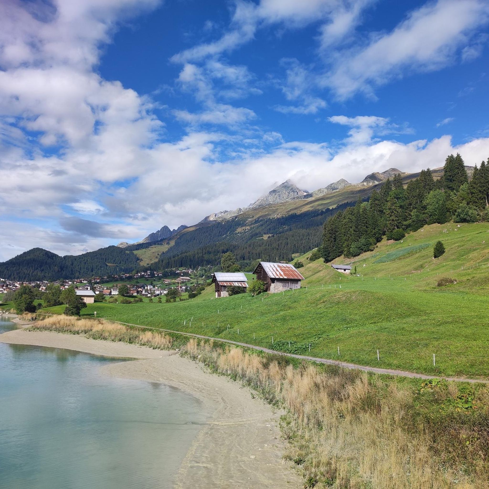
브릴/브리겔스 하이킹
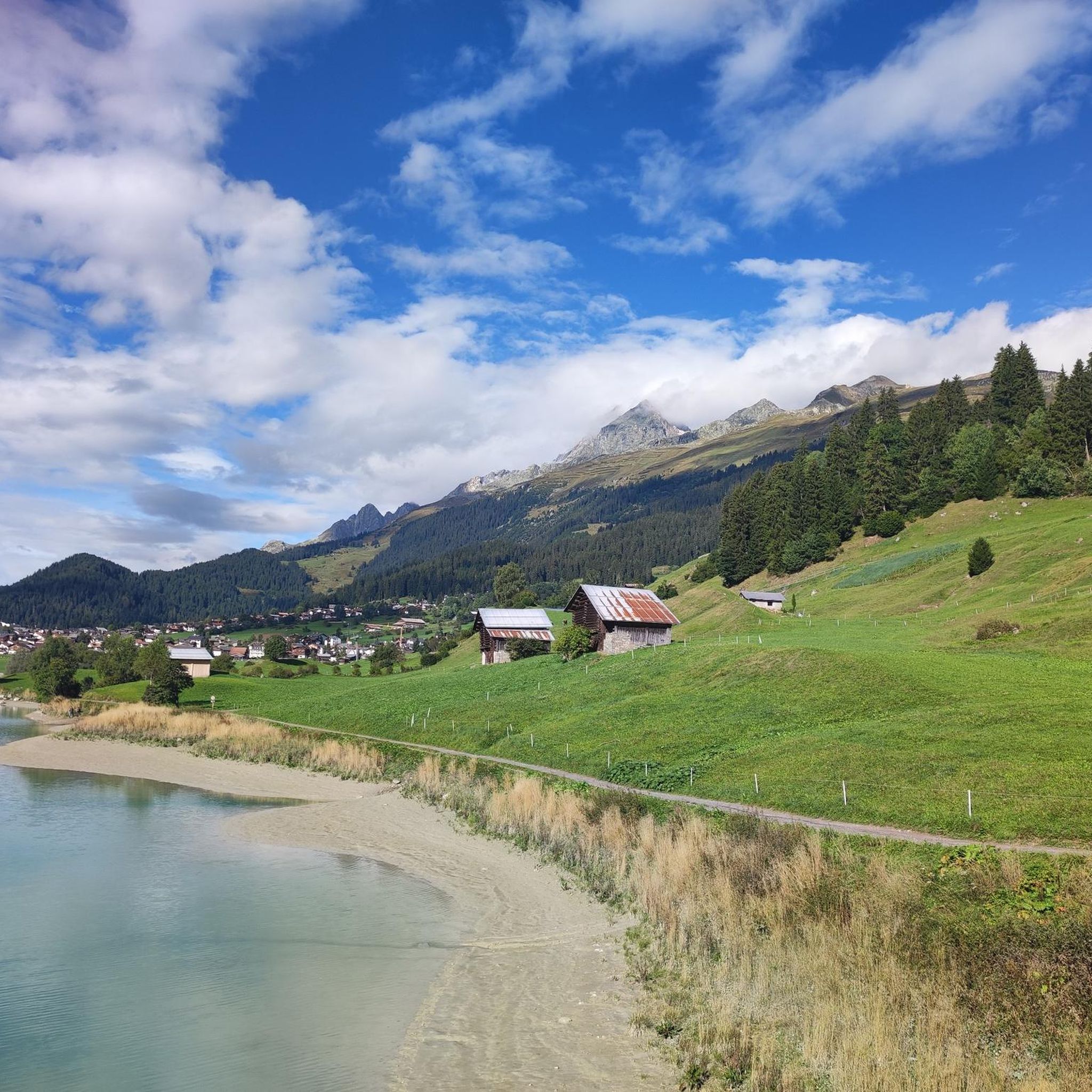
브릴/브리겔스 MTB 트레일
브릴/브리겔스 주변 그래블 라이딩
브릴/브리겔스 주변의 다른 모험


커뮤니티 팁

very pretty here, very pretty
0
1

Great view, several benches to sit and enjoy. I would definitely climb through the forest myself instead of taking the gondola – it's so much more beautiful up there...and the path through the forest is really beautiful.
1
0

While previously you could only get to the Gemsfairenstock by touching the glacier, it is now possible without it. There is a slightly exposed section on the ascent, but it is secured with chains.
0
0

Good for taking off with a paraglider. Great view of the Tödi!
0
0

Exposed area well secured with chain
1
0

Fisetenpass 2023 m The Fisetenpass is a mountain pass in the municipality of Spiringen (Urnerboden exclave) in the canton of Uri. Its pass is at an altitude of 2036 meters above sea level between the Gemsfairenstock (2971m) in the southwest and the Fisetengrat or the Chamerstock (2123m) in the east. The easiest way to reach the pass is to take the mountain cable car from Urnerboden to the Fisetengrat mountain station and from there in a few minutes to the top of the pass. You hike over the pass from the Urnerboden to the Fiseten area and on to the Claridenhütte and Tierfehd. The specified hiking time from the Fisetenpass to the Claridenhütte is 2h40min, down to Linthal 4h55min and also down the valley to the Urnerboden 3h10min. In a four-hour mountain hike from the top of the pass you can also reach the Klausen Pass (Clariden high-altitude trail). Text / source: Fuorcla.ch https://fuorcla.ch/fisetenpass/
14
0

Simply super nice up there, starting point for the SAC huts Planura 2947 m above sea level, Clarieden hut 2453 m above sea level and the Fridolinshütte at 2111 m above sea level, which we renovated with the construction company Rüesch AG. At that time there was still dear Gabi Aschwanden Hütten Wärtin, who cooked and cared for us for almost 4 months at a time. The beautiful hut is the starting point for a tour up to the most beautiful Glarus mountain, the Tödi.
1
0
브릴/브리겔스 주변에서 가장 인기 있는 명소


더 살펴보기
이 가이드를 통해 브릴/브리겔스 주변의 더 놀라운 정상들을 확인해보세요:
