브릴/브리겔스에서 가장 멋진 20개의 천연기념물
천연기념물을 방문하여 브릴/브리겔스의 아름다운 풍경을 만나보세요. 브릴/브리겔스에 있는 20
개의 천연기념물과 상세 정보를 살펴본 후에 방문하고 싶은 천연기념물을 다음 모험 계획에 추가해보세요!
마지막 업데이트: 10월 13, 2026


이런 장소를 발견하려면 지금 가입하세요
최고의 싱글 트랙, 봉우리 및 다양한 흥미로운 야외 장소에 대한 추천을 받아보세요.


베르글리스튀버 폭포
하이라이트 • 폭포
번역자 Google •
팁에 의해

무료로 가입하여 브릴/브리겔스 주변의 더 많은 자연 기념물을 발견하세요.
이미 komoot 계정이 있나요?
오늘 무료 계정으로 시작하세요
다음 모험이 기다리고 있어요.
브릴/브리겔스 주변 인기 장소

Winter Magic in the Surselva – peace, space and pure nature
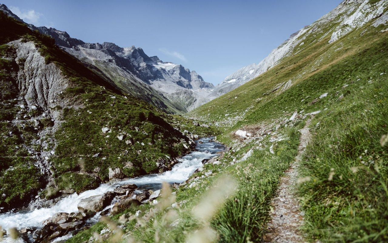
Relax and enjoy – hiking highlights of the Surselva
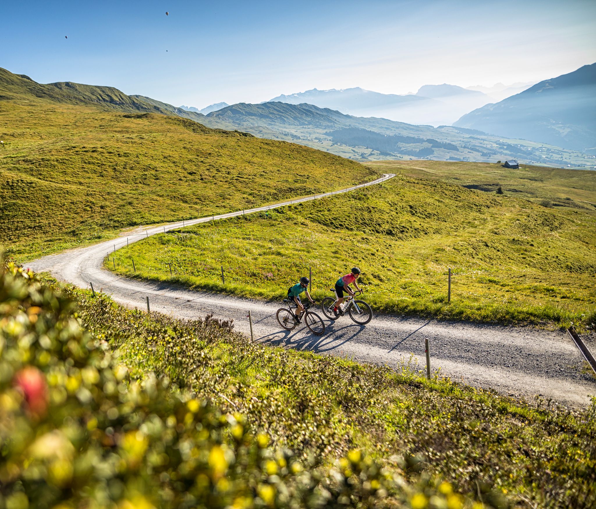
The six most beautiful gravel routes in Graubünden
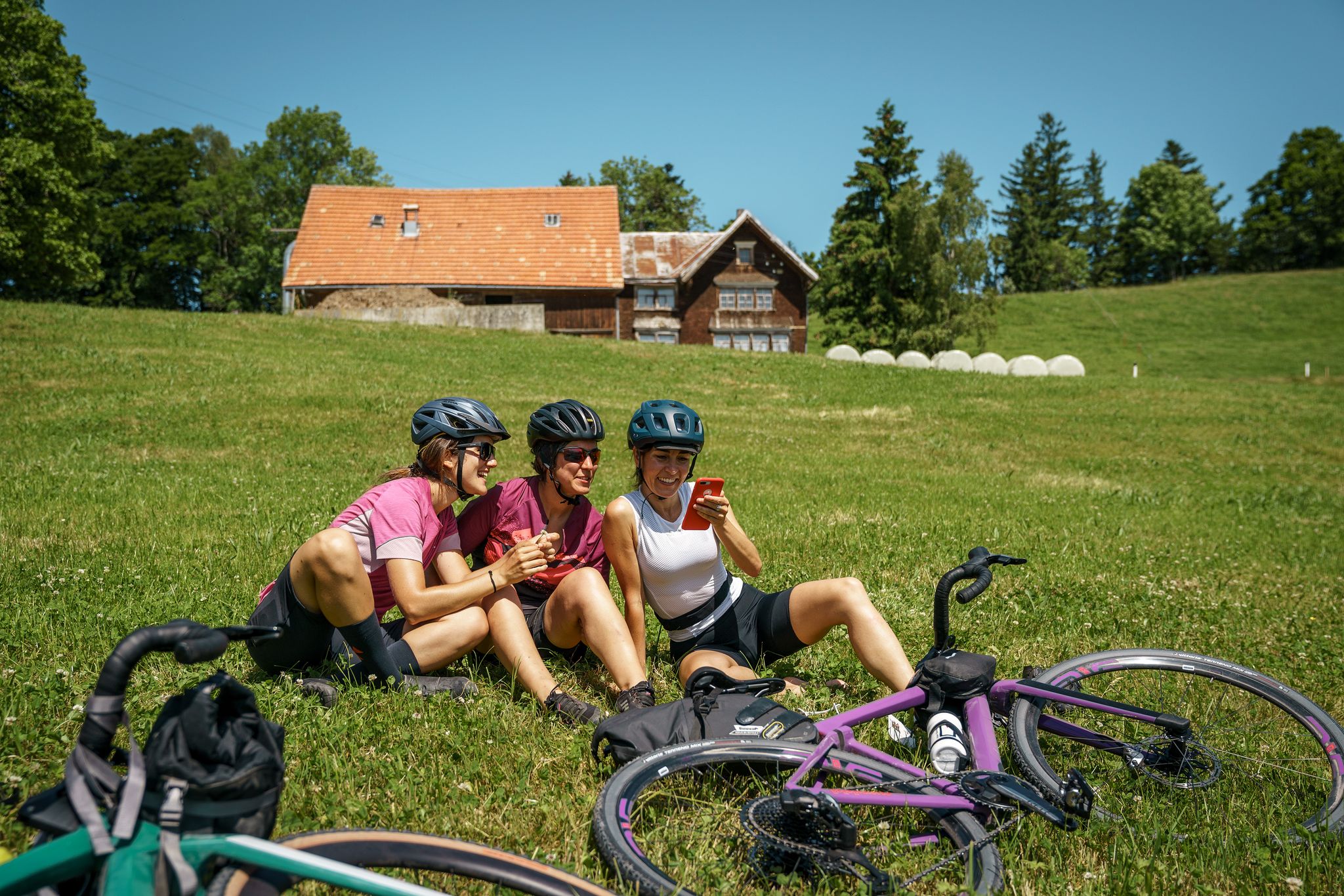
100% Women: essential Switzerland on a gravel bike
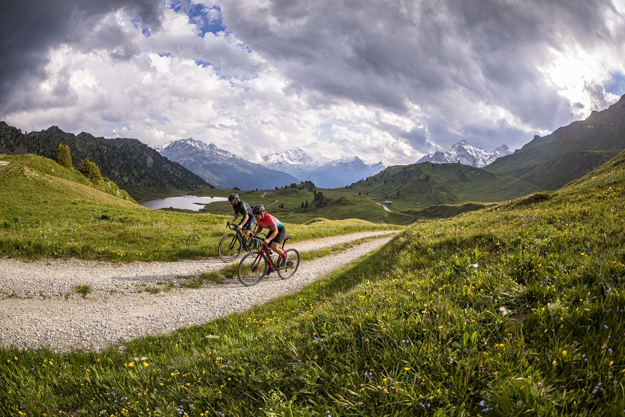
A gravel biking Menu for Switzerland’s Grisons

오래된 길 산티아고 방면 - 야코프스베크 그라우뷘덴
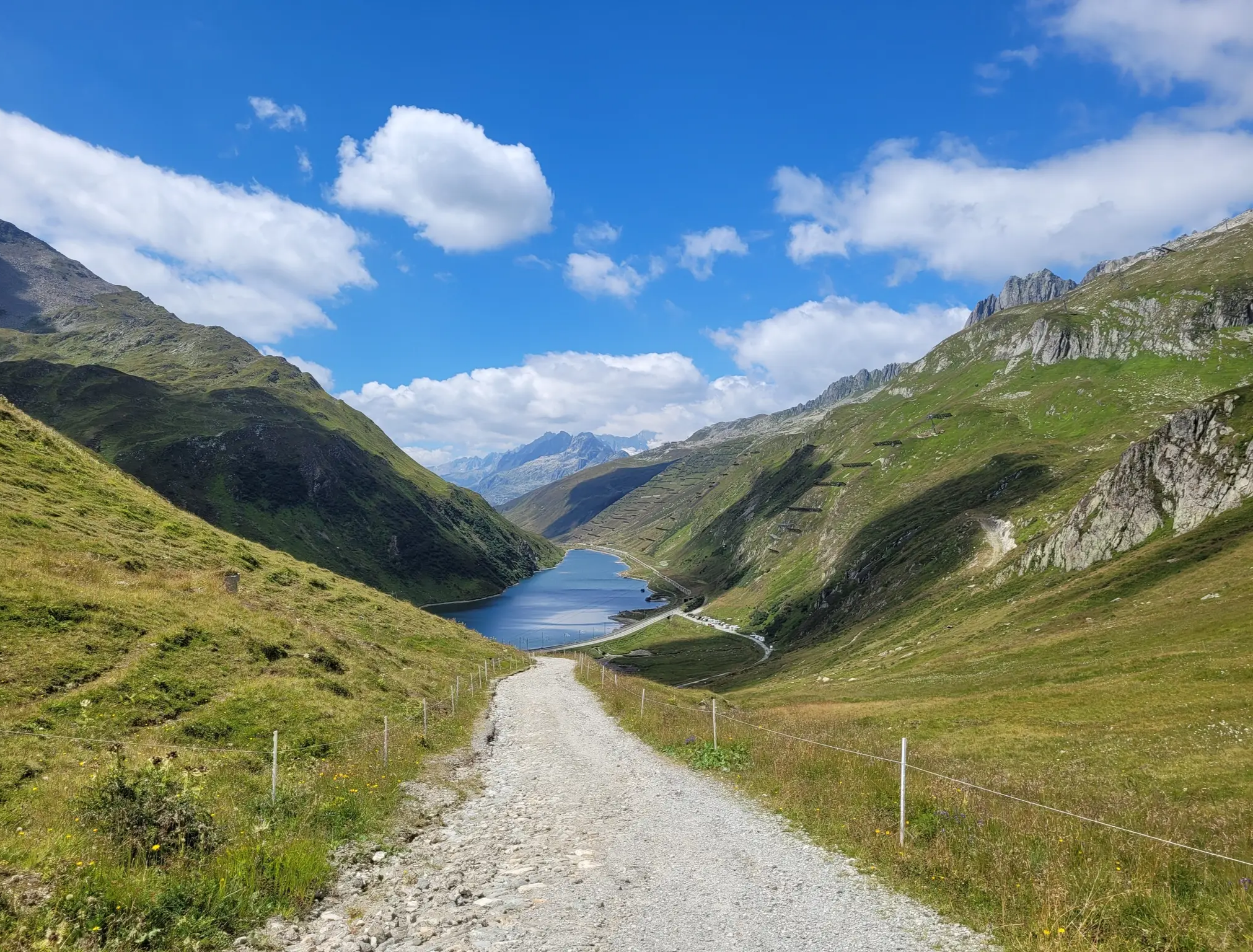
Senda Sursilvana – lungo il Giovane Reno tra natura e tradizione
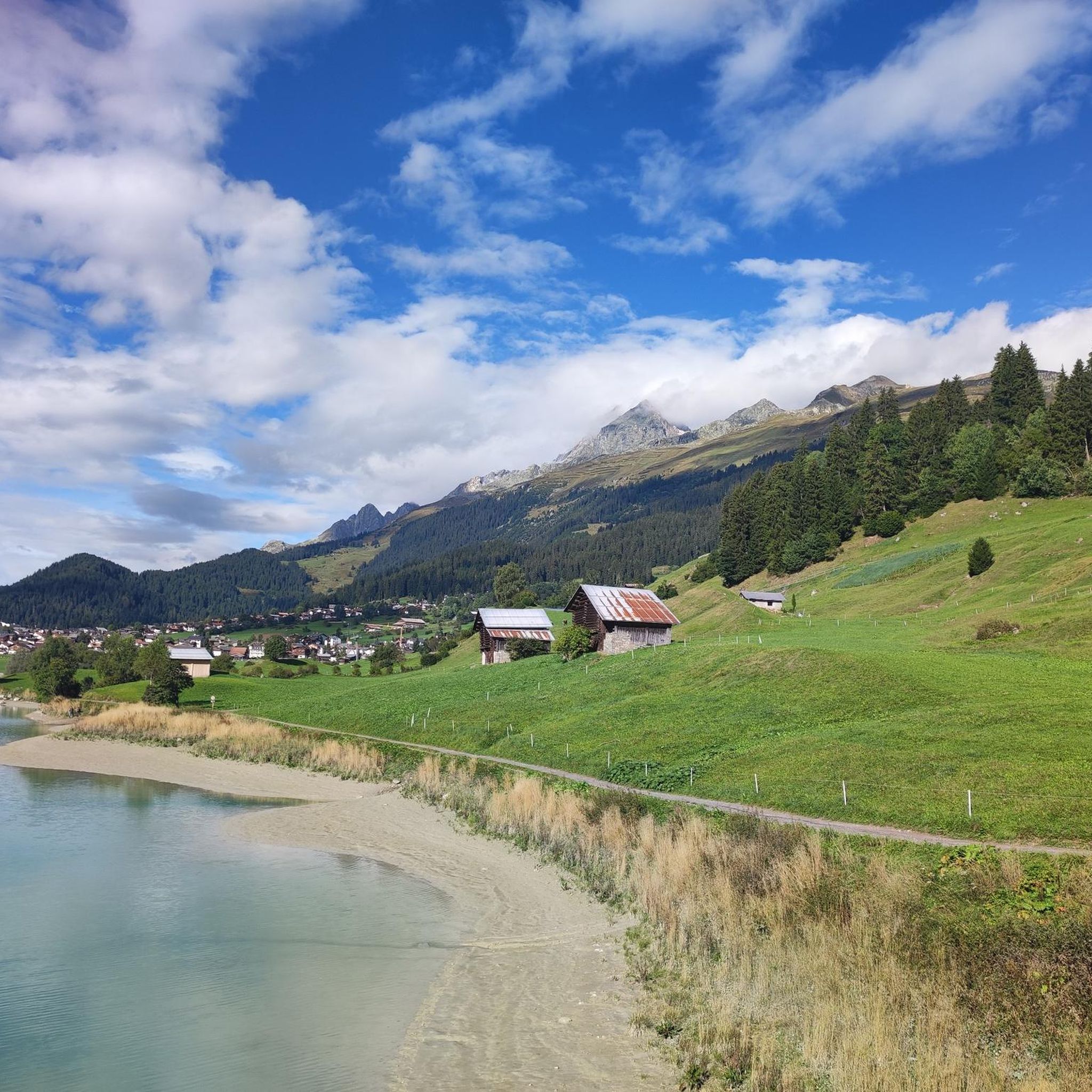
브릴/브리겔스 하이킹
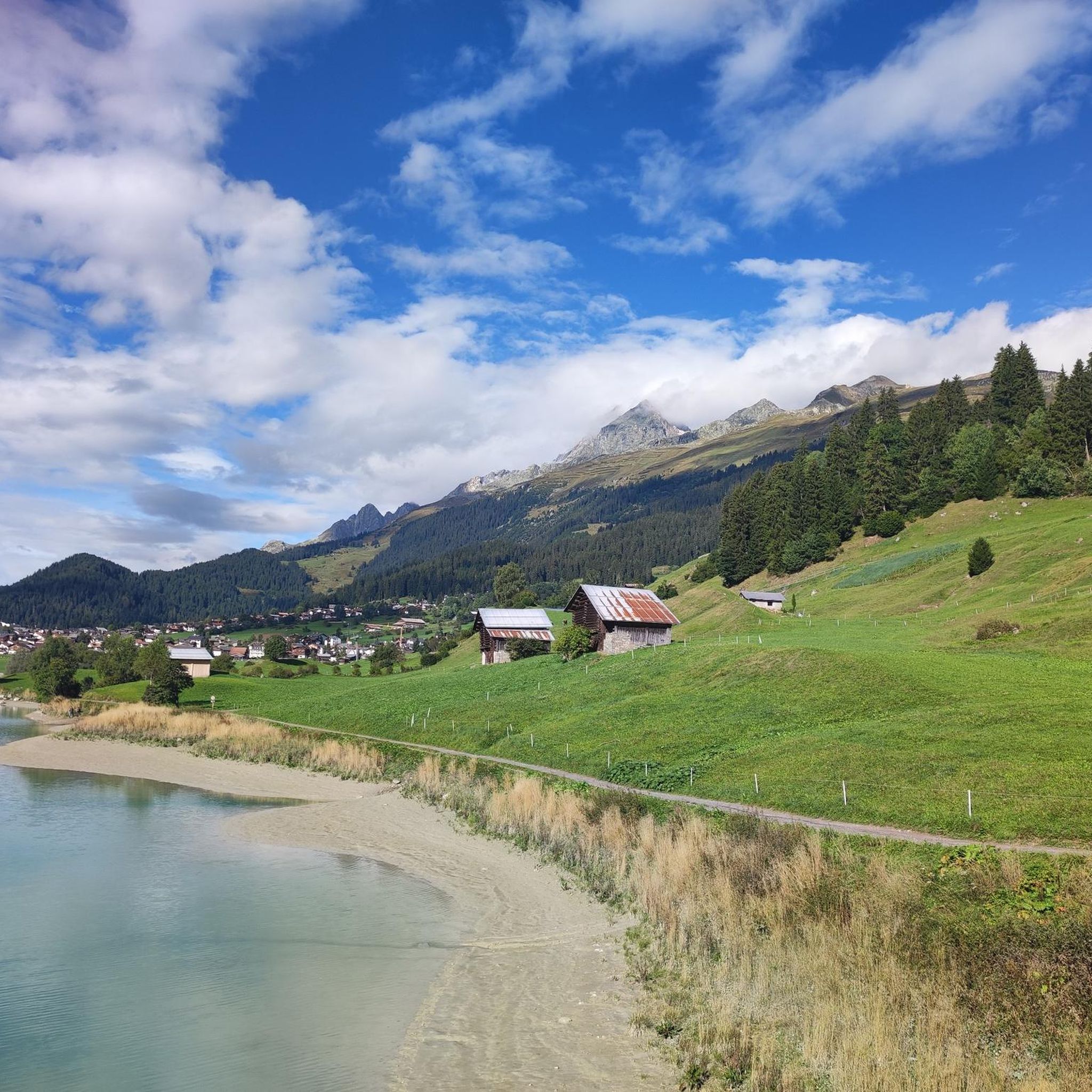
브릴/브리겔스 MTB 트레일
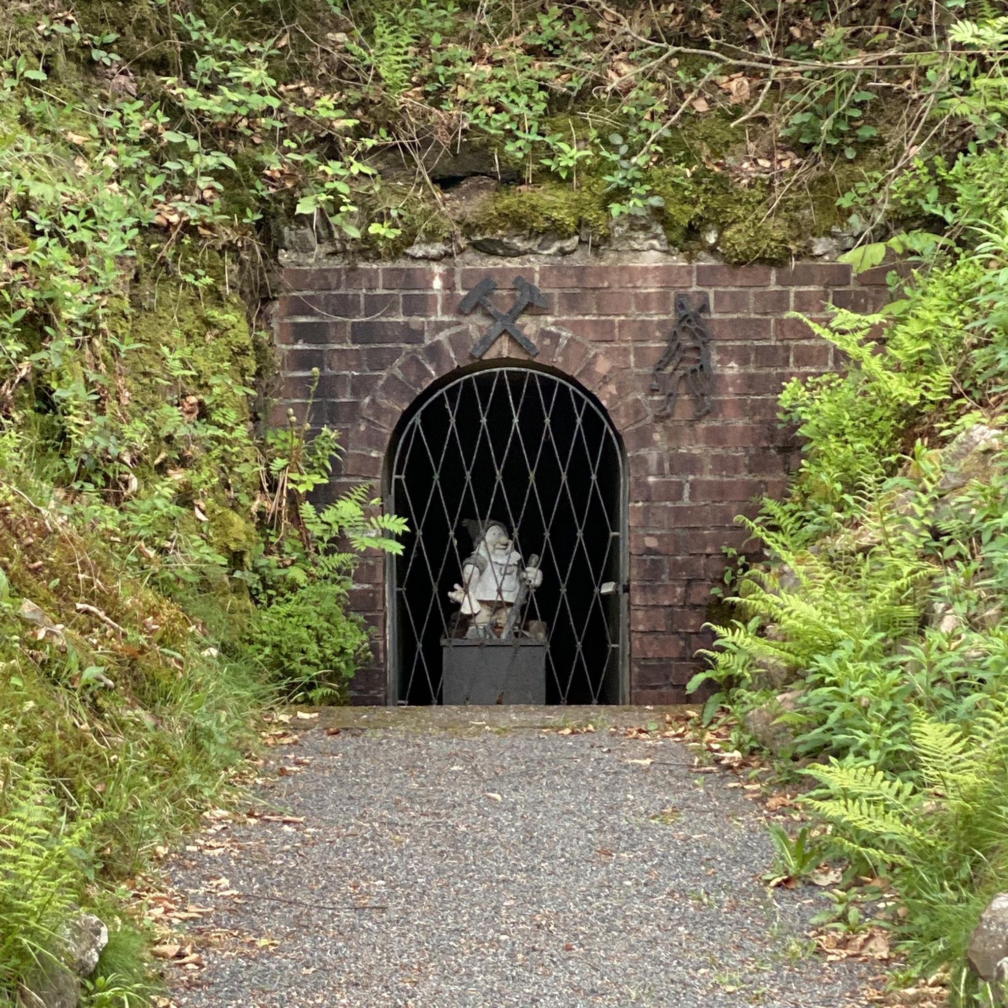
브릴/브리겔스 주변 그래블 라이딩
브릴/브리겔스 주변의 다른 모험


커뮤니티 팁


Lag da Pigniu, 또는 Panixersee라고도 불리는 이 호수는 인상적인 알프스 산악 풍경 속에 아름답게 자리 잡고 있습니다. 터키석 빛의 저수지, 가파른 절벽, 호수 뒤편의 장엄한 폭포는 이 장소를 특별한 하이킹 목적지로 만듭니다. 폭포 근처에는 테이블과 벤치가 있는 아름다운 바비큐 및 피크닉 장소가 있어 자연 속에서 아늑한 휴식을 취하기에 이상적입니다. 중요: 호수 주변의 길 한쪽이 현재 폐쇄되었습니다. 따라서 현재로서는 완전한 일주가 불가능합니다. 폐쇄 조치를 반드시 준수해야 합니다. 제한에도 불구하고 Panixersee로의 여행은 가치가 있습니다. 특히 폭포와 고요하고 인상적인 산악 경관은 방문을 보람 있게 만듭니다.
0
0

웅장한 바위 벽이 호수 주변을 둘러싸고 있으며 독특한 색깔을 띠고 있습니다. Lag da Pigniu는 확실히 방문할 가치가 있습니다! 자전거로 매우 쉽게 갈 수 있습니다.
0
0


Cold lake great for cooling feet and a great place to take a break with a view of the glacier and the mountains
1
0

Griessseeli is always beautiful. This time it wasn't frozen. The colors were more grayish. They change with the seasons.
1
0

The Muttsee (formerly Mutten See, Muttensee) is a reservoir on the Muttenalp in the southernmost part of the municipality of Glarus South in the canton of Glarus in Switzerland.
2
0
In 1957, the newly founded Kraftwerke Linth-Limmern AG (KLL) began to realize the power plants that had been planned since the beginning of the 1940s by the Nordostschweizerische Kraftwerke (NOK), into which the Muttensee was to be integrated.
2
0
브릴/브리겔스 주변에서 가장 인기 있는 명소


더 살펴보기
브릴/브리겔스 주변의 최고의 동굴을 찾기 위해 이 가이드를 확인해보세요:
