하일리겐베르그에서 가장 멋진 4개의 산길
하일리겐베르그에서 가장 멋진 산길을 아래에서 살펴보세요. 풍경을 감상하기에도 좋고, 오르막길/내리막길을 따라 걷기에도 좋은 곳이랍니다. 커뮤니티가 특별 도움을 통해 공유한 콘텐츠인 만큼 믿을 수 있는 정보이니 마음에 드는 산길이 있다면 바로 다음 모험 계획에 추가해서 바로 방문해보세요.
마지막 업데이트: 10월 18, 2026
Col des Pandours
하이라이트 • 산악 고개
번역자 Google •
팁에 의해

Grendelbruch 마을
하이라이트 • 정착지
번역자 Google •
팁에 의해

이런 장소를 발견하려면 지금 가입하세요
최고의 싱글 트랙, 봉우리 및 다양한 흥미로운 야외 장소에 대한 추천을 받아보세요.
Col du Jaegertannel
하이라이트 • 산악 고개
- Other direction is Grendelbruch
번역자 Google •
팁에 의해


오늘 무료 계정으로 시작하세요
다음 모험이 기다리고 있어요.

커뮤니티 팁

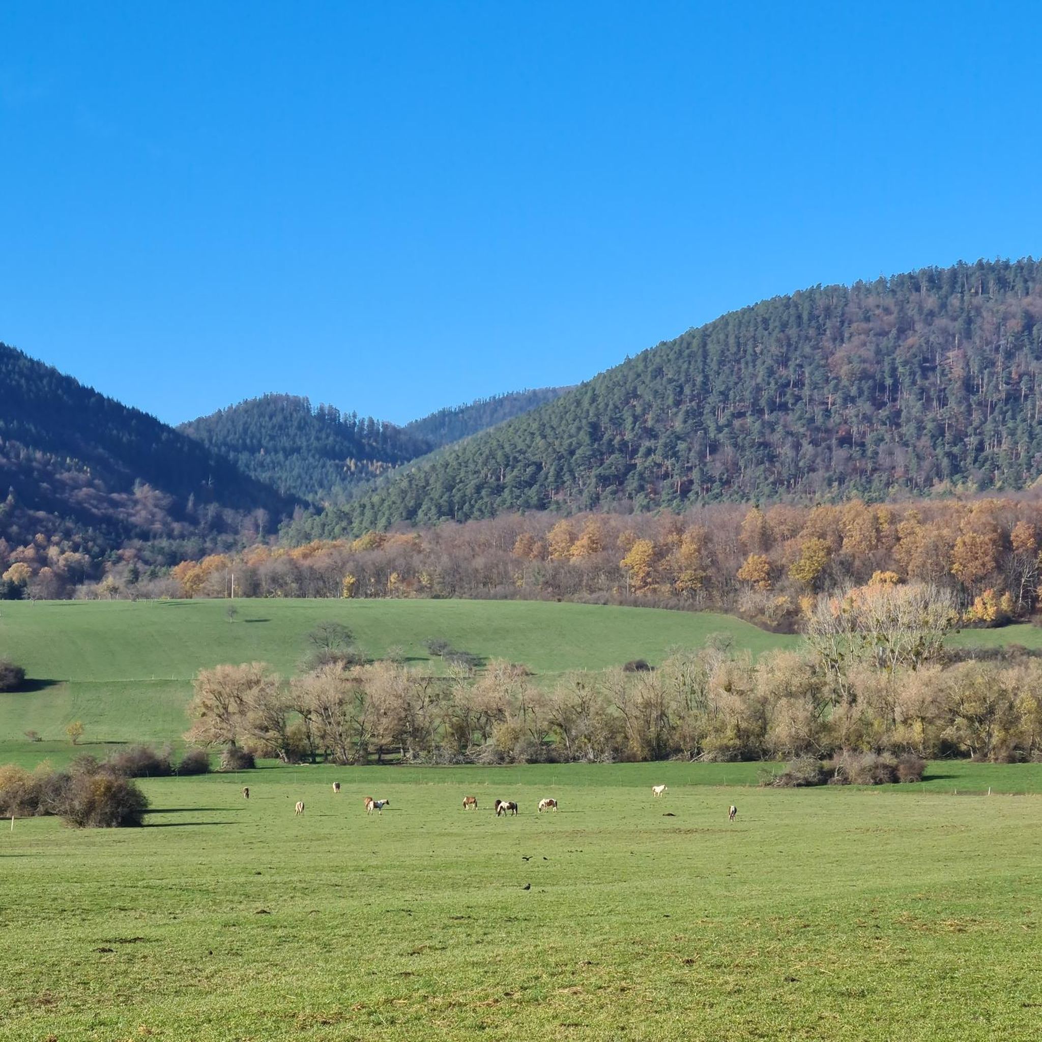
Very nice to ride: moderate gradient, little traffic.
0
1

Shelter in the middle of the forest. The nearest water source is about 1 km away.
1
0

Beautiful crossroads with a simple shelter... from here you can climb to Rocher Mutzig or find your way towards Le Narion
2
0


The Col des Pandours from Oberhaslach is 11.6 km long with a total drop of 409 m. The average gradient is 3.5% with maximum gradients of 11%.
4
1

Pretty rough (but beautiful) descent on the forest road to Oberhaslach.
0
0

At this stage of the hike we are at the end of the climb, beginning of a 3km descent on a slightly technical single track.
0
0

Starting point for many hikes, the pass has several areas where you can park your car. By bike, it's a nice challenge to climb either from Wangenbour or from Nierderhaslach. A few routes lead there via forest roads in the region, for those who are not afraid of gravel and stones. In itself, the pass does not offer many places to rest and has no view.
1
0
하일리겐베르그 주변에서 가장 인기 있는 명소


더 살펴보기
이 가이드를 통해 더 많은 장대한 산악 통과를 확인해보세요 하일리겐베르그 주변:
