경로

플래너

기능

업데이트

App

로그인 또는 가입

앱 다운로드

로그인 또는 가입

경로
Places to see
Lakes
스위스
동부 스위스
세인트 갈렌
베르덴베르크

세벨렌

세벨렌‬에서 가장 멋진 ‪20‬개의 호수

세벨렌에서 가장 멋진 호수를 방문하고 싶나요? 호숫가의 고요한 분위기를 느끼거나 날씨가 따뜻한 날 호수에 발을 살짝 담글 수 있다면 얼마나 좋을까요? Komoot 커뮤니티가 추천한 세벨렌의 주요 호수를 아래에서 살펴보고, 다음 모험 때 직접 찾아가보세요!

마지막 업데이트: 8월 29, 2026

발렌제 호수

하이라이트 • 호수

The Walensee is a lake in the eastern foothills of the Alps in Switzerland and is located in the cantons of St. Gallen and Glarus. Wikipedia
Average depth: 105 m …

번역자 Google •

에 의해

라이딩 보기

휴대폰으로 전송

저장

갱글레제

하이라이트 • 호수

Gänglesee im Steg
Gänglesee는 Rätikon에 위치하며, Steg은 해발 1300m에 있는 리히텐슈타인 알프스 지역에 있습니다. 이 호수는 평화와 휴식의 장소이며 가족과 자연 애호가들에게 아름다운 여행지입니다.
Gänglesee는 Valünerbach에 의해 흐릅니다. Steg 저수지가 …

번역문 보기

에 의해

저장

이런 장소를 발견하려면 지금 가입하세요

최고의 싱글 트랙, 봉우리 및 다양한 흥미로운 야외 장소에 대한 추천을 받아보세요.

무료 회원 가입

Werdenberg의 구시가지, 성과 호수

하이라이트 • 역사적 장소

Werdenberg with historical city rights
Werdenberg is a town with historical town charter in the eastern Swiss canton of St. Gallen. The town of Werdenberg belongs to the municipality of …

번역자 Google •

에 의해

저장

포알프제

하이라이트 • 호수

The idyllic Voralpsee is located at 1,123 meters above sea level in Grabs in the canton of St. Gallen. Nestled in a hollow on the Grabserberg, amidst alpine meadows and …

번역자 Google •

에 의해

저장

Steg 저수지

하이라이트 • 호수

The footbridge and the Sücka are always worth a trip.

번역자 Google •

에 의해

저장

무료로 가입하여 세벨렌 주변의 더 많은 호수를 발견하세요.

무료 회원 가입

이미 komoot 계정이 있나요?

오늘 무료 계정으로 시작하세요

다음 모험이 기다리고 있어요.
로그인 또는 가입하기

세벨렌 주변 인기 장소

세벨렌 사이클링

세벨렌 로드 사이클링 경로

세벨렌 하이킹

세벨렌 MTB 트레일

세벨렌 등산

세벨렌 러닝 트레일

세벨렌 주변 그래블 라이딩

커뮤니티 팁

Frank 🚲 👈
6월 26, 2025, Walensee

Incredibly beautiful view over the great lake 👍😊

번역: Google

1

0

The view and the great colors of the water change again and again, an impressive landscape 👍⛰️

번역: Google

2

0

The idyllic Voralpsee is located at 1,123 meters above sea level in Grabs in the canton of St. Gallen. Nestled in a hollow on the Grabserberg, amidst alpine meadows and forests, this natural lake is located between the Alvier region and the Churfirsten mountains. At just under 550 meters long and 250 meters wide, the Voralpsee is rather elongated. Its depth is up to 12 meters. The Voralpsee can be comfortably circumnavigated on a beautiful walking path. Due to its easy accessibility, the lake has become a popular destination for many lake lovers: hikers, walkers, barbecue-loving families, bikers, and mountain lake swimmers visit the lake in large numbers during the warmer months. In the summer months, swimming in the Voralpsee offers the necessary refreshment. Source: https://www.grabs.ch/freizeitattraktivestellen/6113

번역: Google

9

0

Lutzi_P
8월 18, 2024, Walensee

Very nice, well-developed cycling path with wonderful panoramic views of Lake Walen.

번역: Google

1

0

Lutzi_P
5월 13, 2024, Steg Reservoir

A small, pretty hamlet with all the necessary amenities for a relaxing stay or as a starting point for numerous longer or shorter hikes.

번역: Google

1

0

Paul
3월 25, 2024, Walensee

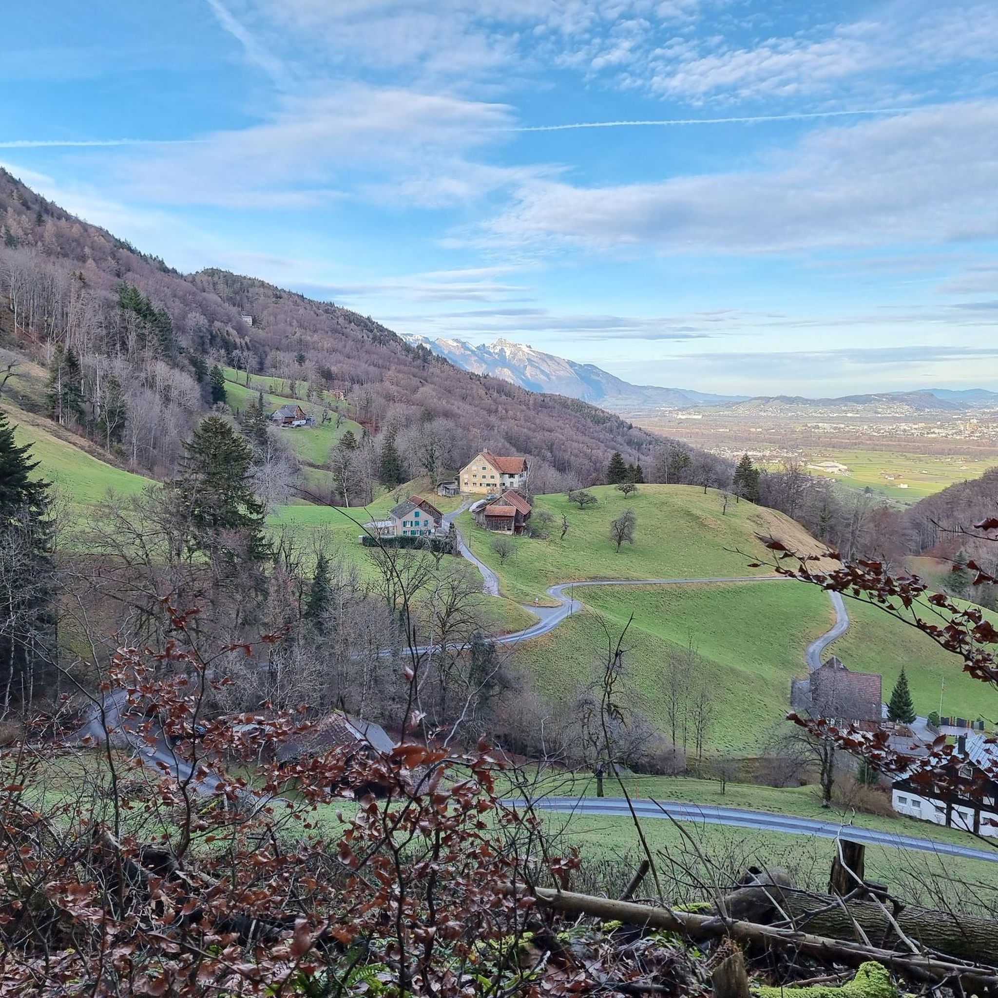
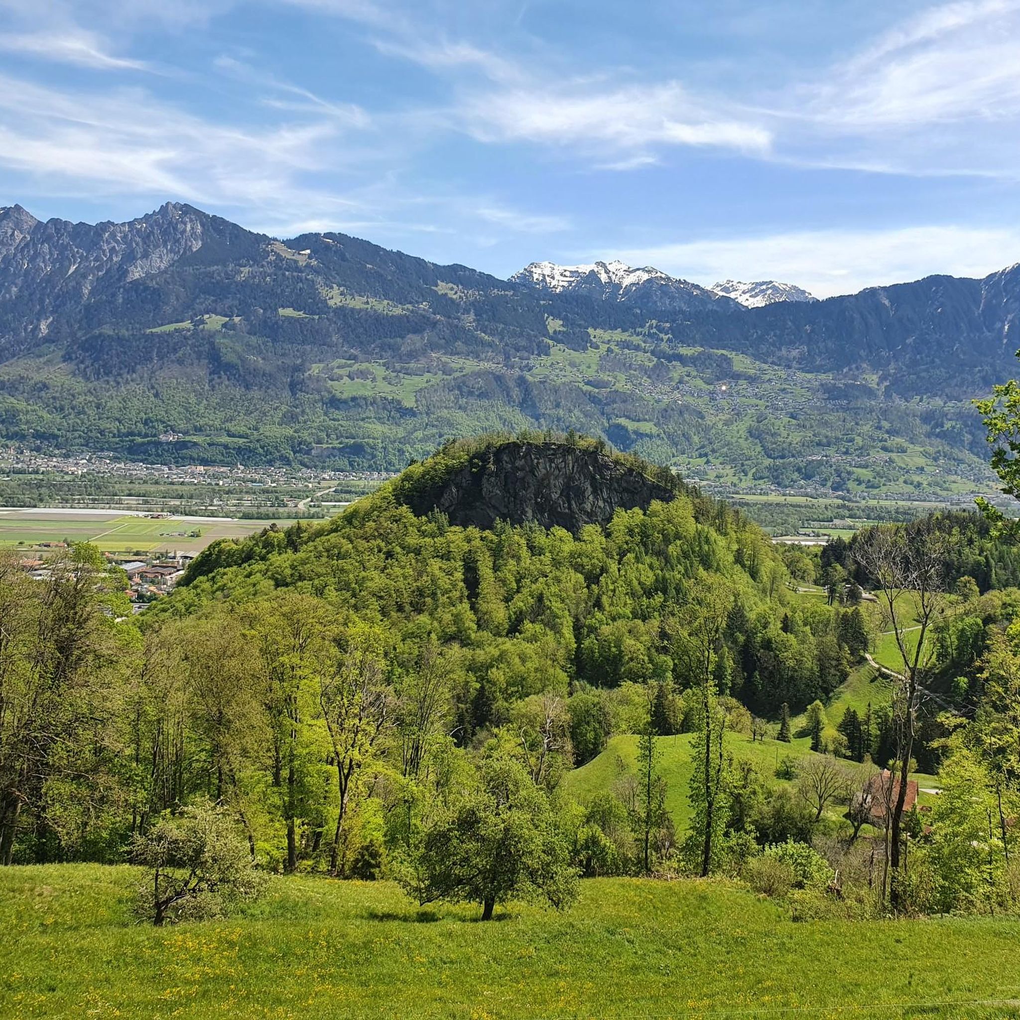
In some places the view of the lake and the mountains opposite (Churfirsten, for example) is simply magnificent! You feel like you're in a Norwegian fjord...

번역: Google

1

0

Rear part of the Steg reservoir, with a great view of the Valünatal valley and the mountains behind it.

번역: Google

1

0

A. Villiger
9월 30, 2023, Voralpsee

As described several times above: very scenic lake, nestled between respectable mountains, accessible from Wilehaus via Oelberg or from Gamperfin (ski house) (on foot, by bike or even by car (PP shortly before).

번역: Google

1

0

세벨렌 주변에서 가장 인기 있는 경로

세벨렌 사이클링

세벨렌 주변에서 가장 인기 있는 명소

Places to see

Store rating

komoot 모바일 앱으로 영감을 받아보세요

무료 komoot 계정로 끝없는 야외 모험을 손쉽게 찾고, 맞춤 설정하며 길안내할 수 있어요.

또는

지금 komoot에 가입하세요

Store rating

더 살펴보기

세벨렌 주변에서 완벽한 호수를 아직 못 찾으셨나요? 이 지역의 가이드를 확인하여 더 아름다운 장소를 찾아보세요.

그랩젠발트게임와타우

근처 어드벤처 가이드

와타우 즐길거리

background

새로운 정복을 위한 준비를 하세요

무료로 가입하기

탐험하기
경로경로 플래너기능바우처 사용하이킹MTB 트레일로드 사이클링 경로바이크패킹사이트맵
앱 다운로드
소셜 미디어에서 팔로우하기

© komoot GmbH

개인 정보 보호 정책