오테로 데 에레로스에서 가장 멋진 20개의 천연기념물
천연기념물을 방문하여 오테로 데 에레로스의 아름다운 풍경을 만나보세요. 오테로 데 에레로스에 있는 20
개의 천연기념물과 상세 정보를 살펴본 후에 방문하고 싶은 천연기념물을 다음 모험 계획에 추가해보세요!
마지막 업데이트: 11월 15, 2026
푸엔테 데 라 레이나
하이라이트 • 자연 기념물
번역자 Google •
팁에 의해

미라도르 데 로스 포에타스
하이라이트 • 전망대
번역자 Google •
팁에 의해

이런 장소를 발견하려면 지금 가입하세요
최고의 싱글 트랙, 봉우리 및 다양한 흥미로운 야외 장소에 대한 추천을 받아보세요.
푸엔테 데 라 푸엔프리아
하이라이트 • 자연 기념물
번역자 Google •
팁에 의해

오호스 델 리오 모로스
하이라이트 • 강
번역자 Google •
팁에 의해


오늘 무료 계정으로 시작하세요
다음 모험이 기다리고 있어요.

커뮤니티 팁

If the Queen drank this water, it is because it is good and fresh.
0
1

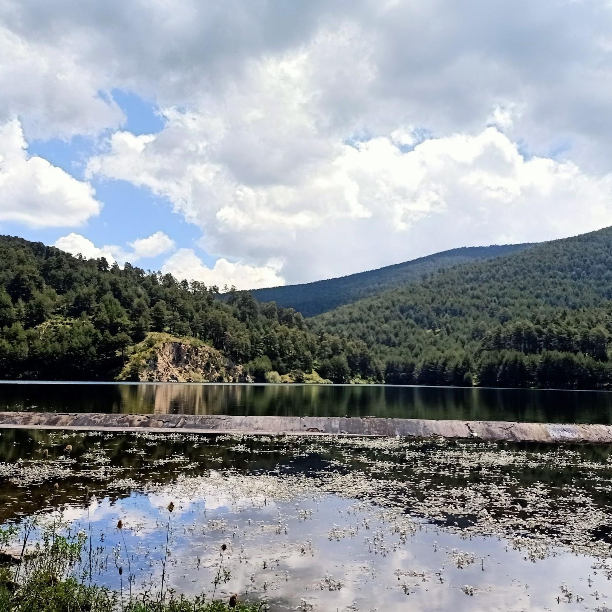
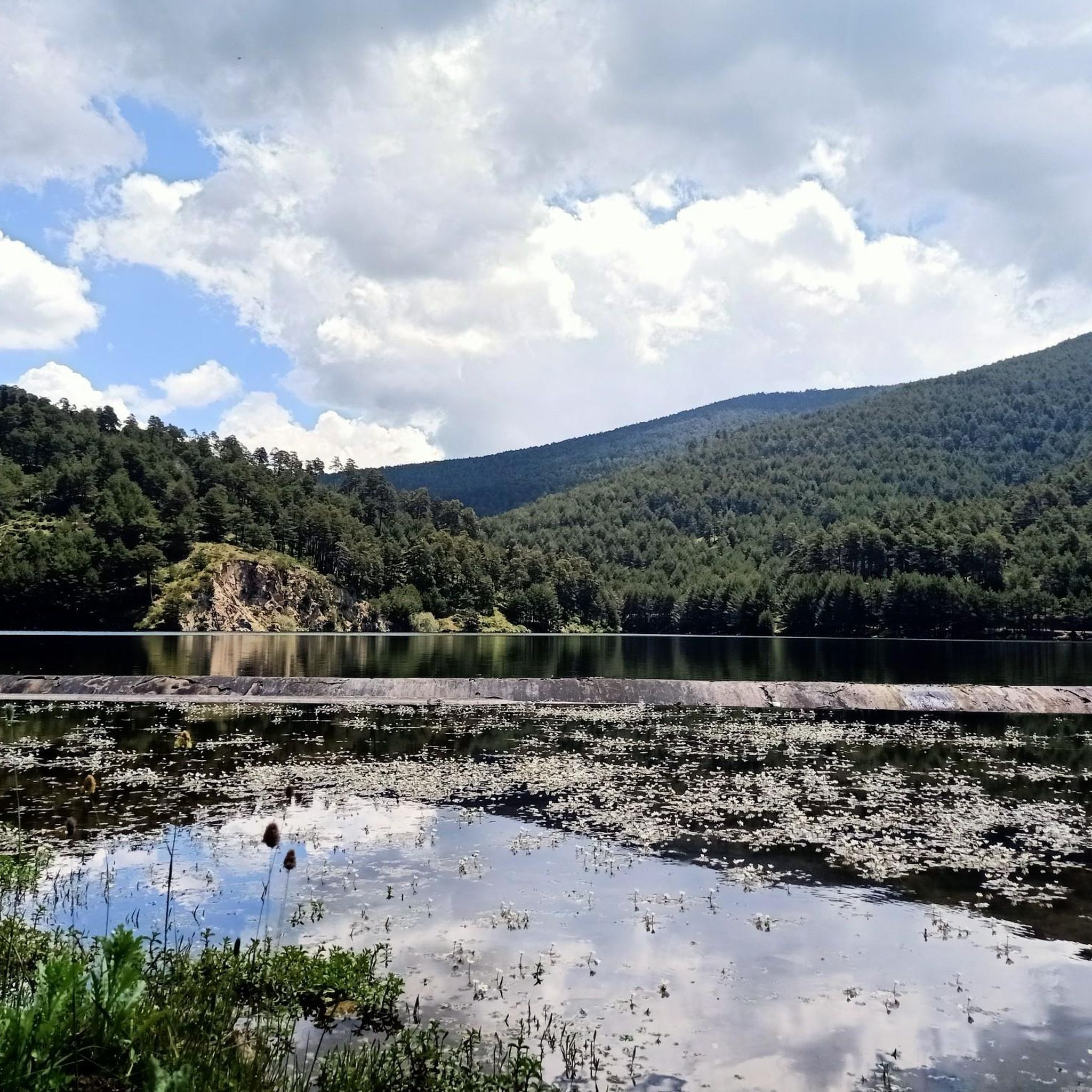
The Fuenfría Fountain is an iconic feature in the Fuenfría Valley, in the Sierra de Guadarrama, near Cercedilla (Madrid). It is important to note that the term "Fuenfría" often refers to both the fountain and the stream that flows from it, as well as the historic mountain pass. It is located in the upper reaches of the Fuenfría stream, which is one of the sources of the Guadarrama River. The Fuenfría spring gives its name to the entire valley and the mountain pass. "Fuenfría" comes from the word "cold fountain," referring to the low temperature of its waters. The Fuenfría area has historically been a crucial pass in the Sierra de Guadarrama, used since Roman times. The Fuenfría Roman Road, which linked Segovia with Titulcia, passed through this valley. Although the spring itself is not of Roman origin, the Fuenfría Pass and the presence of fresh water at this point have been of vital importance to travelers throughout the centuries. In fact, ancient "ventas" or inns, such as Venta de la Fuenfría or Fonfrida, were located at the Fuenfría Pass, offering shelter and supplies to hikers. The Fuenfría Valley is a valuable natural area, part of the Sierra de Guadarrama National Park. The spring and its surroundings are a point of interest on numerous hiking trails. It is important not to confuse it with other "Fuenfría Springs" that may exist in other provinces, such as Segovia or Málaga, as there are several spots with the same name due to the characteristics of their waters. The one in Cercedilla is the best known in the context of the Sierra de Guadarrama and the Roman road.
0
0
Privileged place to drink very fresh water in the middle of any route.
1
0

Fuente de la Reina, modest in terms of flow, but with historical importance. This fountain has satisfied numerous travelers since ancient times.
1
0

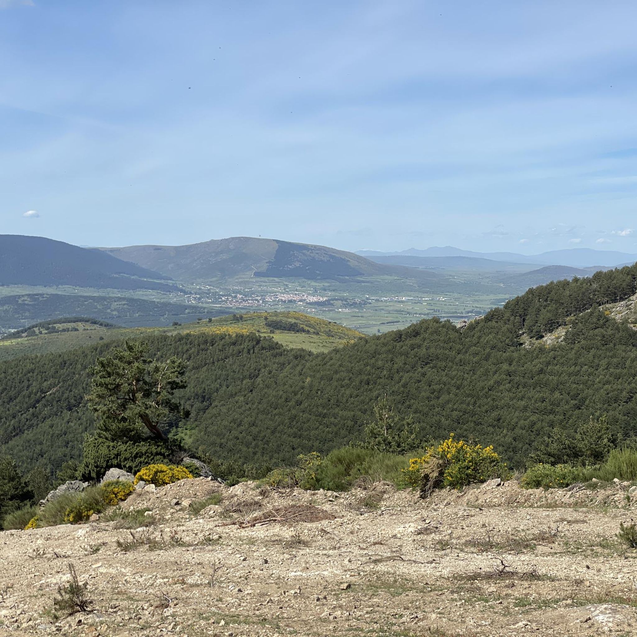
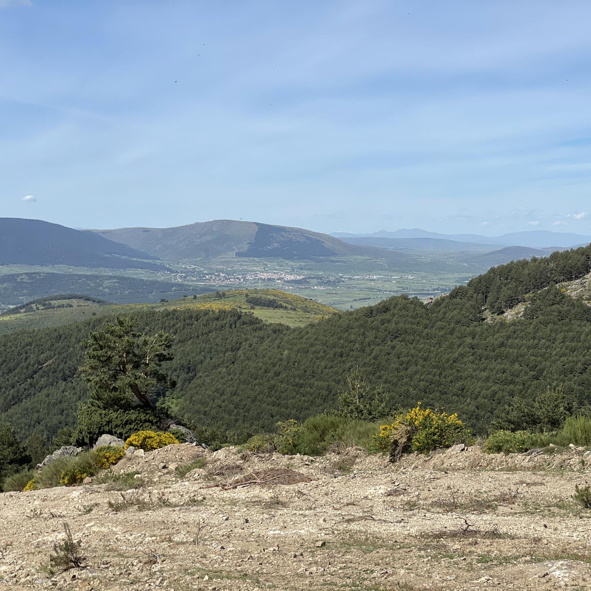
It rises at the final end of a shoulder that protrudes from the main rope of the Guadarrama, just south of the Majalasna peak and a stone's throw from the Navarrulaque meadow, hanging over the abysses of the valley of La Fuenfría and Cercedilla. the symbolism that its installation represented, a quarter of a century ago, and for the panorama it offers (one of the best in Guadarrama) it is worth visiting.
0
0
Fuente la Reina from La Pradera de Navalhorno is a climb in the Castilla y León region. It has a length of 11.1 kilometers and a climb of 476 vertical meters with a slope of 4.3% on average, which implies a difficulty level of 331. The top of the climb is located at 1644 meters. From the Madrid side the climb is done along a mountain track.
0
0

The Mirador de los Poetas, or belvedere of poets in French, takes its name from the meetings that the poet Luis Rosalès organized there. If you need to catch your breath during an outing, take the time to look for the worms carved into the stone while admiring the scenery.
0
0

The Majalasna is, with its 1934 meters high, the lowest summit of the characteristic granite formation of the Seven Peaks. It is also located apart from the rest, in the western wing. The ascent and descent are made on the right side, taking extreme precautions.
4
0
오테로 데 에레로스 주변에서 가장 인기 있는 명소


더 살펴보기
오테로 데 에레로스 주변의 최고의 동굴을 찾기 위해 이 가이드를 확인해보세요:
