케사에서 가장 멋진 20개의 천연기념물
천연기념물을 방문하여 케사의 아름다운 풍경을 만나보세요. 케사에 있는 20
개의 천연기념물과 상세 정보를 살펴본 후에 방문하고 싶은 천연기념물을 다음 모험 계획에 추가해보세요!
마지막 업데이트: 10월 18, 2026
볼바이테 천연 수영장
하이라이트 • 자연 기념물
번역자 Google •
팁에 의해


이런 장소를 발견하려면 지금 가입하세요
최고의 싱글 트랙, 봉우리 및 다양한 흥미로운 야외 장소에 대한 추천을 받아보세요.
Fuente de la Higuera
하이라이트 • 자연 기념물
팁에 의해

차르코 데 라 페롤라
하이라이트 • 호수
번역자 Google •
팁에 의해
무료로 가입하여 케사 주변의 더 많은 자연 기념물을 발견하세요.
이미 komoot 계정이 있나요?
오늘 무료 계정으로 시작하세요
다음 모험이 기다리고 있어요.



커뮤니티 팁

The Chorrador de Navarrés, also known as Los Chorradores, is one of the most spectacular natural sites in the interior of the Valencian Community, ideal for a refreshing getaway in contact with nature.
7
0

Wow how beautiful! And the trip itself is what it's all about. What a beautiful rugged area.
2
0


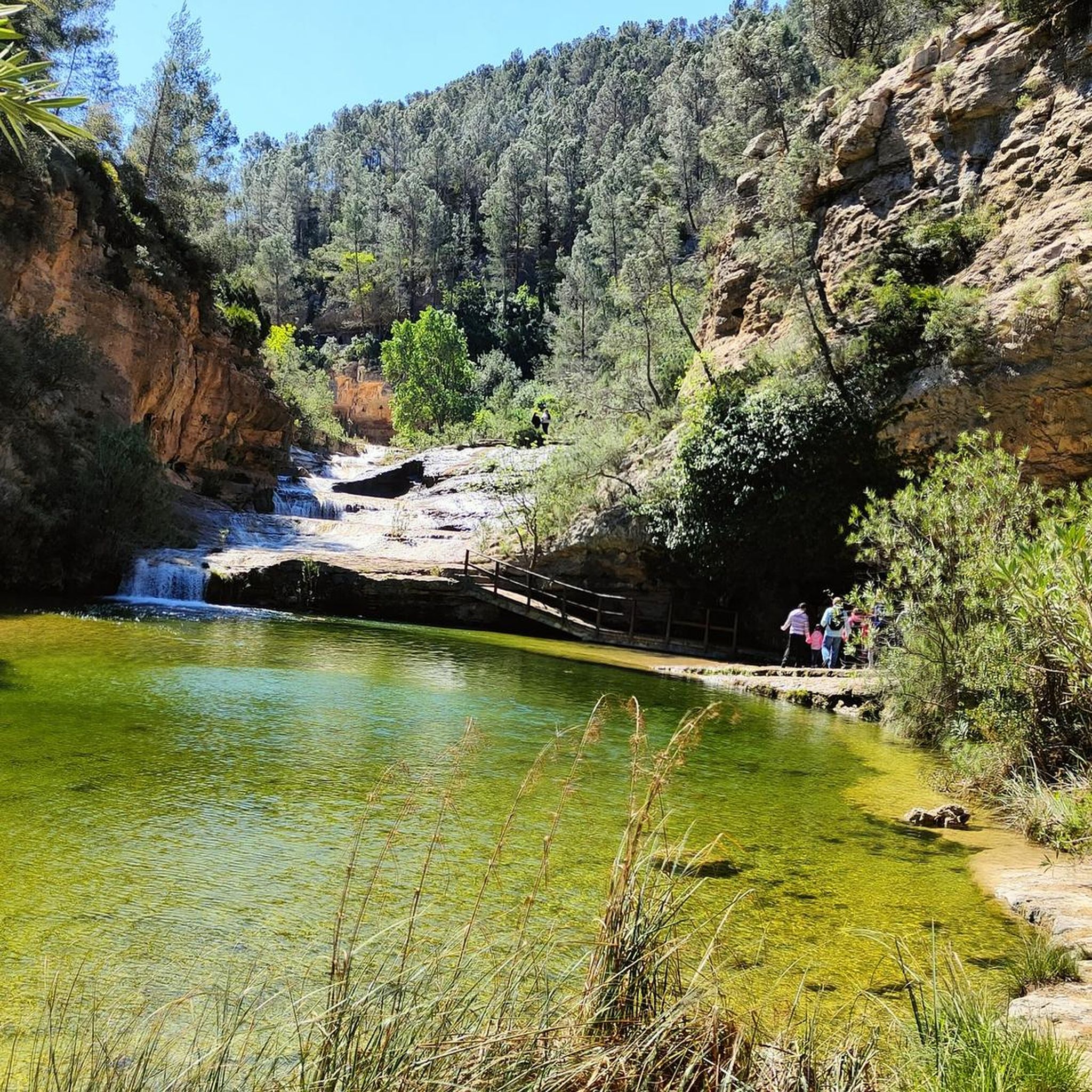
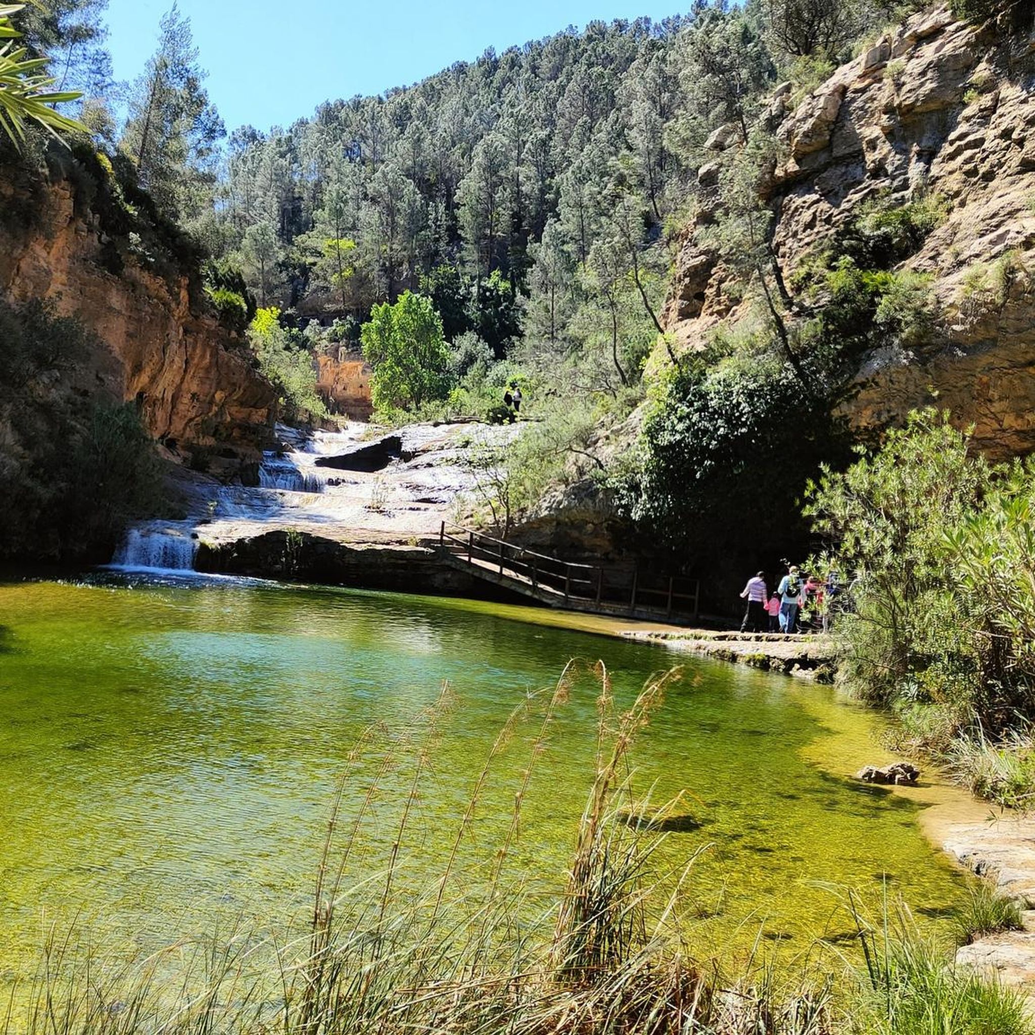
The Bolbaite bathing area is beautiful. The water is clean, cool, crystal-clear, so to speak. The bridge is beautiful, and a backdrop of caves and waterfalls. It looks like something out of a movie. The Sellent River is responsible for so much wonder. It's also the river that divides the village of Bolbaite into two (El Lugar and La Peña), connected by two bridges.
0
0
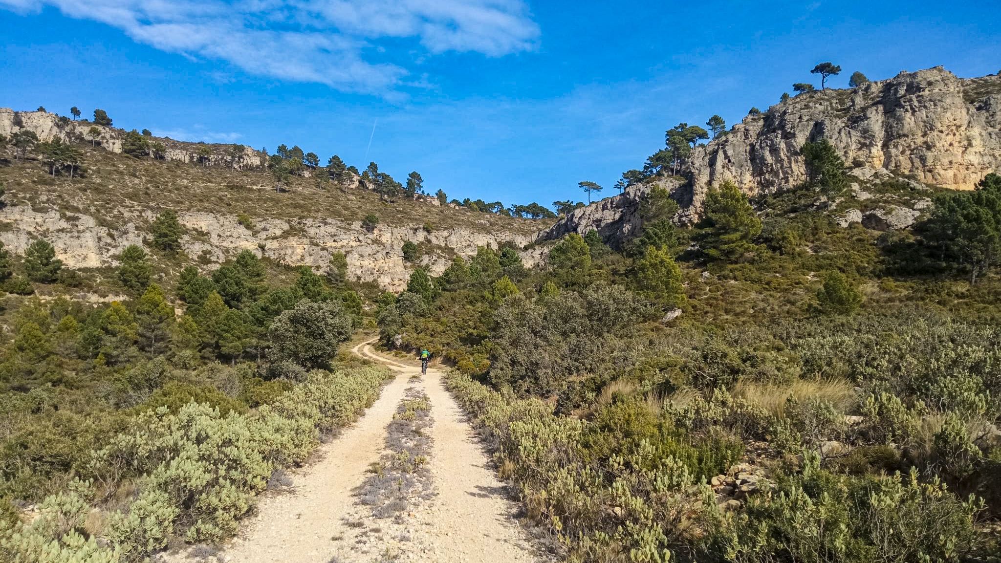
Caroche or Caroig peak is a 1,126 meter mountain, located in Teresa de Cofrentes. It is located in the massif that receives the same name (Macizo del Caroig), located between the regions of "El valle de Ayora-Cofrentes" and the "Canal de Navarrès" and belonging to the municipality of "Teresa de Cofrentes", bordering the municipal area of Bicorp. It has a height of 1,126 meters above sea level. At its highest point there is a fire surveillance post, from which you can see a large part of the regions of Valencia, seeing the sea and the city of Cullera on the clearest days. On the slopes of this massif small streams grow such as “El Río Fraile” or the famous, among the locals of Teresa, “La Argongeña”. It is sometimes mispronounced "La Longeña". The entire geography is dotted with ravines, caves and very deep crevices, such as those found in the Las Quebradas area...
0
0

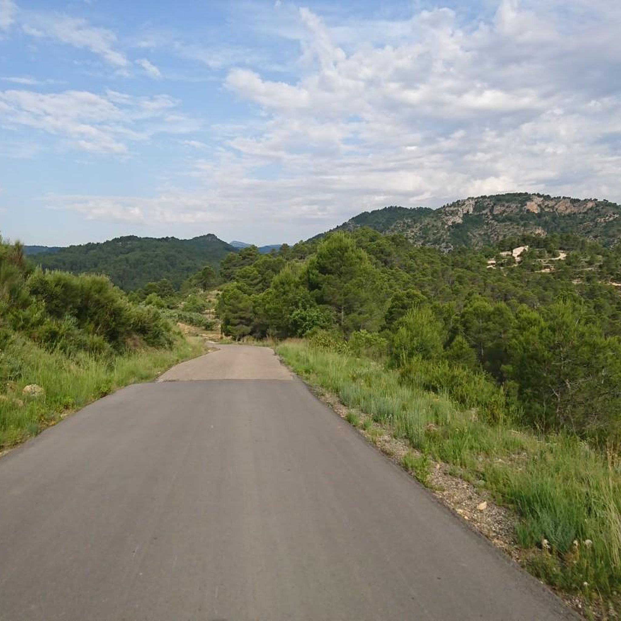
The Caroche peak is located 1125 meters above sea level. I invite you to stop along the way and contemplate the privileged views that you get from this point. Here you can find the forestry hut and some information panels about the surrounding mountains.
0
0

It is one of the most charming places in the area (and this is because the region is full of wetlands). Highly recommended to visit by bike or on foot, and suitable for all ages.
1
0

It is a magnificent pool of natural water fed by the Sellent River. It is located a few meters from the urban center of Bolbaite and is an incredible place equipped for bathing with a picnic area and parking. It can be accessed on foot or by bicycle from the town. And there is a path next to the river that allows you to reach the falls.
3
0


