케사에서 가장 멋진 5개의 산 정상
케사의 산 정상에 오르면 이 지역의 아름다운 모습을 제대로 구경할 수 있어요. 다만, 5
곳이나 되는 산 정상 중에서 어떤 곳을 가야 할 지 고민된다는 게 문제죠. 케사에서 가장 멋진 산 정상을 살펴본 후에 마음에 드는 산 정상을 다음 모험 계획에 추가해보세요.
마지막 업데이트: 8월 27, 2026

이런 장소를 발견하려면 지금 가입하세요
최고의 싱글 트랙, 봉우리 및 다양한 흥미로운 야외 장소에 대한 추천을 받아보세요.
무료 회원 가입
알트 델 폴레트 (560m)
하이라이트 (구간) • 정상
번역자 Google •
팁에 의해

Rincón del Camaro
하이라이트 • 기념물
번역자 Google •
팁에 의해
미라도르 델스 트레스 몰론스
하이라이트 • 전망대
It receives the name of the "Three Mollons" for being the place where it crosses and delimits Antella with Alzira and Tous.
There are very good views of the area.
번역자 Google •
팁에 의해

무료로 가입하여 케사 주변의 더 많은 봉우리를 발견하세요.
무료 회원 가입
이미 komoot 계정이 있나요?
오늘 무료 계정으로 시작하세요
다음 모험이 기다리고 있어요.
로그인 또는 가입하기



커뮤니티 팁

Wow how beautiful! And the trip itself is what it's all about. What a beautiful rugged area.
2
0

The climb from the north is tough, with very steep slopes. The climb is more accessible from the south, after the port of Tous.
1
0

Caroche or Caroig peak is a 1,126 meter mountain, located in Teresa de Cofrentes. It is located in the massif that receives the same name (Macizo del Caroig), located between the regions of "El valle de Ayora-Cofrentes" and the "Canal de Navarrès" and belonging to the municipality of "Teresa de Cofrentes", bordering the municipal area of Bicorp. It has a height of 1,126 meters above sea level. At its highest point there is a fire surveillance post, from which you can see a large part of the regions of Valencia, seeing the sea and the city of Cullera on the clearest days. On the slopes of this massif small streams grow such as “El Río Fraile” or the famous, among the locals of Teresa, “La Argongeña”. It is sometimes mispronounced "La Longeña". The entire geography is dotted with ravines, caves and very deep crevices, such as those found in the Las Quebradas area...
0
0
It is the highest point in Antella, at 303 meters. It receives the name of the "Three Mollons" for being the place where it crosses and delimits Antella with Alzira and Tous. There are very good views of the area.
1
0

At this point, there is a forestry hut and a geodetic point that marks the maximum height of this mountain. It is worth making a small detour and taking in the fantastic panoramic views.
0
0
The Caroche peak is located 1125 meters above sea level. I invite you to stop along the way and contemplate the privileged views that you get from this point. Here you can find the forestry hut and some information panels about the surrounding mountains.
0
0

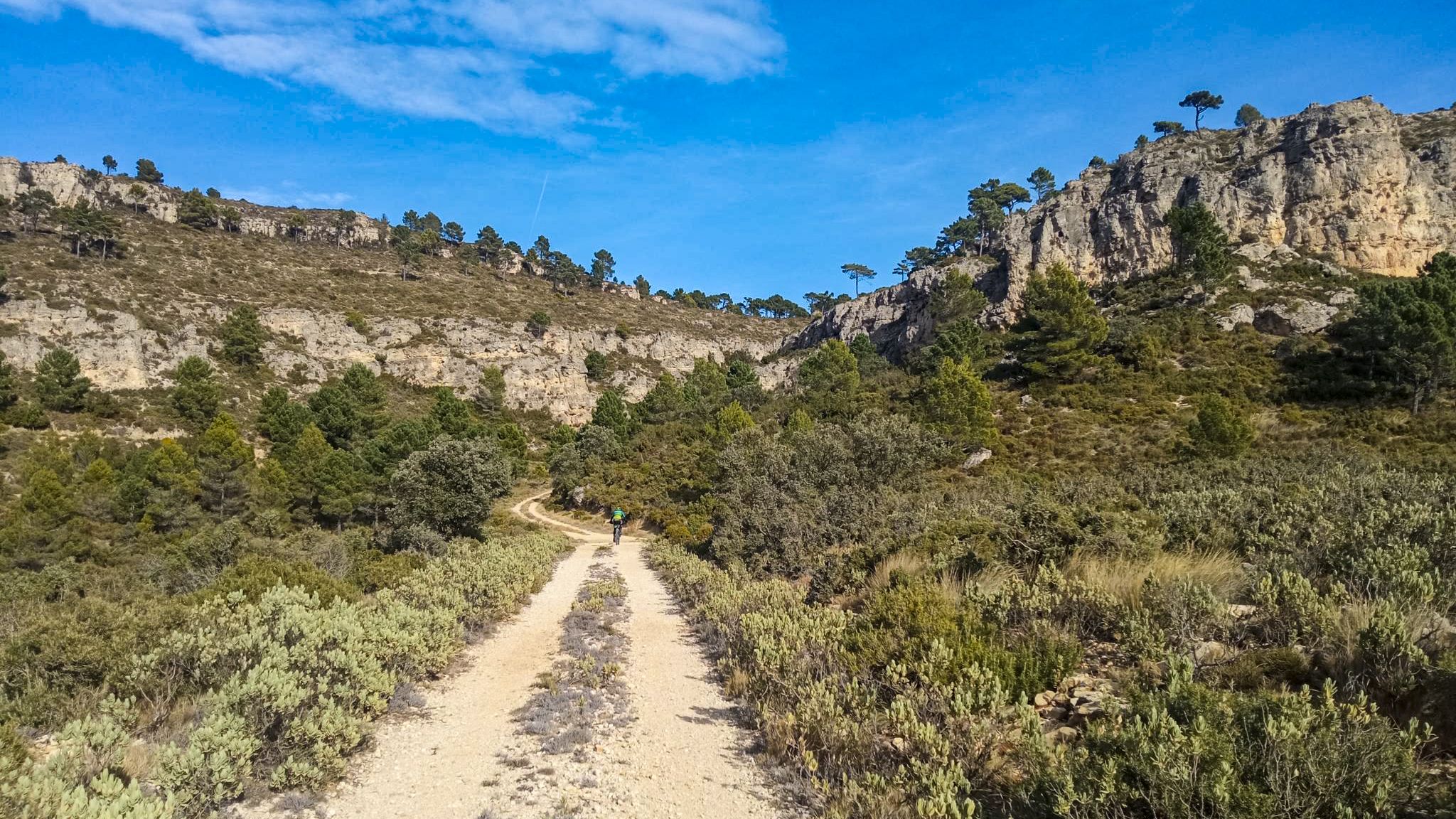
Viewpoint of the forest hut of El Palmeral at 327m asl with very nice views of the Ribera. It is reached by forest road in good condition for both mtb and gravel.
4
1
With its peak at 1,126 meters above sea level, the El Caroche massif offers incredible views in all directions. The stretch of ascent from the pass to the top has steep slopes with a good surface. You can reach the pass by different routes. The views reward all the physical effort of reaching the top.
2
0


