폴고소 도 쿠렐에서 가장 멋진 9개의 천연기념물
천연기념물을 방문하여 폴고소 도 쿠렐의 아름다운 풍경을 만나보세요. 폴고소 도 쿠렐에 있는 9
개의 천연기념물과 상세 정보를 살펴본 후에 방문하고 싶은 천연기념물을 다음 모험 계획에 추가해보세요!
마지막 업데이트: 8월 25, 2026
라밀의 고목 밤나무
하이라이트 • 자연 기념물
번역자 Google •
팁에 의해

폰테 두 세르보 폭포
하이라이트 • 폭포
번역자 Google •
팁에 의해

이런 장소를 발견하려면 지금 가입하세요
최고의 싱글 트랙, 봉우리 및 다양한 흥미로운 야외 장소에 대한 추천을 받아보세요.
무료 회원 가입
세브레이로의 세 봉우리
하이라이트 (구간) • 산악 고개
In the …
번역자 Google •
팁에 의해

베이로 폭포 (Fervenza do Beiro)
하이라이트 • 폭포
번역자 Google •
팁에 의해

무료로 가입하여 폴고소 도 쿠렐 주변의 더 많은 자연 기념물을 발견하세요.
무료 회원 가입
이미 komoot 계정이 있나요?
오늘 무료 계정으로 시작하세요
다음 모험이 기다리고 있어요.
로그인 또는 가입하기

커뮤니티 팁

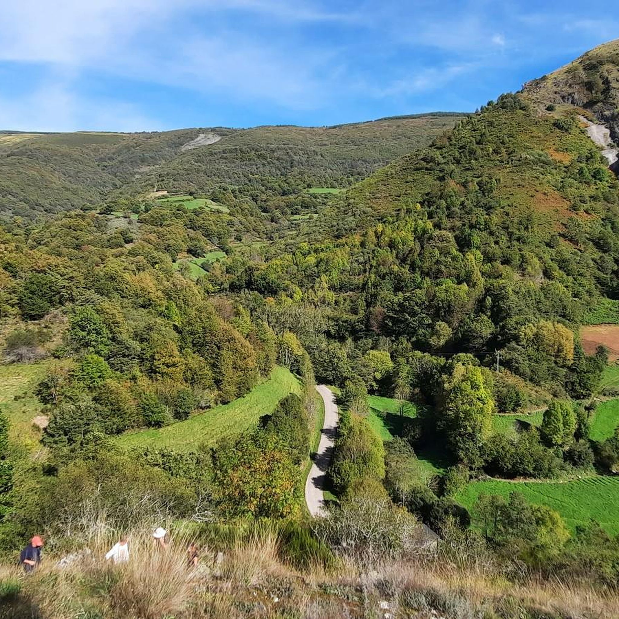
It rises in the Serra do Courel mountain range and flows into the Sil River, passing through chestnut and oak forests that look like something out of a fairy tale. Its name is said to come from the laurel trees that grew on its banks. It's cool, clean, and offers perfect spots to stop, take a dip, or simply watch the water flow by.
0
0

In the small village of Ramil at the foot of the Camino, just before Triacastela, stands one of Galicia's most beautiful century-old chestnut trees. Its trunk spans 8.5 meters and, with its hollow spaces and thick branches that seem to embrace the tree, resembles an X-ray of time.
0
1

Large deciduous tree that is common in the mountains of Galicia. The fruits are covered with a green rind with thorns, the "erize". The season for harvesting chestnuts is November, and in Triacastela and throughout Galicia in general it is celebrated with a festival called "magesto". The main use of the chestnut tree is to obtain its wood and use its fruit as food for the population in general and as food for livestock.
1
0

This impressive tree is over 800 years old. A true natural monument.
2
0

If you decide to explore this route, you will be surrounded by nature, history and stunning views along the River Lor. Enjoy your hike! 🏞️🚶♂️🥾🚵🌞
17
2

This emblematic chestnut tree, which is located in the middle of the Jacobean route, specifically on the French Way, is more than 800 years old. It has become an iconic place that many pilgrims want to remember by taking photos.
13
0

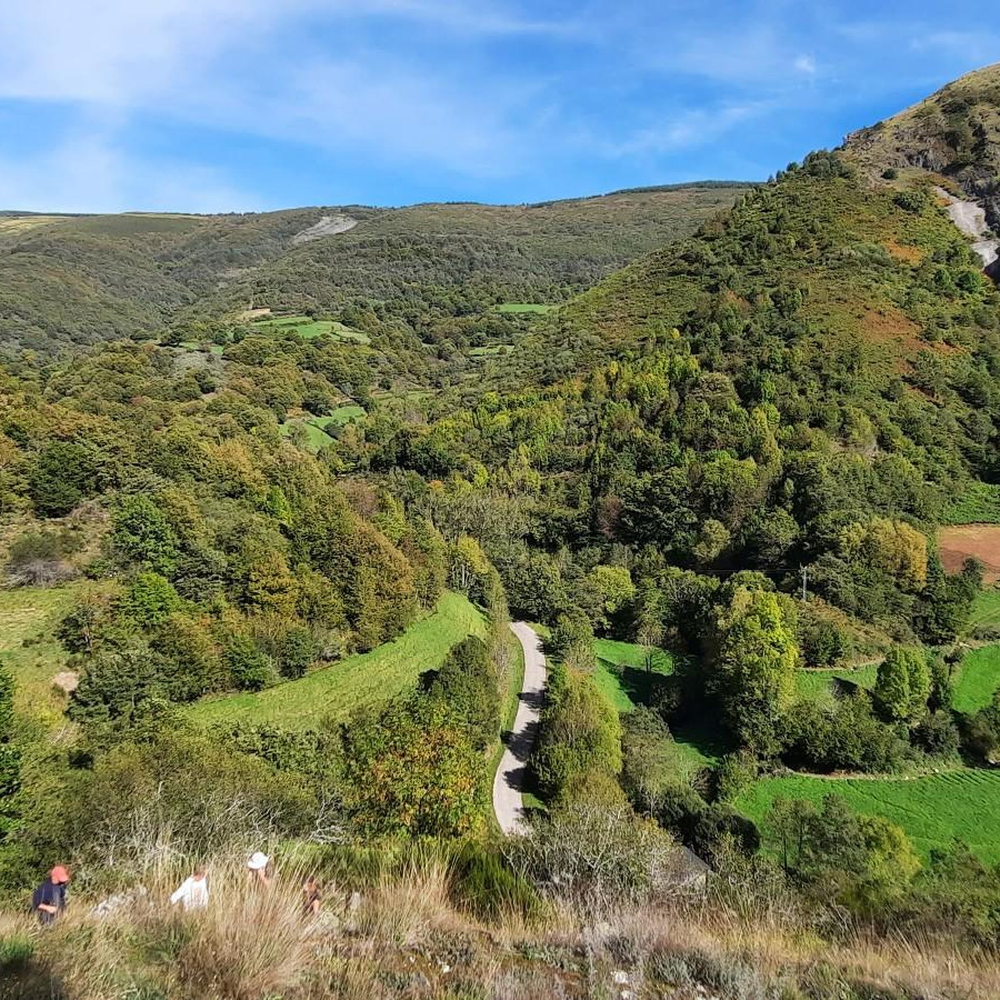
The last real climbs of the Camino are the three peaks of the Cebreiro mountain group, over a distance of approximately 13 km, divided into three equivalent segments. In the first stretch, starting from Pedrafita (1100 m above sea level) and following the LU-633 up to Cebreiro (1300 m.) there are 4 km almost entirely of climbs, which are also very tiring if you are carrying a lot of luggage: the heat accumulated for fatigue can turn into frozen sweat, cold and chills due to possible fog, tiredness and/or dehydration and the difference in temperature compared to Pedrafita; in addition to covering up, it is advisable to stop for a short refreshment at the village bar. In the second stretch you descend to Linares (1220 m), and then climb up to Alto de San Roque (1260 m), which is particularly windy, as evidenced by the statue of the saint placed on the pass of the hill. The third stretch descends again to Hospital (approximately 1250m) and then rises again reaching Alto do Poio (1335m), the highest point of the three peaks. From here the road begins to descend rapidly for about fifteen km up to 660 m. above sea level of Triacastela.
2
0
폴고소 도 쿠렐 주변에서 가장 인기 있는 명소


더 살펴보기
폴고소 도 쿠렐 주변의 최고의 동굴을 찾기 위해 이 가이드를 확인해보세요:
