찬타다에서 가장 멋진 10개의 천연기념물
천연기념물을 방문하여 찬타다의 아름다운 풍경을 만나보세요. 찬타다에 있는 10
개의 천연기념물과 상세 정보를 살펴본 후에 방문하고 싶은 천연기념물을 다음 모험 계획에 추가해보세요!
마지막 업데이트: 8월 25, 2026

리베이라 사크라 강 계곡
하이라이트 • 강
번역자 Google •
팁에 의해
이런 장소를 발견하려면 지금 가입하세요
최고의 싱글 트랙, 봉우리 및 다양한 흥미로운 야외 장소에 대한 추천을 받아보세요.
무료 회원 가입
몬테 파로 정상 및 전망대
하이라이트 • 정상
번역자 Google •
팁에 의해
미라도이로 몬테 파렐로
하이라이트 • 전망대
번역자 Google •
팁에 의해
기념비 및 기념 분수
하이라이트 • 기념물
번역자 Google •
팁에 의해
무료로 가입하여 찬타다 주변의 더 많은 자연 기념물을 발견하세요.
무료 회원 가입
이미 komoot 계정이 있나요?
오늘 무료 계정으로 시작하세요
다음 모험이 기다리고 있어요.
로그인 또는 가입하기
찬타다 주변 인기 장소
커뮤니티 팁

The Monte Farelo viewpoint is located between the provinces of Lugo and Pontevedra, in the municipalities of Agolada and Antas de Ulla, at an altitude of approximately 1,000 meters. From its platform with a railing, you can enjoy panoramic views that, on very clear days, extend to all four Galician provinces. From the summit of Monte Farelo, you can see: The Galician Ridge and mountain ranges such as O Faro, O Careón, O Xistral, and Os Ancares. A vast natural landscape encompassing forests, wind farms, and a privileged view of the geographical heart of Galicia.
3
0

At an altitude of approximately 950 metres, this viewing point offers spectacular panoramic views of the surrounding valleys and mountains, as well as the rivers that run through the area. Monte Farelo is an ideal place for hiking and nature lovers, offering a unique perspective of the Galician rural landscape. This viewing point is a point of reference in the region, providing a broad view of the surroundings, with a peaceful and natural environment, ideal for disconnecting and enjoying the mountainous landscape that characterises this area of Galicia.
1
1
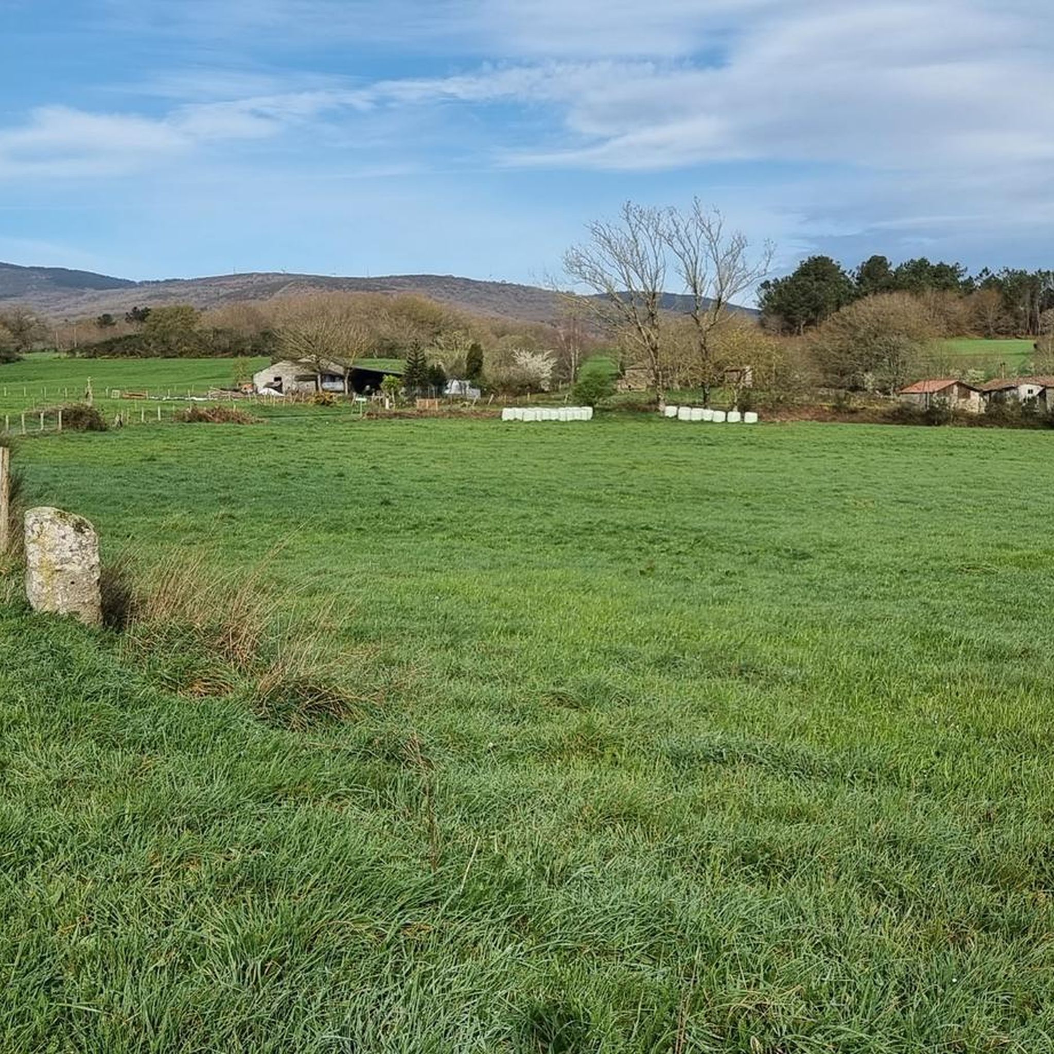
If you decide to explore this route, you will be surrounded by nature, history and breathtaking views. Enjoy your hike! 🏞️🚶♂️🥾🚵🌞
7
0

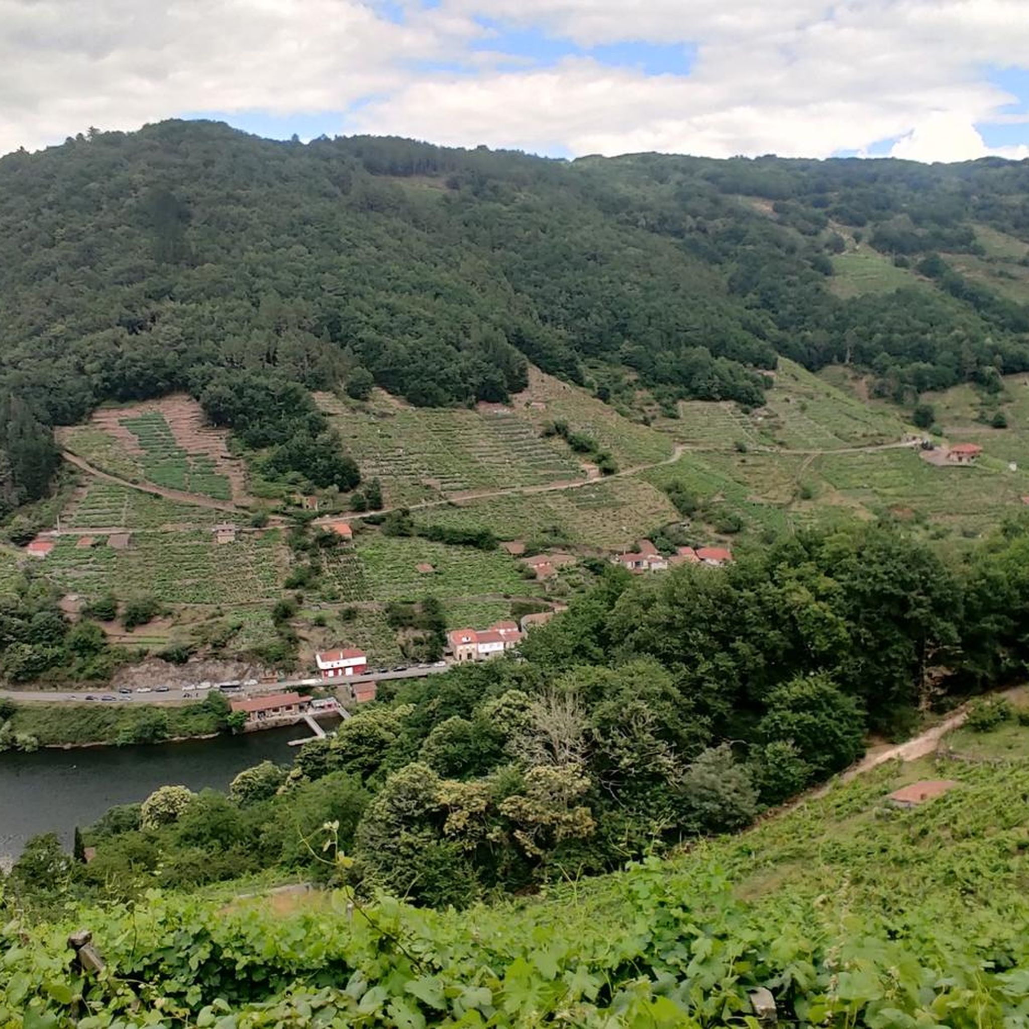
As we walk along these banks with views and Feeling of being in a Fantastic place that Will give us wines that will become fantastic Ribera wines... 🍷
4
0

The Ribeira Sacra could be described as one of the best-kept secrets of inland Galicia. This destination includes twenty-six municipalities located in the south of the province of Lugo and the north of the province of Ourense, with sections of the Miño, Sil, Cabe and Bibei rivers as connecting elements.
4
1
The Ribeira Sacra is an impressive destination in Galicia, Spain. It includes the banks of the Cabe, Sil and Miño rivers, and its landscape is simply captivating. It is a natural and cultural treasure worth exploring. Enjoy your visit! 😊
20
0
The hermitage and recreational area at the top offer wide panoramic views. Furthermore, according to calculations made by César Parcero, a CSIC scientist, Monte Faro is the most visible point in Galicia, from where a larger area of the territory can be observed. A stunning place to enjoy nature and views! 🌄
8
0
Monte Faro (also known as Monte do Faro) is the highest peak in the Faro mountain range, with an altitude of 1,187 meters. This natural area is declared a special area of conservation (ZEC). The mountain marks the limit of natural separation between the municipalities of Chantada and Rodeiro, and from its summit you can see the four Galician provinces
8
0
찬타다 주변에서 가장 인기 있는 경로
찬타다 주변에서 가장 인기 있는 명소


더 살펴보기
찬타다 주변의 최고의 동굴을 찾기 위해 이 가이드를 확인해보세요:
