세로에서 가장 멋진 10개의 천연기념물
천연기념물을 방문하여 세로의 아름다운 풍경을 만나보세요. 세로에 있는 10
개의 천연기념물과 상세 정보를 살펴본 후에 방문하고 싶은 천연기념물을 다음 모험 계획에 추가해보세요!
마지막 업데이트: 10월 18, 2026

바사 산맥과 필라브레스 산맥
하이라이트 • 산악 고개
번역문 보기
팁에 의해

이런 장소를 발견하려면 지금 가입하세요
최고의 싱글 트랙, 봉우리 및 다양한 흥미로운 야외 장소에 대한 추천을 받아보세요.
Mirador de Piedra Lobera
하이라이트 • 전망대
번역자 Google •
팁에 의해

엘 마르찰 델 아보가도 참나무
하이라이트 • 자연 기념물
번역자 Google •
팁에 의해
무료로 가입하여 세로 주변의 더 많은 자연 기념물을 발견하세요.
이미 komoot 계정이 있나요?



커뮤니티 팁

Both mountain ranges ensure that it hardly rains in this semi-desert area.
1
0

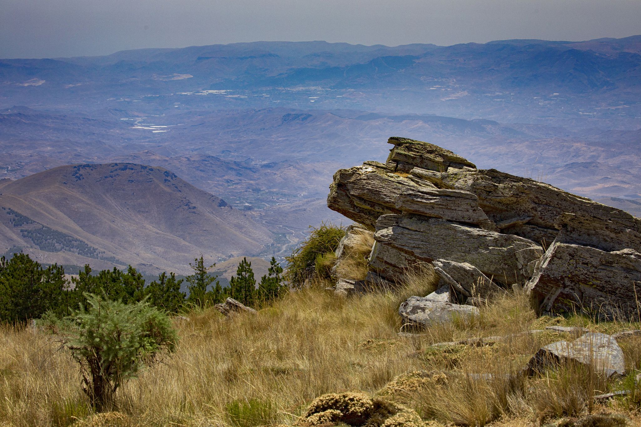
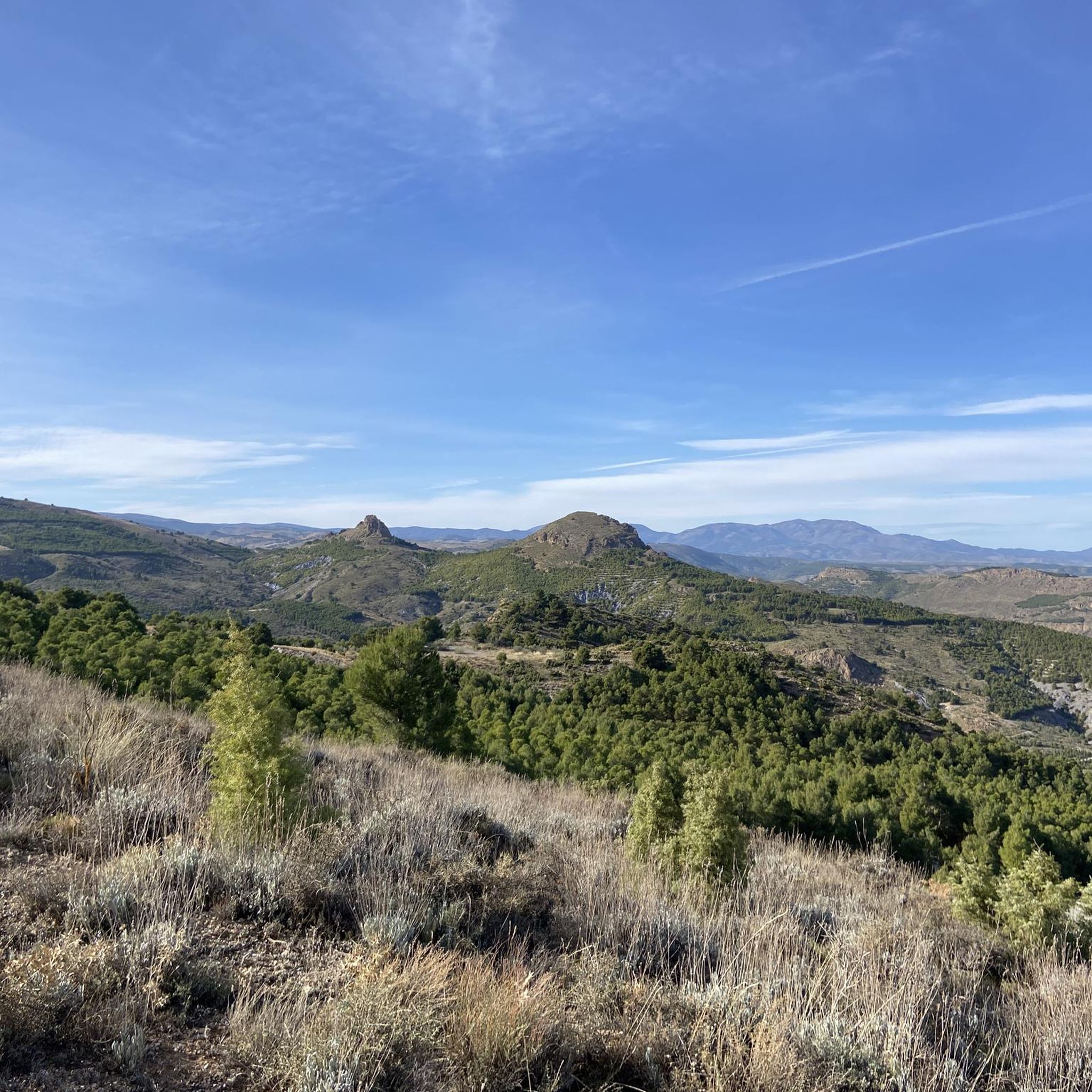
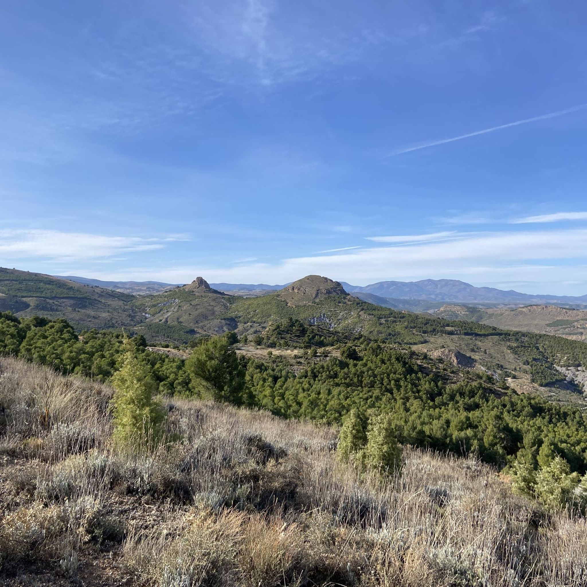
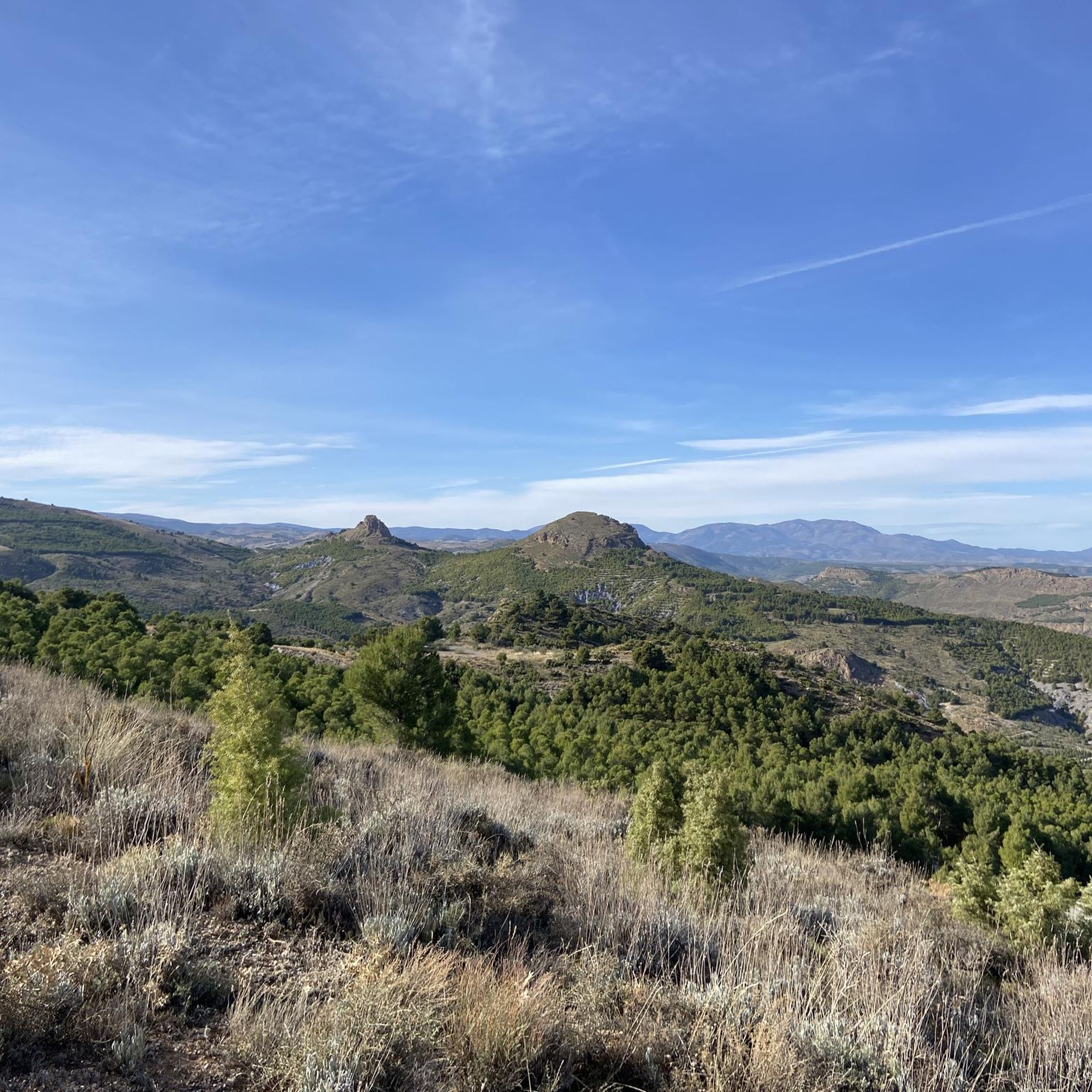
The Piedra Lobera Viewpoint is an impressive place in the province of Almería, specifically in the Sierra de Lúcar. At more than 1,700 meters, from the watchtower of Puerto de Lúcar, there are panoramic views that dominate territories of the provinces of Granada, Jaén and Almería. This viewpoint offers a unique visual experience in the region. 🌿🏞️
2
0

Place to enjoy 360 * of various ecosystems and mountains
1
0

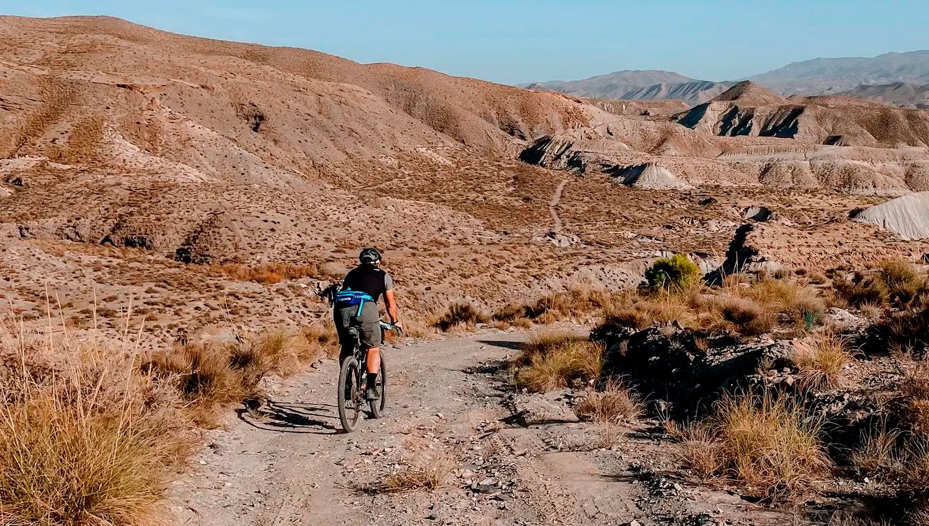
시에라 데 바자(Sierra de Baza)와 시에라 데 로스 필라베레스(Sierra de Los Filabres)는 그라나다와 알메리아 주에 위치한 2,000미터 이상의 고지대에 있는 외딴 산맥의 일부이며, 배드랜드(Badlands) 지역 중 가장 고립된 곳입니다. 이 산맥은 역사적인 문화 교차로였으며, 그 유산에는 로마 수도교나 아랍 성곽의 유적이 포함되어 있습니다. 산맥의 가장 높은 지점에는 상징적인 칼라르 알토 천문대(Calar Alto Observatory, 2,168m)가 있으며, 멀리서도 쉽게 알아볼 수 있습니다. 이 산맥에는 또한 이베리아 반도에서 가장 상징적이고 장관을 이루는 산악 도로 중 하나인 엘 푸에르토 데 벨레피케(el Puerto de Velefique, 1,820m)가 포함되어 있으며, 남쪽 면의 많은 헤어핀 커브로 인해 인기가 있습니다. 시에라 데 로스 필라베레스의 남쪽 경계는 타베르나스 사막의 북쪽 관문으로 여겨지는 게르갈(Gérgal) 마을에 이릅니다.
1
0
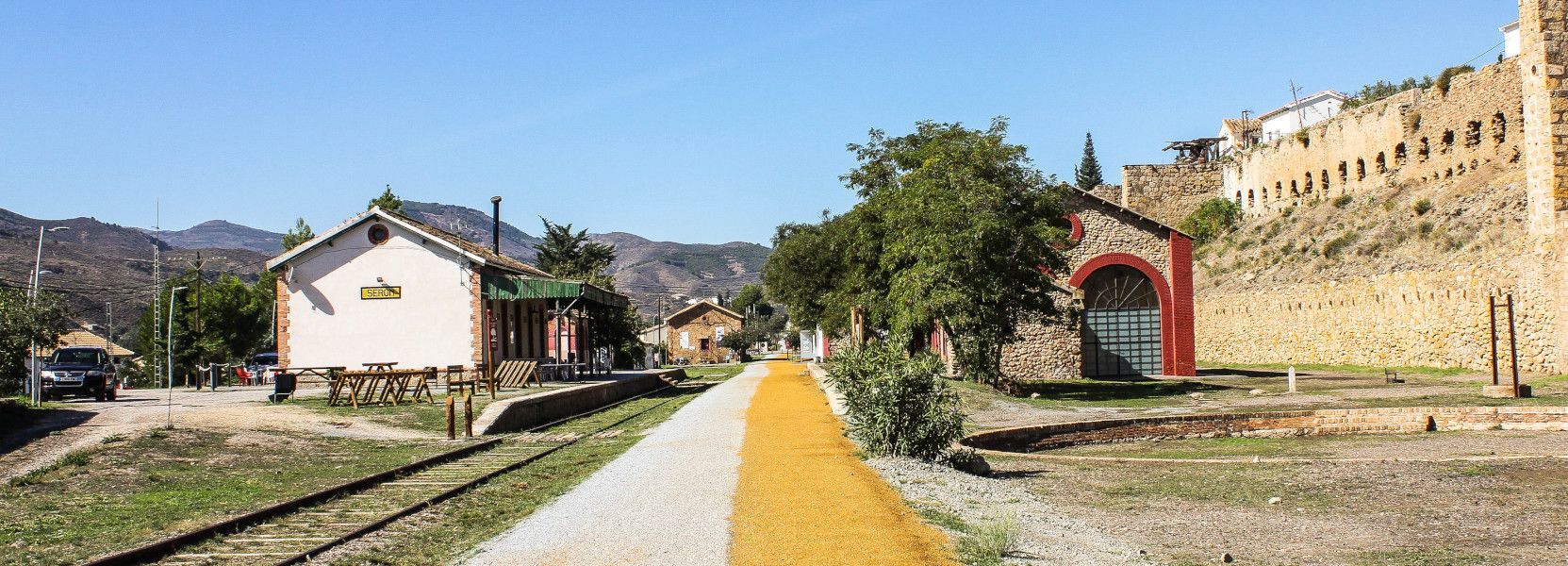
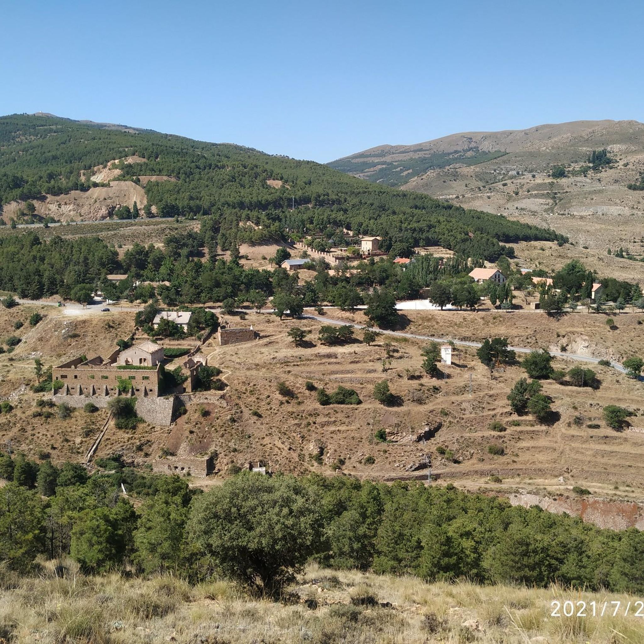
At the eastern end of the Betic System, in the province of Almería and in the Alto Almanzora region, is the Sierra de Lúcar, where the Piedra Lobera Natural Monument rises to a height of 1,722 meters. It is a spectacular limestone formation with steep walls that stands out remarkably in the landscape, constituting a geographical landmark of great interest and spectacular landscapes. Its legendary name comes from the oral tradition, which says that it was in this place where the last examples of wolves that existed in these mountains were exterminated. In addition to its scenic beauty, this natural monument is home to an important endemic flora adapted to the harsh conditions that occur in this environment: low rainfall, strong winds, long periods of insolation, frequent frosts and stony soils. Thus, exclusive species appear such as the arenaria tomentosa, which grows among the rocks and has a pillow-shaped bearing to counteract the whipping of the wind. It is covered with small hairs to reflect the incessant rays of the sun. Other specimens of interest are the honeysuckle of the Pyrenees, which lives sheltered from cracks and limestone rocks; and the exotic peony, called monte rosa, to which medicinal properties are attributed despite the fact that, at certain concentrations, it is toxic. In general, there are deciduous forests and the thorns that accompany and replace them, such as sweet durillo, hawthorn, hawthorn and mostajo, among a wide variety. In addition to the town of Lúcar, in its surroundings there are other municipalities of interest, both monumental and natural, such as Tíjola, where Cela, its natural pool of hot springs, stands out; Bacares, with a beautiful urban layout perfectly integrated into the high mountain landscape; or Serón, where the cultural richness of its plot is joined by a mining past with a rich ethnographic heritage (Las Menas de Serón).
1
0
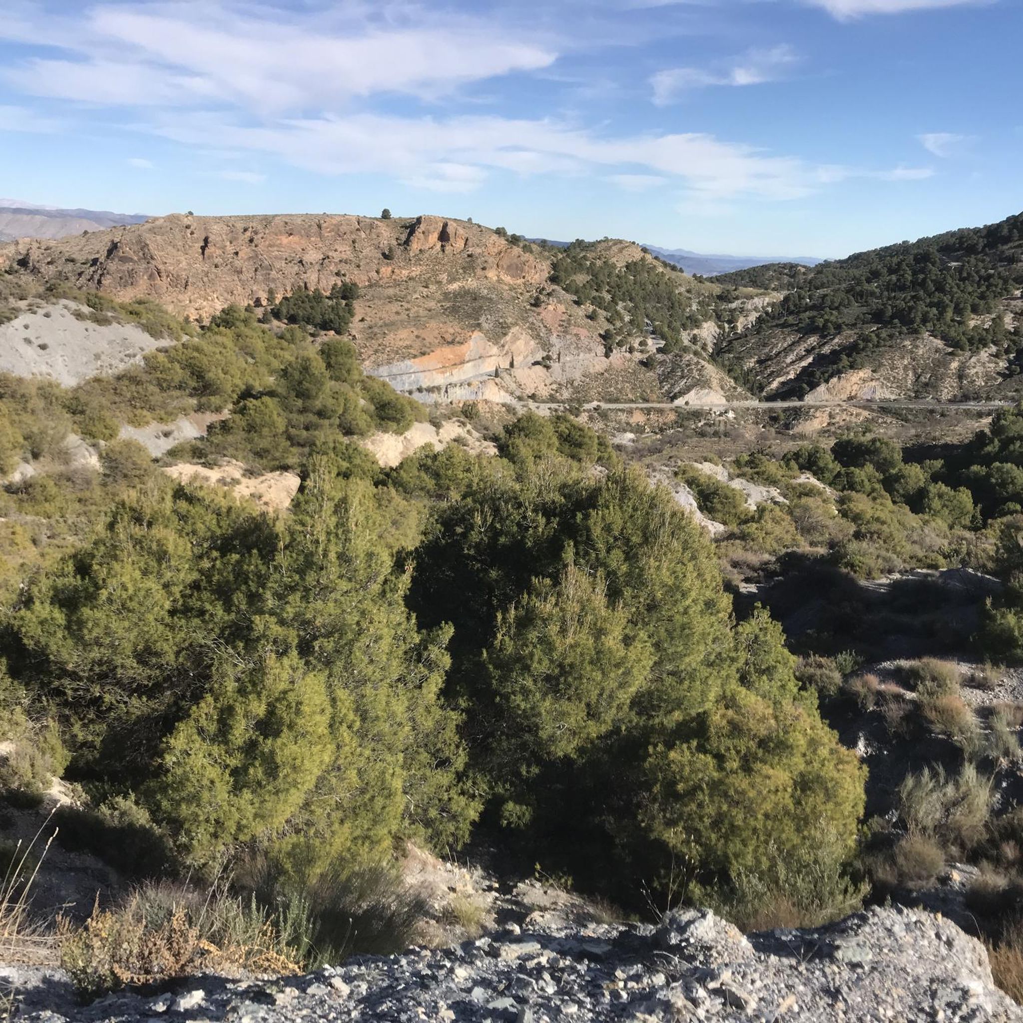
La Encina del El Marchal del Abogado seems to emerge from a world of beings from fairy tales. It is an example of those rare botanical individuals that has survived thousands of years, witnessing the passage of time and the radical transformations of its environment. The common sense of the people, the overwhelming logic has protected them for generations and has allowed them to survive over so many years, tree species that are part of the bustle of people, peoples and their history. In the Almanzora Valley there is an important and still unknown tree mass cataloged and singled out in aspects as diverse as its longevity, a capricious morphology, height or its symbiosis with the nearby population. The Encina del El Marchal del Abogado, located in the municipality of Serón, is an obvious example due to its unique shape, since it offers a perimeter of trunk that exceeds six meters and symbolizes, together with the Poplar of El Marchal del Abogado, a set of opposites that represent the versatility of the arboreal world and evoke the well-known couple of knight and squire. Close to the Sierra de Baza Natural Park, in addition to the area's interesting monumental and ethnographic heritage (Las Menas de Serón mines), the headwaters of the Almanzora offer an interesting Greenway for non-motorized enjoyment. This unique botanical specimen is part of an excellent group of unique trees that dot the Almanzora Valley and its slopes: Acerolo del Cortijo de las Iglesias, Cornicabra del Puente de El Valle, Encina de El Marchal de El Abogado, Poplar de El Marchal de The Lawyer, Encina de la Fuente el Pino, Encina de los Trébedes and Olivo de las Lomas.
0
0
Outcrops of carbonate alpujárrides materials that are what make up the aquifer. The schists, phyllites and quartzites define the eastern and northern impervious substratum and edges, while contributing to the compartmentalization of the aquifer due to the existence of numerous tectonic scales. The southern and western limits are occupied by Miocene and Plioquaternary materials, which except those that make up the alluvial of the Almanzora River are of low permeability. The thickness of the limestone and aquifer dolomites is estimated at 300 m. The feeding of the aquifer comes from the direct infiltration of part of the rain that falls on the permeable outcrops and from the surface run-off waters, coming from the shales and phyllites of the environment. The discharge is produced by boreholes and by springs and galleries located on the southern edge. This group of springs emerges together with a group of small Triassic carbonate outcrops that emerge in the Almanzora valley, in the middle of the Miocene loamy pack. The waters of these springs present the peculiarity of being slightly thermal (28 ° C or more), the most important being Cela, Perica, Cañada y Plaza, Algibe and Huelago. This thermalism is also manifested in certain soundings, some of which are upwelling. The springs and galleries that are controlled show flows with slight decreases with a contribution of 3 to 4 Hm3 / year. The evolution of levels and flows of springs reveals the compartmentalisation of the aquifer in different blocks. Like the Cela spring, the Fuencaliente upwellings are possibly linked to the existence of an important fracture, or zone of fractures forming the "horst" of Fuencaliente, parallel to the edge of the Almanzora depression, thanks to which the emergence of water will take place, which would have circulated in depth through the carbonate formations of alpujarrides units.
2
0
세로 주변에서 가장 인기 있는 명소


더 살펴보기
세로 주변의 최고의 동굴을 찾기 위해 이 가이드를 확인해보세요:
