바야르케에서 가장 멋진 8개의 천연기념물
천연기념물을 방문하여 바야르케의 아름다운 풍경을 만나보세요. 바야르케에 있는 8
개의 천연기념물과 상세 정보를 살펴본 후에 방문하고 싶은 천연기념물을 다음 모험 계획에 추가해보세요!
마지막 업데이트: 10월 18, 2026

엘 에스트레초 데 우라칼
하이라이트 • 협곡
번역자 Google •
팁에 의해

이런 장소를 발견하려면 지금 가입하세요
최고의 싱글 트랙, 봉우리 및 다양한 흥미로운 야외 장소에 대한 추천을 받아보세요.
엘 마르찰 델 아보가도 참나무
하이라이트 • 자연 기념물
번역자 Google •
팁에 의해
쿠에바 데 라 팔로마
하이라이트 • 동굴
번역자 Google •
팁에 의해
무료로 가입하여 바야르케 주변의 더 많은 자연 기념물을 발견하세요.
이미 komoot 계정이 있나요?
오늘 무료 계정으로 시작하세요
다음 모험이 기다리고 있어요.

커뮤니티 팁

The shortest beautiful gorge in the world
2
0


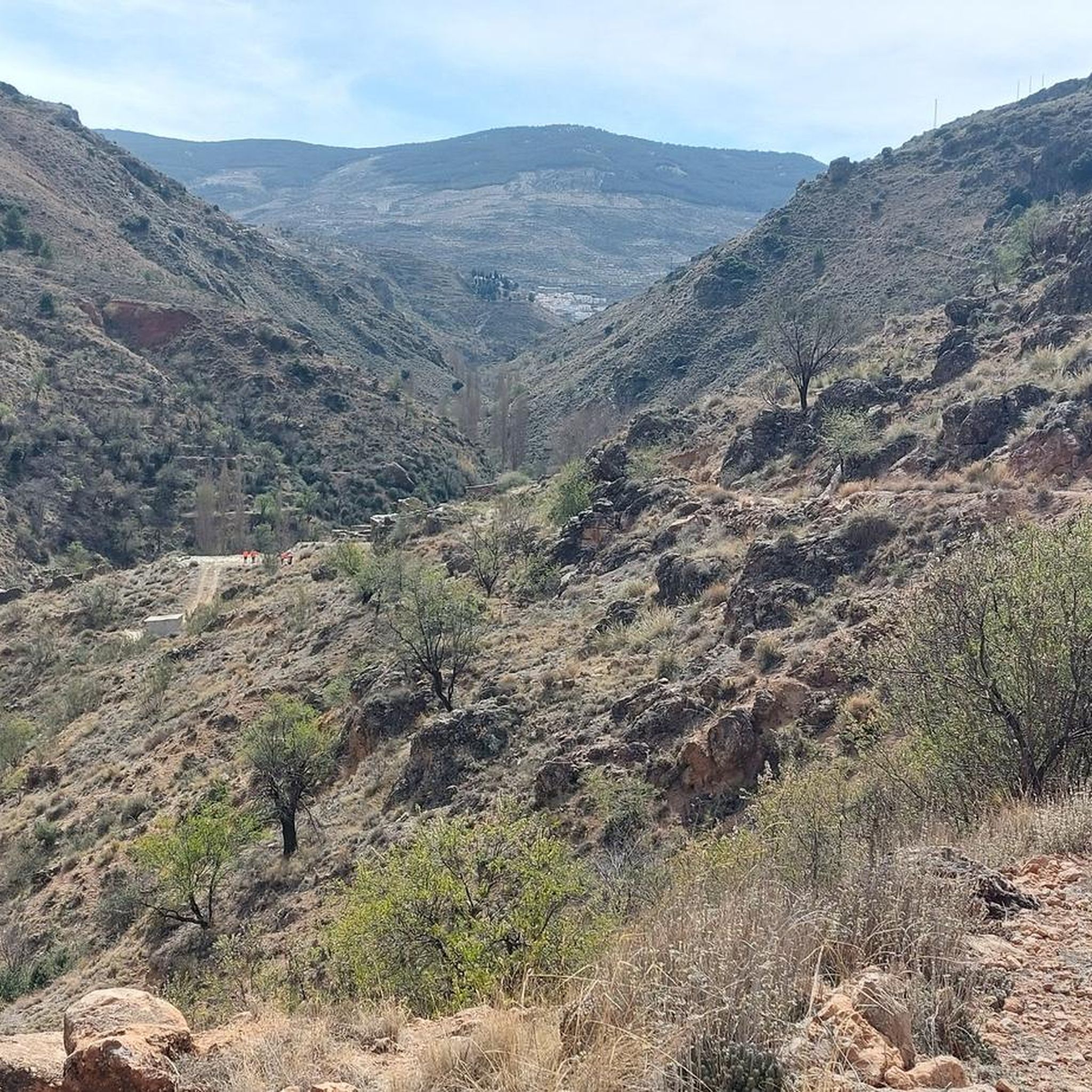
One of the places that most impresses those who take a walk through the Almanzora Valley in the north of Almería, is El Estrecho located in the municipality of Urrácal. This narrow gorge is located on the Salada Rambla at the foot of the El Castillico hill. For decades it has not been possible to pass due to the large amount of vegetation that was on the boulevard. In the past, with the flooding of the riverbed, it was cleaned naturally, but the construction of dams to prevent large avenues and floods has caused, over the years, a large number of oleanders, tamarisks, blackberries and false reeds to appear. They prevented access. Thanks to the cleaning work that has been carried out, today we can enjoy a walk that surprises us with its particular geological formations of great beauty. The passage of water, which will accompany us along the route of this gorge, and the action of the wind, have shaped these spectacular geological formations for years, and its walls reach several meters high. It consists of two separate formations whose length reaches around half a kilometer where our senses will begin to enjoy the spectacle that this environment offers. A natural wonder worth exploring! 🌿🏞️
7
0
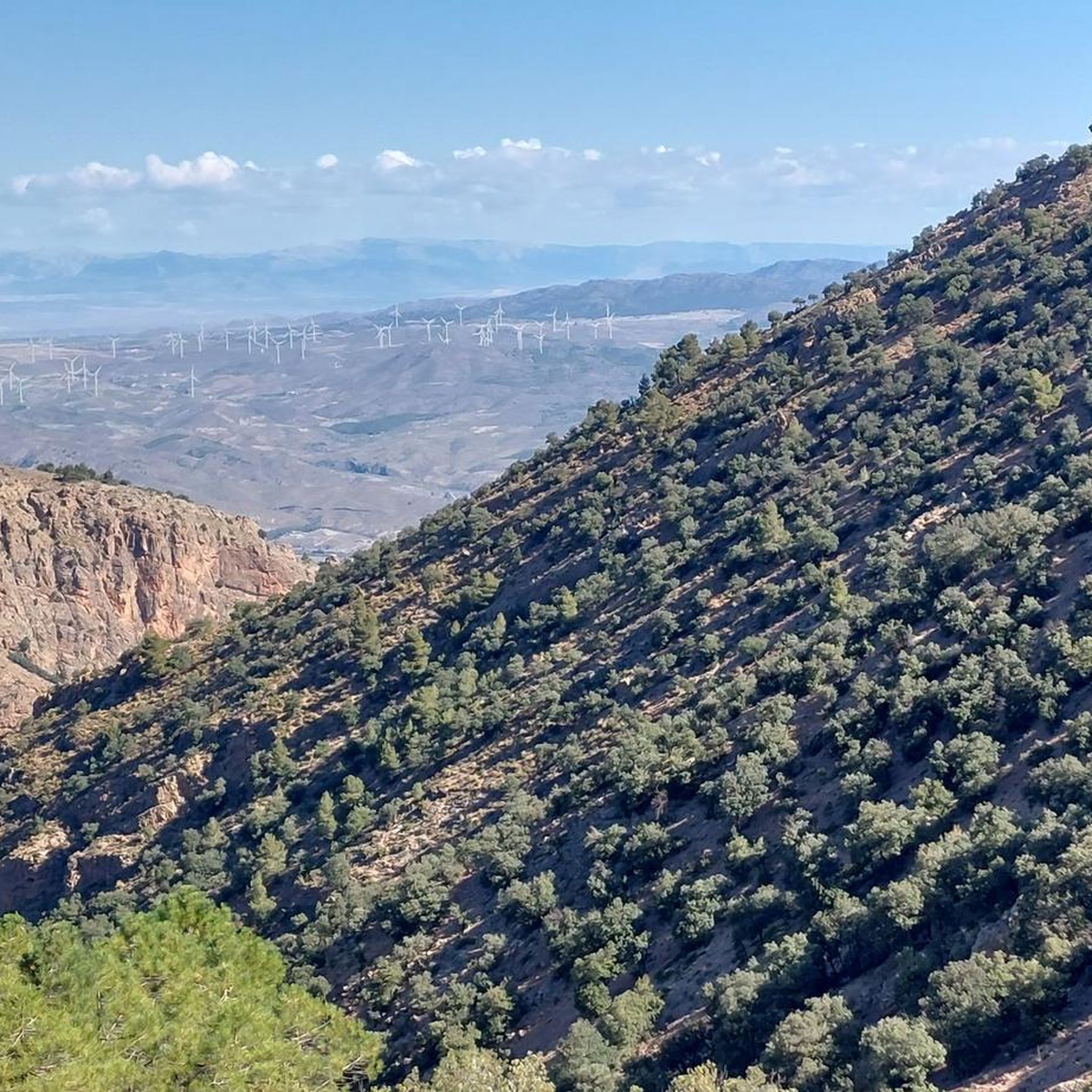
The Cueva de la Paloma in Bayarque, Andalusia, is a cavernous opening located at the foot of a steep peak. Its reddish and brown esplanade is formed by the compact accumulation of mineral rubble that fills the abrupt relief of the environment. This cave is located in the Bacares River gorge, with vertical limestone pits approximately 120 meters high. Access is free and available for visits. 🌿🏞️
1
0

This narrow gorge is located on the Rambla Salada at the foot of the hill “El Castillico”. For decades it has not been possible to pass due to the large amount of vegetation that was on the boulevard. Formerly, with the flooding of the riverbed, it was naturally cleaned but the construction of dams to prevent large avenues and floods has caused a large number of oleanders, tarays, blackberries and false reeds to appear over the years. the access. Thanks to the cleaning work that has been carried out, today, we can enjoy a walk that surprises us with its particular geological formations of great beauty. The passage of water, which will accompany us on the route of this gorge, and the action of the wind, have shaped these spectacular geological formations for years, and their walls reach several meters in height. It consists of two separate formations whose length reaches around half a kilometer where our senses will begin to enjoy the spectacle that this environment offers.
2
0
Located in the municipality of Bayarque, the Cueva de la Paloma is a cavernous opening at the foot of a steep peak, with a reddish and brown esplanade formed by the accumulation of mineral rubble, very compacted, that fill the abrupt relief of the environment. Outside we found a small hill on one side of the vertical wall that bordered the castle of Tíjola la Vieja, located in front. The place of La Cerrá, where it is located, is a gorge of the Bacares River, with vertical limestone pits with an approximate height of 120 meters. The sickle described by the river around a raised rock formation configures the natural fortress of the Tíjola la Vieja settlement. The Legend of the Treasure of the Cueva de la Paloma is shared by the residents of Tíjola and those of Bayarque. The locals say that when the artillery attack of Don Juan de Austria took place, the Moors fled at night, taking with them some food and the most valuable belongings for them, but they did not manage to take everything and hid most of their riches taking advantage of the grottos and caves in the area. It is assumed that most of a lavish treasure is hidden in the bowels of the Cueva de la Paloma, or in its surroundings.
1
0
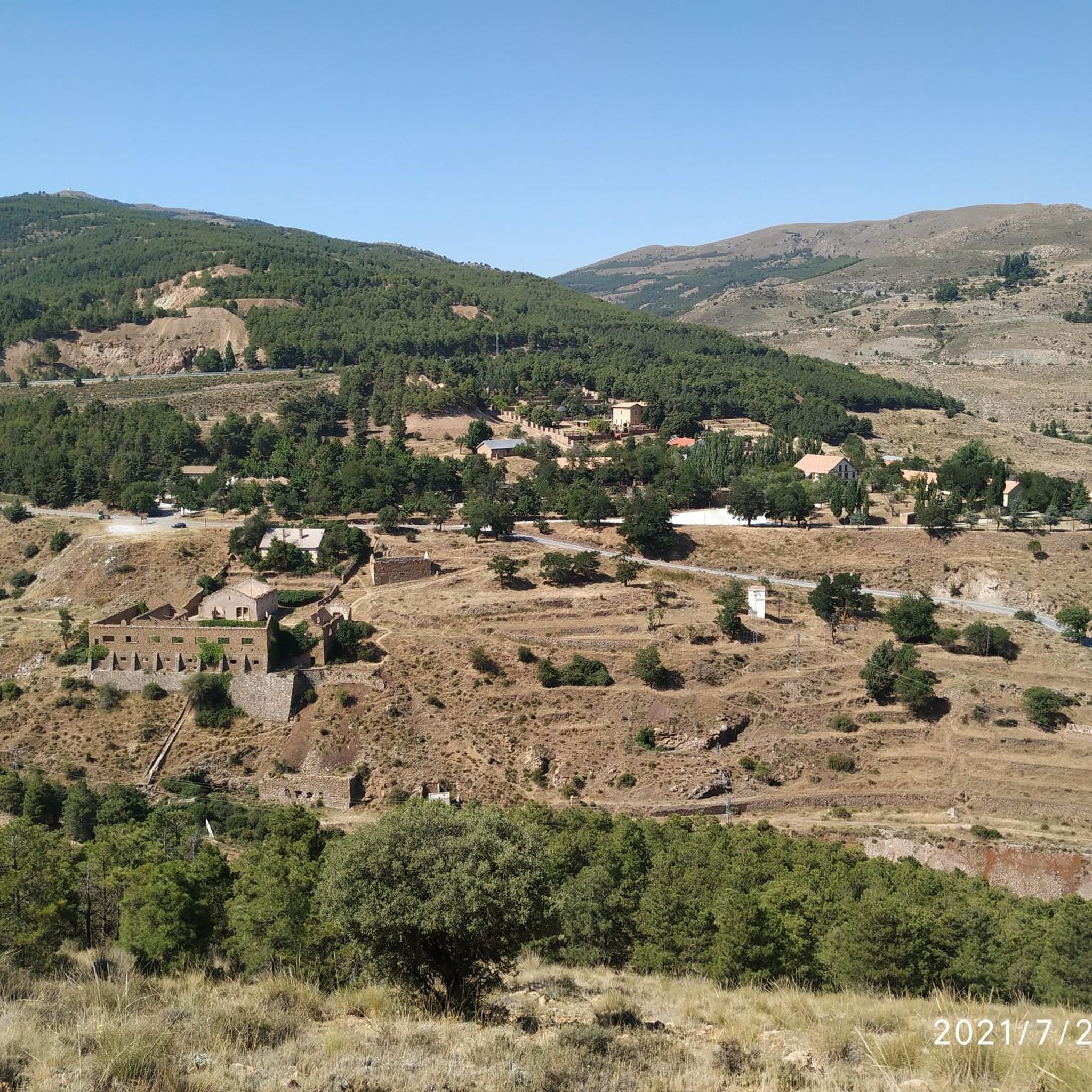
La Encina del El Marchal del Abogado seems to emerge from a world of beings from fairy tales. It is an example of those rare botanical individuals that has survived thousands of years, witnessing the passage of time and the radical transformations of its environment. The common sense of the people, the overwhelming logic has protected them for generations and has allowed them to survive over so many years, tree species that are part of the bustle of people, peoples and their history. In the Almanzora Valley there is an important and still unknown tree mass cataloged and singled out in aspects as diverse as its longevity, a capricious morphology, height or its symbiosis with the nearby population. The Encina del El Marchal del Abogado, located in the municipality of Serón, is an obvious example due to its unique shape, since it offers a perimeter of trunk that exceeds six meters and symbolizes, together with the Poplar of El Marchal del Abogado, a set of opposites that represent the versatility of the arboreal world and evoke the well-known couple of knight and squire. Close to the Sierra de Baza Natural Park, in addition to the area's interesting monumental and ethnographic heritage (Las Menas de Serón mines), the headwaters of the Almanzora offer an interesting Greenway for non-motorized enjoyment. This unique botanical specimen is part of an excellent group of unique trees that dot the Almanzora Valley and its slopes: Acerolo del Cortijo de las Iglesias, Cornicabra del Puente de El Valle, Encina de El Marchal de El Abogado, Poplar de El Marchal de The Lawyer, Encina de la Fuente el Pino, Encina de los Trébedes and Olivo de las Lomas.
0
0
Outcrops of carbonate alpujárrides materials that are what make up the aquifer. The schists, phyllites and quartzites define the eastern and northern impervious substratum and edges, while contributing to the compartmentalization of the aquifer due to the existence of numerous tectonic scales. The southern and western limits are occupied by Miocene and Plioquaternary materials, which except those that make up the alluvial of the Almanzora River are of low permeability. The thickness of the limestone and aquifer dolomites is estimated at 300 m. The feeding of the aquifer comes from the direct infiltration of part of the rain that falls on the permeable outcrops and from the surface run-off waters, coming from the shales and phyllites of the environment. The discharge is produced by boreholes and by springs and galleries located on the southern edge. This group of springs emerges together with a group of small Triassic carbonate outcrops that emerge in the Almanzora valley, in the middle of the Miocene loamy pack. The waters of these springs present the peculiarity of being slightly thermal (28 ° C or more), the most important being Cela, Perica, Cañada y Plaza, Algibe and Huelago. This thermalism is also manifested in certain soundings, some of which are upwelling. The springs and galleries that are controlled show flows with slight decreases with a contribution of 3 to 4 Hm3 / year. The evolution of levels and flows of springs reveals the compartmentalisation of the aquifer in different blocks. Like the Cela spring, the Fuencaliente upwellings are possibly linked to the existence of an important fracture, or zone of fractures forming the "horst" of Fuencaliente, parallel to the edge of the Almanzora depression, thanks to which the emergence of water will take place, which would have circulated in depth through the carbonate formations of alpujarrides units.
2
0
바야르케 주변에서 가장 인기 있는 명소


더 살펴보기
바야르케 주변의 최고의 동굴을 찾기 위해 이 가이드를 확인해보세요:
