나발라푸엔테에서 가장 멋진 19개의 천연기념물
천연기념물을 방문하여 나발라푸엔테의 아름다운 풍경을 만나보세요. 나발라푸엔테에 있는 19
개의 천연기념물과 상세 정보를 살펴본 후에 방문하고 싶은 천연기념물을 다음 모험 계획에 추가해보세요!
마지막 업데이트: 8월 25, 2026

파라다 델 레이의 참나무
하이라이트 • 자연 기념물
번역자 Google •
팁에 의해
이런 장소를 발견하려면 지금 가입하세요
최고의 싱글 트랙, 봉우리 및 다양한 흥미로운 야외 장소에 대한 추천을 받아보세요.
무료 회원 가입
푸에르토 델 메디오 셀레민
하이라이트 • 산악 고개
번역자 Google •
팁에 의해


오늘 무료 계정으로 시작하세요
다음 모험이 기다리고 있어요.
로그인 또는 가입하기
커뮤니티 팁

This large pine forest is located within the municipality of Canencia and is easily accessible via forest tracks from the Canencia Pass, coming from the south (Miraflores de la Sierra and Madrid) or from the north (Canencia in the Lozoya Valley). It can also be reached via a longer approach from the M-611 road through the Collado del Hontanar pass (1,731 m).
1
0

In the Middle Ages, the inhabitants of Bustarviejo had to pay a “toll” of half a bushel to use this pass to carry grain to be ground at the water mills in the Lozoya Valley. Hence the name of this pass. From the pass we can see the Carpetanos Mountains of Somosierra, part of the Lozoya Valley and the entire Sierra Norte of Madrid.
1
0
A hill that separates the Sierra de la Cabrera from the Sierra de Canencia
0
0

At the end of the Medio Celemín pass we find this rock formation, with views of all the Cabrera cliffs. ideal to rest and take some photos
0
0

Mountain pass located north of Valdemanco in the Cañada Real Segoviana that runs between the Sierra de la Cabrera and the Sierra de Canencia. Large place to enjoy the landscape and rest briefly before beginning the descent.
1
0
This forest of birch, yew, pine and holly, located near the port of Canencia, is home to the source of the Sestil del Maíllo stream. Without a doubt, the perfect place for a walk at any time of the year, with easy access from Bustarviejo or the port itself.
1
0

A place in the pastoral glen, where a group of oaks in the circle, called "the seventeen brothers", draws attention. The landscape offers us spectacular views as a natural amphitheatre, with the crests of the Altos de la Morcuera and the Cuerda de la Vaqueriza.
1
0

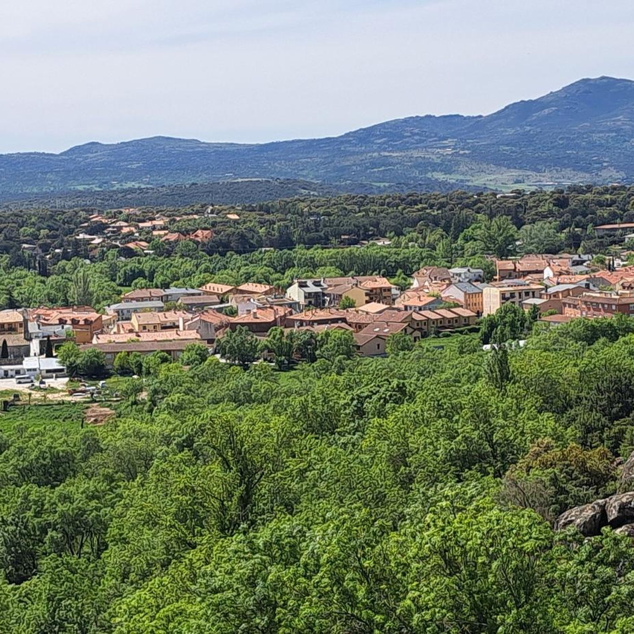
The path goes through a beautiful grove of large oak trees, passes the Umbría de la Raya hut and climbs up to the pastures of Parada del Rey. On the left-hand side, on the Peña de la Iruela hill, a group of huddled and solitary Pyrenean oaks stands out. The most unique aspect is the huge branches that scatter and dance in all directions. La Parada del Rey is a traditional resting place for the herds that roamed the mountains, a place rich in pastures to feed before facing the hard journey of the Altos de la Morcuera. The cattle trails have also been used as communication routes, and numerous current highways have even been built on them. The Cordel del Puerto de la Morcuera is on the old Camino Viejo from Madrid to El Paular, also called Camino Real de Rascafría, and the carriages and cavalry used the meadows of the Parada del Rey to rest on the journey through the mountains. On one occasion, Isabel del Borbón, wife of Felipe IV, was traveling from Madrid to the El Paular charterhouse and the royal entourage stopped at the resting place at Peña de la Iruela. At that time the name of the municipality was Porquerizas de la Sierra, since the 13th century, when it was repopulated by Segovian farmers who were dedicated to raising pigs. The queen was contemplating the landscape and was impressed by the amount of flowers that grew in those meadows, immediately ordering the name of the town to be changed to Miraflores de la Sierra. At that time, the mountain village exalted the local place name and the area of the pastoral glen is called Parada del Rey.
1
0
나발라푸엔테 주변에서 가장 인기 있는 명소


더 살펴보기
나발라푸엔테 주변의 최고의 동굴을 찾기 위해 이 가이드를 확인해보세요:
