발레세코에서 가장 멋진 9개의 산길
발레세코에서 가장 멋진 산길을 아래에서 살펴보세요. 풍경을 감상하기에도 좋고, 오르막길/내리막길을 따라 걷기에도 좋은 곳이랍니다. 커뮤니티가 특별 도움을 통해 공유한 콘텐츠인 만큼 믿을 수 있는 정보이니 마음에 드는 산길이 있다면 바로 다음 모험 계획에 추가해서 바로 방문해보세요.
마지막 업데이트: 8월 25, 2026

산 바르톨로메에서 아야카타로 가는 도로
하이라이트 (구간) • 자전거 도로
팁에 의해

이런 장소를 발견하려면 지금 가입하세요
최고의 싱글 트랙, 봉우리 및 다양한 흥미로운 야외 장소에 대한 추천을 받아보세요.
무료 회원 가입
GC-130 경치 좋은 도로
하이라이트 (구간) • 산악 고개
번역자 Google •
팁에 의해

Degollada de la Cruz Grande 전망대
하이라이트 • 전망대
번역자 Google •
팁에 의해

데골라다 데 로스 오르노스 고개
하이라이트 • 산악 고개
번역문 보기
팁에 의해

무료로 가입하여 발레세코 주변의 더 많은 산악 고개를 발견하세요.
무료 회원 가입
이미 komoot 계정이 있나요?
오늘 무료 계정으로 시작하세요
다음 모험이 기다리고 있어요.
로그인 또는 가입하기


커뮤니티 팁

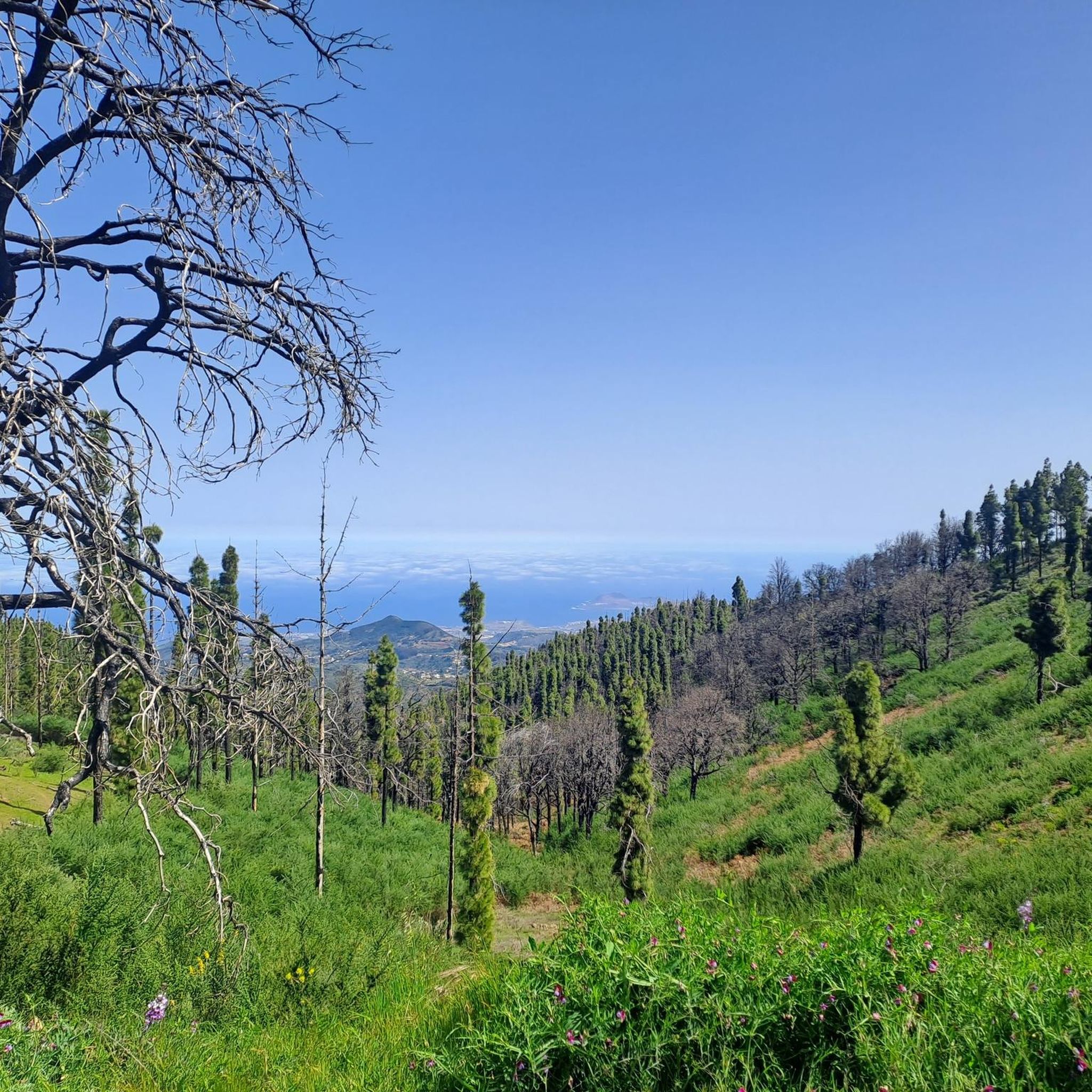
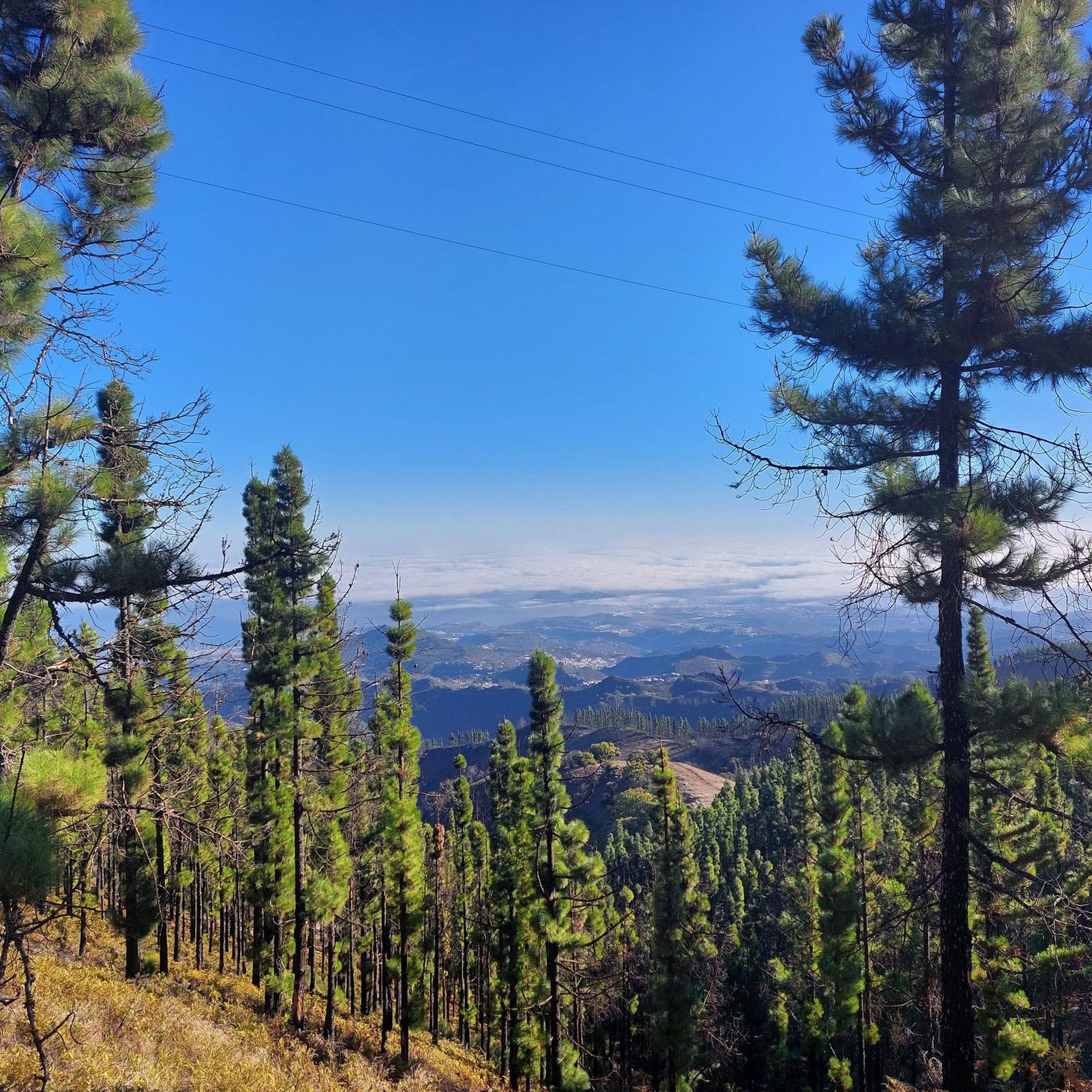
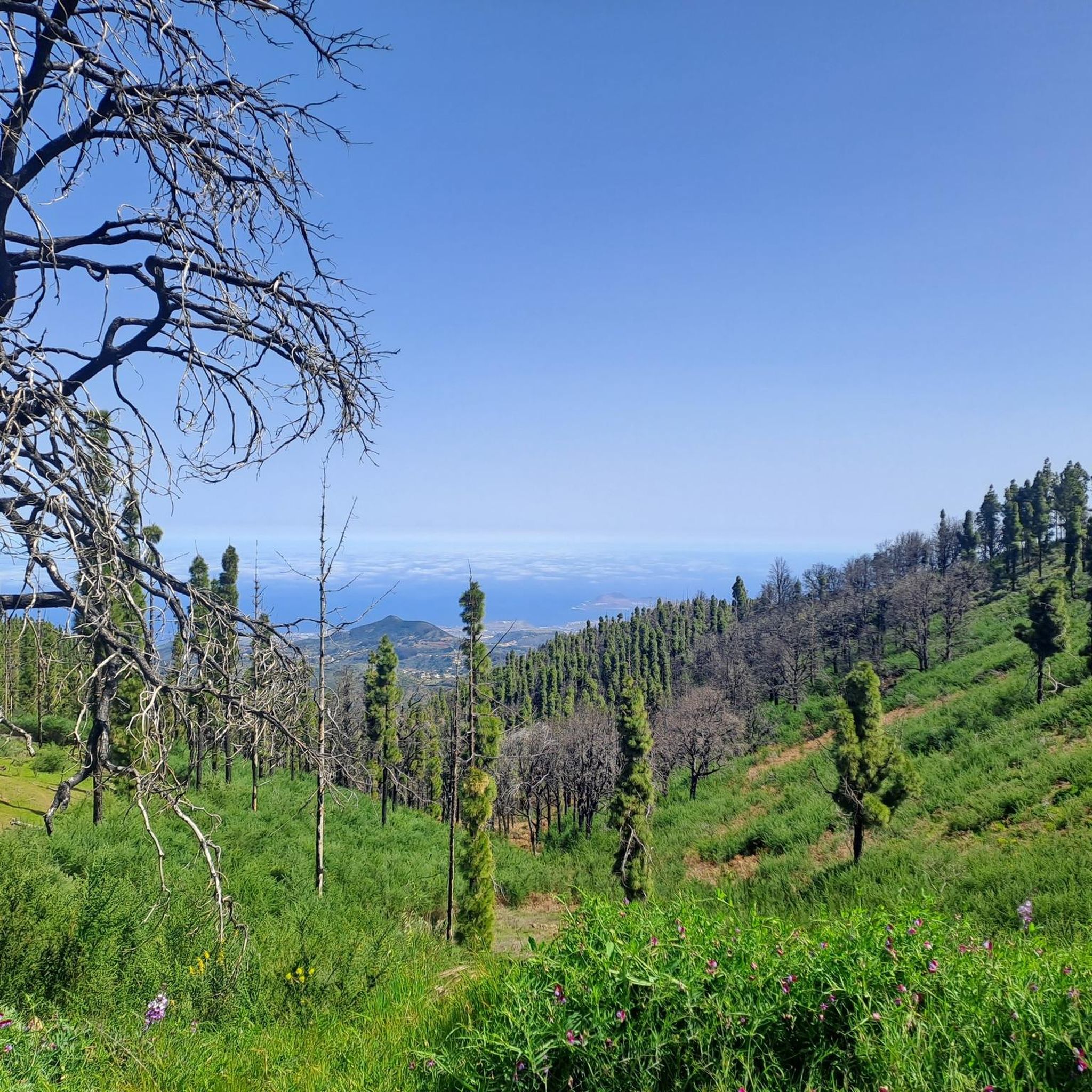
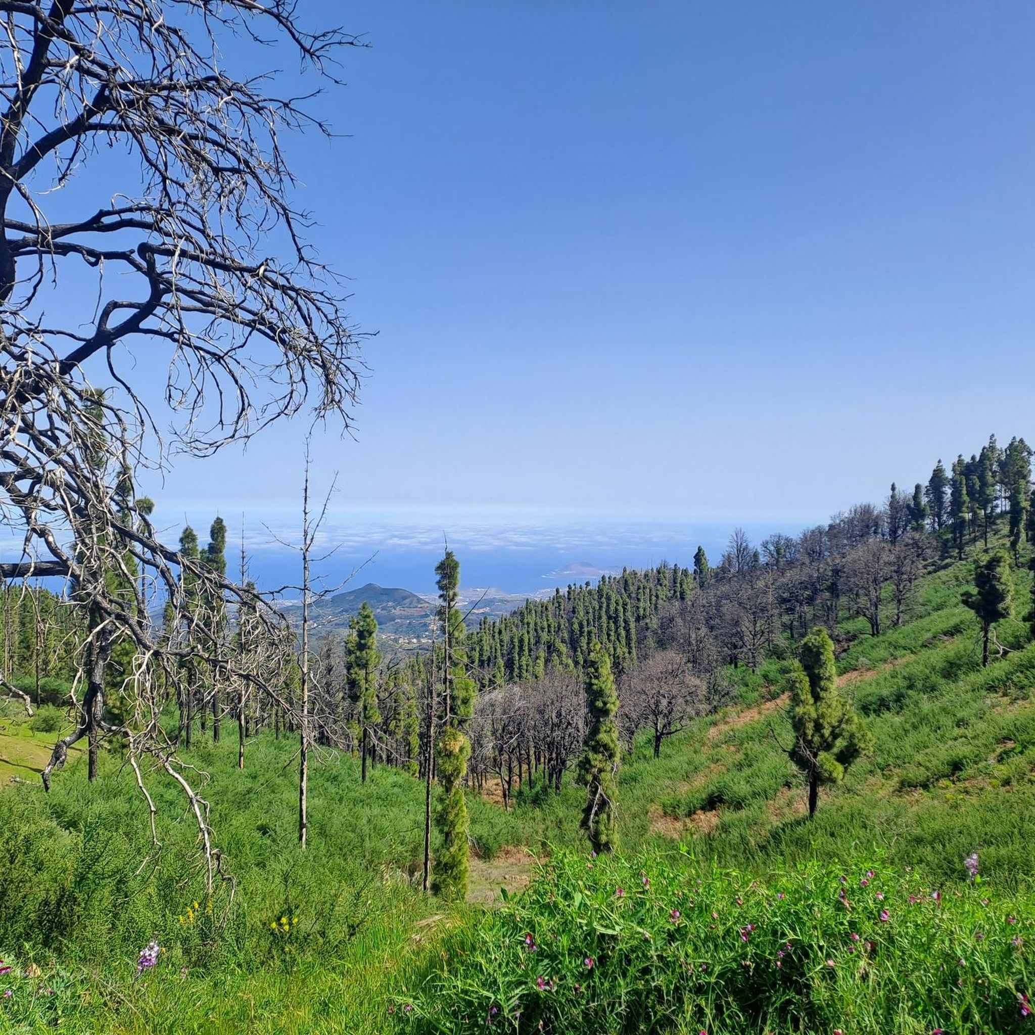
소나무 숲 한가운데에 있는 아름다운 장소에서, 피코 데 라스 니에베스까지 오르기 위해 위쪽 또는 아래쪽 하이킹 트레일을 선택할 수 있습니다.
0
0

The entire route is freshly paved. A dream.
1
0

From here you can go hiking, there is a public car park nearby. Locals offer various delicacies😊
1
0
Cruz Grande is an excellent starting point for many hikes.
1
0

The Degollada (valley) of the Cruz Grande offers views of two different valleys. On one side you can see the Caldera de Tirajana, and on the other the Chira basin and the pine forest of Pilancones. This is where the paths from north to south cross. The main route is known as the Ruta de la Plata, and was formerly part of a cattle route for transhumance, as well as part of the Way of St. James in Gran Canaria. The oldest volcanic materials are clearly visible in the Caldera de Tirajana due to the effect of erosion, such as the vent "Risco Blanco" and the volcanic layers "Rompeserones" and "Sepultura del Gigante". The plateaus "El Sequero", "El Sitio" and "Los Llanos de Madrid" were formed by the sliding of volcanic materials. In the ravines are the archaeological sites of. "Rosiana", "Los Sitios" and "La Fortaleza de Ansite". In the fertile and cultivated valley you can see the remains of the former palm groves that originally grew here. The Canary Island pine is common in the upper region of the caldera and the slopes are a habitat for some native botanical rarities. In the upper region of Ayagaures is the natural park and pine grove, Parque Natural de Pilancones, which has a great geological and botanical landscape value. As for the flora of the area, the Canary Island pine plays a major role. A species of rockrose and a viper's bugloss are particularly noteworthy. The area is also a bird sanctuary for the native great spotted woodpecker and the finch. The area was declared a World Biosphere Reserve by UNESCO on 29 June 2005.
3
0

Here you can decide whether you want to climb to the Pico de las Nieves via the upper or lower hiking trail.
4
0
The Cruz Grande is a pass that lies at an altitude of 1249 meters. The saddle is also called Degollada de la Cruz Grande. From up there you can enjoy views of two different valleys. On one side you can see the Caldera de Tirajana and on the other side the Chira basin. Many old paths meet at the Cruz Grande, such as the Ruta de la Plata, which is also part of the Way of St. James in Gran Canaria. During your hike you will also come to the Cruz Grande. From there you descend on the Camino Real to San Bartolomé.
2
0
The Degollada (valley) of the Cruz Grande offers views of two different valleys. On one side you can see the Caldera de Tirajana, and on the other the Chira basin and the pine forest of Pilancones. This is where the paths from north to south cross. The main route is known as the Ruta de la Plata, and was formerly part of a cattle route for transhumance, as well as part of the Way of St. James in Gran Canaria. The oldest volcanic materials are clearly visible in the Caldera de Tirajana due to the effect of erosion, such as the vent "Risco Blanco" and the volcanic layers "Rompeserones" and "Sepultura del Gigante". The plateaus "El Sequero", "El Sitio" and "Los Llanos de Madrid" were formed by the sliding of volcanic materials. In the ravines are the archaeological sites of. "Rosiana", "Los Sitios" and "La Fortaleza de Ansite". In the fertile and cultivated valley you can see the remains of the former palm groves that originally grew here. The Canary Island pine is common in the upper region of the caldera and the slopes are a habitat for some native botanical rarities. In the upper region of Ayagaures is the natural park and pine grove, Parque Natural de Pilancones, which has a great geological and botanical landscape value. As for the flora of the area, the Canary Island pine plays a major role. A species of rockrose and a viper's bugloss are particularly noteworthy. The area is also a bird sanctuary for the native great spotted woodpecker and the finch. The area was declared a World Biosphere Reserve by UNESCO on 29 June 2005.
6
1
발레세코 주변에서 가장 인기 있는 명소


더 살펴보기
이 가이드를 통해 더 많은 장대한 산악 통과를 확인해보세요 발레세코 주변:
