피얄러에서 가장 멋진 4개의 산 정상
피얄러의 산 정상에 오르면 이 지역의 아름다운 모습을 제대로 구경할 수 있어요. 다만, 4
곳이나 되는 산 정상 중에서 어떤 곳을 가야 할 지 고민된다는 게 문제죠. 피얄러에서 가장 멋진 산 정상을 살펴본 후에 마음에 드는 산 정상을 다음 모험 계획에 추가해보세요.
마지막 업데이트: 8월 22, 2026
Gygrekjeften 암석 지형
하이라이트 • 자연 기념물
팁에 의해

Kolgrovheia (497m)
하이라이트 • 정상
번역자 Google •
팁에 의해

이런 장소를 발견하려면 지금 가입하세요
최고의 싱글 트랙, 봉우리 및 다양한 흥미로운 야외 장소에 대한 추천을 받아보세요.
무료 회원 가입
Templane 정상
하이라이트 • 정상
팁에 의해

피오르드와 산의 전망
하이라이트 • 전망대
번역자 Google •
팁에 의해

Einingsfjellet - 360도 전망
하이라이트 • 정상
번역문 보기
팁에 의해

오늘 무료 계정으로 시작하세요
다음 모험이 기다리고 있어요.
로그인 또는 가입하기
피얄러 주변 인기 장소
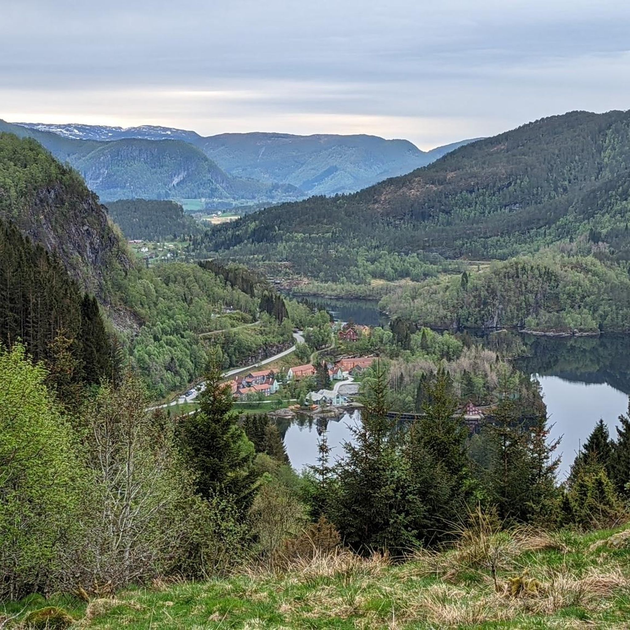
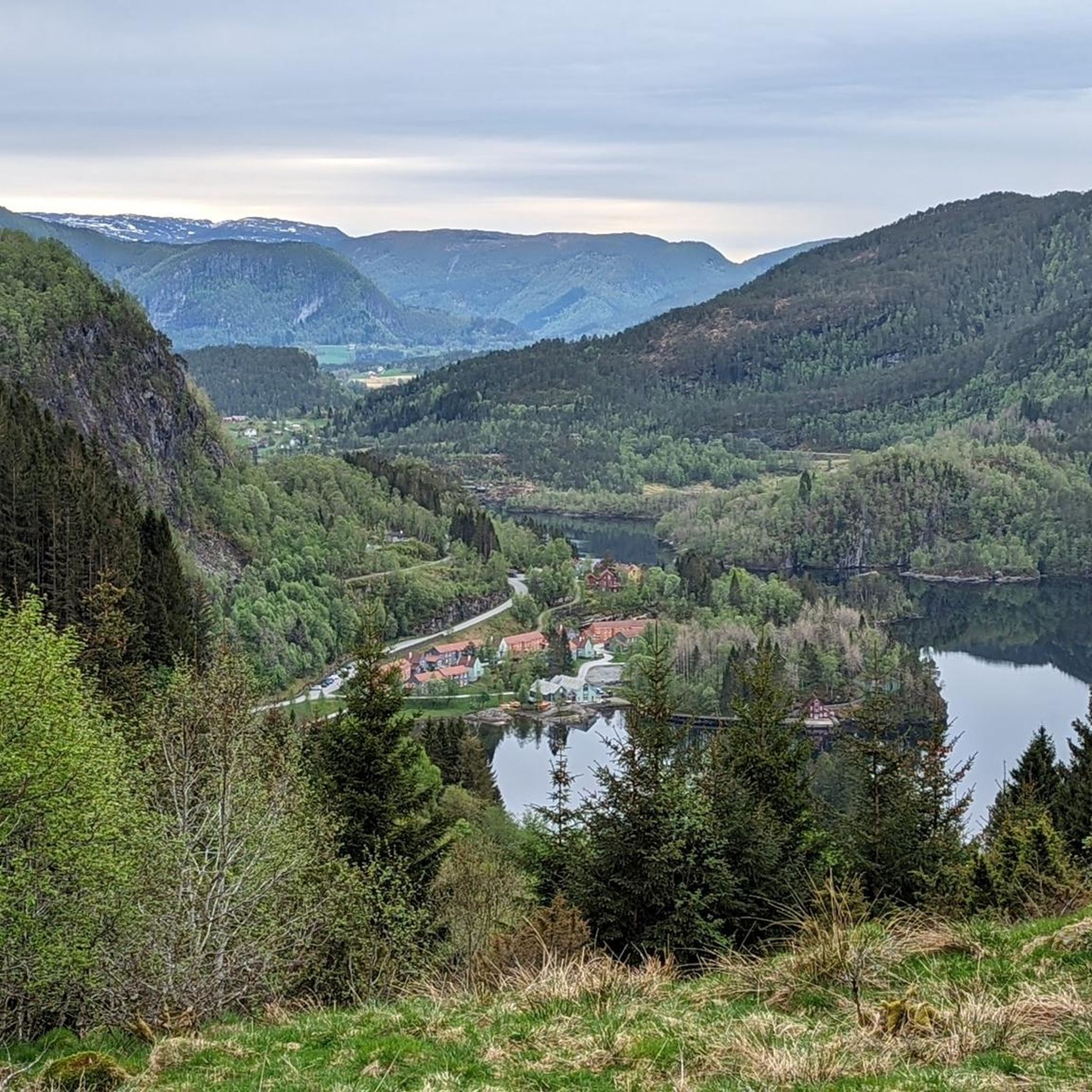
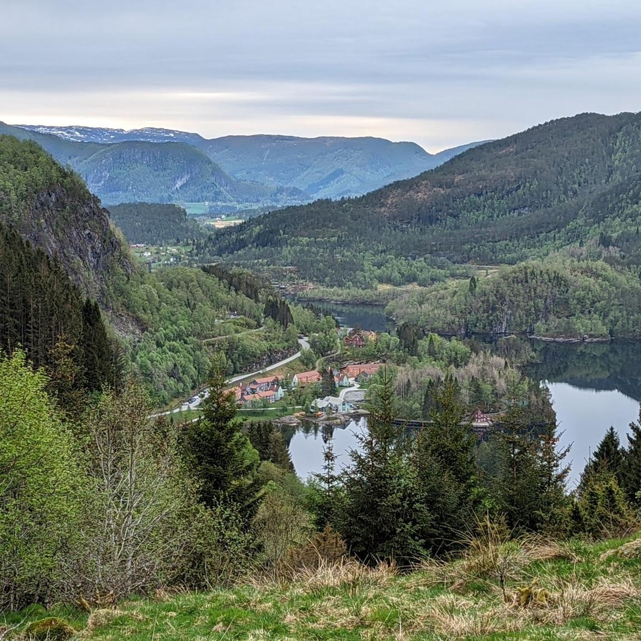
커뮤니티 팁

트레일의 험난한 지형을 따라 정상까지 올라가는 힘든 하이킹 끝에는 피오르와 산의 아름다운 탁 트인 전망이 있으며, 벤치와 정보 지도가 있어 아래로 내려가기 전에 상쾌하고 즐거운 휴식을 취할 수 있습니다.
0
0

Templane is 483 m above sea level and from the top, you can enjoy a splendid view to the west over Lihesten, Alden, and the islands of Værlandet and Bulandet when the weather is clear.
0
0

The path via the normal route "left around" has been extensively renovated, with Sherpa stairs over the steep step to the plateau and wooden bridges over the mud
0
0

Summit. In wet conditions, the entire trail is very slippery. Feet are constantly in puddles and mud. Waterproof shoes! Best only in good weather.
0
0

View of fjords and mountains - had to turn around here on the way to the summit because the wind was too stormy
0
0
Great hike, but better plan a little more time. We needed about 6 hours for the whole route... (with a 30-minute break) And on the direct way to the summit you have to be prepared for climbing with ladders and ropes :D
1
0
피얄러 주변에서 가장 인기 있는 경로
피얄러 주변에서 가장 인기 있는 명소


더 살펴보기
이 가이드를 통해 피얄러 주변의 더 놀라운 정상들을 확인해보세요:
