템세에서 가장 멋진 20개의 천연기념물
천연기념물을 방문하여 템세의 아름다운 풍경을 만나보세요. 템세에 있는 20
개의 천연기념물과 상세 정보를 살펴본 후에 방문하고 싶은 천연기념물을 다음 모험 계획에 추가해보세요!
마지막 업데이트: 8월 22, 2026
플란데런의 지리적 중심점
하이라이트 • 기념물
번역자 Google •
팁에 의해

베넨드블리트 - 셸레
하이라이트 • 강
번역자 Google •
팁에 의해

이런 장소를 발견하려면 지금 가입하세요
최고의 싱글 트랙, 봉우리 및 다양한 흥미로운 야외 장소에 대한 추천을 받아보세요.
무료 회원 가입
Hof te Melis의 아름다운 전망
하이라이트 • 성
번역자 Google •
팁에 의해
몰스브룩 자연보호구역
하이라이트 • 자연 기념물
번역자 Google •
팁에 의해

Hingenewiel (힌게네뷜)
하이라이트 • 호수
번역자 Google •
팁에 의해
무료로 가입하여 템세 주변의 더 많은 자연 기념물을 발견하세요.
무료 회원 가입
이미 komoot 계정이 있나요?



커뮤니티 팁


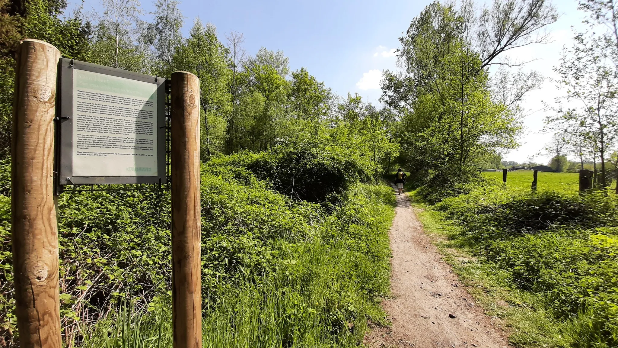
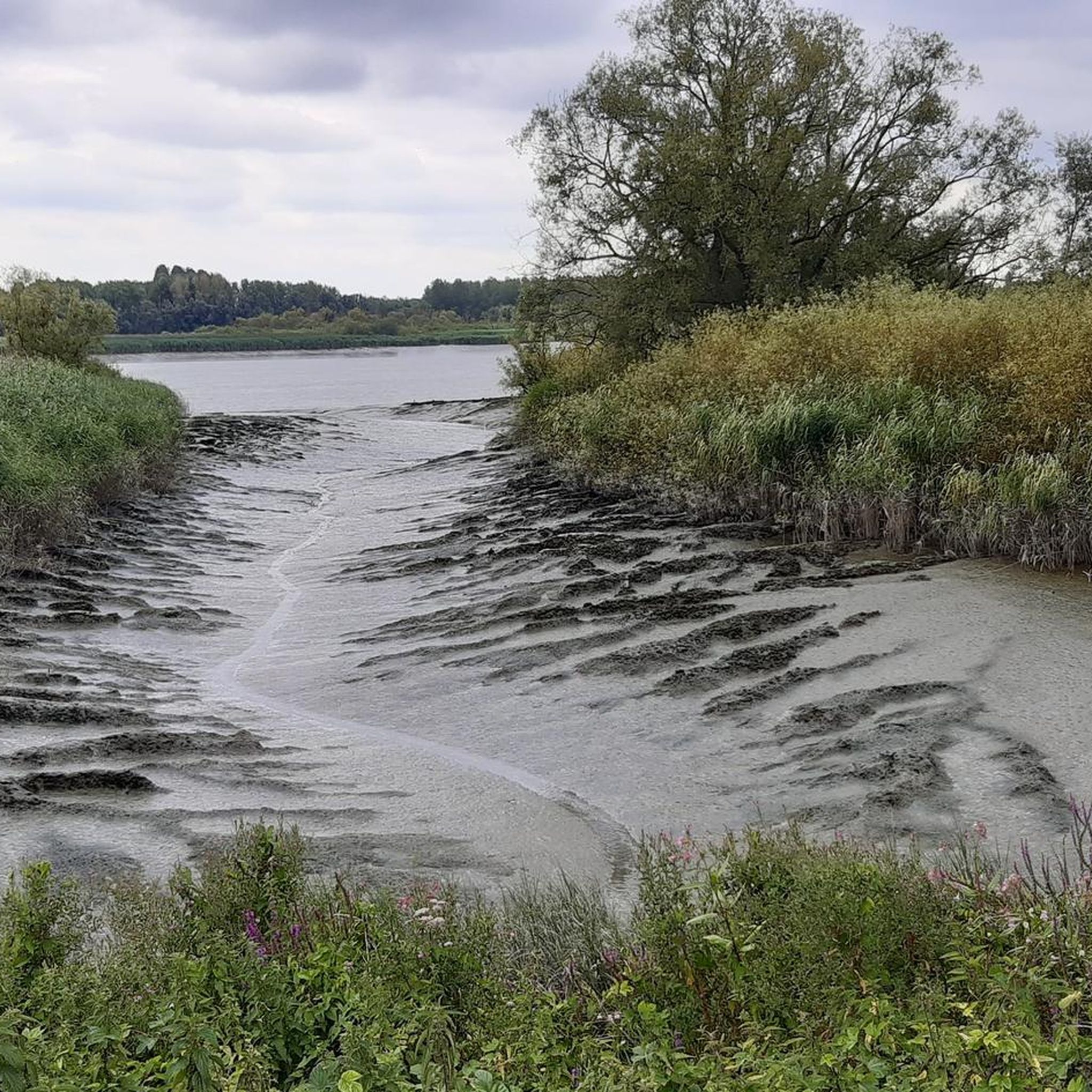
When you think of nature in Lokeren, you immediately think of the Molsbroek! It is the largest protected nature reserve (more than 80 hectares) in the region. Many visitors seek out the peaceful watery landscape. Enjoy at your own pace.
1
0
It is good to know where the center is in Flanders. Well, this is not the political center of Flanders, but the geographical center.
5
1

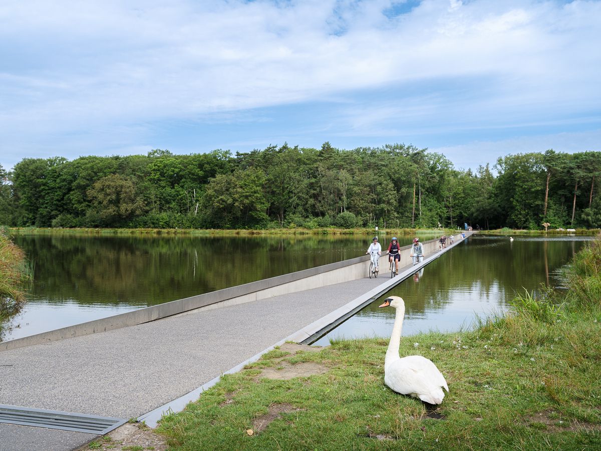
Cycling along two nature reserves: Molsbroek and the Buylaerts...
0
0

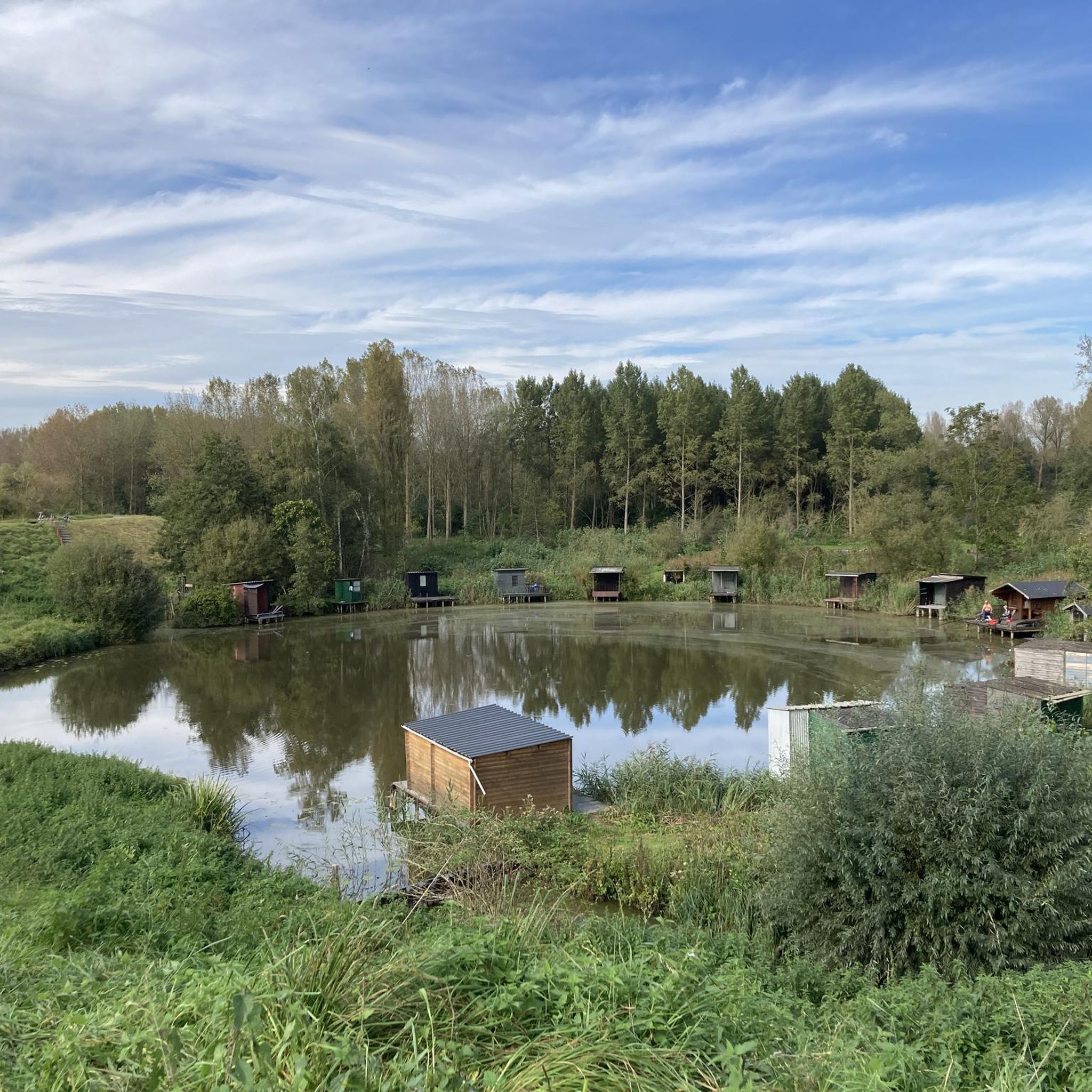
The wheel is privately owned, but you walk right past it (on the Victor De Witstraat). No one knows for sure how the Hingenewiel was formed. We know that the Spierenbroek flooded around 1552. After failed attempts to close the Spierenbroekgat, the other polders flooded in November 1554, because the pladderdijk broke. We suspect that this is how the Hingenewiel was formed. A pladderdijk is a cross dike that runs from the stream through the polder (so not along the river). This large wheel was originally even larger, probably the Ketelwiel used to be part of this wheel. In the middle of this wheel was an island with a tower on it. The Hingenewiel became smaller due to natural silting up. Kingfisher, grebe, coot, moorhen, gadwall and shelduck breed here, among other things. But you can also admire fire damselfly, ostrich fern and yellow water lily here. (Regional Landscape Schelde-Durme)
11
0

The geographical centre of Flanders was determined by students of the Faculty of Applied Sciences of the University of Leuven. Using GPS measurements and with the help of mathematics teacher Prof. Theo Van der Waeteren, the centre was determined in 1999: it is located in the far corner of East Flanders, a few dozen metres from the previously determined "three-province point" (East Flanders, Antwerp and Flemish Brabant). Just a few metres from the territory of Sint-Amands, it is just in Opdorp, a sub-municipality of Buggenhout. The coordinates are: 51° 2′ 16″ N, 4° 14′ 26″ E. A monument was placed at this point in 2003.
2
0

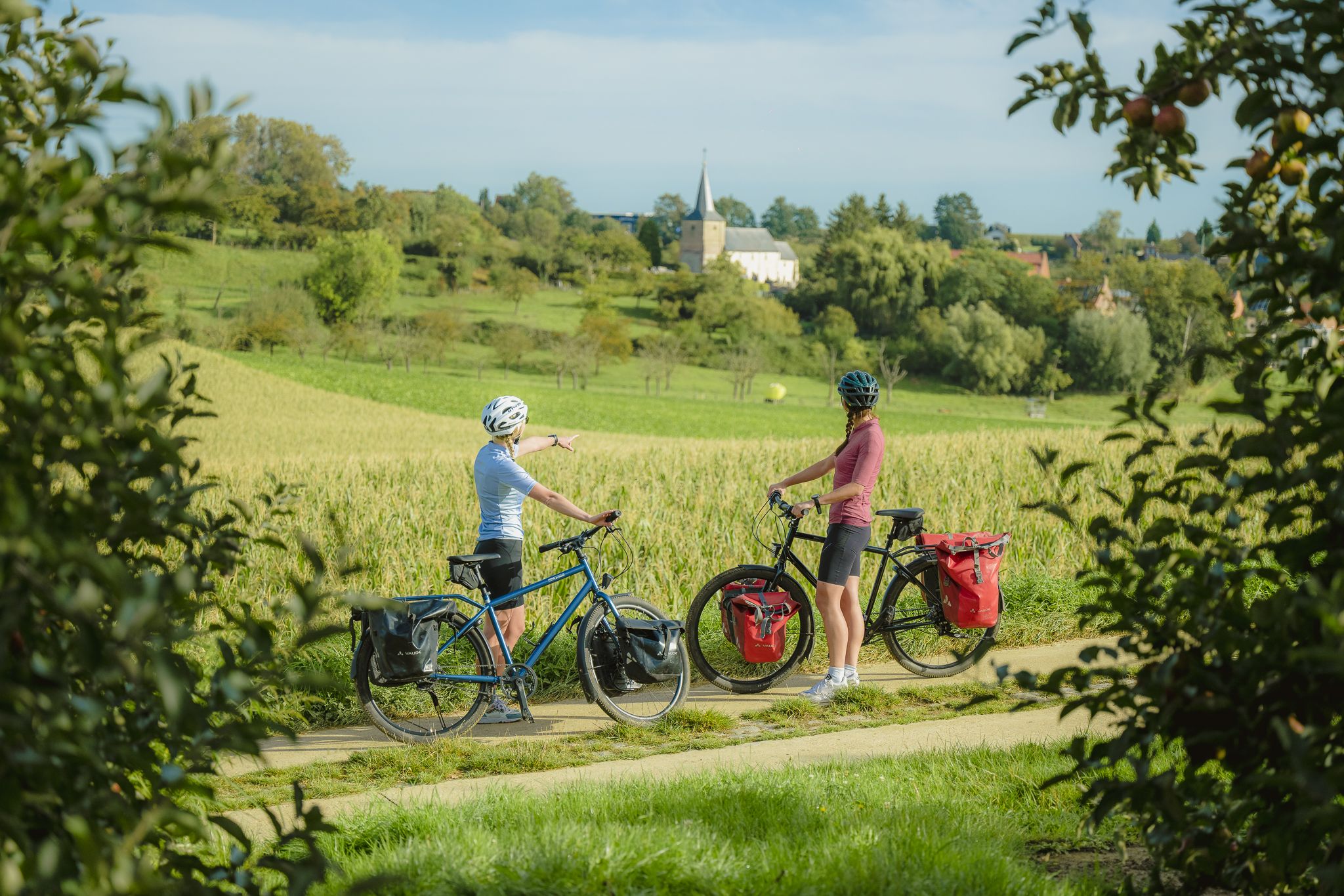
Beautiful view of Hof te Melis. The winter months and spring offer the most beautiful views of the old Hof te Melis. Hof te Melis is a protected landscape due to its scientific, historical, and aesthetic value. It is a castle with a moat. The castle is built in the Neo-Renaissance style. A turbulent historical past... Before the First World War, the castle consisted of a forecourt, surrounded by outbuildings and with access to a courtyard. When the German army entered Lippelo in 1914, the domain was occupied by the invaders. It then came under fire from Fort Bornem. Hof te Melis partially burned down. It was rebuilt in 1920, deviating from the original floor plan. The outbuildings and gatehouse remain intact. At this location, you can thus glimpse a powerful past.
5
0


