신트 로랭에서 가장 멋진 18개의 천연기념물
천연기념물을 방문하여 신트 로랭의 아름다운 풍경을 만나보세요. 신트 로랭에 있는 18
개의 천연기념물과 상세 정보를 살펴본 후에 방문하고 싶은 천연기념물을 다음 모험 계획에 추가해보세요!
마지막 업데이트: 8월 22, 2026
슬루이스 외곽 성벽
하이라이트 • 역사적 장소
번역자 Google •
팁에 의해

Boerekreek
하이라이트 • 호수
번역자 Google •
팁에 의해

이런 장소를 발견하려면 지금 가입하세요
최고의 싱글 트랙, 봉우리 및 다양한 흥미로운 야외 장소에 대한 추천을 받아보세요.
무료 회원 가입

Het Vuil Poelke
하이라이트 • 자연
번역자 Google •
팁에 의해
조류 관찰 오두막 De Boerekreek
하이라이트 • 산장
Know that it is quite busy in the bird hide. …
번역자 Google •
팁에 의해
무료로 가입하여 신트 로랭 주변의 더 많은 자연 기념물을 발견하세요.
무료 회원 가입
이미 komoot 계정이 있나요?
오늘 무료 계정으로 시작하세요
다음 모험이 기다리고 있어요.
로그인 또는 가입하기



커뮤니티 팁

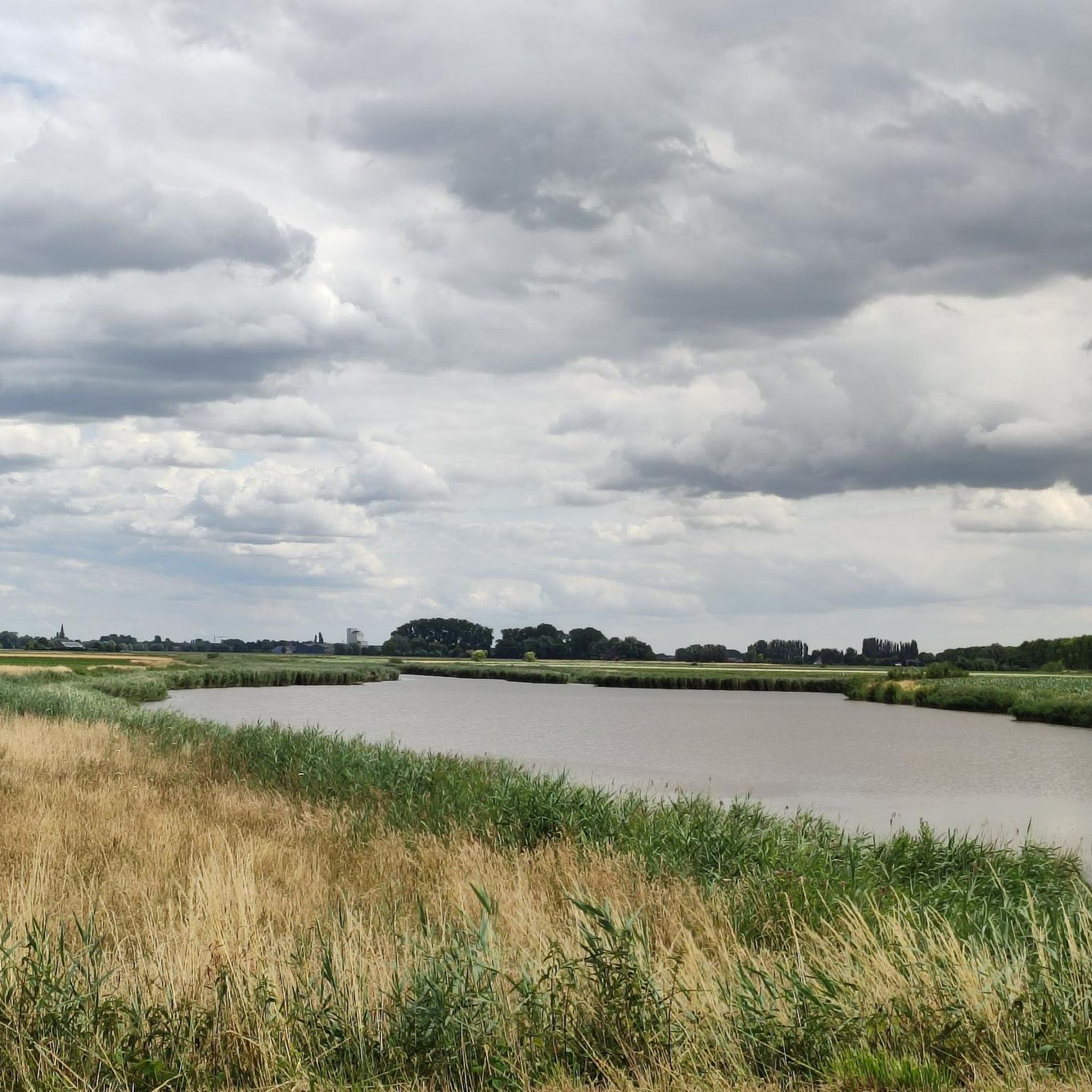
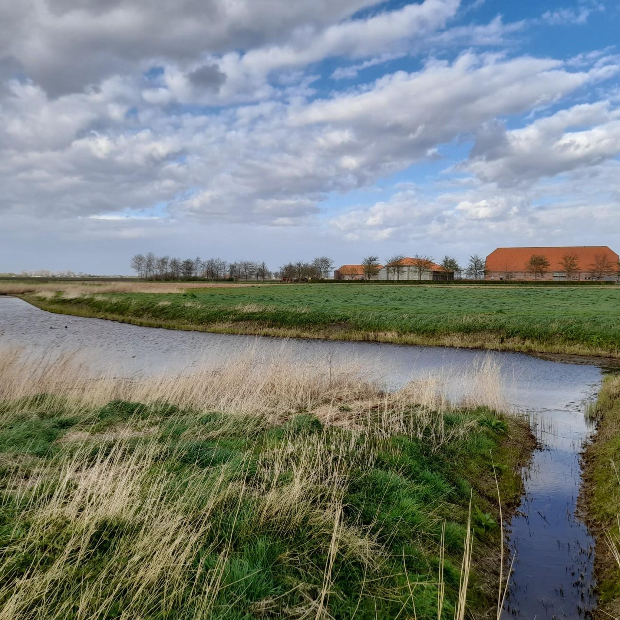
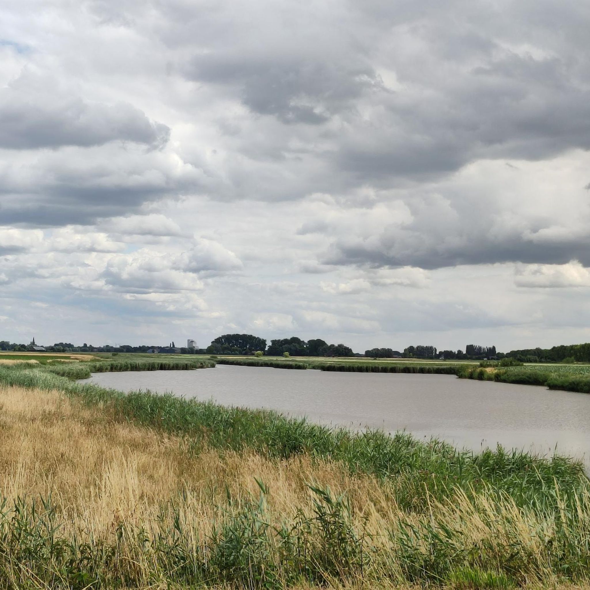
This creek connects to the Boerekreek to the west and to the Oudemanskreek to the east. It contains brackish water. The creek lies directly north of the Leopold Canal. Due to silting, the creek could no longer drain, which caused problems for agriculture. Therefore, around 2000, the drainage to the Leopold Canal on the east side was improved, the creek was also dredged, and the banks were reinstated to the nature reserve. (Wikipedia)
7
0


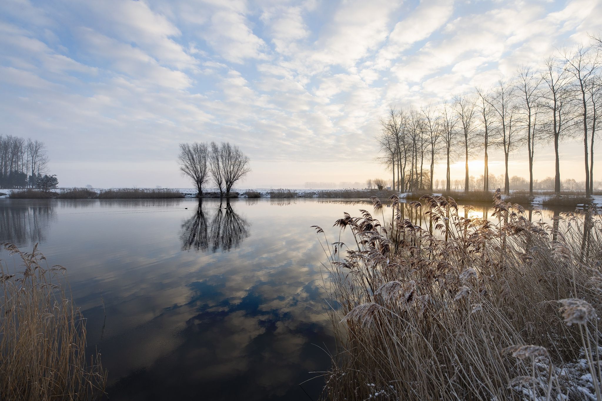
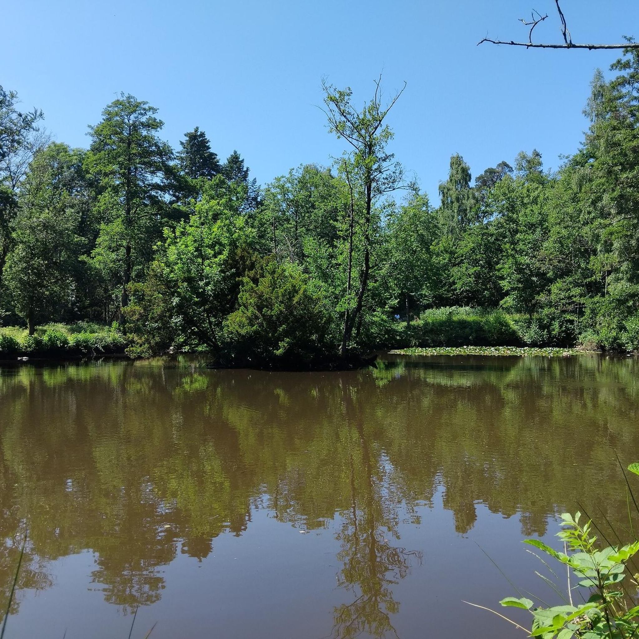
The famous Graaf-Jansdijk once cut through the landscape here, offering protection against storm surges. For years, the area served as arable land, until Natuurpunt converted it into grassland. A flower-rich hay meadow is now developing around the Vuil Poelke, alternating with a flower-rich reed land. You can see a gradual transition from moist to very wet zones. Small landscape elements receive a lot of attention here: around the Vuil Poelke, the natural value of the pollard willows increases year after year. They develop into gnarled old trees, appreciated by everyone. Simply enjoy the historic landscape in restoration. Source: information can be read on site.
8
0
Creek, located next to the elevated roadway to Sint-Jan-in-Eremo. Creek contains brackish water. A creek where the eel feels at home.
8
0

Viewpoint over the Boerenkreek: De Boerekreek: centre for nature experience and recreation With its 38 hectares, the Boerekreek is the largest creek in East Flanders. The Provincial domain De Boerekreek that extends around this creek offers plenty of recreational opportunities. The area is partly a nature reserve and is managed by Natuurpunt, while the provincial sports centre offers a riding school, covered wagon rides and sports camps. For nature lovers who want to stay overnight, the domain offers various accommodation options for families and groups. During the week you often see school classes there, and at the weekend there are numerous family activities to experience under the name “Experience the Boerekreek.”
1
0

It is a magnificent walking route in which you pass many creeks. Time can be made for a stop along the creeks for a picnic or rest moment with a beautiful view. Recommended!
0
0
The Red Light District of Sluis is interesting because of its natural and cultural-historical values. The ramparts date from the 14th century. Sluis flourished at that time as a trading city due to its location on the Zwin. The Zwin was an important estuary and waterway. At the end of the 15th century, Sluis' trade and prosperity declined sharply due to the silting up of the Zwin. But Sluis remained important as a fortress during the Eighty Years' War (1568 to 1648). Nowadays, nature flourishes here. Many characteristic plants grow there and various bird species breed there. In addition, this is one of the few places where you can find the rare tree frog. There is plenty to see and experience during your visit to the Red Light District of Sluis. More information at https://www.hetzeeuwselanden.nl/natuurgebied/wallen-van-sluis
5
0


