경로

플래너

기능

업데이트

App

로그인 또는 가입

앱 다운로드

로그인 또는 가입

경로
Places to see
Mountain passes
이탈리아
롬바르디아
레코

타세노

타세노‬에서 가장 멋진 ‪10‬개의 산길

타세노에서 가장 멋진 산길을 아래에서 살펴보세요. 풍경을 감상하기에도 좋고, 오르막길/내리막길을 따라 걷기에도 좋은 곳이랍니다. 커뮤니티가 특별 도움을 통해 공유한 콘텐츠인 만큼 믿을 수 있는 정보이니 마음에 드는 산길이 있다면 바로 다음 모험 계획에 추가해서 바로 방문해보세요.

마지막 업데이트: 7월 12, 2026

벨라조에서 마돈나 델 기살로까지 오르기

하이라이트 (구간) • 정상

Allegedly the most popular climb in the Lake Como area, it's a bucket-list destination for all grimpeurs. The side from Bellagio (probably the harder one) averages 4.5% gradient which is …

에 의해

라이딩 보기

휴대폰으로 전송

저장

Traverso al Passo del Larice Bruciato

하이라이트 • 트레일


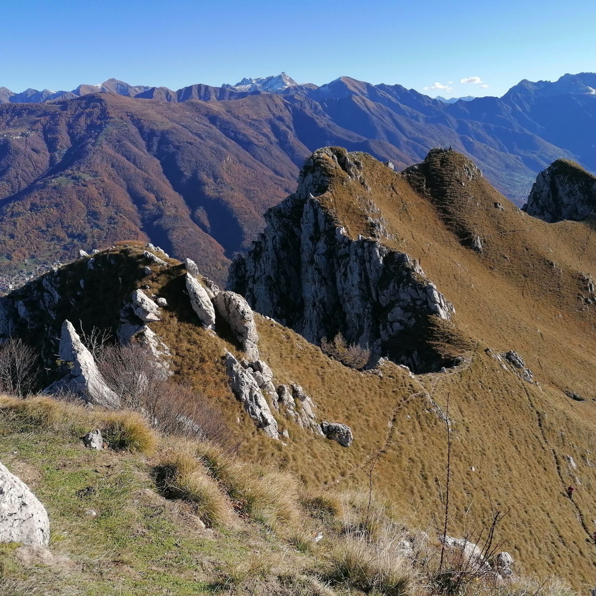
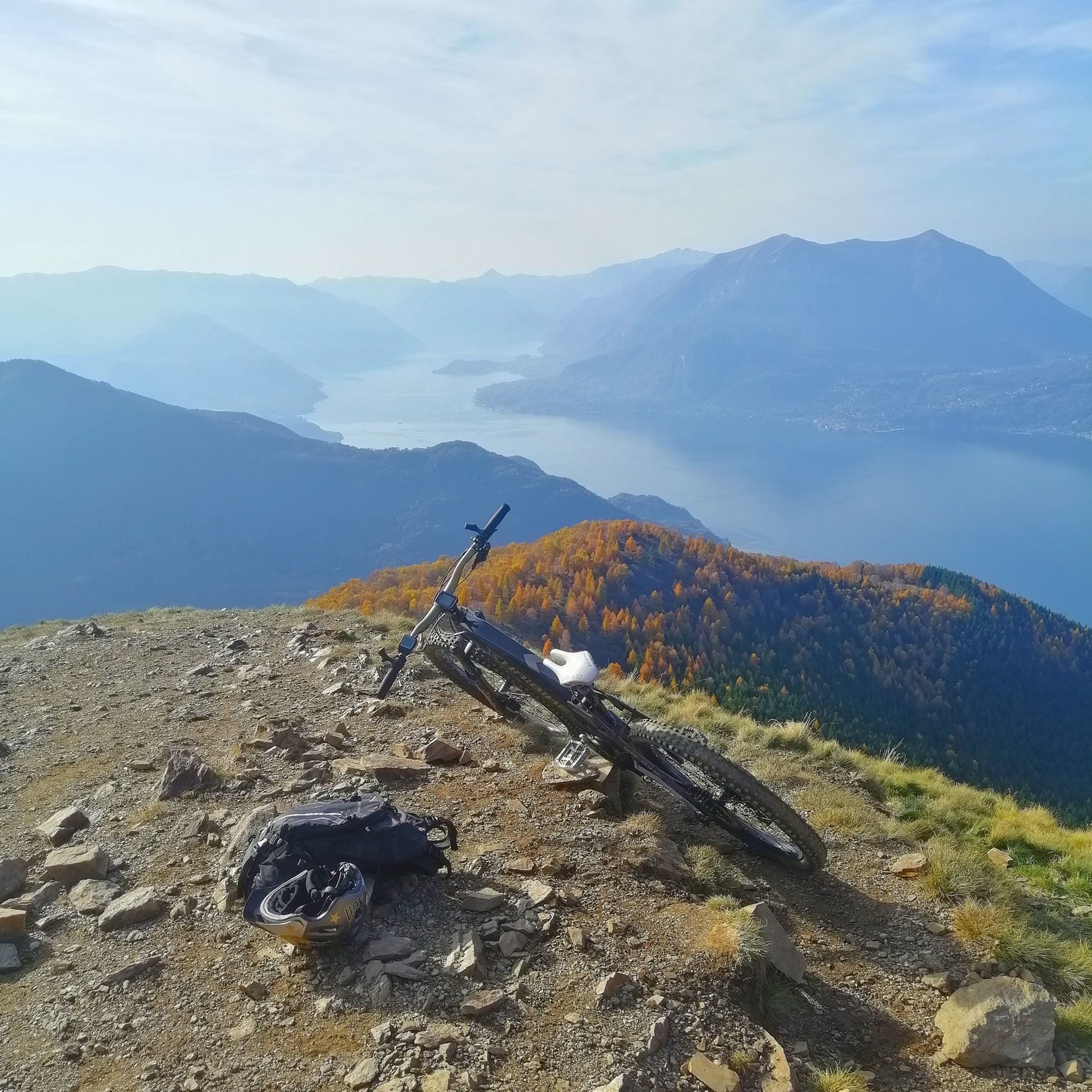
Panoramic path towards Larice Bruciato

번역자 Google •

에 의해

저장

이런 장소를 발견하려면 지금 가입하세요

최고의 싱글 트랙, 봉우리 및 다양한 흥미로운 야외 장소에 대한 추천을 받아보세요.

무료 회원 가입

Ascent of the Valsassina among the most landscape. Descent with lake view of priceless beauty

번역자 Google •

에 의해

저장

아구엘리오 고개

하이라이트 (구간) • 산악 고개

The climb to the Passo di Agueglio starts from Varenna on Lake Como. It is about 17 kilometers long with 1000 meters of elevation gain, follows a road that is …

번역자 Google •

에 의해

저장

콜레 발세키

하이라이트 • 산악 고개

Situated at 1,898 metres above sea level, Colle Valsecchi is close to both the Rosalba refuge and the Grignetta peak, and is a crossroads for both of these destinations. Here …

번역자 Google •

에 의해

저장

무료로 가입하여 타세노 주변의 더 많은 산악 고개를 발견하세요.

무료 회원 가입

이미 komoot 계정이 있나요?

오늘 무료 계정으로 시작하세요

다음 모험이 기다리고 있어요.
로그인 또는 가입하기

타세노 주변 인기 장소

타세노 하이킹

타세노 러닝 트레일

타세노 로드 사이클링 경로

타세노 MTB 트레일

타세노 사이클링

타세노 주변 그래블 라이딩

타세노 등산

커뮤니티 팁

_🇮🇹🚵Pedalo anche io Youtube🚵🇮🇹_
6월 1, 2026, Traverso al Passo del Larice Bruciato

Larice Bruciato로 가는 경치 좋은 길 https://youtu.be/TQC128VMamg

번역: Google

5

0

fun passage on rocks in the area of the electricity pylons above the road, to follow it you have to stay on the ridge path and then go down onto the rocks below in correspondence with the pylons

번역: Google

0

1

The climb to the Passo di Agueglio starts from Varenna on Lake Como. It is about 17 kilometers long with 1000 meters of elevation gain, follows a road that is sometimes narrow and passes through the town of Esino Lario. It has some ramps in double figures but in general it is a rideable climb that offers beautiful views of the Lario.

번역: Google

0

0

Situated at 1,898 metres above sea level, Colle Valsecchi is close to both the Rosalba refuge and the Grignetta peak, and is a crossroads for both of these destinations. Here the trail is equipped with a rope anchored to the rock and is not very easy to follow.

번역: Google

1

0

The Ghisallo climb is a legendary one.

번역: Google

16

0

VERY NICE PLACE FOR CYCLISTS

번역: Google

1

0

The Ghisallo hill (Ghisall in Lombard) is a road pass that connects Valassina with the upper part of the Lariano Triangle. The crossing point, at an altitude of 754 m above sea level, is part of the municipality of Magreglio. A few meters from the pass there is a small church: the sanctuary of the Madonna del Ghisallo. Its name (according to an ancient legend) derives from a certain Ghisallo who in medieval times was attacked by bandits in that place and made a vow to the Madonna to build a church in his honor if he escaped. The sanctuary of the Madonna del Ghisallo The Ghisallo climb (from the north side) is traditionally covered by the Giro di Lombardia and has also been included several times in the route of the Giro d'Italia. For this reason, the Madonna del Ghisallo is particularly venerated by cyclists, and on the initiative of the then parish priest Don Ermelindo Viganò (1906–1985), in 1949 Pope Pius XII proclaimed her the universal patroness of cyclists. Next to the sanctuary you can find the Cycling Museum and the "Monument to the cyclist", designed and created by Elio Ponti, sculptor from Ponzate, Como. Source: Wikipedia

번역: Google

5

0

Super panoramic climb from Varenna to Passo Agueglio. Little traffic on weekends, just watch out for groups of motorcyclists who sometimes tend to cut corners too much. There is a bit of everything, hairpin bends, straight sections, significant slopes, especially at the beginning and end of the ascent, you pass by some villages and then through more wooded areas. Once you reach the top, a truly remarkable panorama opens up which, as they say, repays the effort. Watch out for the descent on the other side, the asphalt is in good condition and it's really fun to do but you often find rocks in the middle of the road.

번역: Google

3

0

타세노 주변에서 가장 인기 있는 경로

타세노 하이킹

타세노 주변에서 가장 인기 있는 명소

Places to see

Store rating

komoot 모바일 앱으로 영감을 받아보세요

무료 komoot 계정로 끝없는 야외 모험을 손쉽게 찾고, 맞춤 설정하며 길안내할 수 있어요.

또는

지금 komoot에 가입하세요

Store rating

더 살펴보기

이 가이드를 통해 더 많은 장대한 산악 통과를 확인해보세요 타세노 주변:

에시노 라리오프리말루나아바디아 라리아나만델로 델 라리오파스투로시바테발라비오발마드레라소개모지오올리베토 라리오카시나 발사시나바르지오크레메노갈비산염에르베모르테론리에나카레노페스케이트말그레이트칼로지오코르테올긴산염베르쿠라고갈레이트토레 데 부시코르테노바바레나프리마나오기오노몬테 마렌조발그레헨티노카사르고펄레도크란돌라 발사시나브리비오아이루노콜 브리앙자엘로Olgate 몰고라마그노세사나 브리안자수엘로팔라스코시론벤드로뇨벨라노칼코아논 디 브리앙자돌자고보시오 파리니콜리코데르비오트레메니코도리오수에글리오파뇨나인트로조로제노쓰레기 모나스테로산타 마리아 호에몰테노베스트레노메르테임베르사고라 발레타 브리안자카스텔로 디 브리앙자바르자고시르토리바르자노코스타 마스나가카사고 브리안자크레멜라불시아고니비온노

근처 어드벤처 가이드

팔라스코 즐길거리

background

새로운 정복을 위한 준비를 하세요

무료로 가입하기

탐험하기
경로경로 플래너기능하이킹MTB 트레일로드 사이클링 경로바이크패킹사이트맵
앱 다운로드
소셜 미디어에서 팔로우하기

© komoot GmbH

개인 정보 보호 정책