베르세토에서 가장 멋진 20개의 천연기념물
천연기념물을 방문하여 베르세토의 아름다운 풍경을 만나보세요. 베르세토에 있는 20
개의 천연기념물과 상세 정보를 살펴본 후에 방문하고 싶은 천연기념물을 다음 모험 계획에 추가해보세요!
마지막 업데이트: 10월 15, 2026
산토 파르멘세 호수
하이라이트 • 호수
번역자 Google •
팁에 의해

라고 산토의 조반니 마리오티 산장
하이라이트 • 산장
번역자 Google •
팁에 의해

이런 장소를 발견하려면 지금 가입하세요
최고의 싱글 트랙, 봉우리 및 다양한 흥미로운 야외 장소에 대한 추천을 받아보세요.
몬테 카이오 – 보키알리니 정상 (1583m)
하이라이트 • 정상
번역자 Google •
팁에 의해
몬테 오르사로에 있는 마돈나 동상
하이라이트 • 기념물
번역자 Google •
팁에 의해
Lago Bozzo
하이라이트 • 호수
번역자 Google •
팁에 의해

무료로 가입하여 베르세토 주변의 더 많은 자연 기념물을 발견하세요.
이미 komoot 계정이 있나요?




커뮤니티 팁

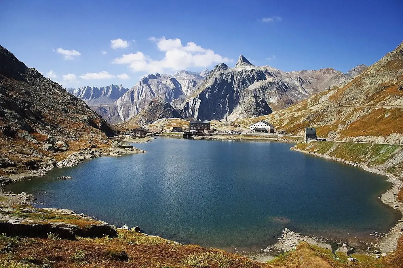
파르마의 산토 호수는 에밀리아-로마냐에서 가장 넓은 빙하 호수이며 북부 아펜니노 산맥 전체에서 가장 큰 자연 수역입니다. 해발 1,507미터에 위치한 코르니글리오 코무네에 있으며, 면적은 81,000제곱미터가 넘고 최대 깊이는 22.5미터에 달합니다. 토스카나-에밀리아 아펜니노 국립공원(센토 라기 공원으로도 알려짐) 내에 있으며 마르마냐 산의 절벽이 내려다보입니다.
1
0

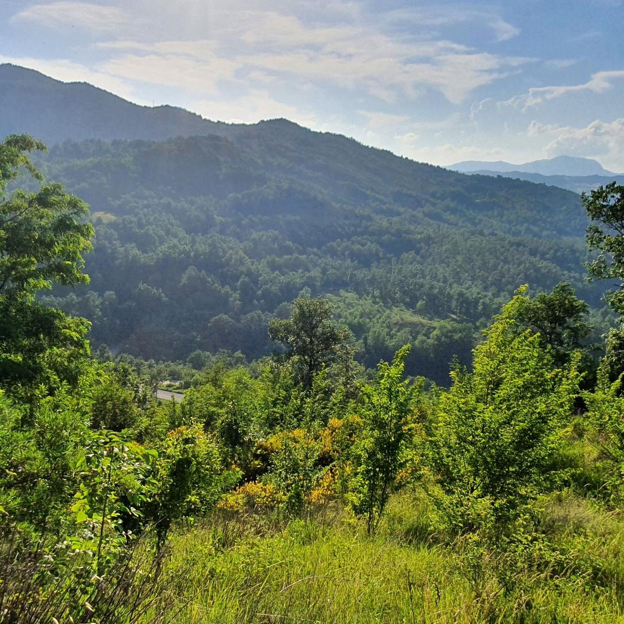
이 지역에서 가장 경치 좋은 봉우리 중 하나임에 틀림없습니다. 360도 전망과 도보 또는 MTB로 쉽게 접근 가능
0
0
A refuge on Lago Santo Parmense. Located in a magnificent setting, it's a delightful place to stop. It's managed; all the information is on the website. It can be reached on foot or by chairlift from Lagdei.
2
0
There's not much to say here. Lago Santo is on the list of top places in our Apennines. A quick web search and a few photos are all it takes to understand what it's all about.
3
0

Magical environment in every season
3
0

On its banks is the "Giovanni Mariotti" refuge. Built by the local CAI section with the aim of providing shelter and accommodation for hikers, it was inaugurated on 12 September 1882. On 11 August 1935 it was dedicated to Giovanni Mariotti, mayor of the city of Parma, senator of the Kingdom and president of the CAI section of Parma from 1893 to 1935. The refuge has a kitchen service and 42 beds.
2
0
Lago Santo parmense, with its 81,550 m2 of surface, is the largest glacial lake in the province of Parma and Emilia-Romagna, and also the largest natural lake in the entire northern Apennines. It has a maximum depth of about 22.5 meters.
7
0
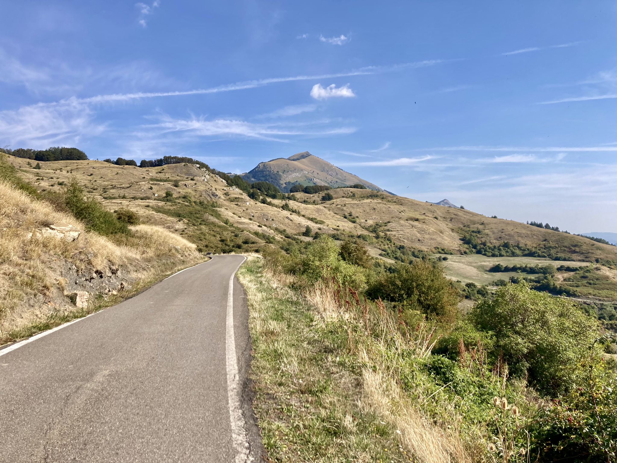
Mount Caio is a peak of the Parma Apennines geographically located between the municipalities of Palanzano, Tizzano Val Parma and Corniglio and culminating with the Bocchialini peak at an altitude of 1,584 meters; the peak is located in the municipality of Palanzano. It is the mountain with a height higher than 1,500 meters closest to the provincial capital Parma (38 km). On its slopes, at an altitude of 1,250 m in the territory of the Municipality of Tizzano Val Parma, there is the Schia ski resort, equipped with three ski lifts, including a new (2008) two-seater chairlift, which serve about 15 km of slopes. Mount Caio is rich in woods, pastures and fountains, including the one that flows under the hermitage of San Matteo and collects in a tree trunk. At an altitude of 1,450 m there is a small lake fed by an underground spring.
2
0
베르세토 주변에서 가장 인기 있는 명소


더 살펴보기
베르세토 주변의 최고의 동굴을 찾기 위해 이 가이드를 확인해보세요:
