경로

플래너

기능

업데이트

App

로그인 또는 가입

앱 다운로드

로그인 또는 가입

경로
Places to see
Mountain passes
이탈리아
프리울리 베네치아 줄리아
포르데논

몬테레알레 발첼리나

몬테레알레 발첼리나‬에서 가장 멋진 ‪6‬개의 산길

몬테레알레 발첼리나에서 가장 멋진 산길을 아래에서 살펴보세요. 풍경을 감상하기에도 좋고, 오르막길/내리막길을 따라 걷기에도 좋은 곳이랍니다. 커뮤니티가 특별 도움을 통해 공유한 콘텐츠인 만큼 믿을 수 있는 정보이니 마음에 드는 산길이 있다면 바로 다음 모험 계획에 추가해서 바로 방문해보세요.

마지막 업데이트: 7월 25, 2026

팔라 바르자나

하이라이트 • 산악 고개

Up up up the serpentines to this spot. It's not very spectacular, but the views when going up or down on either side are great.

에 의해

라이딩 보기

휴대폰으로 전송

저장

포르첼라 클라우타나

하이라이트 • 산악 고개

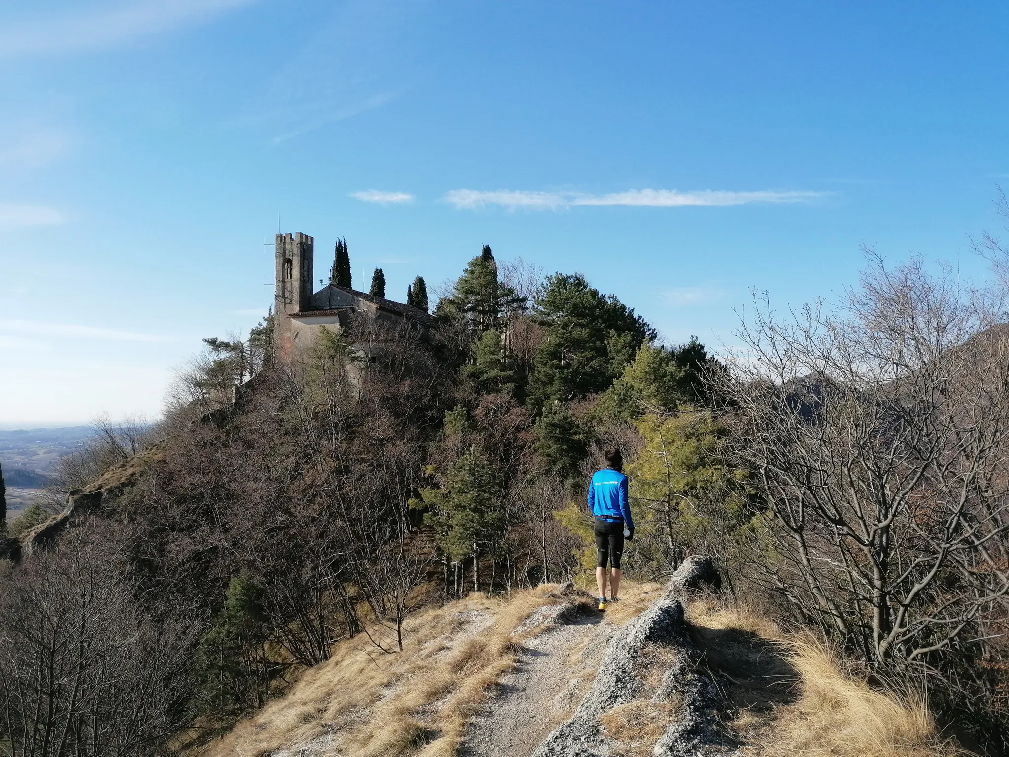
Descent not overly technical but dangerously exposed, it must be traveled with due caution, it should be avoided if you suffer from vertigo. Along the way it is likely to meet some pedestrians who should be given priority ...

번역자 Google •

에 의해

저장

이런 장소를 발견하려면 지금 가입하세요

최고의 싱글 트랙, 봉우리 및 다양한 흥미로운 야외 장소에 대한 추천을 받아보세요.

무료 회원 가입

Forcella Crous

하이라이트 • 산악 고개

For centuries, this pass was the only crossing point for people and herds, who used carts and sleds to barter and sell products from the Cellina Valley to those from …

번역자 Google •

에 의해

저장

Forcella Val Grande

하이라이트 • 산악 고개

The Val Grande fork is located at 1,926 meters above sea level and separates the Val Grande peak from Mount Lastè in the Cavallo di Pordenone group.

From here you …

번역자 Google •

에 의해

저장

사우크 고개

하이라이트 • 산악 고개

A saddle that well represents the Piancavallo basin, immersed in the greenery of a respectable forest; on one side the hut on the other the town

번역자 Google •

에 의해

저장

무료로 가입하여 몬테레알레 발첼리나 주변의 더 많은 산악 고개를 발견하세요.

무료 회원 가입

이미 komoot 계정이 있나요?

오늘 무료 계정으로 시작하세요

다음 모험이 기다리고 있어요.
로그인 또는 가입하기

몬테레알레 발첼리나 주변 인기 장소

제모나에서 파두아까지 800년의 역사 - 산탄토니오 길

몬테레알레 발첼리나 하이킹

몬테레알레 발첼리나 로드 사이클링 경로

몬테레알레 발첼리나 MTB 트레일

몬테레알레 발첼리나 사이클링

몬테레알레 발첼리나 러닝 트레일

몬테레알레 발첼리나 주변 그래블 라이딩

몬테레알레 발첼리나 등산

몬테레알레 발첼리나 주변의 다른 모험

제모나에서 파두아까지 800년의 역사 - 산탄토니오 길

하이킹 컬렉션 에 의해

Bryan | Exploro Ergo Sum

커뮤니티 팁

igor
7월 7, 2026, Pala Barzana

길은 "기술적으로" 폐쇄되었지만 자전거로는 통과할 수 있습니다

번역: Google

0

0

Forcella di Pala Barzana (840m)는 Val Colvera (Frisanco, Poffabbro)와 Val Cellina (Andreis)를 연결하는 지방 도로 63을 따라 위치한 카르니카 예알프의 잘 알려진 고개입니다. 양쪽에서 자전거로 오르는 기준점이자 Monte Raut, Jouf 또는 Fara로 가는 하이킹의 출발점입니다. 주차를 위한 넓은 공간, 피크닉용 대형 목조 캐노피, 전사한 알피니를 기리는 기념비를 제외하고는 어떤 종류의 시설도 없습니다.

번역: Google

0

0

Harald
7월 13, 2025, Pala Barzana

Once you reach the saddle, this monument reminds you of times gone by, makes you pause and points to the good times in which we are allowed to live.

번역: Google

0

0

Since I am an Alpine (128 AUC), I always stop to read the names of those who fell in war and silently send my thoughts of respect and brotherhood.

번역: Google

1

0

Stone of the eighth Alpine regiment with ode of glory and incitement to victory. Placed in 1917.

번역: Google

0

0

Forcella Clautana 1430m., secondary pass between the Silisia valley and the Clautana valley.

번역: Google

0

0

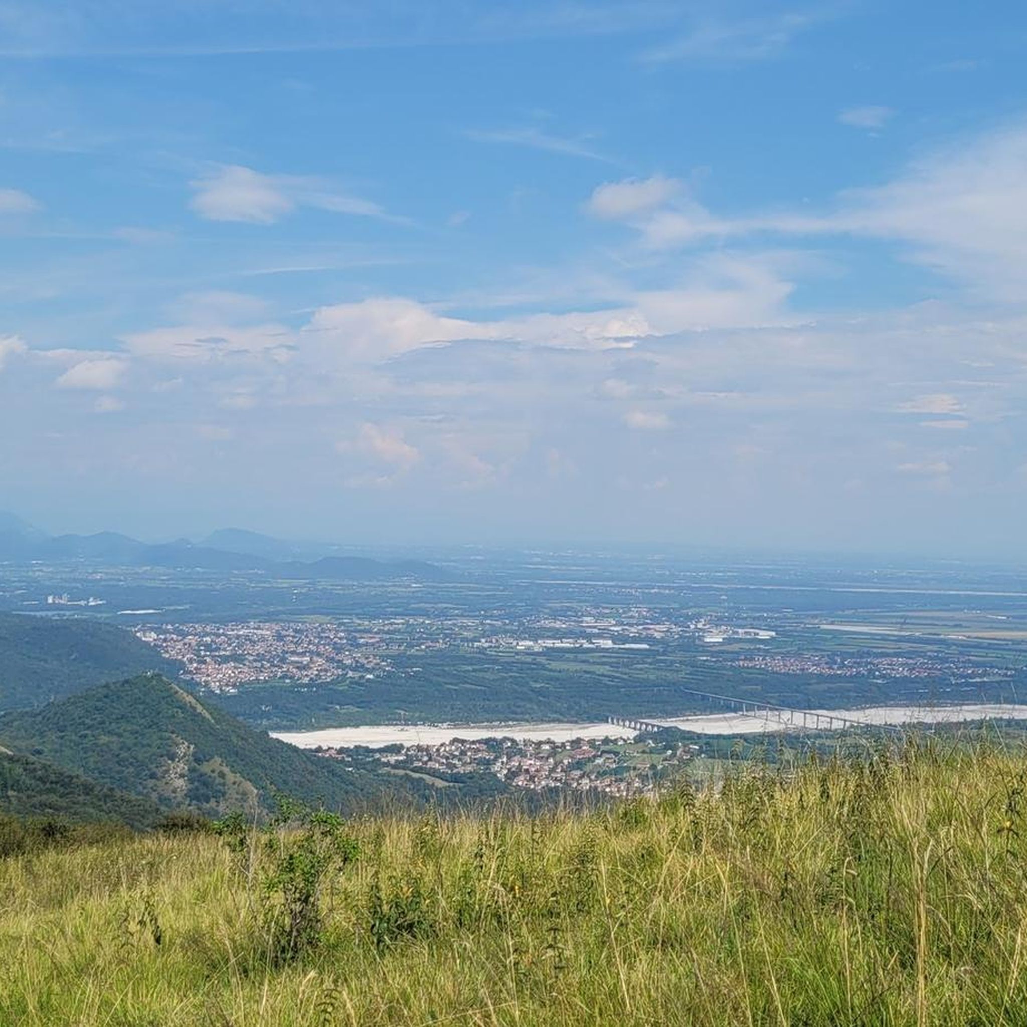
The Sauc saddle divides Mount Sauc from Col Cornier and opens up the panorama over the plain and Piancavallo.

번역: Google

0

0

The descent to the west towards Lago di Barcis was closed in July 2024 because the road had slipped in some places. Construction work was underway, but cycling was possible without major problems. There were also many cyclists travelling in both directions.

번역: Google

0

0

몬테레알레 발첼리나 주변에서 가장 인기 있는 경로

몬테레알레 발첼리나 하이킹

몬테레알레 발첼리나 주변에서 가장 인기 있는 명소

Places to see

Store rating

komoot 모바일 앱으로 영감을 받아보세요

무료 komoot 계정로 끝없는 야외 모험을 손쉽게 찾고, 맞춤 설정하며 길안내할 수 있어요.

또는

지금 komoot에 가입하세요

Store rating

더 살펴보기

이 가이드를 통해 더 많은 장대한 산악 통과를 확인해보세요 몬테레알레 발첼리나 주변:

트라몬티 디 소프라클로우트시몰레돌로미티 프리울란 국립공원Parco Naturale Regionale delle Dolomiti Friulane트라몬티 디 소토바르시스폴체니고아비아노부도이아비토 다시오에르토 E 카소프리산코카네바클로제토안드레이스마니아고메두노폰타나프레다카스텔노보 델 프리울리카바소 누오보트라베시오사실리

근처 어드벤처 가이드

포르데논 즐길거리

background

새로운 정복을 위한 준비를 하세요

무료로 가입하기

탐험하기
경로경로 플래너기능하이킹MTB 트레일로드 사이클링 경로바이크패킹사이트맵
앱 다운로드
소셜 미디어에서 팔로우하기

© komoot GmbH

개인 정보 보호 정책