산 비아지오 디 칼라타에서 가장 멋진 9개의 천연기념물
천연기념물을 방문하여 산 비아지오 디 칼라타의 아름다운 풍경을 만나보세요. 산 비아지오 디 칼라타에 있는 9
개의 천연기념물과 상세 정보를 살펴본 후에 방문하고 싶은 천연기념물을 다음 모험 계획에 추가해보세요!
마지막 업데이트: 9월 4, 2026
부르치 선박 묘지
하이라이트 • 역사적 장소
번역자 Google •
팁에 의해


이런 장소를 발견하려면 지금 가입하세요
최고의 싱글 트랙, 봉우리 및 다양한 흥미로운 야외 장소에 대한 추천을 받아보세요.
노벤타 디 피아베의 옛 강 항구
하이라이트 • 역사적 장소
The origin of the river port …
번역자 Google •
팁에 의해

메올로 강의 발원지
하이라이트 • 강
번역자 Google •
팁에 의해
웅장한 검은 포플러
하이라이트 • 자연 기념물
번역자 Google •
팁에 의해

무료로 가입하여 산 비아지오 디 칼라타 주변의 더 많은 자연 기념물을 발견하세요.
이미 komoot 계정이 있나요?
오늘 무료 계정으로 시작하세요
다음 모험이 기다리고 있어요.


산 비아지오 디 칼라타 주변의 다른 모험

커뮤니티 팁


A former port site, lovingly transformed into a park, with historical images. A must-see, and not just for historians.
2
0
Visited today: it looks bald, but we'll wait for the warm season to judge it. In the meantime, take a look at the branches that they cut
0
0

The Botteniga is a resurgence river in the Veneto-Friuli plain. It rises a few kilometers north of the city of Treviso (San Pelaio); shortly after it receives the waters of the La Cerca canal, the Pegorile and the Piavesella di Nervesa and then divides into several branches at the gates of the walls of Treviso, near the Ponte de Pria: • The Cagnan Grande or della Pescheria; • The Cagnan Medio or canale dei Buranelli (0.743 km); • The Cagnan della Roggia or Siletto (1.117 km); • The Convertite or Santa Sofia canal (0.882 km, mostly buried); • the canal that laps the outside of the walls on the eastern side (the western one has been buried). This system is actually part of a notable work of hydraulic engineering designed in the sixteenth century by Giovanni Giocondo for the defense of the walls. All the branches finally flow into the hydrographic left of the Sile river. The waters of the Botteniga also feed the spring from which the Cantarane canal flows (0.447 km, now mostly filled in).
0
0
The old name of the Meolo river is Pero. This is why, in these parts, river and place names blend together
0
0

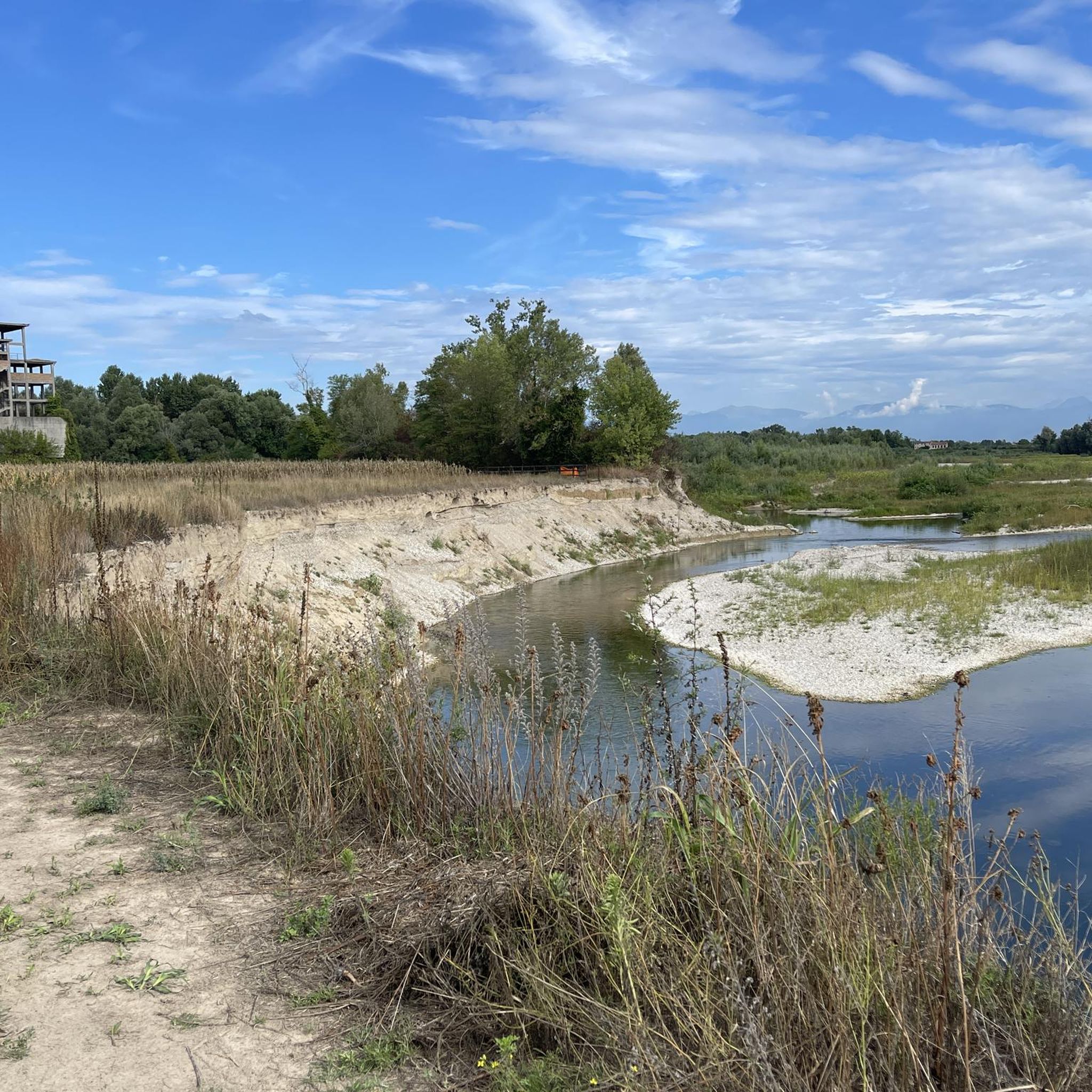
The sources of the Meolo river are about 200 m away. from the bridge, unfortunately it was not possible to approach them because they were fenced off. It originates east of Breda di Piave, in the Campagne area, and flows for about twenty kilometers in the provinces of Treviso and Venice, crossing, among others, San Biagio di Callalta and Monastery of Treviso. At the town of the same name, the river bifurcates: the new main axis, maintaining the name of the Meolo river, heads south and flows shortly afterwards into the Vallio; the historic course, called the Meolo flowway, moves towards the south-east and its waters flow partly into the Colatore Principale reclamation canal and partly, by means of a structure that bypasses the previous watercourse, into the Fossetta canal. This situation is the result of the reclamation that affected the Lower Piave and was completed in the 1930s. Along its course there are country residences built by Venetian families between the 15th and the 19th centuries as well as the former Abbey of Santa Maria di Pero
11
0
산 비아지오 디 칼라타 주변에서 가장 인기 있는 명소


더 살펴보기
산 비아지오 디 칼라타 주변의 최고의 동굴을 찾기 위해 이 가이드를 확인해보세요:
