경로

플래너

기능

업데이트

App

로그인 또는 가입

앱 다운로드

로그인 또는 가입

로그인 또는 가입

경로
Places to see
Natural Monuments
이탈리아
피에몬테
토리노

스트람비넬로

스트람비넬로‬에서 가장 멋진 ‪20‬개의 천연기념물


천연기념물을 방문하여 스트람비넬로의 아름다운 풍경을 만나보세요. 스트람비넬로에 있는 20
개의 천연기념물과 상세 정보를 살펴본 후에 방문하고 싶은 천연기념물을 다음 모험 계획에 추가해보세요!

마지막 업데이트: 5월 16, 2026

Pian delle Nere

하이라이트 • 전망대

A plateau overlooking Mount Calvo, from here the hiking trails lead to the refuges and peaks. It's worth the extra effort to stop at the Pic Nic area before enjoying …

번역자 Google •

에 의해

라이딩 보기

휴대폰으로 전송

저장

Punta Quinseina Sud 정상 십자가

하이라이트 • 정상

To reach this peak, also defined as Punta Quinseina di Santa Elisabetta, there is a nice path that is not difficult but at times quite steep, sometimes even on stony …

번역자 Google •

에 의해

저장

이런 장소를 발견하려면 지금 가입하세요

최고의 싱글 트랙, 봉우리 및 다양한 흥미로운 야외 장소에 대한 추천을 받아보세요.

무료 회원 가입

비알프레의 빙하 표석

하이라이트 • 자연 기념물

Not far from Vialfrè, a small village near Ivrea, in the Canavese area, is the path of erratic boulders. These huge prehistoric boulders, often found in unusual places, were transported by the glacier that dominated this area until it melted.

번역자 Google •

에 의해

저장

몬티 펠라티 산악자전거 트레일

하이라이트 (구간) • MTB 공원

S1 level trail but at times the slope makes it more complex, it requires good driving qualities. The Pelati Mountains are a natural reserve, maximum respect is obligatory and you …

번역자 Google •

에 의해

저장

라고 파올레트

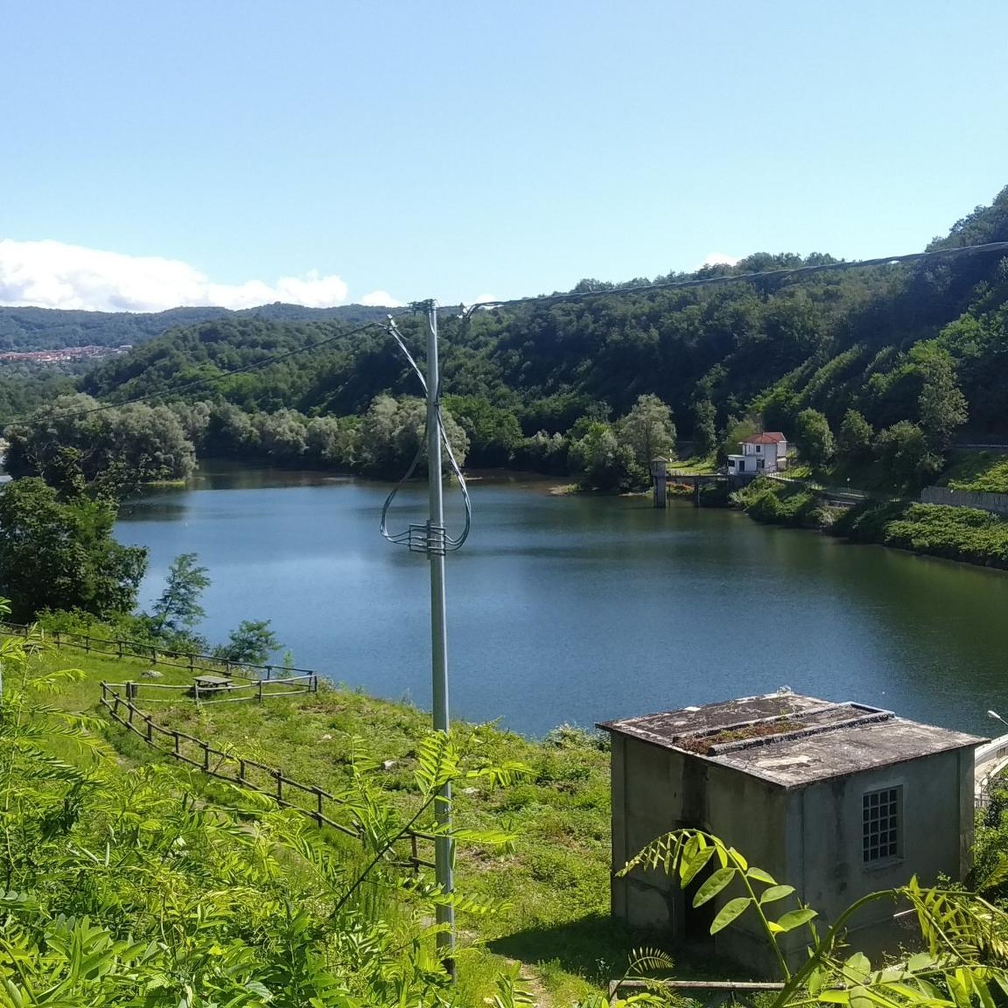
하이라이트 • 호수

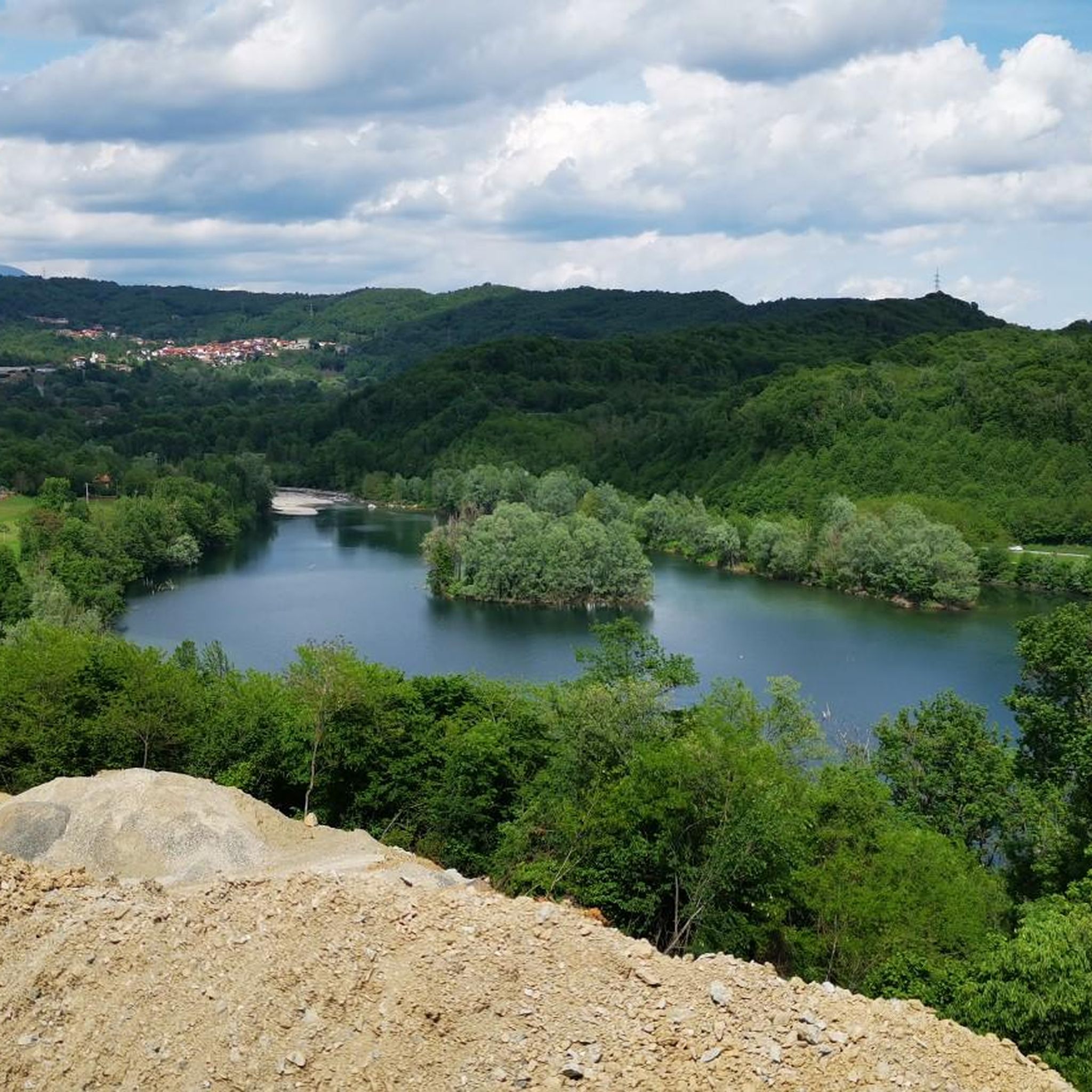
Small intra-moraine lake, fed by rainwater in the small basin created by the Balteo Glacier in this moraine, which dates back more than one hundred thousand years.
The name “paolet” …

번역자 Google •

에 의해

저장

무료로 가입하여 스트람비넬로 주변의 더 많은 자연 기념물을 발견하세요.

무료 회원 가입

이미 komoot 계정이 있나요?

오늘 무료 계정으로 시작하세요

다음 모험이 기다리고 있어요.
로그인 또는 가입하기

스트람비넬로 주변 인기 장소

스트람비넬로 하이킹

스트람비넬로 MTB 트레일

스트람비넬로 사이클링

스트람비넬로 러닝 트레일

스트람비넬로 로드 사이클링 경로

스트람비넬로 주변 그래블 라이딩

커뮤니티 팁

Riccardo 🍄
9월 21, 2025, Pian delle Nere

Accessible by car via a somewhat narrow but recently restored paved road, it is in excellent condition. Ample parking is available. It has a barbecue and picnic area. It's also an excellent starting point for reaching the surrounding peaks.

번역: Google

1

0

After crossing Vialfrè along via Roma and via Borghetto, after a trail that runs alongside a fence you find yourself... in a meadow! Luckily, a providential sign guides you, to the left, to the start of the erratic boulders trail, other signs, to follow, show the right path first along an asphalt road, finally, with another left turn at a hairpin bend, back on the right path. Here begins a nice flowing stretch, never difficult (S2 max), but not at all trivial, because the ground, almost always pebbly, requires constant attention when driving. The trail is not critical, in the sense that, even "skipping" some deviations, you still find yourself on other paths almost parallel to the one I took. In the end, all the paths converge almost in the same point... in front of the highway to Aosta: following the trail, other nice paths lead to Villate.

번역: Google

0

0

Easily accessible on a paved road (unfortunately). Breathtaking view of the plain. In May, the spectacle of the daffodils blooming is unmissable.

번역: Google

1

0

Small intra-moraine lake, fed by rainwater in the small basin created by the Balteo Glacier in this moraine, which dates back more than one hundred thousand years. The name “paolet” in the local dialect means “small swamp” because over time this lake has partially filled with organic material created by the decomposition of aquatic vegetation. At the moment the water remains only in a ring outside the lake while in the center an islet has already formed: if there is no human intervention, the lake will gradually fill up completely. This is a site of great naturalistic importance for the many species that inhabit it, including the Pelobates fosco insubrico, a small toad at risk of extinction and for this reason the subject of a European protection project.

번역: Google

0

0

Here, during the Ice Age, the Balteo Glacier transported enormous boulders to its surface, which were then released when rising temperatures melted the ice.

번역: Google

0

0

Pian delle Nere is a large flat space on the slopes of Mount Verzel from which you can enjoy a beautiful view of the Canavese and Serra. The area is equipped with picnic tables. In the first days of May the meadows around the area are colored white thanks to the flowering of daffodils. The equipped area can be reached from Castelnuovo Nigra, continuing towards Palasot and then following the signs for the "le Nere" equipped area, passing in front of the church of the Madonna dell Visitazione. From here we continue for a couple of kilometers on a narrow road with several single-lane points up to a saddle that is still a little wild but with very suggestive views. From here the road becomes a dirt road and then becomes a path and climbs towards the Fornetto refuge (2130 m) and the Verzel peak (2406 m). In this period the traditional Narcissus Festival is held in Castelnuovo Nigra which includes two days of celebration in the town. Singing groups will parade through the streets of the town, where they will find stalls selling artisanal, food and non-food products, a photographic exhibition, a drawing competition and food stands. And then welcome, flowers, tastings for everyone... https://turismo.unionevallesacra.to.it/pian-delle-nere/

번역: Google

0

0

To reach the 2,231 meters of altitude of Punta Quinseina Sud, also known as Punta Quinseina di Santa Elisabetta, you follow a beautiful path which, although not particularly difficult, has quite steep sections, sometimes on stony ground, and starts from Pian del Lupo. If the mists allow it, the panorama from this point is extraordinary, ranging from the Canavese plain to the Alps. However, even more fascinating is the somewhat exposed path along the ridge that leads to the northern tip. Running along the ridge is an amazing experience!

번역: Google

1

0

Truly unique environment. Challenging surface: hollow and narrow sections, slightly treacherous gravel, many relaunches. A trail that always keeps the commitment high.

번역: Google

1

0

스트람비넬로 주변에서 가장 인기 있는 경로

스트람비넬로 하이킹

스트람비넬로 주변에서 가장 인기 있는 명소

Places to see

Store rating

komoot 모바일 앱으로 영감을 받아보세요

무료 komoot 계정로 끝없는 야외 모험을 손쉽게 찾고, 맞춤 설정하며 길안내할 수 있어요.

또는

지금 komoot에 가입하세요

Store rating

더 살펴보기

스트람비넬로 주변의 최고의 동굴을 찾기 위해 이 가이드를 확인해보세요:

발프라토 소아나론코 카나베제로카나바비오 펠리스빌라르 펠리스세레솔 레알비코 카나베제세사나 토리네세소즈 디 세사나세스트리에르리보르도네지아베노아빌리아나노아스카발 델라 토레트라나프라젤라토콘도브살베르트랑부티글리에라 알타바르도네키아빌라르바스레아노산탐브로조 디 토리노울크스발조이망명자코즈로스타바이에치우사 디 산 미켈레카프리세티모 비토네케이스렛키오몬테빌라르 도라알메스마셀로트라우셀라페코뮤리아노루에글리오이브레아유소루냐코앨리스 슈페리어리볼리피오라노 카나베제트라베르셀라안드라테레솔로쿠미아나산탄토니노 디 수사그로스카발로소즈 돌스루비아나로마노 카나베제산가노브루이노페네스트렐로랑제피오사스코브로소콜레레토 자코사비우리발타 디 토리노알피냐노팔라조 카나베제아젤리오프라시네토사모네반체트살레라노 카나베제알비아노 디브레아볼렌고파본 카나베제무덤페로사 카나베제부롤로지아글리오네피베로네퐁 카나베제타바냐스코베스티네쿠오르네퀸시네토카라비노신타노카스텔누오보 니그라파렐라카스텔라몬테콜레레토 카스텔누오보미나 디 수사프랄리수사노말리오루르페레로매티스트람비노Cascinette D'Ivrea키아베라노몬탈토 도라비스트로리오콰솔로보르고프랑코 디브레아몸판테로금성카레마우세글리오발페르가부솔레노Laghi Di Ivrea스카마그노보르지알로키에사누오바레미빌라르 포키아르도바리셀라콰글리우초코리오토레 펠리스브루졸로앙그로냐알라 디 스투라프로사스코산 폰소보르고네 디 수사산 콜롬바노 벨몬테잉그리아프라스코사노산 길리오이실리오카니스키오스파로네발랑게로발디세로 카나베제클라비에르라 카사코아솔로 토리네세칸탈루파지볼레토산 조리오 디 수사중이층키알베르토페로사 아르헨티나치아노코산디데로페르투시오살라사비드라코오르바사노노발레사피나스카포르노 카나베제발메알페트로카 카나베제살자 디 피네롤로그루글리아스코로라케레스칸토이라루세나 산 조반니피아네차게르마냐노피아노자연 공원 오르시에라 - Rocciavre'Parco Naturale Orsiera-Rocciavrè란조 토리네세세티모 로타로볼베라콜레뇨토레 카나베제바이로프라몰로카스틸리오네 토리네세산 마우로 토리네세알리에세티모 토리네세발디세로 토리네세모나스테로 디 란조파바로로카파스발로 토리네세루세네타비비아나드루엔토마티리바라포마레또프라틸리오네산 마르티노 카나베제올리아니코키에리트래버스보르고마시노베나리아 레알피네롤로몬칼리에리바바니아피노 토리네세페세토 토리네제리바롤로 카나베제오제냐산 조르지오 카나베제가사노 토리네세쿠첼리오비알프레몬탈도 토리네세메르세나스코인베르소 피나스카몬세니시오브리케라시오캄비아노산 게르마노 치소네피시나말리오네빌라르 페로사포르테보가로 토리네세산 피에트로 발 레미나베이나스코프라로스티노페시네토코사노 카나베제산 세컨도 디 피네롤로롤레토치코니오파브리아카보우르루실리에몬탈렝게Val Troncea니첼리노비쉐레본파르코 내츄럴 델 그란 보스코 디 살베르트랑로바소메로시바소

근처 어드벤처 가이드

콰글리우초 즐길거리

background

새로운 정복을 위한 준비를 하세요

무료로 가입하기

탐험하기
경로경로 플래너기능하이킹MTB 트레일로드 사이클링 경로바이크패킹사이트맵
앱 다운로드
소셜 미디어에서 팔로우하기

© komoot GmbH

개인 정보 보호 정책