벨로 베로네세에서 가장 멋진 20개의 천연기념물
천연기념물을 방문하여 벨로 베로네세의 아름다운 풍경을 만나보세요. 벨로 베로네세에 있는 20
개의 천연기념물과 상세 정보를 살펴본 후에 방문하고 싶은 천연기념물을 다음 모험 계획에 추가해보세요!
마지막 업데이트: 10월 14, 2026


이런 장소를 발견하려면 지금 가입하세요
최고의 싱글 트랙, 봉우리 및 다양한 흥미로운 야외 장소에 대한 추천을 받아보세요.


센티에로 데이 그란디 알베리
하이라이트 (구간) • 트레일
번역자 Google •
팁에 의해

무료로 가입하여 벨로 베로네세 주변의 더 많은 자연 기념물을 발견하세요.
이미 komoot 계정이 있나요?
오늘 무료 계정으로 시작하세요
다음 모험이 기다리고 있어요.


커뮤니티 팁

The Cascata dei Papalini suddenly appears in a small clearing in the heart of the forest, along the path: over time the falling water has formed a columnar deposit of gray limestone that descends like a drape and that partly acts as a springboard for the jet. But the peculiarity and spectacular nature of this waterfall is the possibility of seeing it even from behind the scenes: in fact, by climbing to the left on a short but steep path, you reach a natural roof of the rock from which you can observe the forest below through the curtain of water, without getting wet! The passage is not protected and is wet, so you need to pay particular attention. Like all torrential waterfalls, it is not always full and active: you need to look for the right period, perhaps after heavy rains, to visit it in all its thunderous splendor.
1
0

The "Vajo del Bruto" or Valle delle Buse di Sopra, more simply known as the Valle delle Sfingi, is located in the contrada del Brutto or malga Buse di Sotto in Camposilvano. It is a particular valley, about 800 meters long, which has large monoliths regularly spaced from each other and which recall the Egyptian sphinxes, from which it takes its name. These particular rocks are the result of the karst erosion of two different rock formations, the Rosso Ammonitico and the Oolite di San Vigilio. The Valle delle Sfingi is a magical place, full of stories and legends, such as the one linked to the particular mushroom-shaped rock, also known as "el sengio de l'orco". According to tradition, in fact, this mushroom was brought here by an ogre to allow the fade (magical creatures) to tie a rope end to it to hang out the laundry. Or like the "Fò della Pace", a large tree isolated from the others and so called because under its shade disputes were resolved and contracts were drawn up.
0
0


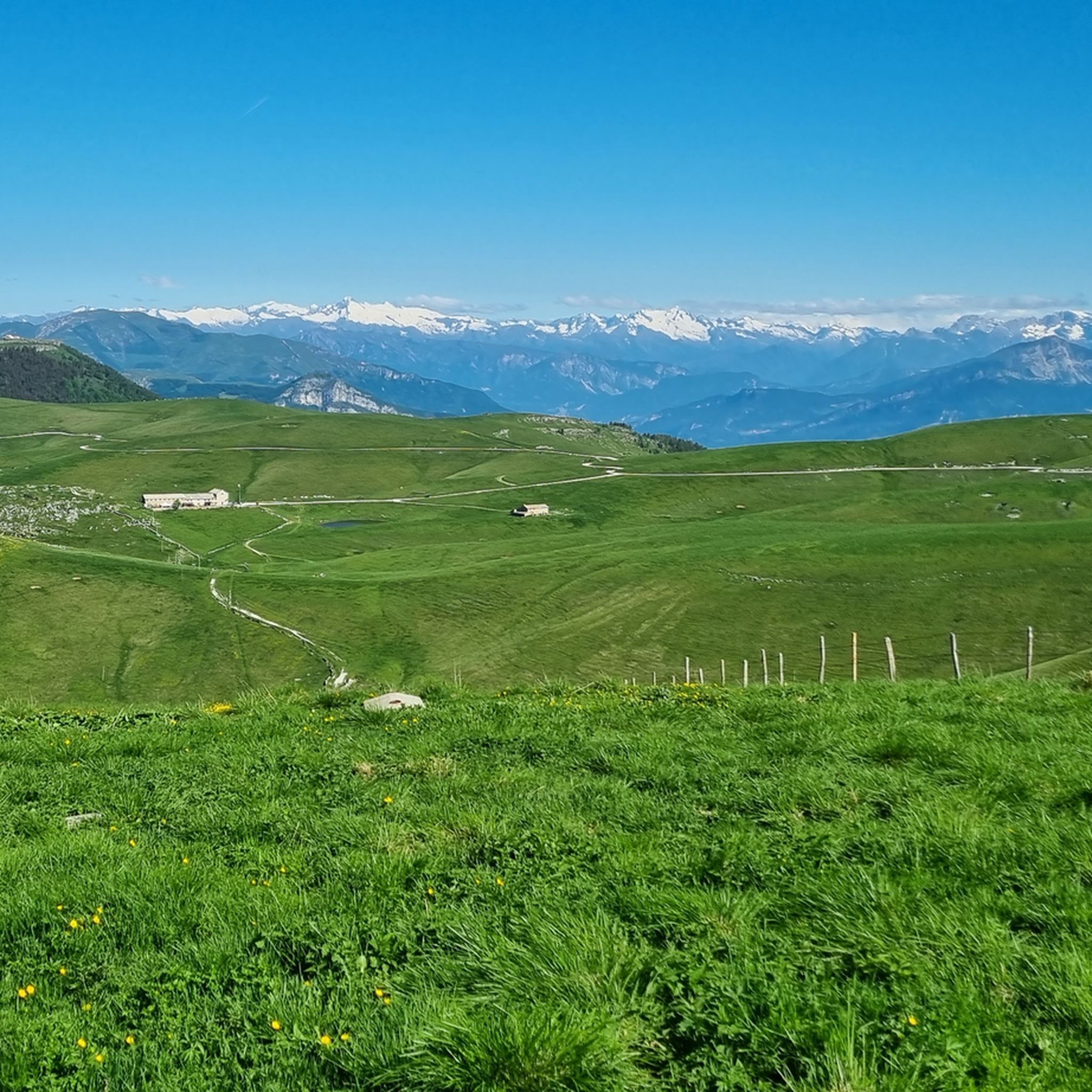
Lessinia, or Monti Lessini, is a plateau and an Alpine supergroup located mainly in the province of Verona and partially in the provinces of Vicenza and Trento. A part of the Lessini territory constitutes the Lessinia Regional Natural Park. It borders to the north with the Val di Ronchi and the Carega Group, to the east with the Val Leogra, to the south with the Adige and the upper Veronese plain and to the west with the Val Lagarina. Its peaks reach an altitude between 1500 and 1800 m above sea level. https://it.wikipedia.org/wiki/Lessinia
0
0

Beautiful waterfall, it looks like a face with one eye, a big nose and teeth😊
1
0

Very suggestive place due to the presence of these rock formations, typical of Lessinia (they are also seen in other parts but here they are concentrated in a particular way, with the formations that stand out from the ground giving the idea of the Sphinxes)
0
0

The Papalini waterfall is a small waterfall in the middle of the woods, it deserves to be seen
0
0
The Trail of the Big Trees winds through a breathtaking landscape: the quiet and gentle Montagnole Plateau at the foot of the rugged Tre Croci mountain range. It offers wide pastures, small mountain lakes and alpine pools, ancient mountain huts, views of the Piccole Dolomiti... and of course, as the name suggests, a plethora of majestic, ancient trees: beech, ash, lime, and many other species. Information panels describe the most impressive trees encountered and other points of interest related to ancient mountain life. The complete and official trail, which passes all the numbered panels, begins at the disused Chalet di Recoaro Mille and ends at the Rifugio Battisti. The first section, however, offers little, is expendable and forgotten. It can be significantly shortened, both in length and elevation gain, by choosing various starting points (the figures are approximate and refer to the total round trip): • from Recoaro Mille (full route), 22km 710m elevation gain; • from Pizzegora (large parking lot), 17km 580m elevation gain; • from the Malga Sebe curve (small parking lot), 14km 510m elevation gain; • from Trattoria La Gabiola or Casare Asnicar 12km 440m elevation gain. The latter is the shortest and most popular option, ideal for families: it's the segment indicated in the highlight. The route is not very well indicated: the map on the panel is very stylized, and a couple of forks in the road can confuse hikers. In particular, at Malga Morando, you can choose whether to continue on the forest road to the right or to ascend the path on the left that passes near the 'giàsara'. Further on, at Malga Rove Alta, you can choose the lower route to the right, easier and suitable for mountain bikes, which follows a wide dirt forest road with ups and downs and finally climbs onto a paved road. Alternatively, you can choose the higher route to the left, which immediately climbs to altitude and then continues flat at the foot of Mount Zevola, crossing a couple of gravel ruts caused by landslides. Ultimately, all roads lead to the Battisti Refuge: we recommend diversifying your outward and return routes to explore all the alternatives. This is a popular weekend hike throughout the year due to its easy accessibility, from spring blossoms to winter snowshoe hikes. It's especially a must for autumn foliage lovers, due to the variety and spectacular nature of the trees.
1
0
벨로 베로네세 주변에서 가장 인기 있는 명소


더 살펴보기
벨로 베로네세 주변의 최고의 동굴을 찾기 위해 이 가이드를 확인해보세요:
