운터바흐에서 가장 멋진 17개의 천연기념물
천연기념물을 방문하여 운터바흐의 아름다운 풍경을 만나보세요. 운터바흐에 있는 17
개의 천연기념물과 상세 정보를 살펴본 후에 방문하고 싶은 천연기념물을 다음 모험 계획에 추가해보세요!
마지막 업데이트: 10월 13, 2026
일그라벤 위의 부탄 다리
하이라이트 • 다리
번역자 Google •
팁에 의해

론강과 비스파의 합류점
하이라이트 • 강
번역자 Google •
팁에 의해

이런 장소를 발견하려면 지금 가입하세요
최고의 싱글 트랙, 봉우리 및 다양한 흥미로운 야외 장소에 대한 추천을 받아보세요.
Bodmeri-Niwa 수온 물레방아
하이라이트 • 구조물
번역자 Google •
팁에 의해

리벤 – 유럽에서 가장 높은 포도밭(비스퍼터미넨)
하이라이트 • 구조물
번역자 Google •
팁에 의해

스위스 알프스 융프라우-알레취 유네스코 세계유산
하이라이트 • 자연 기념물
The UNESCO World Heritage Swiss Alps Jungfrau-Aletsch is one of the most beautiful and valuable mountain landscapes in the world. The world heritage stretches from …
번역자 Google •
팁에 의해
무료로 가입하여 운터바흐 주변의 더 많은 자연 기념물을 발견하세요.
이미 komoot 계정이 있나요?


커뮤니티 팁

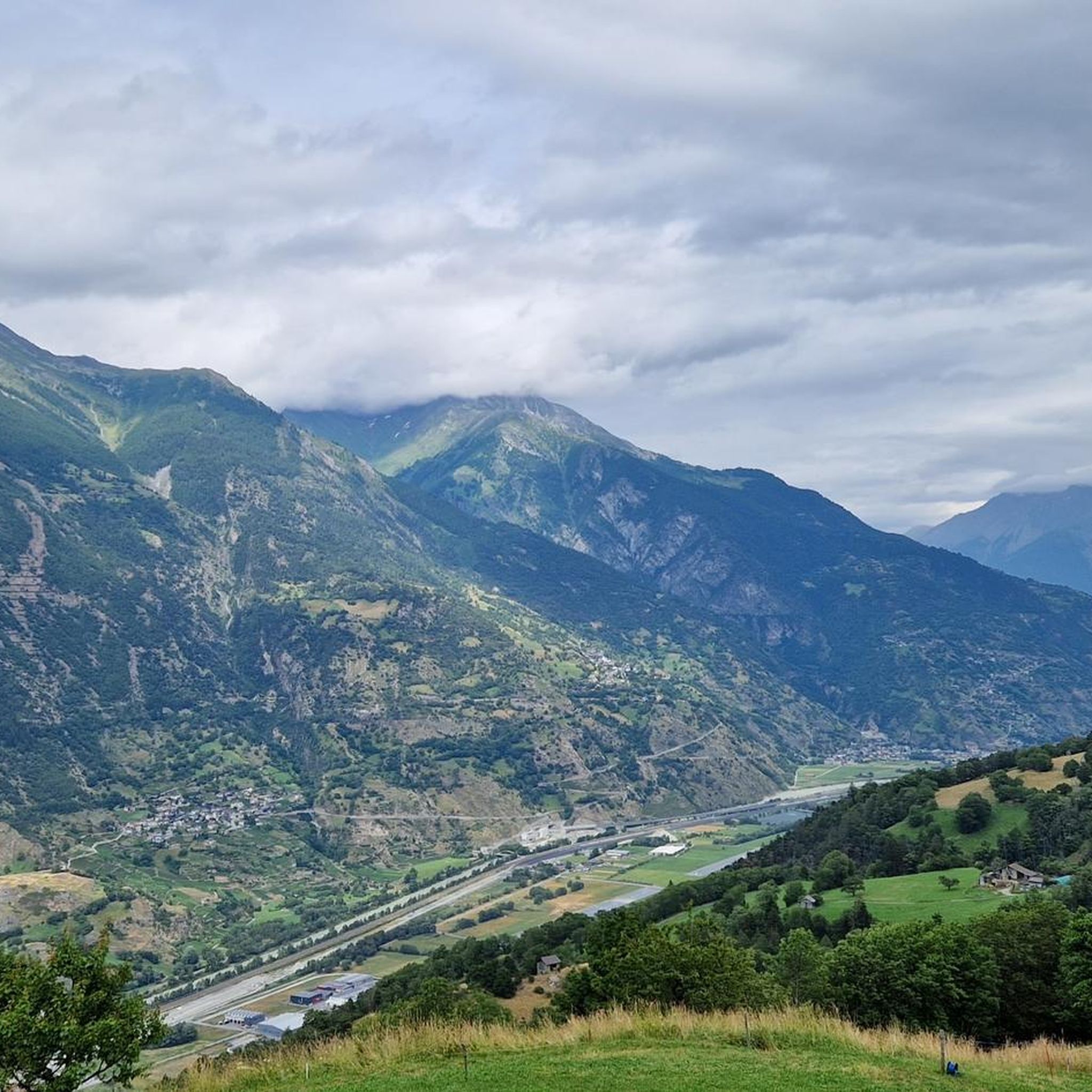
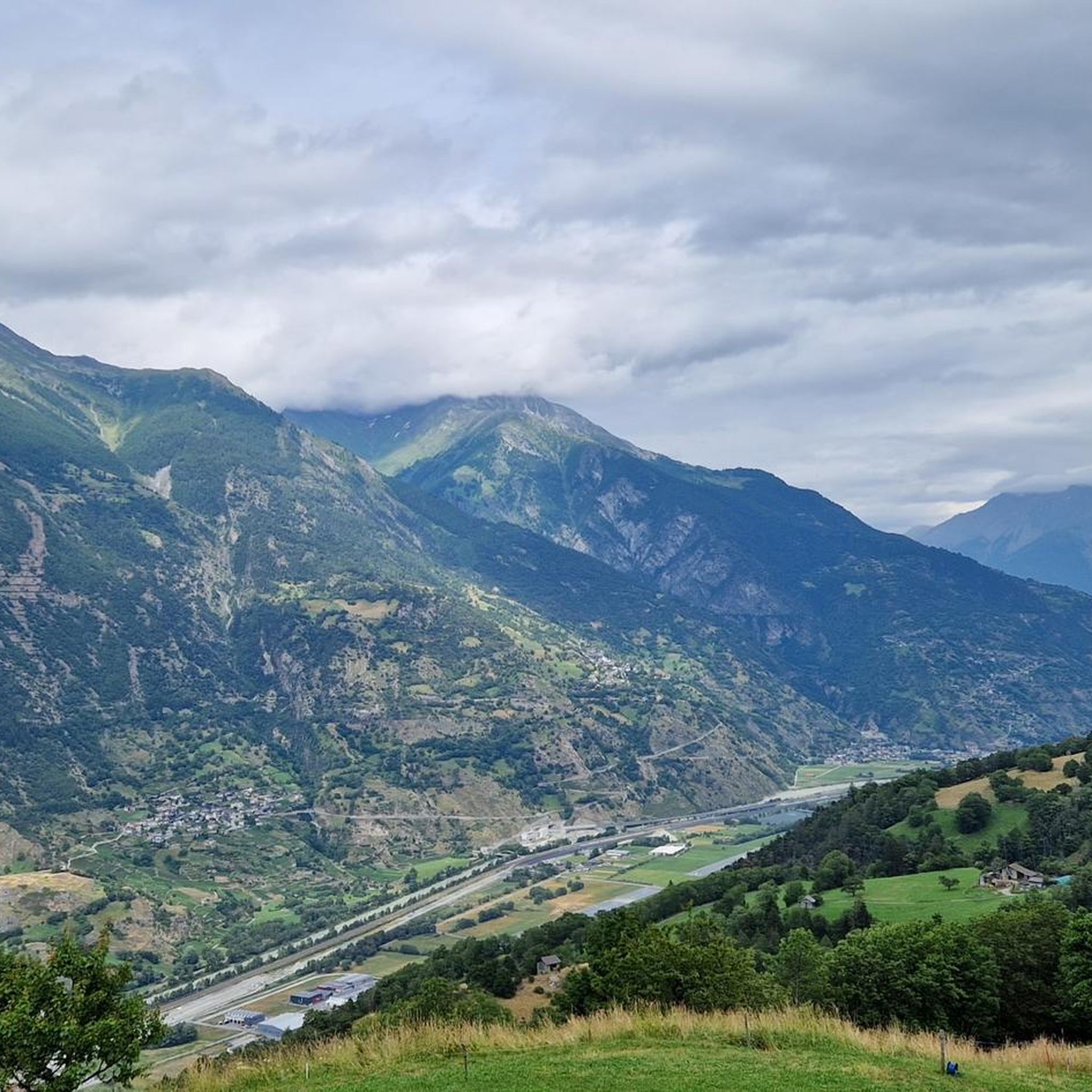
Visp 기차역 서쪽에서 Vispa 강은 Rhône 강으로 흘러 들어가는데, 이 강은 독일어권인 오버발리스에서 전통적으로 Rotten이라고 불립니다. 약 8.5킬로미터 길이의 Vispa 강은 스탈덴에서 Mattertal 계곡에서 오는 Mattervispa 강과 Saasertal 계곡에서 오는 Saaservispa 강의 합류로 형성됩니다. 두 지류 모두 체르마트와 사스페 주변의 빙하로 덮인 고산 지대의 우유 빛깔의 청록색 물을 운반합니다. Vispertal 계곡을 짧게 흐른 후 Vispa 강은 마침내 훨씬 더 넓은 Rotten 강과 합류합니다. 여기서부터 물은 발레 주와 제네바 호수를 거쳐 계속 흐르며, 이후 Rhône 강은 프랑스를 거쳐 지중해까지 흘러갑니다. 이 합류점은 아름다운 전망대이자, 체르마트 주변의 산악 세계를 하이킹한 후 발레 주에 다시 한번 작별 인사를 할 수 있는 적절한 장소입니다. 이곳에서는 발레 알프스의 물이 고산 지대를 훨씬 넘어 계곡과 풍경을 어떻게 형성하는지 인상적으로 볼 수 있습니다.
0
0

The bisses are the historic irrigation channels in the Valais mountains. Many are still in use and require a lot of maintenance.
1
1

This vineyard still offers manual vine cultivation, without the use of machinery on the steep mountain slope - magnificent.
0
0

Impressive renaturation project of the Rohne below the tributary of the Vispa
1
0

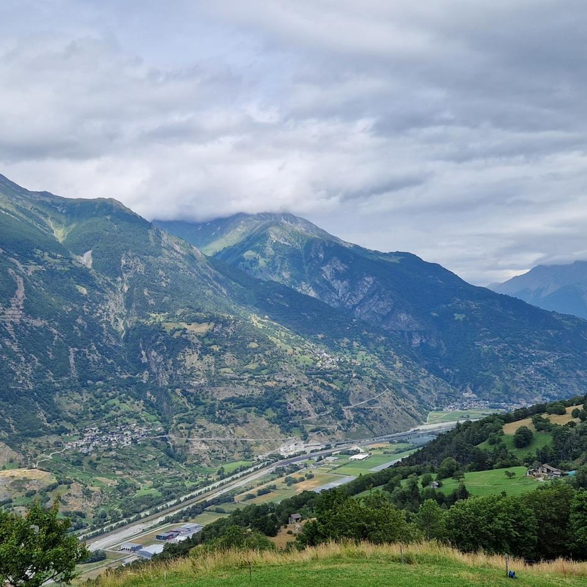
Great bridge with a beautiful view over the mostly dry Illgraben
4
0

EXPERIENCE WORLD UNESCO WORLD HERITAGE The UNESCO World Heritage Swiss Alps Jungfrau-Aletsch is one of the most beautiful and valuable mountain landscapes in the world. The world heritage stretches from the eternal ice in the high mountains to the Mediterranean steppe landscape in the south and documents current climate change. The imposing north faces of the Bernese High Alps embody impressive evidence of the alpine mountain formation. Text / source: Swiss Alps Jungfrau-Aletsch https://wnf.ch/
10
1
Suonen are the historical irrigation channels of the Valais. They consist of open ditches that bring the precious and fertile water from the mountain streams - sometimes in an adventurous way - to the dry pastures and fields, vineyards or orchards. Many of the Suonen are still in use today and are carefully maintained. Since the Suonen were very important as a water supply for the cultures and villages and their construction and maintenance was very dangerous, those who worked on them had an important function and a corresponding reputation in the village community. The Suonen sometimes overcome major obstacles such as rock faces or scree slopes, for which special techniques have been developed over the centuries. The Suonen run in the rock faces in wooden channels that are suspended from beams together with a walkway. The beams are wedged in holes that have been cut into the rock. Small water wheels that drive a hammer striking a piece of wood are sometimes used to monitor the flow of water. The hammer blows can be heard over great distances and confirm the flow of water. More irrigation channels have been created on the dry southern slopes than on the northern slopes. Most irrigation channels are 500 m to 2 km long, the longest being the 32 km long Bisse de Saxon. Text/Source: Brig Simplon Tourismus AG
10
0

Europe's highest vineyard Below the village of Visperterminen is Europe's highest, contiguous vineyard, at an altitude of between 650 and 1,150 meters. In short terraces with high dry stone walls, the vineyard, called "Rieben", overcomes 500 meters of altitude in a confined space. Hundreds of these retaining walls turn the steep slopes into small vineyards that are often no larger than two sheets. The southern exposure of the slope, in one of the driest areas of Switzerland, and the large stone surfaces of these dry stone walls make the "grapes" a warming chamber until late autumn, which - together with a few blows of the blow dryer - gives the grapes the necessary ripeness.
2
0


