운터샤헨에서 가장 멋진 20개의 산길
운터샤헨에서 가장 멋진 산길을 아래에서 살펴보세요. 풍경을 감상하기에도 좋고, 오르막길/내리막길을 따라 걷기에도 좋은 곳이랍니다. 커뮤니티가 특별 도움을 통해 공유한 콘텐츠인 만큼 믿을 수 있는 정보이니 마음에 드는 산길이 있다면 바로 다음 모험 계획에 추가해서 바로 방문해보세요.
마지막 업데이트: 8월 19, 2026

가이스그레틀리 고개 횡단
하이라이트 • 산악 고개
번역자 Google •
팁에 의해

이런 장소를 발견하려면 지금 가입하세요
최고의 싱글 트랙, 봉우리 및 다양한 흥미로운 야외 장소에 대한 추천을 받아보세요.
무료 회원 가입

Wannentritt
하이라이트 • 산악 고개
번역자 Google •
팁에 의해

프라겔 고개 가파른 구간
하이라이트 (구간) • 산악 고개
번역자 Google •
팁에 의해

무료로 가입하여 운터샤헨 주변의 더 많은 산악 고개를 발견하세요.
무료 회원 가입
이미 komoot 계정이 있나요?
오늘 무료 계정으로 시작하세요
다음 모험이 기다리고 있어요.
로그인 또는 가입하기

커뮤니티 팁

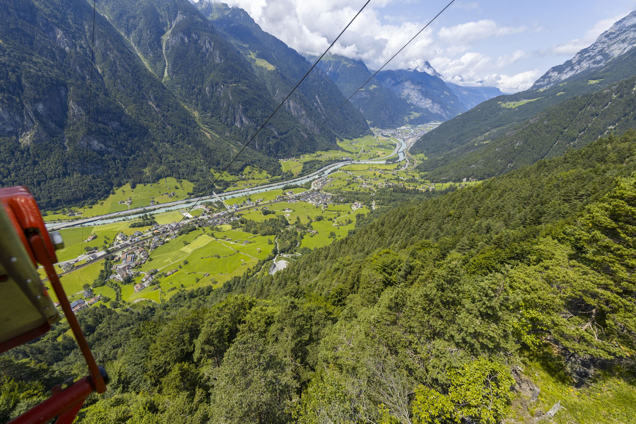
Great view, several benches to sit and enjoy. I would definitely climb through the forest myself instead of taking the gondola – it's so much more beautiful up there...and the path through the forest is really beautiful.
1
0

I don't know who recommended this but this is not possible for any vehicle. It is almost impossible to walk. My tip, stick to the indicated route.
0
0

Perfect to drive and an incredible panorama 🥇
0
0

You definitely have to push or carry it. Don't underestimate it on rainy days. But it's still "well" prepared. You can reach it from Stoos by e-bike in a 7.5km climb. The single trail up to there is a real challenge. There is a path underneath that you can use. Make sure you decide beforehand, it's almost impossible to turn around on the single trail. At the end you have to climb more to get to the pass. All in all, it's worth it!!!
0
0

The landscape is spectacular. It was a bit foggy though. So the next tour is already planned.
0
0

The short difficult part is now greatly improved: S3 Pushing an e-bike
1
0

Delightful experience coming from the west side. Almost half of the distance in the double-digit percentage range, between 18 and 22... terrific. A great round trip together with the Klausen Pass.
1
0

Fisetenpass 2023 m The Fisetenpass is a mountain pass in the municipality of Spiringen (Urnerboden exclave) in the canton of Uri. Its pass is at an altitude of 2036 meters above sea level between the Gemsfairenstock (2971m) in the southwest and the Fisetengrat or the Chamerstock (2123m) in the east. The easiest way to reach the pass is to take the mountain cable car from Urnerboden to the Fisetengrat mountain station and from there in a few minutes to the top of the pass. You hike over the pass from the Urnerboden to the Fiseten area and on to the Claridenhütte and Tierfehd. The specified hiking time from the Fisetenpass to the Claridenhütte is 2h40min, down to Linthal 4h55min and also down the valley to the Urnerboden 3h10min. In a four-hour mountain hike from the top of the pass you can also reach the Klausen Pass (Clariden high-altitude trail). Text / source: Fuorcla.ch https://fuorcla.ch/fisetenpass/
14
0
운터샤헨 주변에서 가장 인기 있는 명소


더 살펴보기
이 가이드를 통해 더 많은 장대한 산악 통과를 확인해보세요 운터샤헨 주변:
