20의 디엠티겐가지 명소 & 주요 장소
디엠티겐에는 둘러볼 만한 장소가 많답니다. 하이킹 또는 사이클링을 좋아한다면 디엠티겐에 숨겨진 20
가지 보석을 만날 수 있을 거예요. 이 지역의 주요 명소를 살펴보면서 다음 모험을 계획해보세요.
마지막 업데이트: 10월 23, 2026

이런 장소를 발견하려면 지금 가입하세요
최고의 싱글 트랙, 봉우리 및 다양한 흥미로운 야외 장소에 대한 추천을 받아보세요.
Stockhorn 정상 & 전망대
하이라이트 • 정상
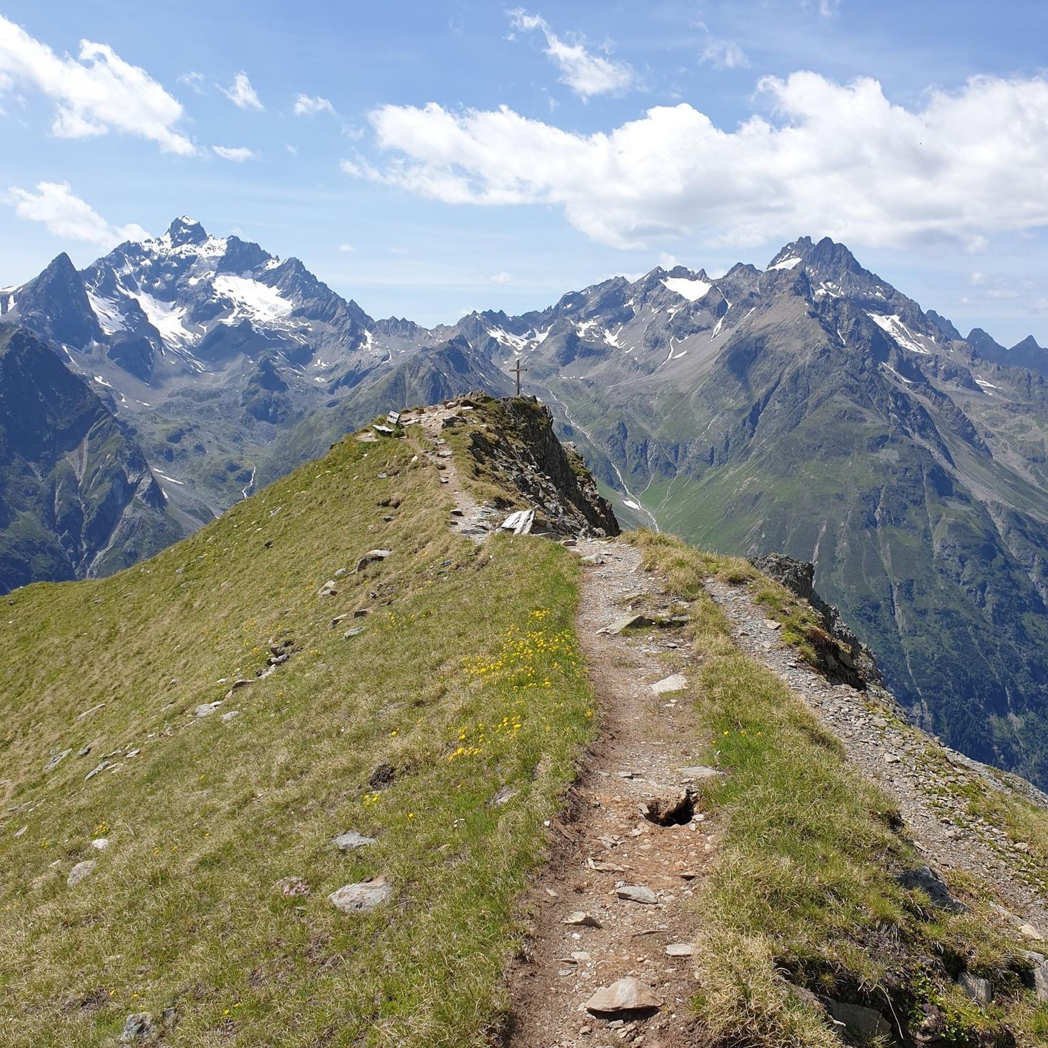
From here you have a magnificent view of the mountains and the lakes (Thun and Brienz)
번역자 Google •
팁에 의해


오늘 무료 계정으로 시작하세요
다음 모험이 기다리고 있어요.
디엠티겐 주변 인기 장소

디엠티겐 주변의 다른 모험


커뮤니티 팁

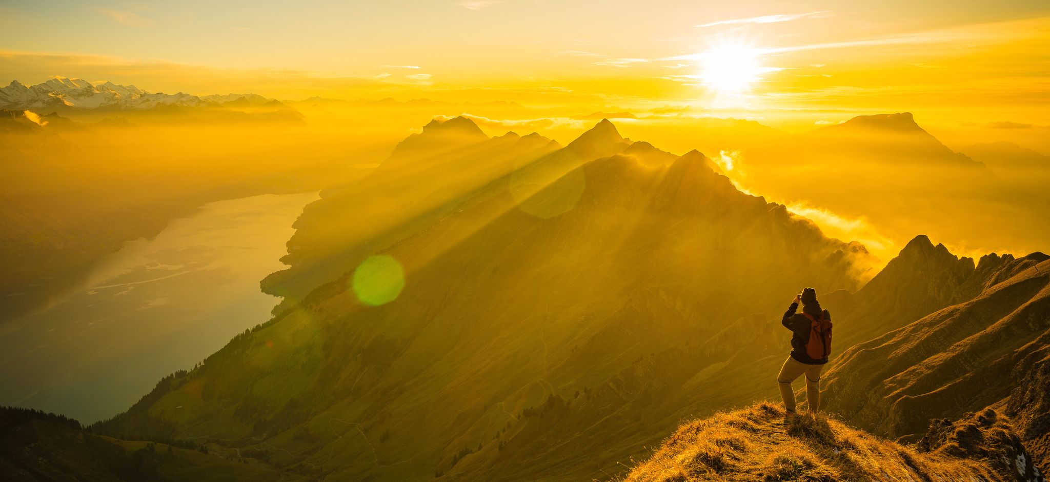
A short but steep tour with a magnificent finale: Sunset on the Gehrihorn – with views of the Kandertal, Niesen, Blüemlisalp & all the way to the Jura 🌞🏔️ 🥾 Tour information Starting point: Alp Ober Gereren (~1,610 m) – accessible by car via Kiental (good but steep mountain path, CHF 10.-) Ascent: approx. 360 m – Duration: 1–1.15 hours Trail: clearly visible, but steep & alpine (T2) – especially in the upper section (short exposed sections, surefootedness required) 🌅 Why the Sunset is worth it: Spectacular view of the entire Kandertal, the Bernese Alps, Lake Thun &, on a clear day, as far as Mont Blanc Evening atmosphere on the summit = magically tranquil & colorful Good opportunity to descend with a headlamp after sunset; if you descend early, no headlamp Headlamp required (about 45–60 minutes back to the alp).
0
0

A very worthwhile summit with a great view that you have to work hard to reach... there is also a climbing route that leads up here... but because of the amazing view you are rarely alone
1
0

Beautiful panorama on the summit
3
1

My local mountain. Wonderful views of the Alps, the Mittelland and the Jura.
2
3

The Gehrihore lies at 2130 meters and offers a magnificent view toward Frutigen and the peaks beyond. On the other side, you can see Lake Thun all the way into the Kiental valley. And of course, you can also see several high Bernese peaks toward the main Alpine ridge. 👍🏻 On both sides of the summit, there are secured passages on the hiking trail that leads above it.
6
1

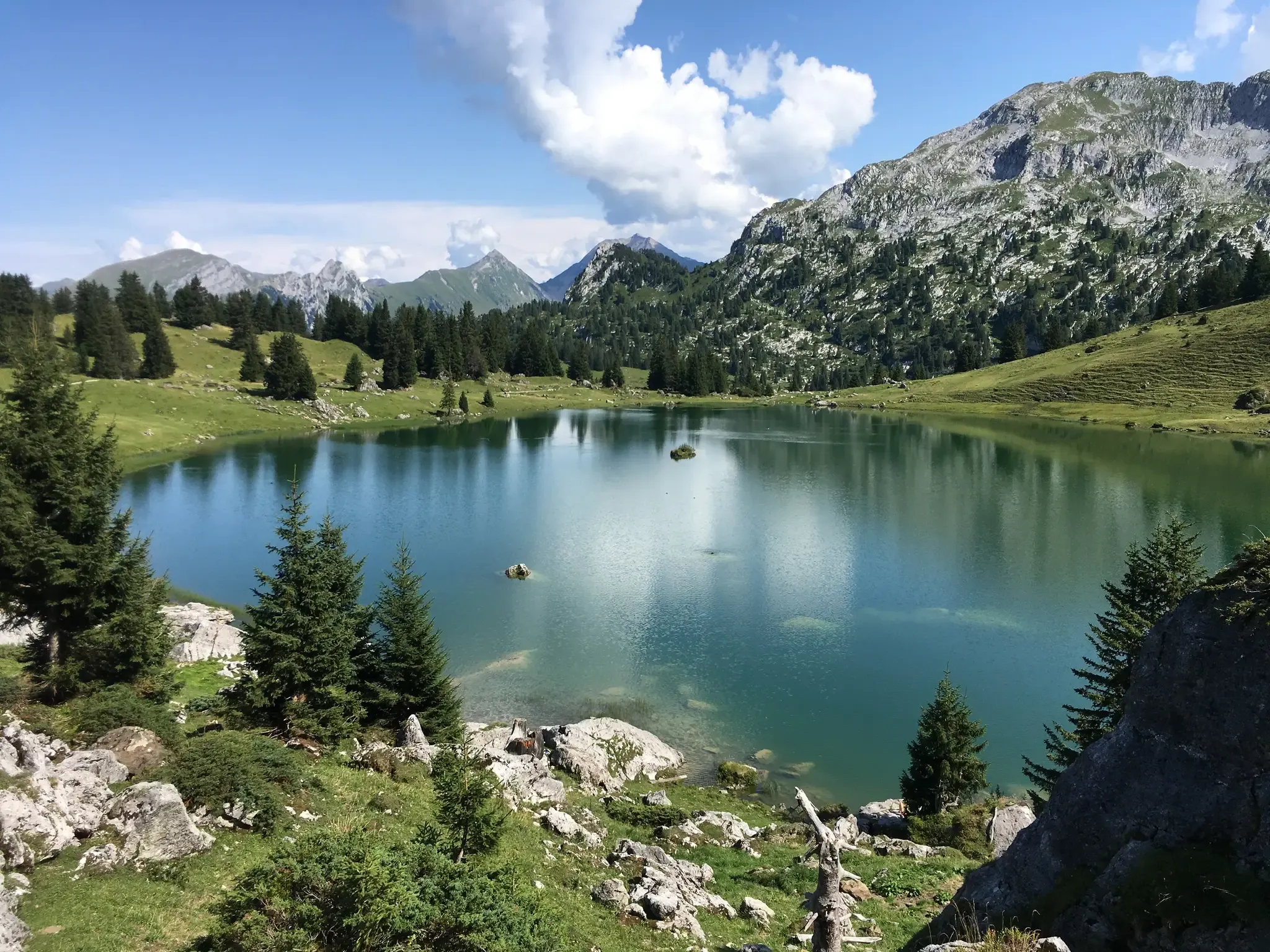
Hinterstockensee는 위치 때문에 Vorderstockensee와 자주 혼동됩니다. Hinterstockensee는 중앙에 섬이 있고 중간 역 바로 아래에 위치한 호수입니다. 관광객의 대다수가 케이블카를 타고 올라오기 때문에, 이 호수가 Vorderstockensee라고 쉽게 착각하게 됩니다. 그런데 두 호수 모두 수영과 바비큐를 즐기기에 좋으며, 바람이 없을 때는 주변 산들이 수정처럼 맑게 수면에 반사됩니다. 어떤 카메라로도 담아내고 싶은 최고의 사진 명소입니다. 낚시를 즐기는 사람들도 이곳에서 만족할 것입니다.
1
1

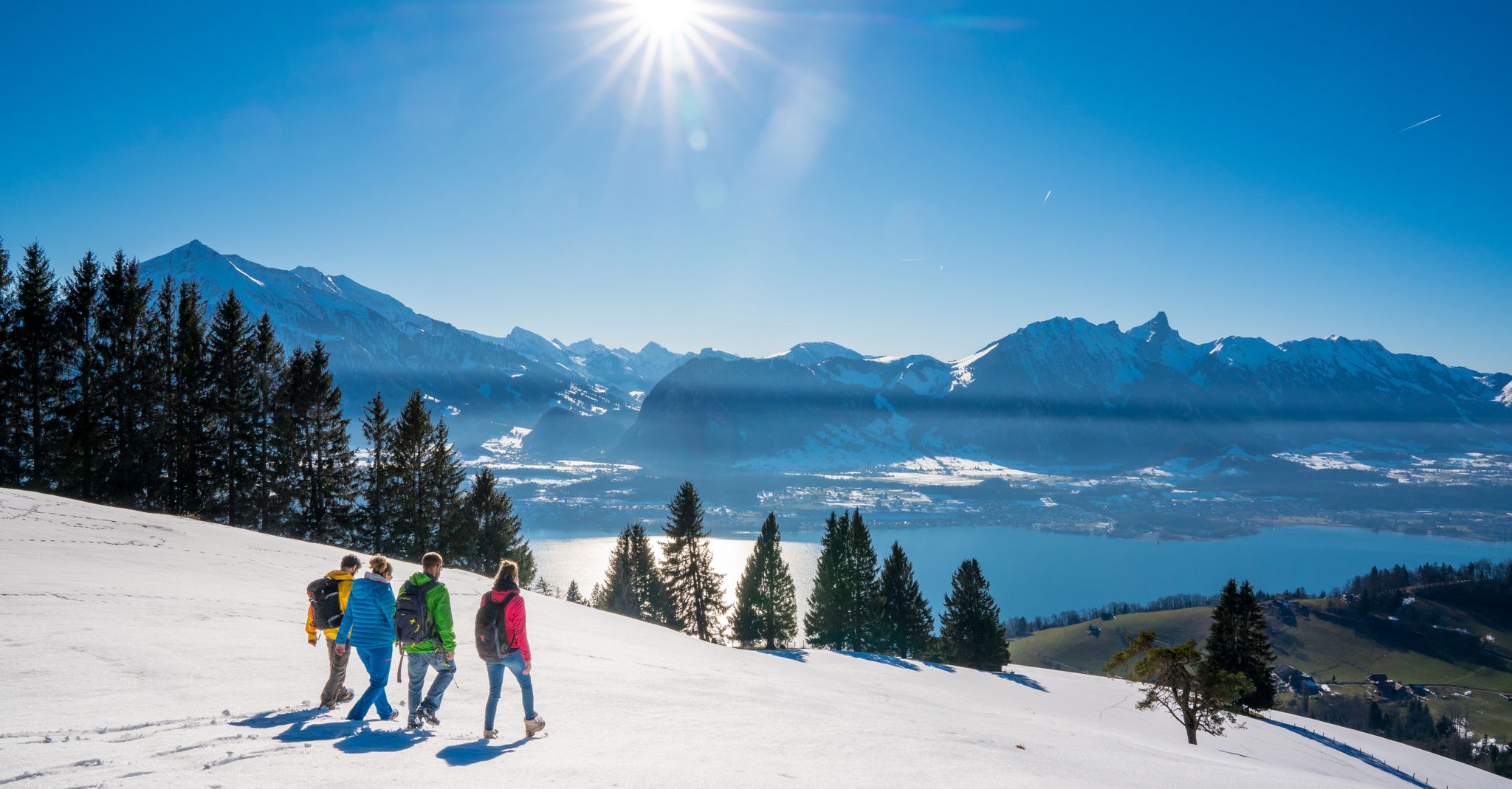
Very nice here, but in winter the sun only shines for a short time. It can be very cold.
4
0


더 살펴보기
찾고 있는 하이라이트를 아직 못 찾으셨나요? 다른 지역의 주요 명소 가이드를 확인해보세요:
