탈윌에서 가장 멋진 20개의 호수
탈윌에서 가장 멋진 호수를 방문하고 싶나요? 호숫가의 고요한 분위기를 느끼거나 날씨가 따뜻한 날 호수에 발을 살짝 담글 수 있다면 얼마나 좋을까요? Komoot 커뮤니티가 추천한 탈윌의 주요 호수를 아래에서 살펴보고, 다음 모험 때 직접 찾아가보세요!
마지막 업데이트: 10월 30, 2026

Restaurant Felsenegg
하이라이트 • 레스토랑
At an altitude of 800 meters, with breathtaking views of the city of Zurich, the lake, and the Alps. Enjoy unforgettable moments in the cozy dining room and …
번역자 Google •
팁에 의해

이런 장소를 발견하려면 지금 가입하세요
최고의 싱글 트랙, 봉우리 및 다양한 흥미로운 야외 장소에 대한 추천을 받아보세요.
뷔르글렌슈투츠 - 알비스 체인의 가장 높은 지점(915미터)
하이라이트 • 정상
번역자 Google •
팁에 의해


오늘 무료 계정으로 시작하세요
다음 모험이 기다리고 있어요.
커뮤니티 팁

Passing under the Quai Bridge is the easiest way to cross the busy Quai Bridge. It also offers a different, quite interesting perspective of the Old Town and Lake Zurich...
2
0

The Albis chain is a striking, largely forested mountain ridge that runs parallel to the Sihl and Lake Zurich from Sihlbrugg to Urdorf / Schlieren. It is flanked by two valleys, the Sihl valley in the east and the Reppisch valley in the west. The eastern flank of the Albis is steep, characterized by ridges, deep ditches and numerous streams. It is geomorphologically extremely active, sparsely populated and largely covered by the Sihl forest. The western side is less steep and has an unusually strong interweaving of forest and grassland on steep slopes for the Central Plateau. Here, the interaction between site conditions and human use has led to diverse, sometimes rare habitats.
4
0


The Bürkliplatz was created after the bulwarks of the former city fortifications were demolished. The city engineer Arnold Bürkli was responsible for the construction of the quay from 1882 to 1887. Land was heaped up on the lake shore and the quay bridge created a continuous lake promenade with avenues, meadows and parks. Today, the Bürkliplatz is a shipping pier and the starting point for tours on Lake Zurich. The square is also a versatile event location: the “Bürklimäärt” vegetable market takes place here twice a week, and the flea market on Saturdays in summer. The square also serves as the start and finish point for many sporting events.
12
0

When visibility is good, the view sweeps west across the Swiss Mittelland with its various mountain ranges to the Jura. The Central Swiss Alps rise to the south.
3
0

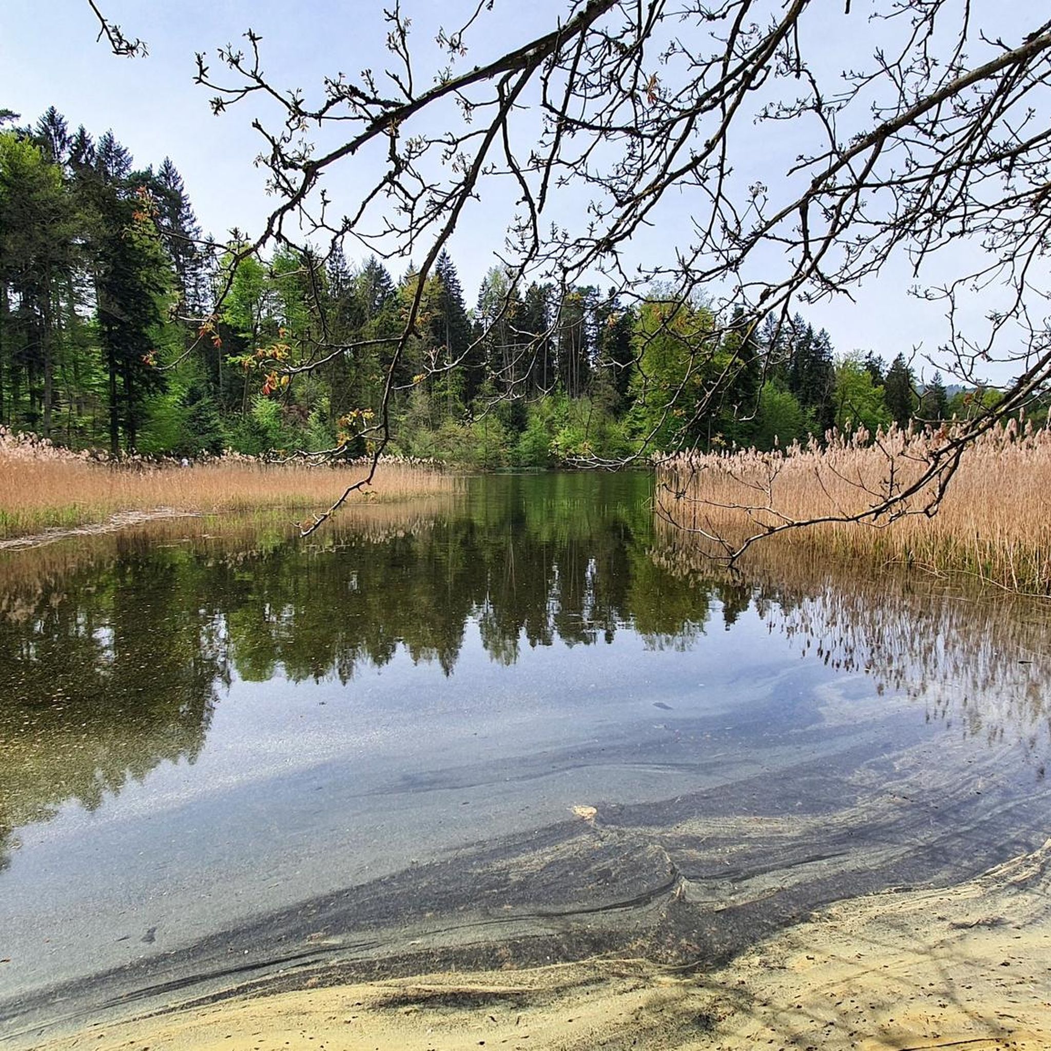
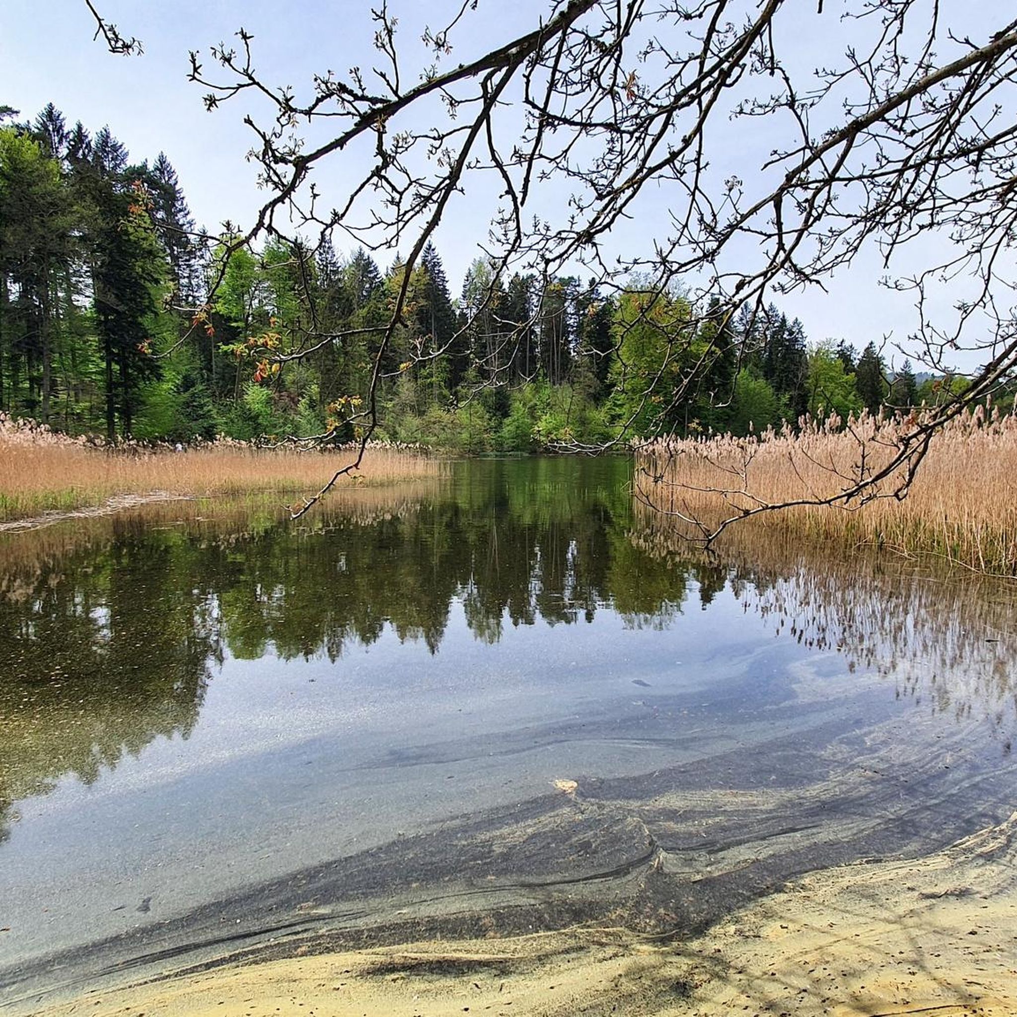
View from the Bürglenstutz down to the Türlersee
3
0

Zurich a beautiful but expensive city(😉)
12
1
Here is the highest point of the Albis chain
3
0


더 살펴보기
탈윌 주변에서 완벽한 호수를 아직 못 찾으셨나요? 이 지역의 가이드를 확인하여 더 아름다운 장소를 찾아보세요.
