오버리덴에서 가장 멋진 20개의 호수
마지막 업데이트: 11월 14, 2026
Uetliberg 정상 전망대
하이라이트 • 전망대
번역자 Google •
팁에 의해


이런 장소를 발견하려면 지금 가입하세요
최고의 싱글 트랙, 봉우리 및 다양한 흥미로운 야외 장소에 대한 추천을 받아보세요.
레스토랑 팔켄 펠젠에그
하이라이트 • 레스토랑
At an altitude of 800 meters, with breathtaking views of the city of Zurich, the lake, and the Alps. Enjoy unforgettable moments in the cozy dining room and …
번역자 Google •
팁에 의해

뷔르글렌슈투츠 - 알비스 체인의 가장 높은 지점(915미터)
하이라이트 • 정상
번역자 Google •
팁에 의해

오늘 무료 계정으로 시작하세요
다음 모험이 기다리고 있어요.
커뮤니티 팁

Passing under the Quai Bridge is the easiest way to cross the busy Quai Bridge. It also offers a different, quite interesting perspective of the Old Town and Lake Zurich...
2
0

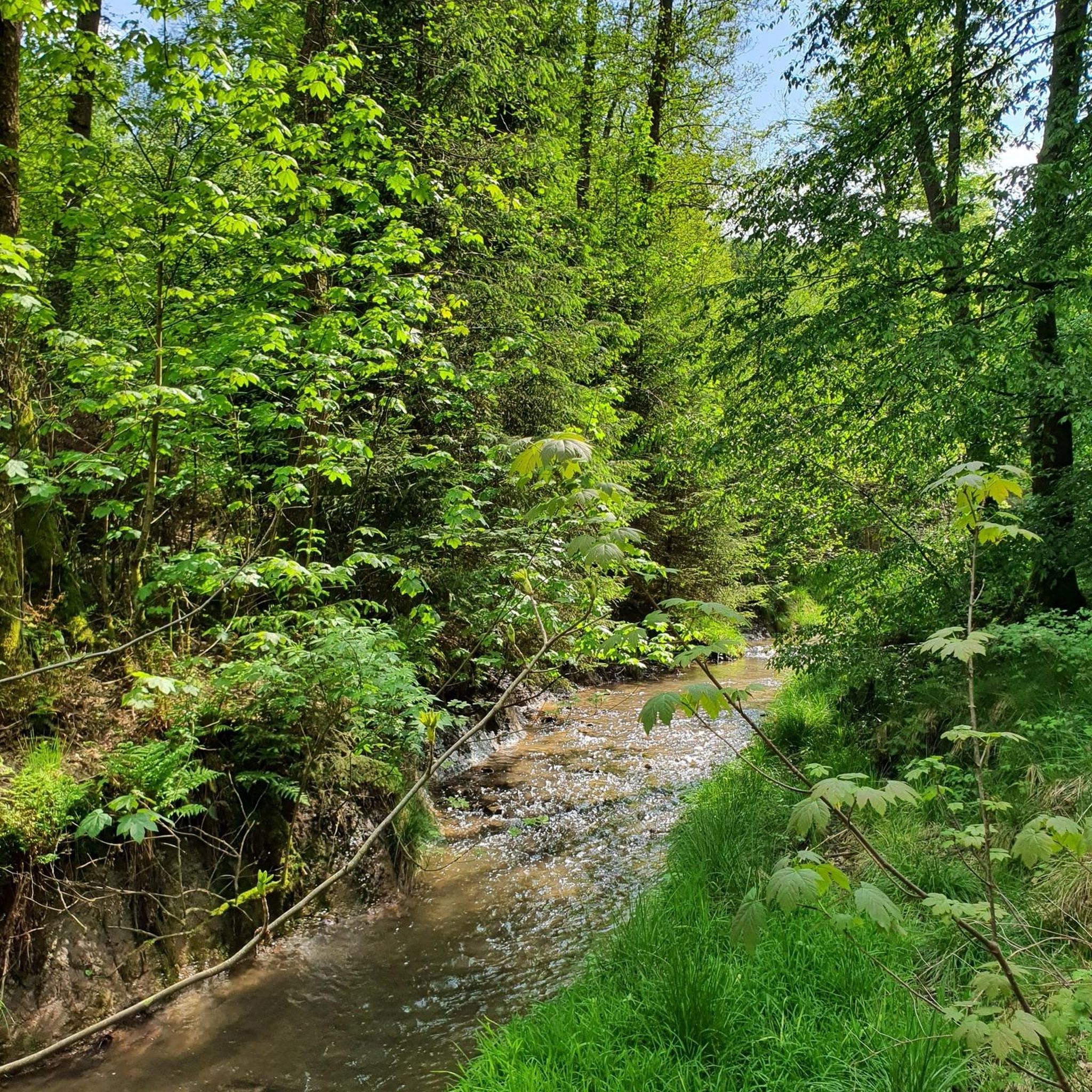
The Albis chain is a striking, largely forested mountain ridge that runs parallel to the Sihl and Lake Zurich from Sihlbrugg to Urdorf / Schlieren. It is flanked by two valleys, the Sihl valley in the east and the Reppisch valley in the west. The eastern flank of the Albis is steep, characterized by ridges, deep ditches and numerous streams. It is geomorphologically extremely active, sparsely populated and largely covered by the Sihl forest. The western side is less steep and has an unusually strong interweaving of forest and grassland on steep slopes for the Central Plateau. Here, the interaction between site conditions and human use has led to diverse, sometimes rare habitats.
4
0

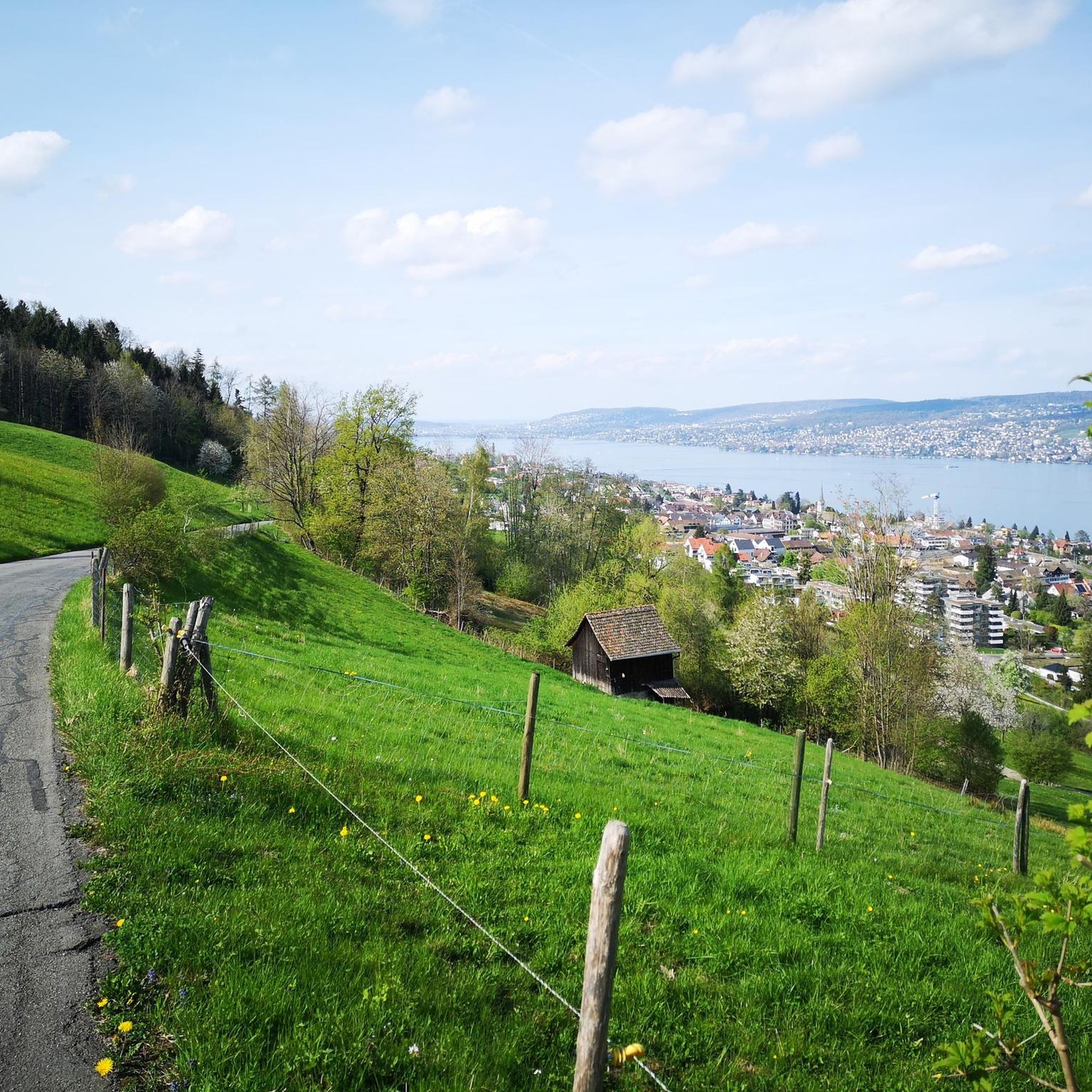
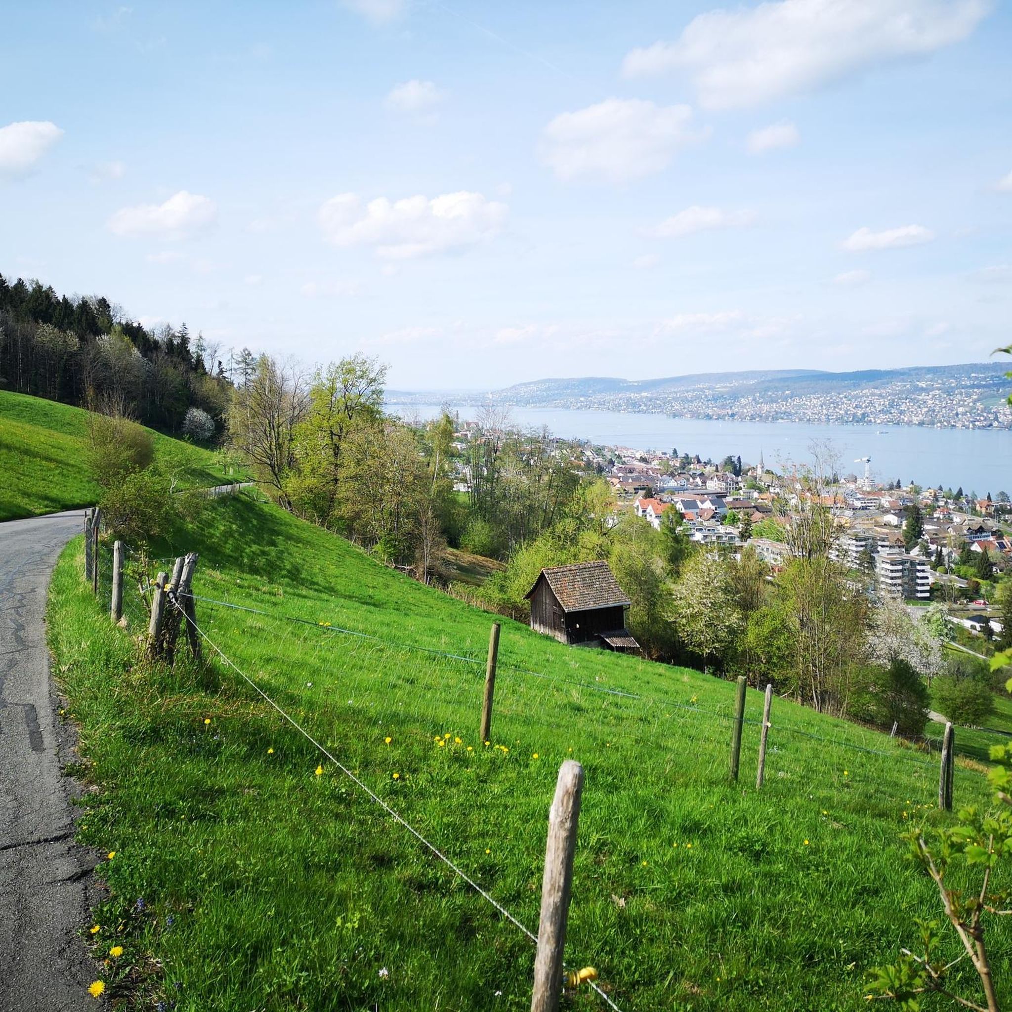
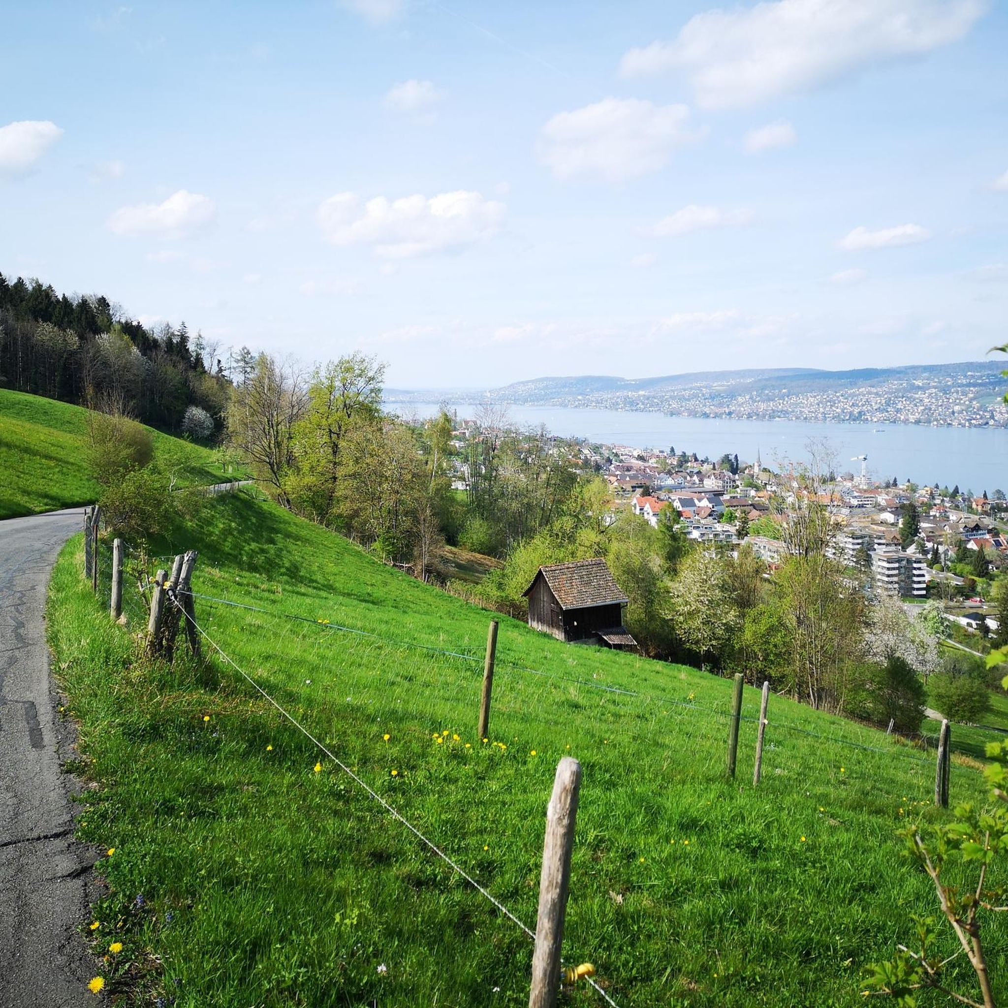
When you drive up the gravel road, slightly out of breath, and the panorama at Felsenegg opens up - simply majestic! You can take a break in the restaurant.
1
0


When visibility is good, the view sweeps west across the Swiss Mittelland with its various mountain ranges to the Jura. The Central Swiss Alps rise to the south.
3
0

View from the Bürglenstutz down to the Türlersee
3
0
Here is the highest point of the Albis chain
3
0

The highest point of the Albis chain is very easy to reach.
3
0


더 살펴보기
오버리덴 주변에서 완벽한 호수를 아직 못 찾으셨나요? 이 지역의 가이드를 확인하여 더 아름다운 장소를 찾아보세요.
