라인 삼각주에서 가장 멋진 20개의 호수
라인 삼각주에서 가장 멋진 호수를 방문하고 싶나요? 호숫가의 고요한 분위기를 느끼거나 날씨가 따뜻한 날 호수에 발을 살짝 담글 수 있다면 얼마나 좋을까요? Komoot 커뮤니티가 추천한 라인 삼각주의 주요 호수를 아래에서 살펴보고, 다음 모험 때 직접 찾아가보세요!
마지막 업데이트: 10월 24, 2026
Veerse Gatdam에서 바라본 북해와 Veerse Meer
하이라이트 • 전망대
번역자 Google •
팁에 의해

브롱흐론덴 자연 보호구역
하이라이트 • 자연
번역자 Google •
팁에 의해

이런 장소를 발견하려면 지금 가입하세요
최고의 싱글 트랙, 봉우리 및 다양한 흥미로운 야외 장소에 대한 추천을 받아보세요.
오스터스헬데 국립공원
하이라이트 (구간) • 자연 기념물
번역자 Google •
팁에 의해

Vroonweg 자갈길
하이라이트 (구간) • 트레일
번역자 Google •
팁에 의해

지에리크제 구 항구
하이라이트 • 역사적 장소
번역자 Google •
팁에 의해

무료로 가입하여 라인 삼각주의 더 많은 호수를 발견하세요.
이미 komoot 계정이 있나요?
오늘 무료 계정으로 시작하세요
다음 모험이 기다리고 있어요.
라인 삼각주 주변 인기 장소
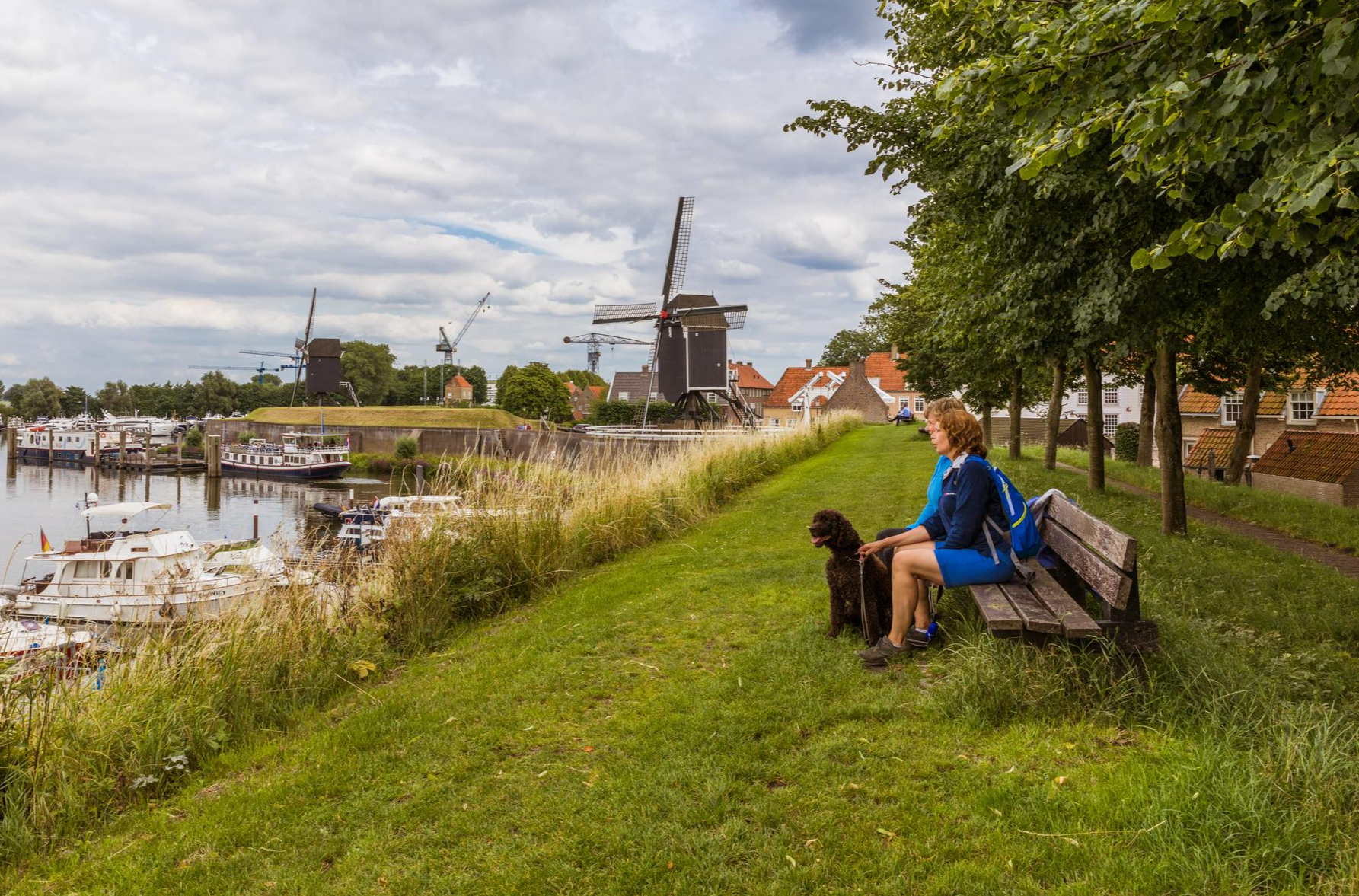
Following Van Gogh’s footsteps in the Netherlands: Hiking in Brabant

플랑드르에서 아르덴까지 — 벨기에 GR 5
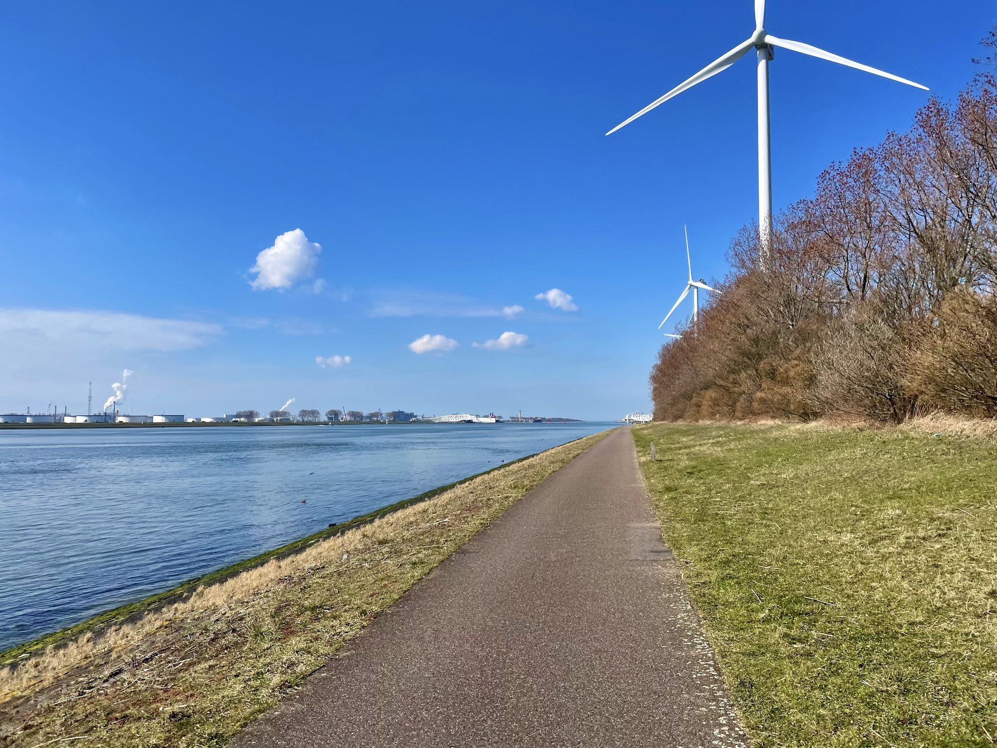
뫼즈 자전거 루트 - 언덕에서 항구까지 뫼즈 강을 따라 걷기
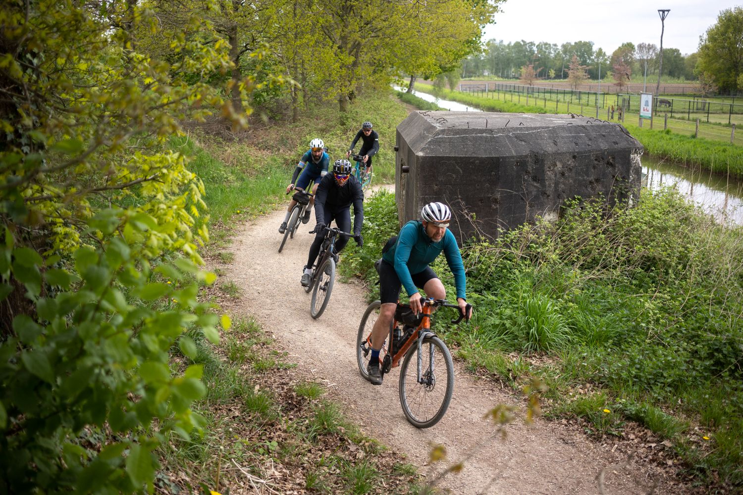
Liberation Divide | 북브란트 직통

나폴리에서 북극 펜 - 두 친구, 한 목적과 많은 아이스크림
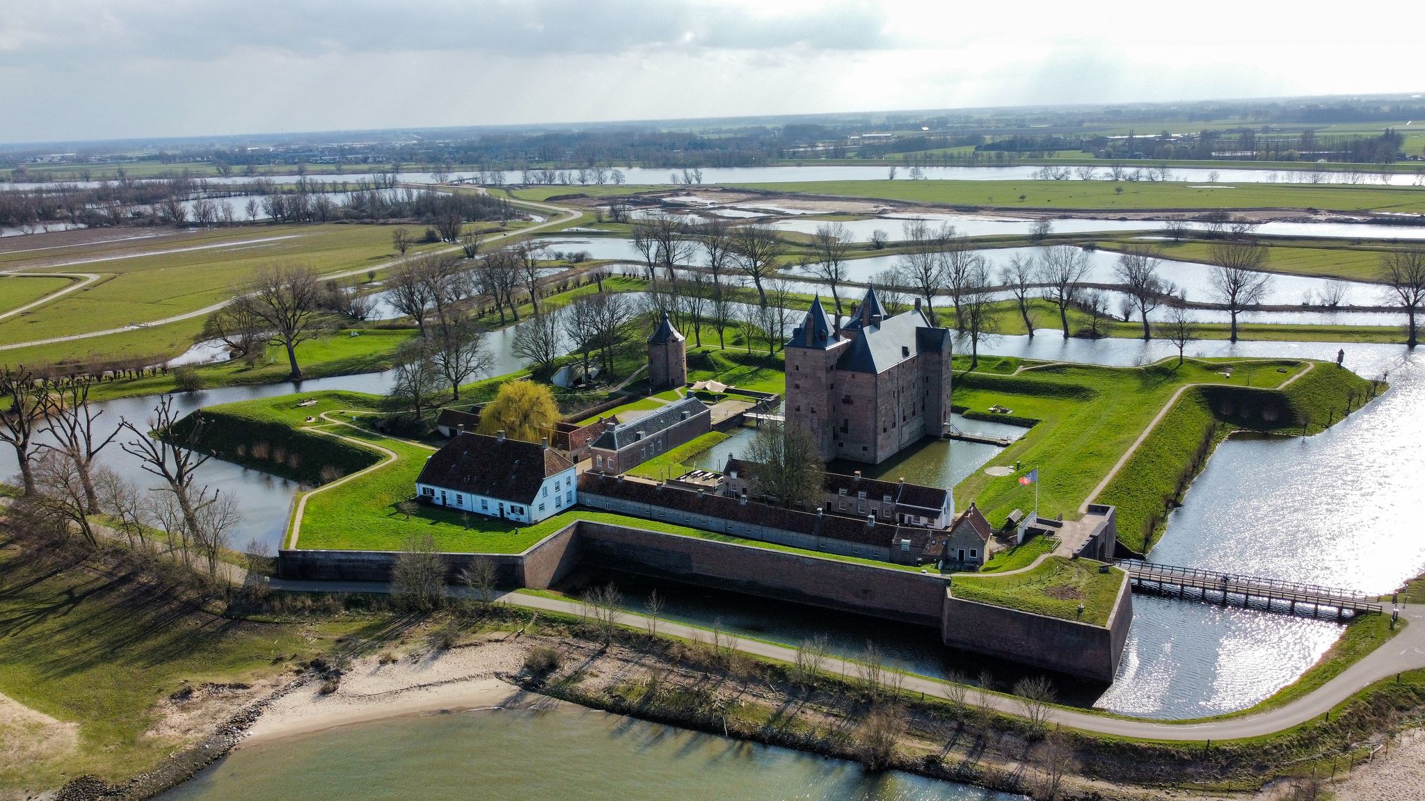
Zuiderwaterlinie - 제목, 화터, 이리 & 포리스
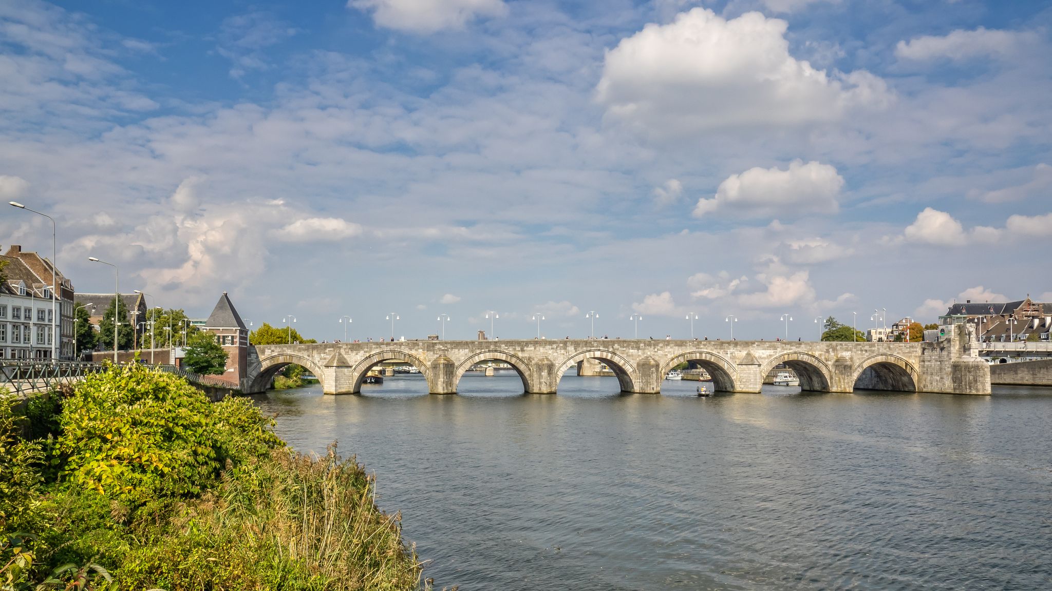
마스트리흐트에서 로터담까지 모즈 강변으로 – LF Maasroute
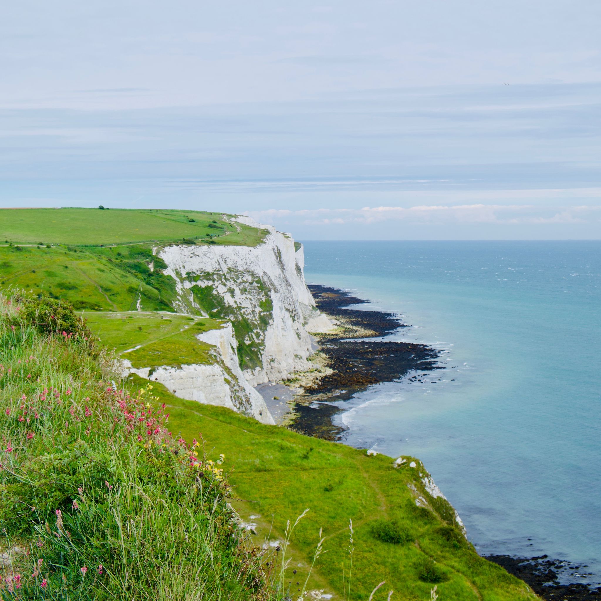
아델담에서 런던까지 - 북해와 물을 따라
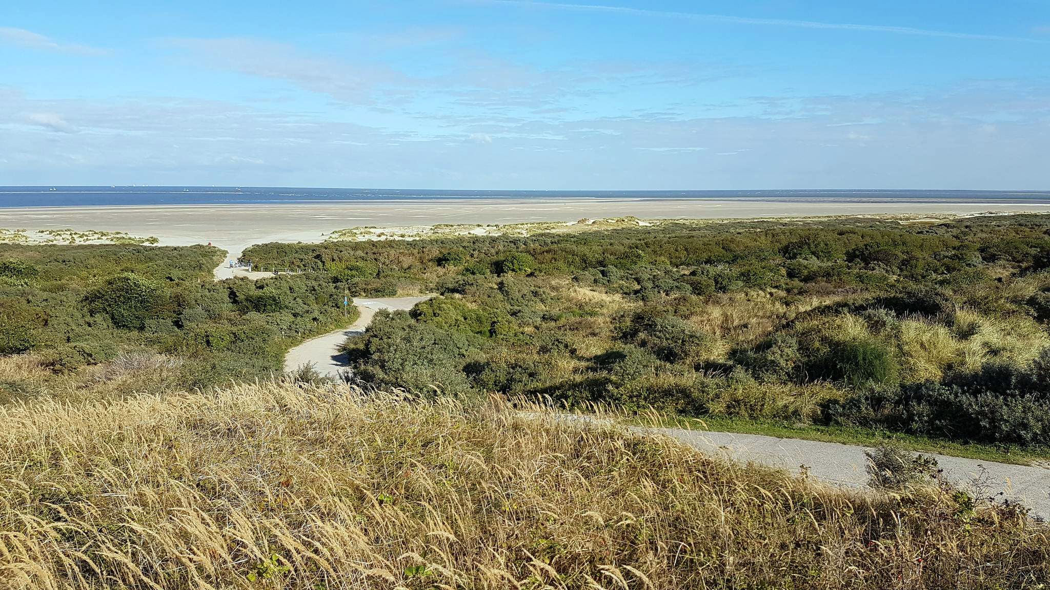
북해 해안 자전거 경로 — 네덜란드와 벨기에

라인 자전거 도로는 발원지에서 북해까지
라인 삼각주의 다른 모험


커뮤니티 팁

Endless beaches, great views, beautiful bike path.
1
0

The cycle path above the dike is raised - logically - so you have a great view of the sea.
4
1

The Veersedam, or Veersegatdam, was built in 1961 at the mouth of the Veerse Gat to protect parts of Walcheren, Noord-Beveland, and Zuid-Beveland from a potential new disaster. The construction of the dam, which was intended to connect Walcheren with Noord-Beveland, was not easy. The Veerse Gat was larger than the Zandkreek, and a strong current occurred at every high tide. More than 70 million m3 of water flowed through the mouth at both low and high tide. If the hole were closed with the same caissons as at the Zandkreek Dam, the current would eventually become too strong (the smaller the hole to be closed, the greater the current, as the same amount of water is forced through a smaller opening). The solution was the so-called "pass caissons," which, unlike the unit caissons of the Zandkreek Dam, were open. The section where the dam was to be built was first raised by spraying sand, and then a "sill" of stones was placed on which the caissons could stand firmly. The caissons were then placed one by one into the 320-meter-wide hole. At the time of installation, the caissons were still open, allowing water to flow freely, and only when the flow was minimal were the gates in the caissons lowered. Since the Zandkreek was already closed, a new lake, the Veerse Meer, was created. Much would change in this lake, especially as the saltwater slowly became brackish. Source: https://www.hollandlandofwater.com/de/veerse-gatdam/
7
0

The old port of Zierikzee is a beautiful and historic part of this Zeeland city. Located in the heart of Zierikzee, on the east side of the island of Schouwen-Duiveland, the old harbor plays a central role in the maritime history and character of the city. The old harbor bears witness to Zierikzee's rich past as a thriving trading city. During the Middle Ages and the Golden Age (17th century), Zierikzee was an important center for trade and shipping, and the port was the beating heart of these activities. Along the quay of the old harbor there are characteristic, historic buildings with traditional architecture. The combination of the old stone buildings, the quay and the water gives the area a picturesque and picturesque appearance. Some of the buildings along the old harbor are Grade II listed and have retained their historic features. These architectural treasures tell the story of the prosperity and importance of Zierikzee in earlier times. #WandelTotaal
10
1
The old harbor in Zierikzee is a characteristic part of this historic city in the province of Zeeland, the Netherlands. Zierikzee has a rich maritime heritage and the old port plays an important role. Here are some features and things to know about the Old Port: The old harbor is located in the heart of Zierikzee and is known for its synthetic and picturesque appearance. Along the quay you will see historic buildings and traditional sailing ships mooring. Zierikzee has a long history as a trading city and flourished during the Middle Ages and the Golden Age (17th century). The old port bears witness to this history and recalls the times when trade and shipping were essential to the prosperity of the city. Along the old harbor you will find several monumental buildings that reflect the prosperity and trading activities of the past. Some of these buildings still retain their historic features and architecture. The old harbor is often a lively place where tourists and locals come together. There are often cozy restaurants, cafes and shops nearby, making it an attractive place to walk and enjoy the surroundings. The old port of Zierikzee is sometimes used as a location for events, markets or festivals, making it a vibrant place. #WandelTotaal
8
1

If you get there early in the morning, you can enjoy the peace and quiet almost alone
1
0

We love this bike route. From Scharendijke across the island to the south. Then along the Oosterschelde over dykes and directly past the water. Sometimes you share the path with sheep and cows. Then stroll in Zierikzee and across the island back to Scharendijke. A total of about 40 km. When the sun is shining, the water is wonderfully blue and you can hear it rushing next to you all the time.
5
0

One of the many viewpoints of the North Sea and the Veerse Meer.
9
0
라인 삼각주에서 가장 인기 있는 명소


더 살펴보기
라인 삼각주에서 완벽한 호수를 아직 못 찾으셨나요? 이 지역의 가이드를 확인하여 더 아름다운 장소를 찾아보세요.
