포핑에서 가장 멋진 16개의 호수
Poperinge 주변의 최고의 호수는 주로 역사적인 연못과 자연 지형입니다. 이 지역은 홉 재배 전통과 제1차 세계 대전의 역사로 유명하기 때문입니다. Poperinge 바로 안쪽에 광범위한 대중 레크리에이션을 위한 큰 자연 호수는 두드러지지 않지만, 이 지역은 사이클링과 하이킹을 위한 경치 좋은 풍경을 제공합니다. 이 지역의 물 관련 활동은 종종 레크리에이션과 자연 보존을 위해 보존된 역사적인 연못을 중심으로 이루어집니다. 이러한 장소는 지역 역사를 탐험하고 다양한 조류 종을 관찰할 기회를 제공합니다.
Poperinge 주변 최고의 호수
- 가장 인기 있는 호수는 제1차 세계 대전 중 지뢰…
마지막 업데이트: 10월 17, 2026

스판브루크몰렌 분화구(평화의 연못)
하이라이트 • 자연 기념물
번역자 Google •
팁에 의해
이런 장소를 발견하려면 지금 가입하세요
최고의 싱글 트랙, 봉우리 및 다양한 흥미로운 야외 장소에 대한 추천을 받아보세요.
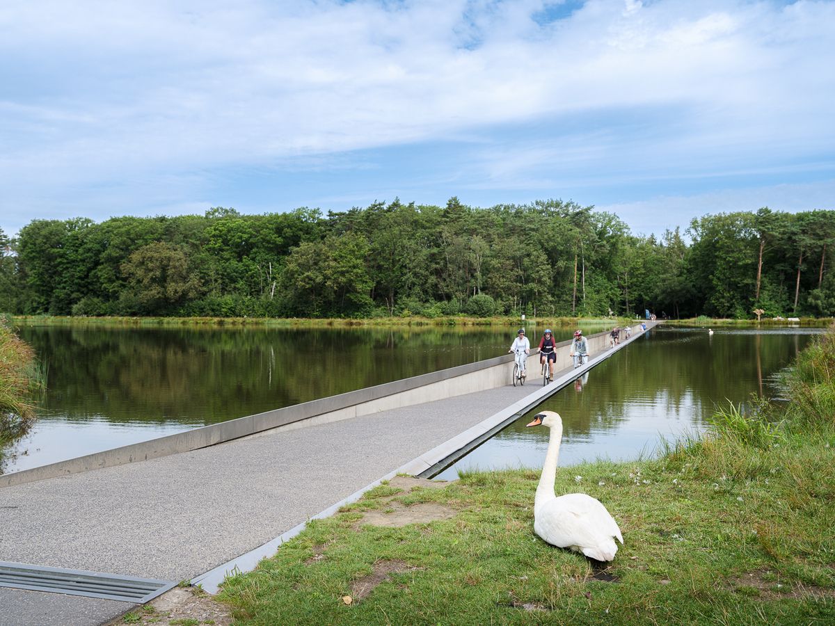
팔링비크 공원 내 연못을 따라 난 길
하이라이트 • 트레일
번역자 Google •
팁에 의해

이페르의 평화 숲 (Vredesbos)
하이라이트 • 숲
번역자 Google •
팁에 의해


무료로 가입하여 포핑 주변의 더 많은 호수를 발견하세요.
이미 komoot 계정이 있나요?



커뮤니티 팁

Two corrections: Contrary to what the original name of this highlight stated, you are not in the Begelen domain (which is located in Gullegem, about 25 km from here), but in the Palingbeek domain. And, contrary to what another user here stated, this was not previously a mining area (in the sense of a mining area), but an area scarred by mines and bombs during the First World War.
1
0

Beautiful nature, lots of explanation about the region along various information boards.
1
0

An interesting anecdote concerns the explosion of one of the mines on 17 July 1955 by lightning. This mine had not been detonated during the war and was still underground. The explosion created a new crater and reminded the local population of the lasting impact of the war.
7
0
The Spanbroekmolen crater, also known as the Pool of Peace, is an impressive mine crater in Wijtschate. This crater was formed on June 7, 1917, during the Second Battle of Messines, when British troops detonated 19 underground mines. The explosion created a crater 27 meters deep and 129 meters in diameter. After nearly 100 years of erosion, the crater is now a peaceful pool 12 meters deep and 76 meters in diameter.
9
0
An interesting anecdote concerns the battles around the pond during the war. Soldiers used the pond as a natural barrier and shelter. There are stories of soldiers wading through the water at night to reach enemy lines, which gave the pond strategic significance.
7
0

large spaces to run with your dog (on a leash)
1
0

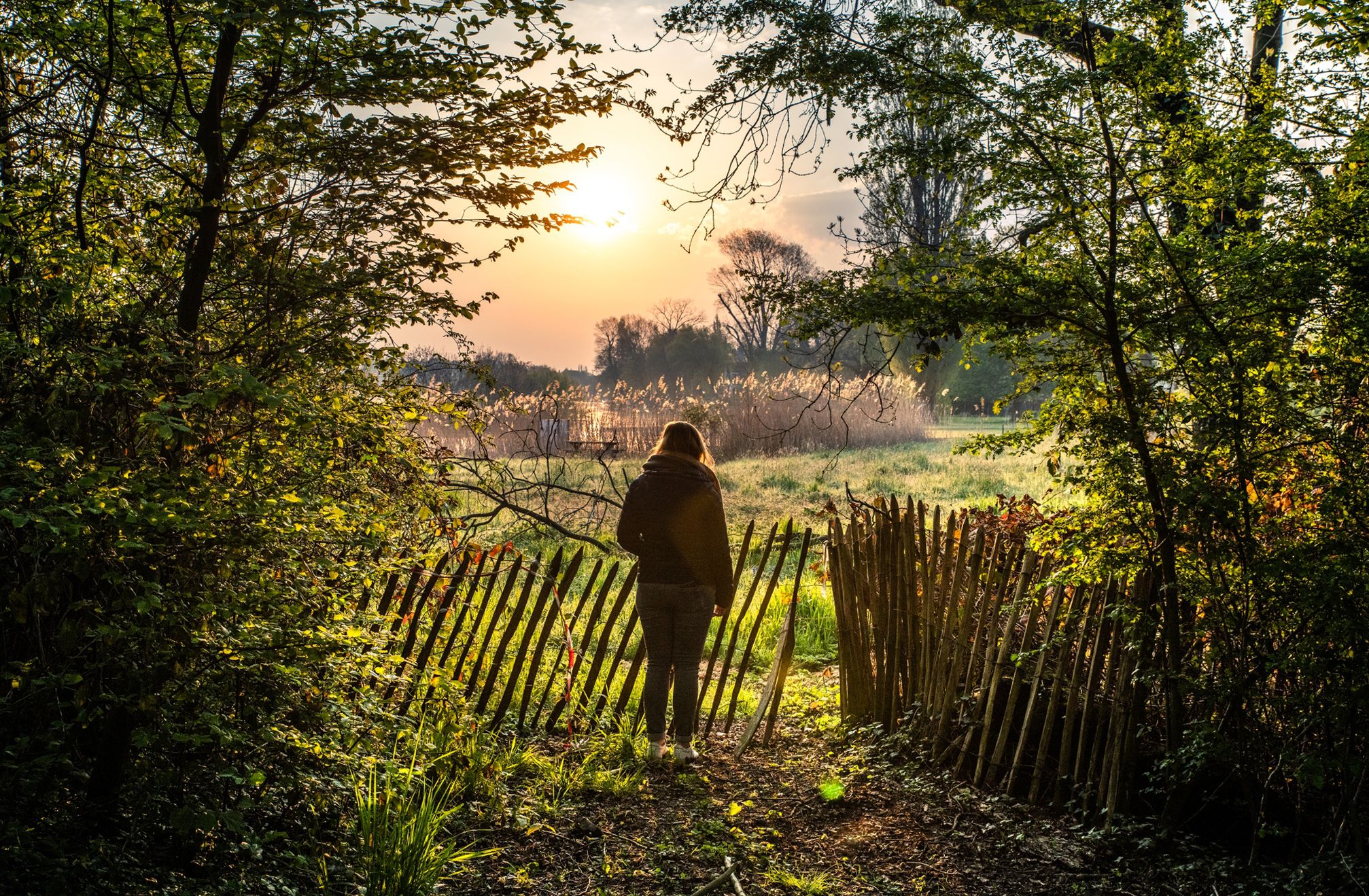
The domain, once a mining site, is now an oasis of greenery with well-maintained footpaths that wind through forests, meadows and past tranquil ponds. The area is known for its rich biodiversity. During your walk you will be treated to the sound of birds and the view of the water, especially in spring and summer.
1
1

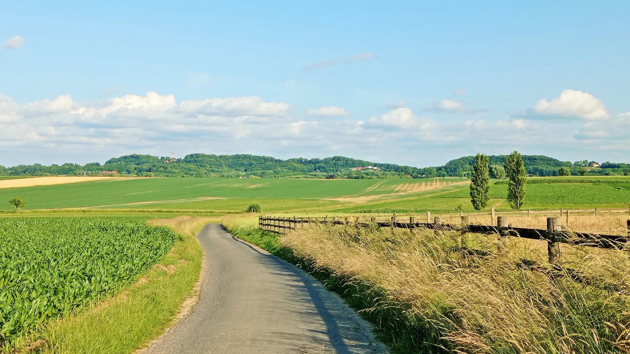
A walking path around it stimulates the observation of the surroundings. Due to the high location (76m) one has a good view. It gives an idea of the view that the Germans had over the battlefield. Various landmarks make the spatial filling of the front landscape interpretable: the position of the Pool of Peace shows the advanced German positions, the first 130m on the other side of the Kruisstraat formed the no man's land. (Inventory of Immovable Heritage)
11
0


