카프리케에서 가장 멋진 20개의 호수
카프리케에서 가장 멋진 호수를 방문하고 싶나요? 호숫가의 고요한 분위기를 느끼거나 날씨가 따뜻한 날 호수에 발을 살짝 담글 수 있다면 얼마나 좋을까요? Komoot 커뮤니티가 추천한 카프리케의 주요 호수를 아래에서 살펴보고, 다음 모험 때 직접 찾아가보세요!
마지막 업데이트: 8월 24, 2026
Het Leen의 연못들
하이라이트 • 호수
번역자 Google •
팁에 의해

Boerekreek
하이라이트 • 호수
번역자 Google •
팁에 의해

이런 장소를 발견하려면 지금 가입하세요
최고의 싱글 트랙, 봉우리 및 다양한 흥미로운 야외 장소에 대한 추천을 받아보세요.
무료 회원 가입

Vrouwkenshoekkreek
하이라이트 • 호수
번역자 Google •
팁에 의해
무료로 가입하여 카프리케 주변의 더 많은 호수를 발견하세요.
무료 회원 가입
이미 komoot 계정이 있나요?
오늘 무료 계정으로 시작하세요
다음 모험이 기다리고 있어요.
로그인 또는 가입하기


커뮤니티 팁

The Blokkreek is approximately 3 km long and meanders through the flat landscape. Peat was dug here during the early Middle Ages. These pits were later eroded further and further during countless floods and storm surges. (RouteYou)
7
0
Vrouwkenshoekkreek is a creek in the Meetjesland creek area, north of the East Flemish town of Sint-Laureins. The creek is part of a larger creek system that also includes Blokkreek. Although it was a valuable creek, it was filled in the 1950s with sediment from the dredging of the nearby Leopold Canal. This resulted in the disappearance of the unique habitat, leaving only grassland where the creek once lay. In the 1990s, the site was purchased by Natuurpunt, and restoration work began in 2009, including the reestablishment of the connection with Blokkreek, located on Dutch territory (south of Sint Kruis), which had also undergone restoration. The restoration work was completed in 2012. In addition to its function as a nature reserve, the system can also be used for water storage. (Wikipedia)
7
0

Creek restoration A small section of the Vrouwkenshoekkreek remained filled in until recently. This plot is a historic small extension of the Vrouwkenshoekkreek, which was filled in with waste, soil and stones at the time. This section has now been cleared of the maple that dominated. The waste was dug out and the banks were profiled. Want to know more? Click through to https://www.natuurpunt.be/projecten/natuurherstel-in-meetjeslandse-kreken
8
0

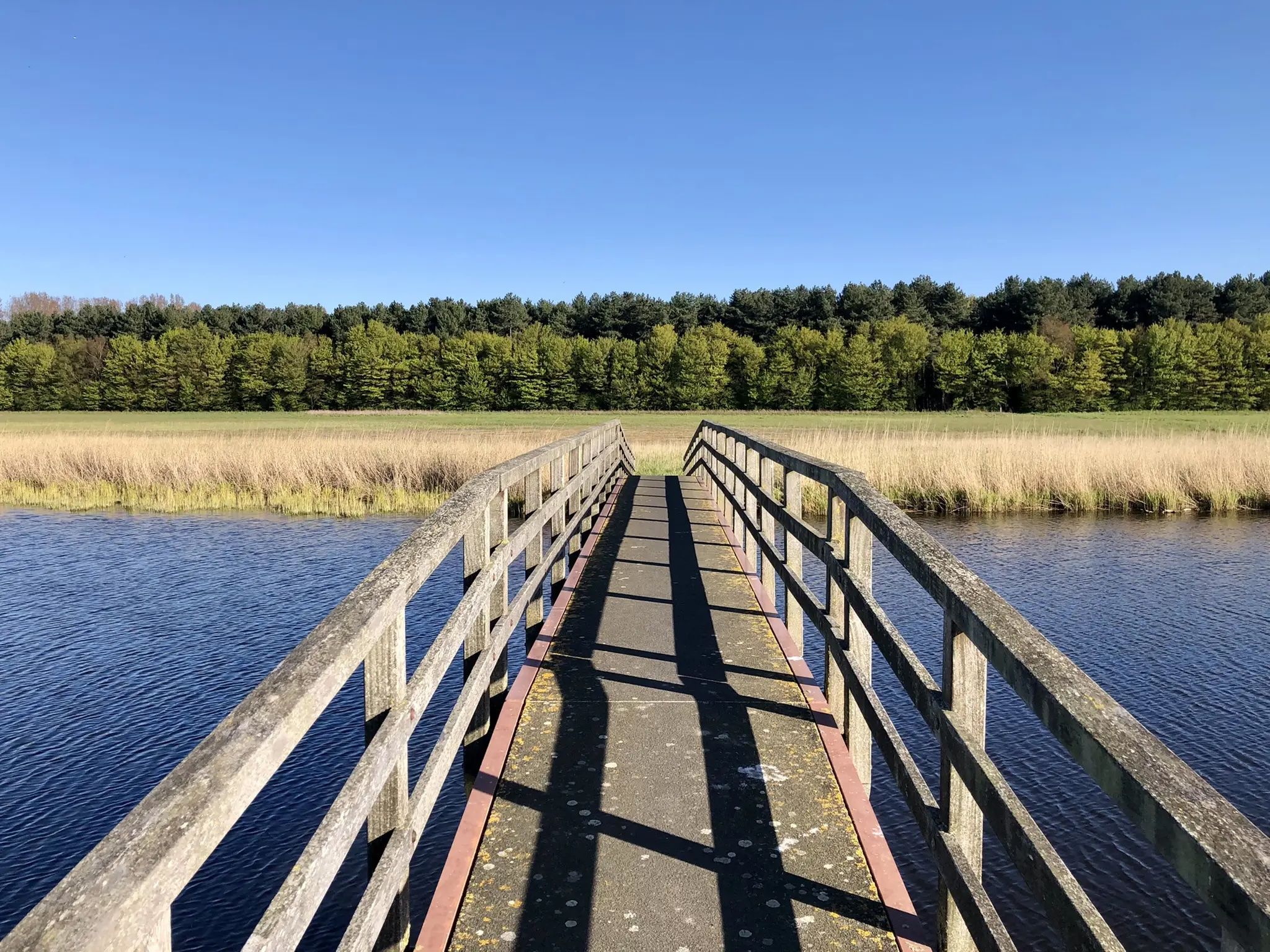
It is a magnificent walking route in which you pass many creeks. Time can be made for a stop along the creeks for a picnic or rest moment with a beautiful view. Recommended!
0
0


Quiet creek. Ideal to relax and strengthen the inner person while enjoying the view.
1
0
The Blokkreek is a creek in the East Flemish Meetjesland (Meetjeslands creek area), located between Sint-Laureins and Sint-Margriete. The most eastern part of the Blokkreek is of particular importance, which is partly on land, but which also contains a swamp area called Den Draaiput, which is rich in special plant and animal species. In the north, the Blokkreek is connected to the Hollandersgatkreek and in the south with the Vrouwkenshoekkreek, which is again called Blokkreek on Dutch territory. Remarkable are the almost right-angle bends in the creek system, possibly the result of the fact that the creek developed along man-made structures (roads, dike remnants) when it originated. The area is European protected as part of Natura 2000 area 'Polders'. Source Wikipedia
8
0

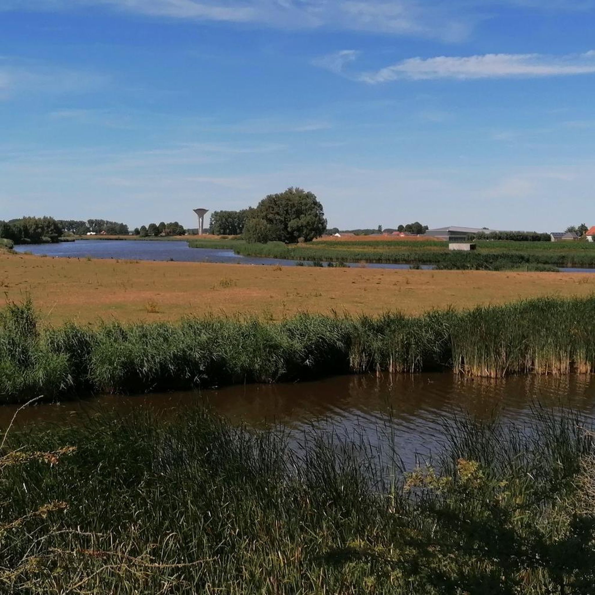
With an area of 39 hectares, the Boerekreek is the largest in the region. Long ago called the Grote Geule, you can view it from the Leopold Canal and from the road to Sint-Jan-in-Eremo. There is also a Bloso water sports center where you can park (not always open). From the Leopold Canal (east of the Sint-Jansbrug) you can see part of the part managed by Natuurpunt and an information board a little further. Attention: the part with the footpath and Instagram sign that is occasionally shown here between the photos is on the Oostpolder Creek on the other side of the road.
4
0


