뢰겔리너 호수에서 가장 멋진 6개의 호수
뢰겔리너 호수에서 가장 멋진 호수를 방문하고 싶나요? 호숫가의 고요한 분위기를 느끼거나 날씨가 따뜻한 날 호수에 발을 살짝 담글 수 있다면 얼마나 좋을까요? Komoot 커뮤니티가 추천한 뢰겔리너 호수의 주요 호수를 아래에서 살펴보고, 다음 모험 때 직접 찾아가보세요!
마지막 업데이트: 8월 22, 2026


이런 장소를 발견하려면 지금 가입하세요
최고의 싱글 트랙, 봉우리 및 다양한 흥미로운 야외 장소에 대한 추천을 받아보세요.
무료 회원 가입
클록스도르프 목욕장
하이라이트 • 해변
번역자 Google •
팁에 의해
오늘 무료 계정으로 시작하세요
다음 모험이 기다리고 있어요.
로그인 또는 가입하기

커뮤니티 팁

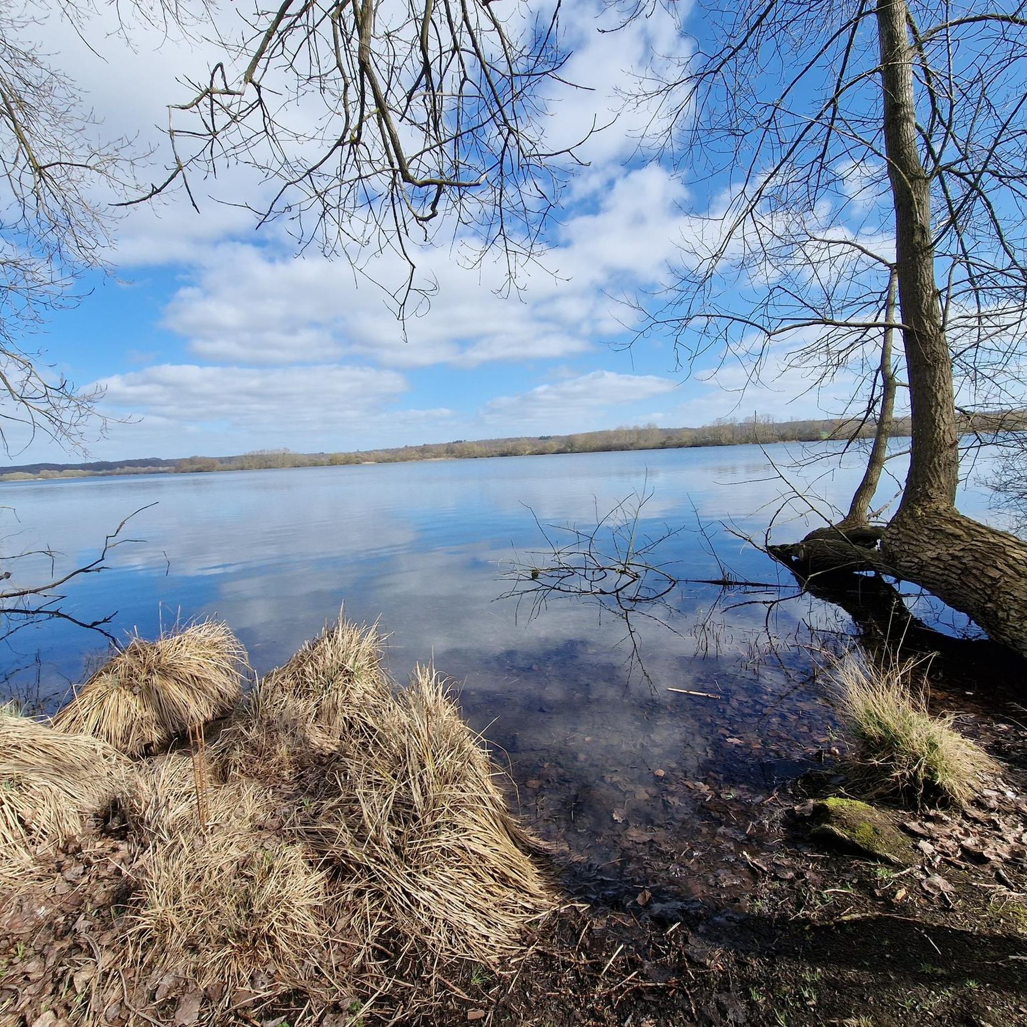
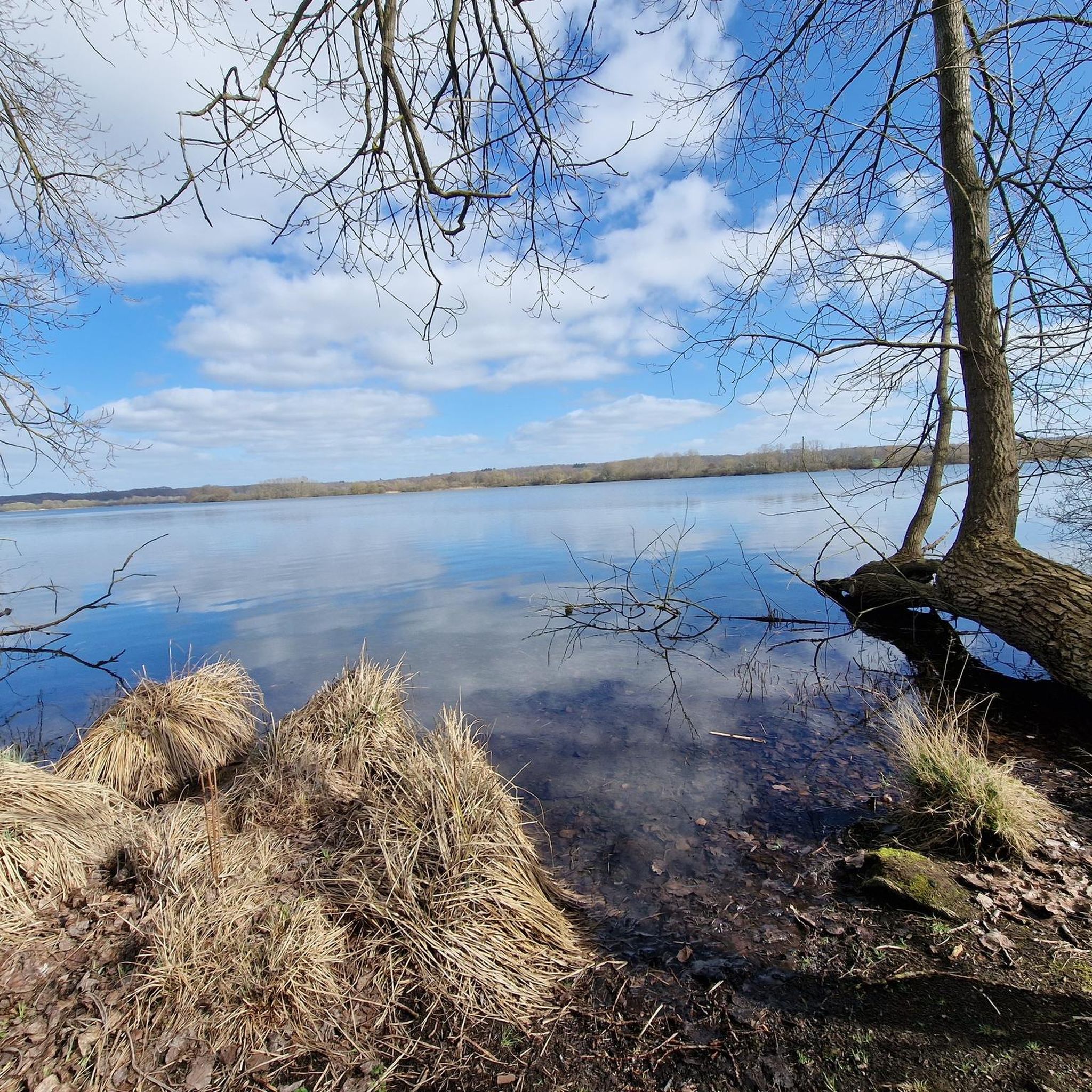
모기들이 정말 지독하고 약간 이끼가 끼었지만, 엄청나게 목가적인 장소였습니다. 물론, 길은 가깝지만, 이제는 오히려 작은 길입니다.
0
0


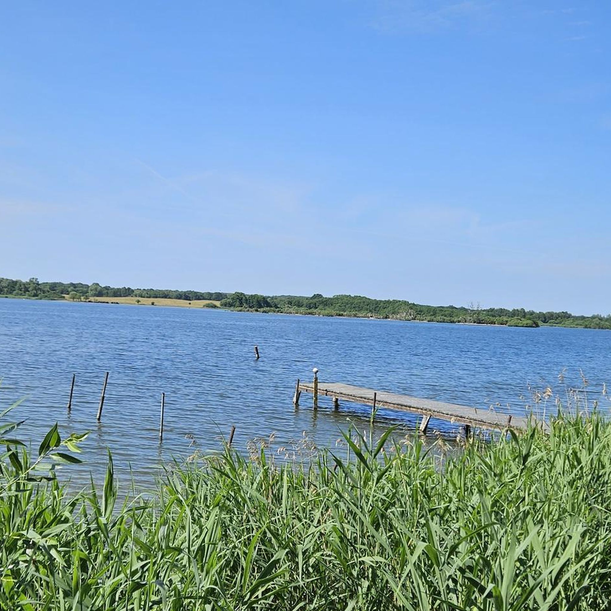
Beautiful swimming area with a jetty. Plenty of shade in the summer.
1
0

Bathing area more or less directly on the road. Not a comfortable place to lie down and currently populated by trillions of mosquitoes, it's not enough to jump into the lake for a quick moment...
1
0


Well-kept swimming area, good jetty with a bench on it, clear water
3
0

In summer you can cool down here and in winter you have a wonderful view over the lake from the jetty. Sea eagles can also be observed very regularly from here. The Röggelinger See is a nature conservation and FFH area!
2
0

The Röggeliner See is a lake in the Schaalsee biosphere reserve in northwest Mecklenburg-Western Pomerania. The structured Flachsee is mainly in the municipality of Carlow in the district of Northwest Mecklenburg. The town of Klockstorf is located on the north bank, on the south and south-east bank the municipality of Dechow borders with the towns of Dechow and Röggelin. Only a small part of the lake including a small island covered with deciduous forest belongs to the municipality of Dechow. Another island overgrown with mixed forest lies in the middle of the lake, one with reeds near the northwest shore. The water has maximum dimensions of 2.24 by 1.16 kilometers. The mean depth is 2.9 meters. The deepest point at 6.8 meters is in the eastern bay. There are accesses to the lake in the localities of Klocksdorf and in the northern area of Dechow. There are bathing areas and jetties in both places. The main entrance to the lake, however, is the Klocksdorf fishery jetty south of Klocksdorf. There is also a car park and an observation tower here. The lake and the Kuhlrader Moor bordering it in the west were created by dead ice caves that remained after the Pomeranian maximum advance of the Vistula Ice Age after the glacier melted. The basin in which the lake and moor lie was originally without any drainage. The lake is fed by several ditches. The catchment area is about 16 km². To the north, the lake initially flows piped over the Schoorbeck in the direction of Stover Mühlenbach and Maurine. The majority of the lake, the adjacent banks and the Kuhlrader Moor belong to the nature reserve Kuhlrader Moor and Röggeliner See, which is part of the Schaalsee biosphere reserve. As early as 1956, areas in this area were placed under nature protection. The lake is classified as moderately eutrophic. On the large island in the lake there has been a cormorant colony since 1992, which can be easily recognized by the dead eyrie trees, the trunks of which are whitewashed by the droppings of the birds. In 1996 there were 171 breeding pairs. In the Middle Ages, the largest knight's castle in the Ratzeburg diocese was located on the peninsula in the lake near Röggelin. According to legend, the stones from the castle were used to build the foundations of the Demern village church around 1480. https://de.wikipedia.org/wiki/R%C3%B6ggeliner_See
3
0
뢰겔리너 호수 주변에서 가장 인기 있는 명소


더 살펴보기
뢰겔리너 호수 주변에서 완벽한 호수를 아직 못 찾으셨나요? 이 지역의 가이드를 확인하여 더 아름다운 장소를 찾아보세요.
